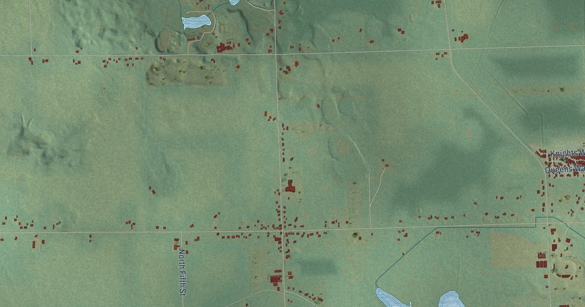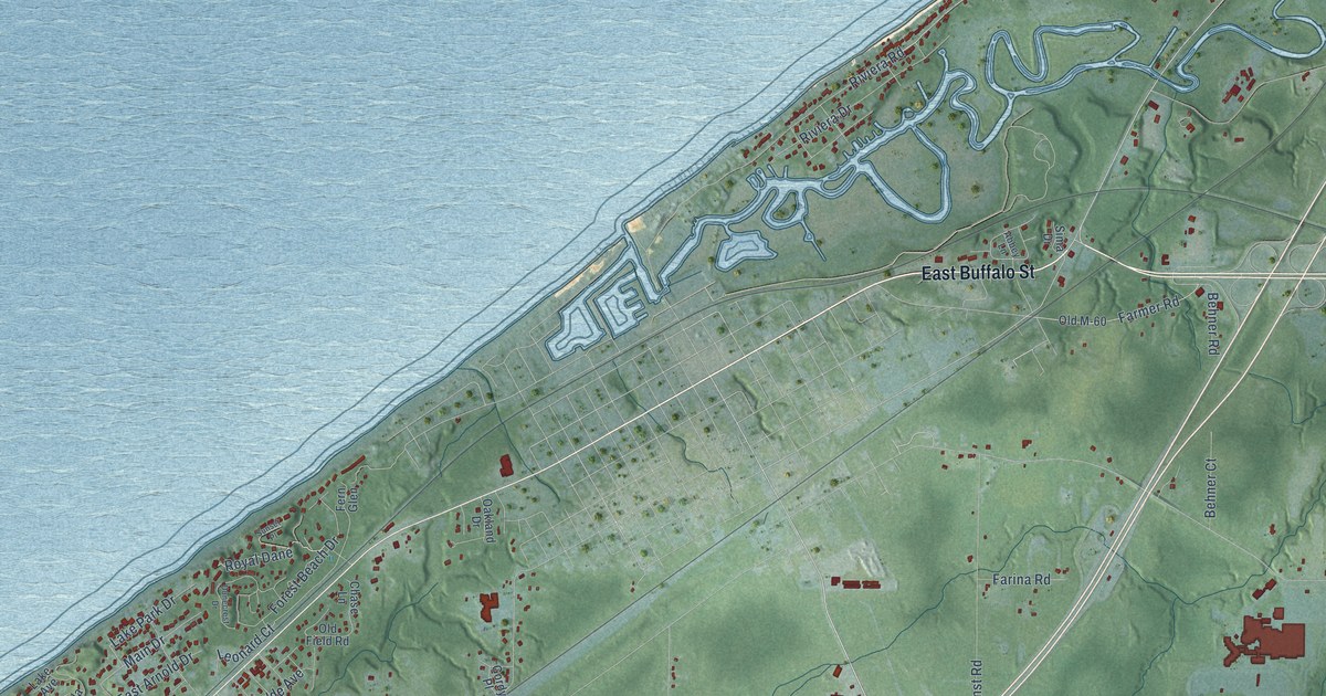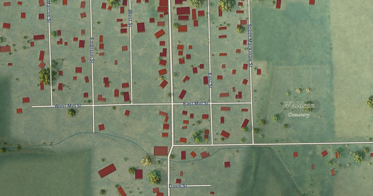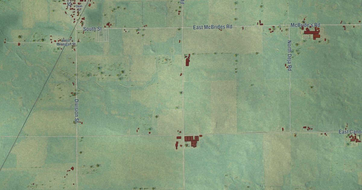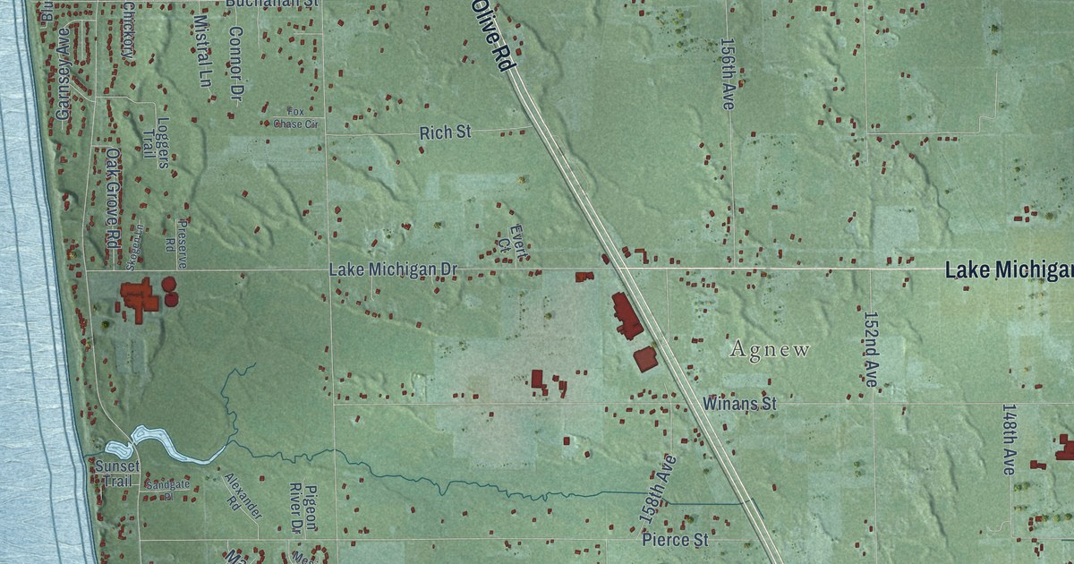
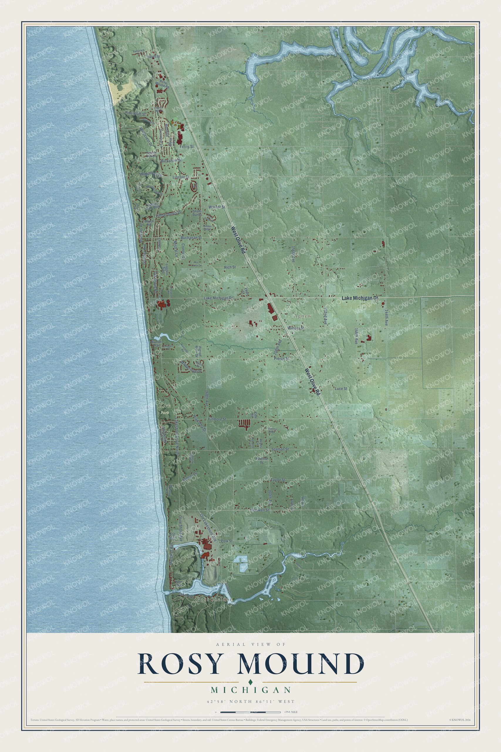
This beautifully detailed map of Rosy Mound, Michigan was created in 2026 using aerial imagery combined with modern topographical, census, street and landmark data. It’s a one-of-a-kind view of Rosy Mound that combines accurate data with a vintage aesthetic. The map shows every building in its true location, many of the roads carry their names, and the shaded topographic relief shows the shape of the land.
Explore an aerial view of Rosy Mound, Michigan
On the map you’ll find Port Sheldon, Agnew, Kirk Park, and Redbird, along with West Olive Road, Lake Michigan Drive, Croswell Street, Margaret Avenue, Polk Street, 168th Avenue, Buchanan Street, Fillmore Street, and more. If you look closely you can even find your house accurately drawn in its correct location. Zoom in on the preview to look for yours.
Did You Know?
From Internet Archive: "The year following he carried the first mail ever carried between Grand Haven and Grand Rapids, blazing the trail, which led through Rosy Mound, then straight to Grandville, thence to Grand Rapids."
Rosy Mound is a community in Ottawa County.
Take a closer look at the Rosy Mound map
Names on this map
These names are printed on this map.
Places: Port Sheldon, Agnew and Kirk Park.
Streets and roads: West Olive Road, Lake Michigan Drive, Croswell Street, Margaret Avenue, Polk Street, Redbird, Lakeshore Drive North, 168th Avenue, Buchanan Street, Fillmore Street, Hiawatha Drive, Winans Street.
More street names, A to Z
144th Avenue, 148th Avenue, 152nd Avenue, 156th Avenue, 158th Avenue, 160th Avenue, Alexander Road, Aliquot Drive, Alpha Court, Baldwin Street, Beach Road, Beech Hill Drive, Bleeker Street, Bluewater Road, Burkshire Drive, Chickory, Church Hill Drive, Cole Lane, Connor Drive, Crab Drive, Duneside Drive, Evert Court, Fern Avenue, Ferris Street, Fox Chase Circle, Fox Ridge, Garnsey Avenue, Greenleaf Lane, Hayes Street, Henry Hollow Lane, Jansma Road, Lake Avenue, Lake Shore Drive, Lincoln Street, Loggers Trail, Luce Street, Mapleridge Drive, Mesic Drive, Mistral Lane, Mountain Plat Drive, Oak Grove Road, Old Lakeshore Avenue, Olive Shore Avenue, Olive Trail, Pierce Street, Pigeon River Drive, Pine Bluff Street, Pine Dunes Court, Pineline Drive, Preserve Road, Ravens Edge, Red Pine Trail, Retreat Drive, Reyes Lane, Rich Street, Rosy Mound Road, Sandgate Place, Shady Dunes, Skogen Lane, Stanton Street, Sunset Hills Boulevard, Sunset Trail, Tamarack Lane, Taylor Street, Timberdunes Drive, Timber Ridge, Warner Street, Whispering Sands Drive, Wilderness Drive, Wilderness Trail, Windcrest Drive.
See it on a wall
The Rosy Mound map as a framed print. Swipe for more.


This beautifully detailed map of Rosy Mound makes an attractive addition to your office, library, or den, and it can even be used to teach children the geography and history of the area. It also makes a great gift for anyone who grew up in Rosy Mound or moved away. When you’re done exploring, click here to get your copy of the Rosy Mound map.