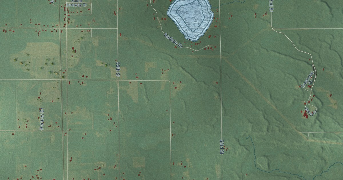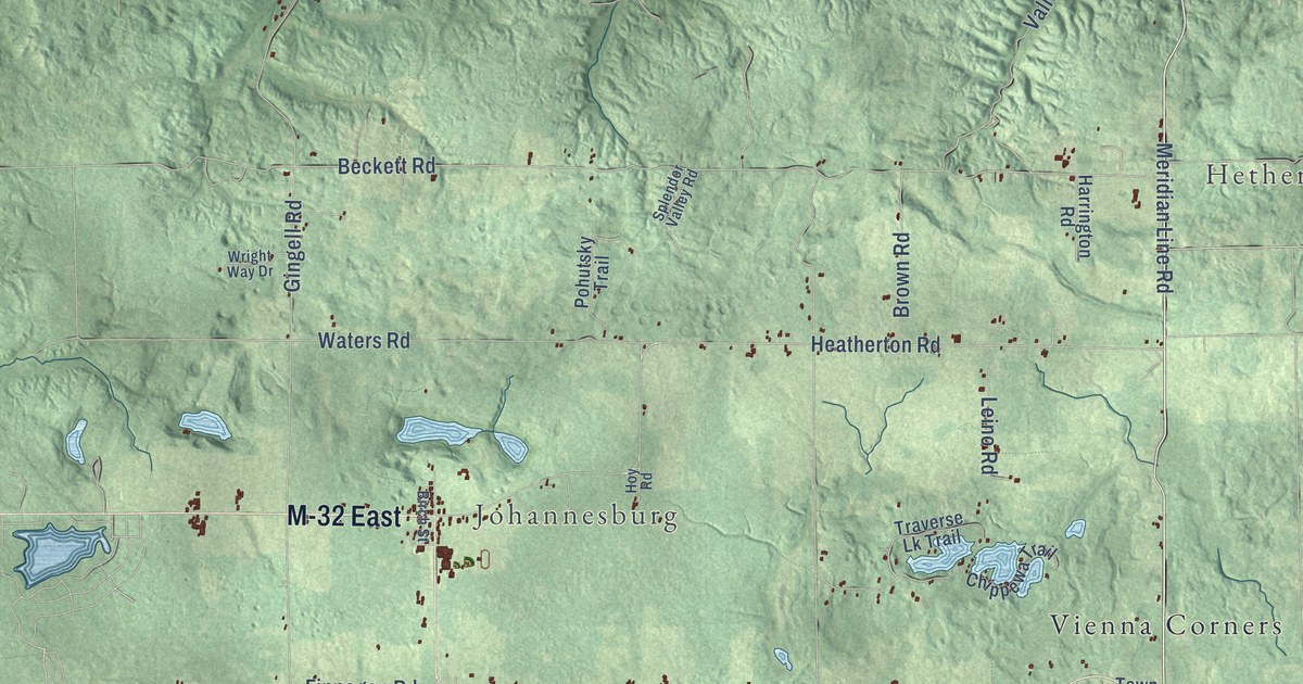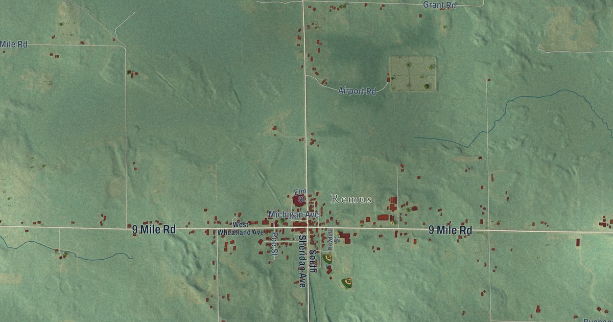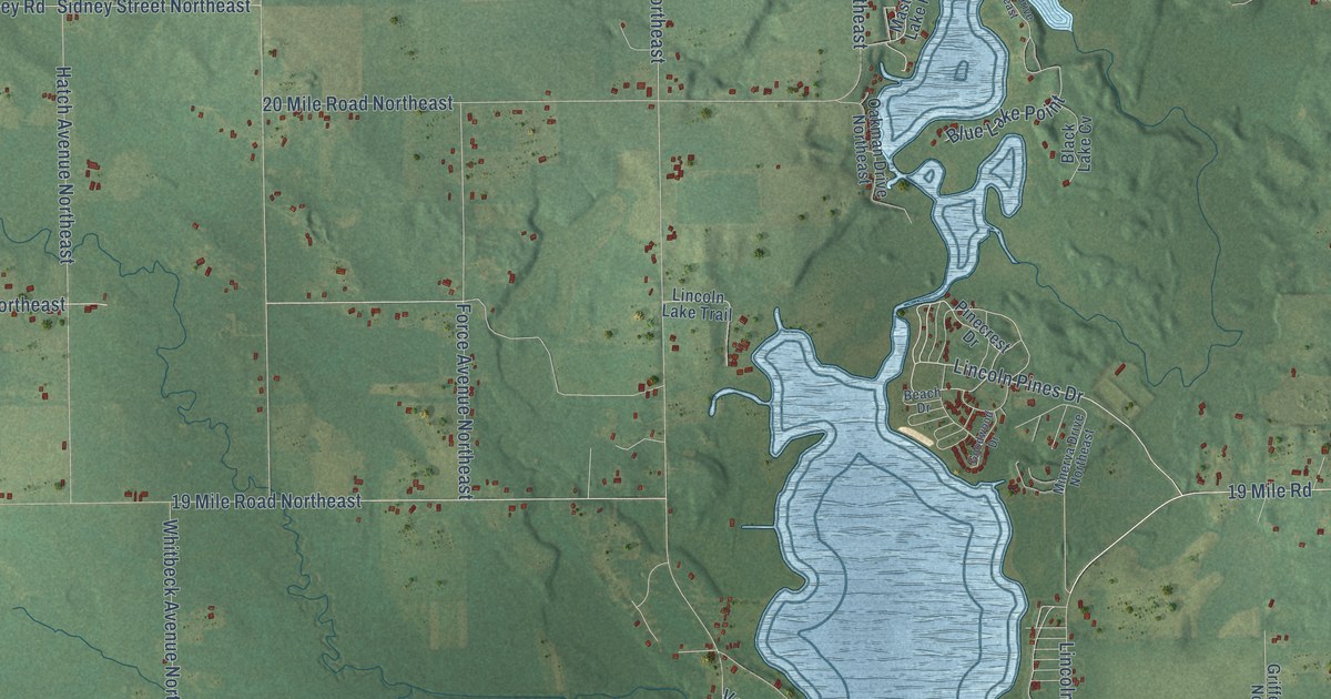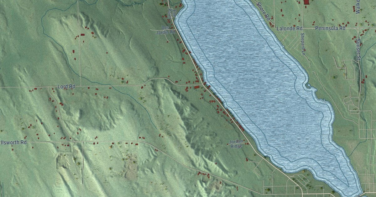
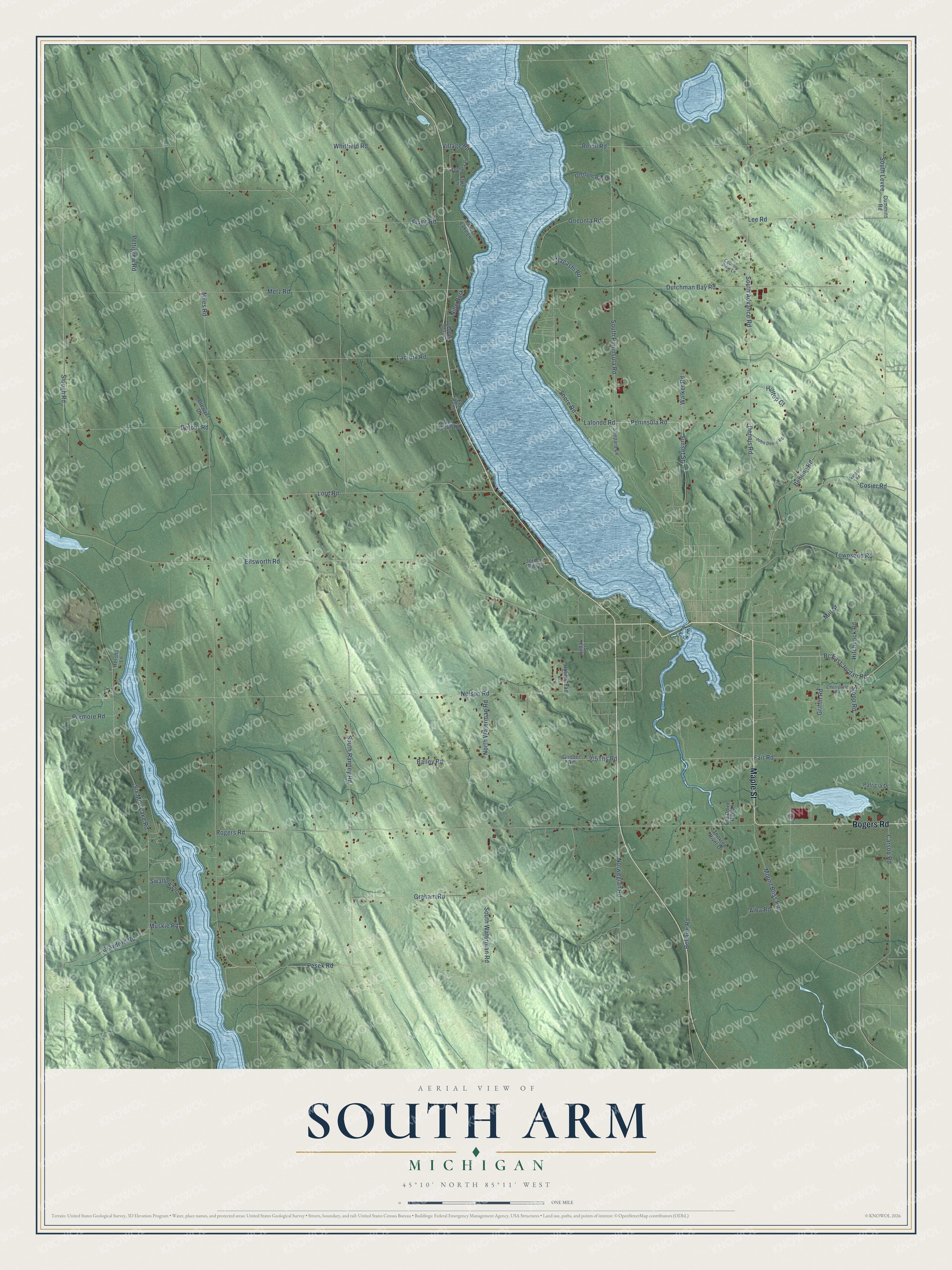
This beautifully detailed map of South Arm, Michigan was created in 2026 using aerial imagery combined with modern topographical, census, street and landmark data. It's a modern aerial view of South Arm in Charlevoix County, Michigan, that combines modern data with a vintage aesthetic. The roads feature printed names, and if you look closely you can find your exact house accurately shown in its correct location.
Explore an aerial view of South Arm, Michigan
On this map you'll find Maple Street, Rogers Road, Bc East Jordan Road, Peninsula Road, Sunset Street, South Advance Road, South Peninsula Road, Slough Road, Ellsworth Road, Griffin Road, Fair Road, South Levee, and more. Each red shape is a building, so zoom in on the preview and look for yours.
Every town has a first chapter, and South Arm is no exception. The History of Northern Michigan and Its People puts it this way: "South Arm, previous to the creation of Charlevoix county formed a part of Antrim, and was organized by the board of supervisors of the latter in March, 1868."
The Census Bureau counted 1,939 people here in 2020.
Take a closer look at the South Arm map
Names on this map
These names are printed on this map.
Streets and roads: Maple Street, Rogers Road, Bc East Jordan Road, Peninsula Road, Sunset Street, South Advance Road, South Peninsula Road, Slough Road, Ellsworth Road, Griffin Road, Fair Road, South Levee.
More street names, A to Z
Alba Road, Apple Lane, Bailey Road, Behling Road, Bellaire Road, Carson Road, Cedar Street, Cherryvale Road, Cosier Road, Country View Lane, Cove Lane, Crawford Road, Cummins Road, Dennis Road, Des Jardin Road, Detour Road, Drewyer Drive, Dutchman Bay Road, Elm Point, Flagg Road, Forest Lake Lane, Goebel Road, Graham Road, Hersha Lane, Hilltop Court, Hitchcock Road, Homestead Lane, John Deere Road, Jordan Ridge, Lacroix Road, Lalonde Road, Lee Road, Lord Road, Metz Road, Miles Road, Millpond Road, Mill Street, Mount Bliss Road, Muskie Road, Nagashi Road, Nelson Road, Nine Bark, North Waterman Road, Norwegian Road, Old Point Ridge, Olstrom Bay Lane, Oneonta Road, Patricia Drive, Pesek Road, Pettigrew Road, Premore Road, Reich Road, Sandy Shores, Seasonal Road, Shepard Lane, Shore Road, Six Mile Lake Road, Sloop Road, South Ranney Road, South Waterman Road, Swallow Lane, Thorsen River Drive, Townsend Road, Village Road, Walker Road, Whitfield Road.
Created by KNOWOL in 2026. The buildings are small red shapes, the roads carry their printed names, and shaded relief shows the shape of the land. The title panel reads "AERIAL VIEW OF SOUTH ARM, MICHIGAN" with 45°10' NORTH 85°11' WEST.
Hang it in the hallway, the office or the cabin, or give it to someone who left South Arm and still calls it home. Open the preview and look for a street you know. See sizes and frames for the South Arm map.