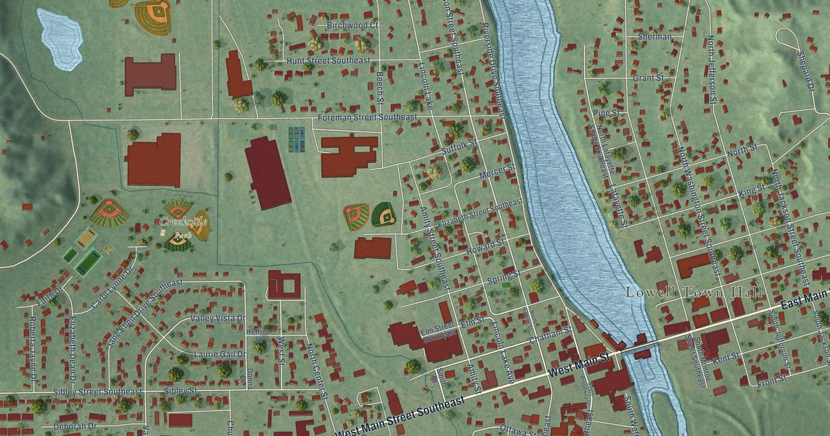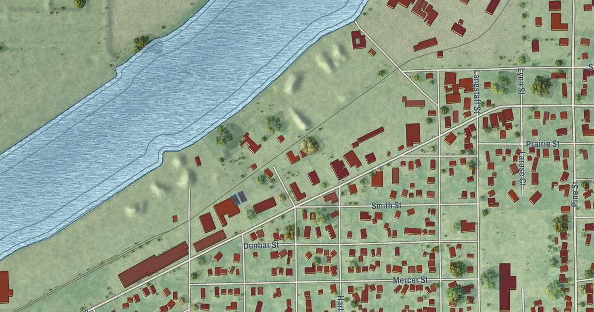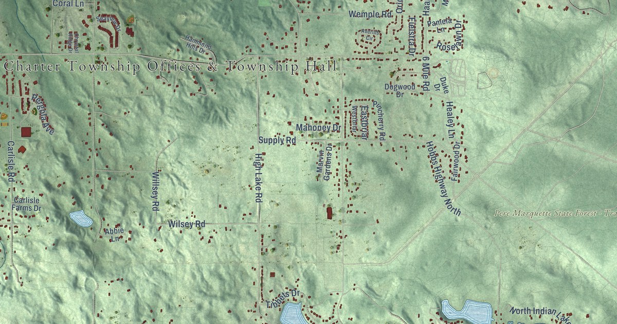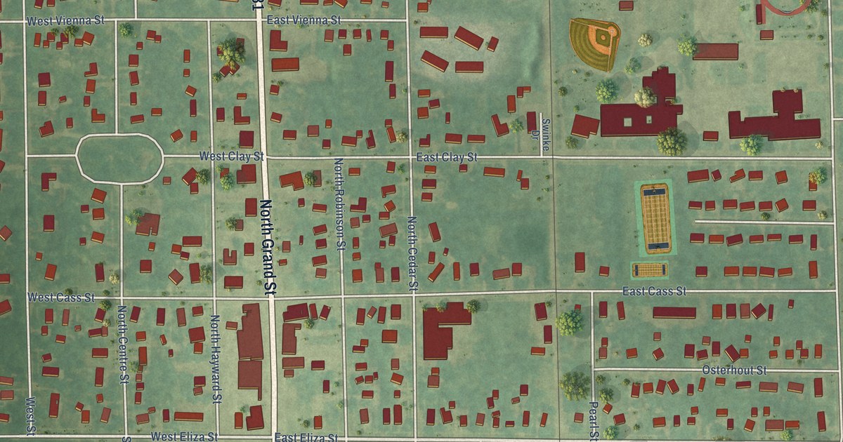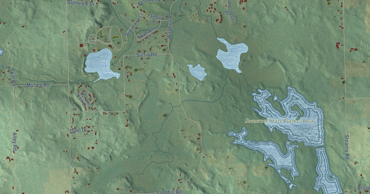
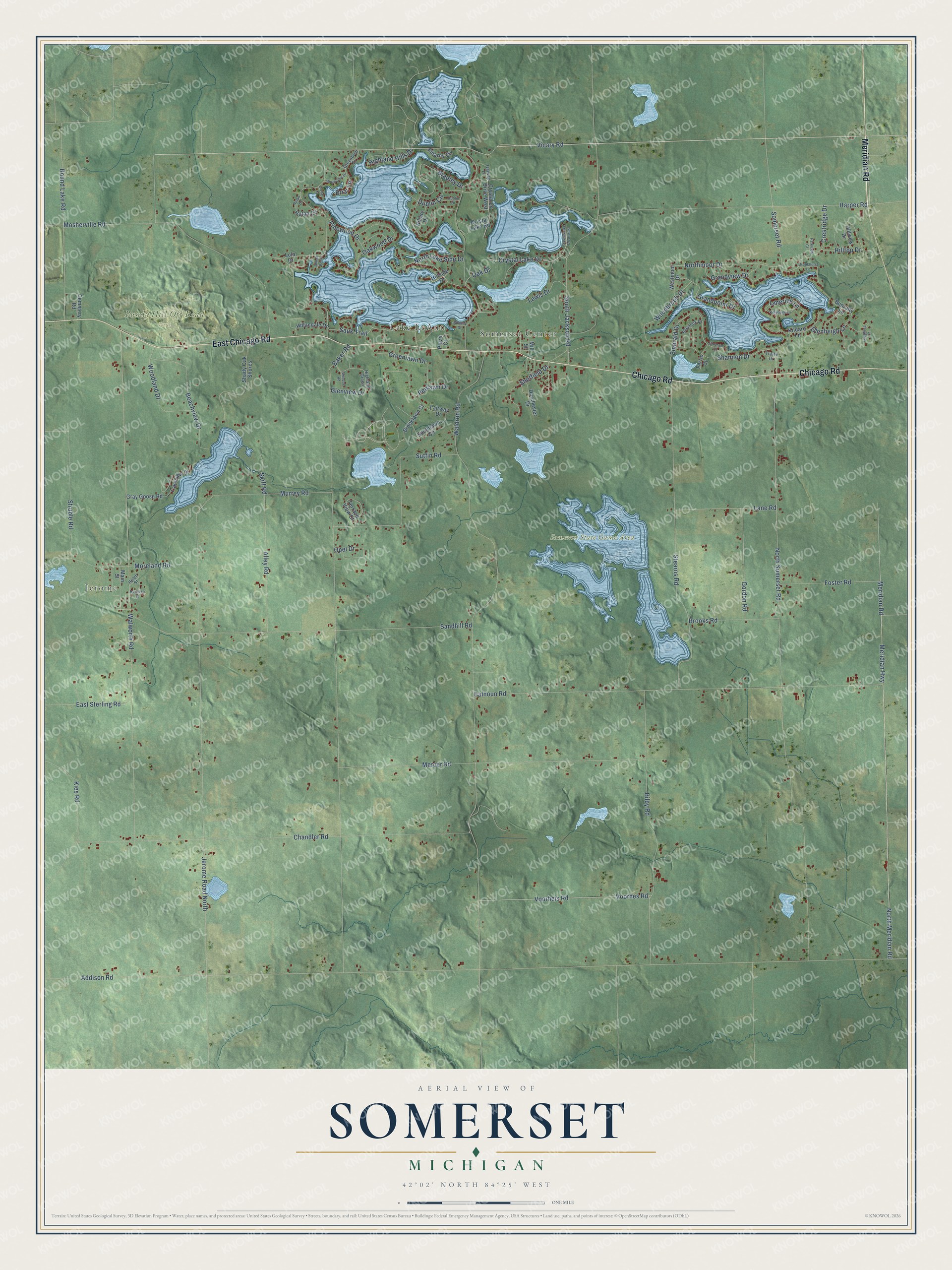
This beautifully detailed map of Somerset, Michigan was created in 2026 using aerial imagery combined with modern topographical, census, street and landmark data. It's a modern aerial view of Somerset in Hillsdale County, Michigan, that combines modern data with a vintage aesthetic. The roads feature printed names, and if you look closely you can find your exact house accurately shown in its correct location.
Explore an aerial view of Somerset, Michigan
On this map you'll find Jerome, Lake LeAnn, Somerset Center, Bundy Hill Off Road Park, Somerset State Game Area, Meridian Road, Chicago Road, East Chicago Road, Vicary Road, Crystal Lake Drive, Somerset Road, Northmoor Drive, and more. Each red shape is a building, so zoom in on the preview and look for yours.
Somerset has a story worth telling. The History of Hillsdale County puts it this way: "The township of Somerset was formed from the north part of Wheatland by an act passed March 20, 1837. Previous to that time (about 1834) an office, called Wheatland, had been established at Gambleville, in what is now Somerset, and Thomas Gamble was appointed first postmaster."
The Census Bureau counted 4,588 people here in 2020.
Take a closer look at the Somerset map
Names on this map
These names are printed on this map.
Places: Jerome, Lake LeAnn, Somerset Center, Bundy Hill Off Road Park and Somerset State Game Area.
Streets and roads: Meridian Road, Chicago Road, East Chicago Road, Vicary Road, Crystal Lake Drive, Somerset Road, Northmoor Drive, Grandpoint Drive, North Meridian Road, Emerald Drive, Sauk Trail, Voorhes Road.
More street names, A to Z
Addison Road, Alley Road, Almon Point, Baker Road, Beachview Drive, Bilby Road, Bradley Drive, Briar Lane, Brookhurst Lane, Brooklawn Court, Brooks Road, Bunday Drive, Bunratty Lane, Calhoun Road, Cedar Court, Cemetery Road, Chandler Road, Crestridge Drive, Crystal Lake Drive East, Crystal Lake Road, Crystal Lk Drive West, Dorchester Drive, Dublin Circle, Dublin Drive, East Sterling Road, Emerald Court, Fairway Drive, Ferris Court, Foster Road, Galway Drive, Glenbeigh Lane, Glencoe Road, Glenview Drive, Gordon Road, Grandview Drive, Gray Goose Road, Greenbriar Drive, Greenlawn Drive, Harper Road, Harrison Street, Helen Street, Highland Green, Highland Hills Drive, Hillandale Drive, Hillary Drive, Hillside Drive, Hilltop Drive, Hillview Drive, Jerome Road North, Kies Road, Kildare Lane, Killarny Circle, Killybegs Lane, Lakeview Drive, Lane Road, Lewis Drive, Limerick Lane, Lola Drive, Loughrea Lane, Main Street, Mercer Road, Meridian Highway, Mill Street, Moreland Road, Mosherville Road, Murrey Road, North Lake Side Drive, North Somerset Road, Northview Drive, Oak Drive, Oakwood Drive, Opel Drive, Parkview Court, Penlawn Drive, Pinewood Drive, Plaza Court, Round Lake Road, Rutan Circle, Rutan Drive, Sandhill Road, Shady Oak Shores, Shannon Drive, Sheffield Drive, Sherlock Drive, Skiff Road, South Jackson Road, Southlawn Circle, Stearns Road, Struble Road, Sutfin Road, Terrace View Court, Tralee Drive, Voorheis Road, Waldron Road, Walworth Road, Westmoor Drive, Woodbrook Drive, Woodland Drive.
See it on a wall
The Somerset map as a framed print. Swipe for more.


Created by KNOWOL in 2026. The buildings are small red shapes, the roads carry their printed names, and shaded relief shows the shape of the land. The title panel reads "AERIAL VIEW OF SOMERSET, MICHIGAN" with 42°02' NORTH 84°25' WEST.
It looks right in a kitchen, an office or a den, and it's a gift for anyone who grew up in Somerset or moved away. Open the preview and find your street. See sizes and frames for the Somerset map.