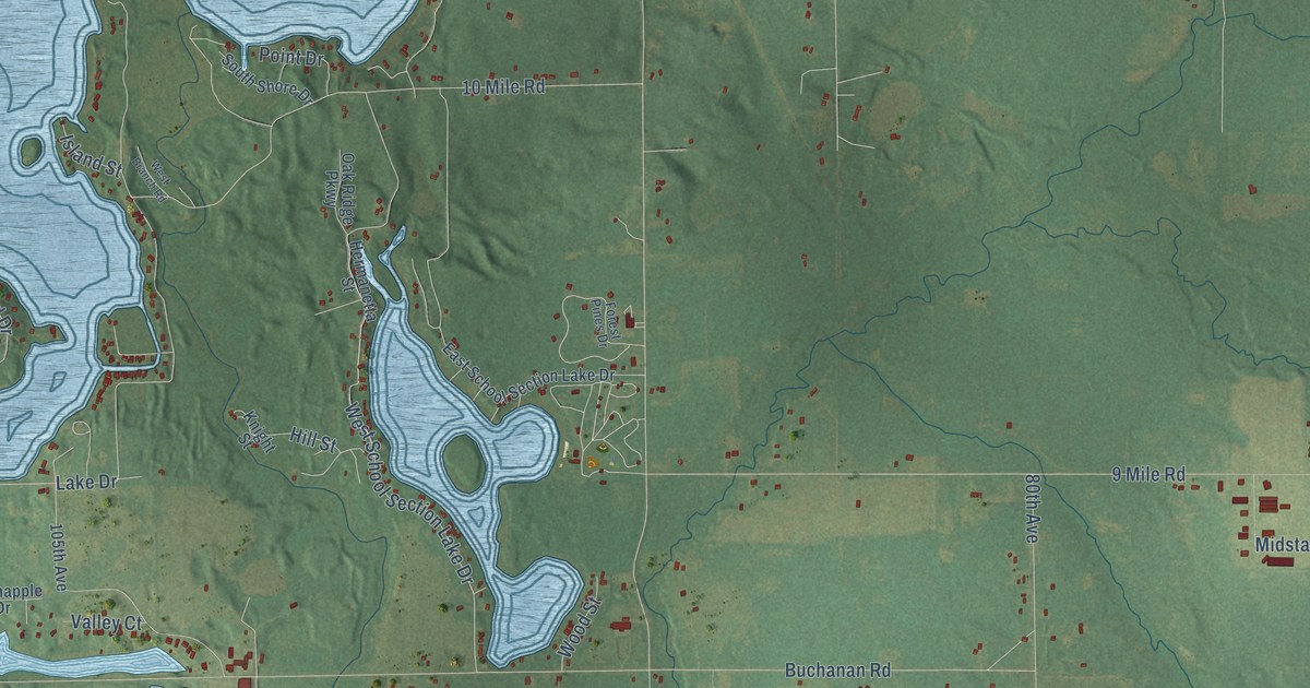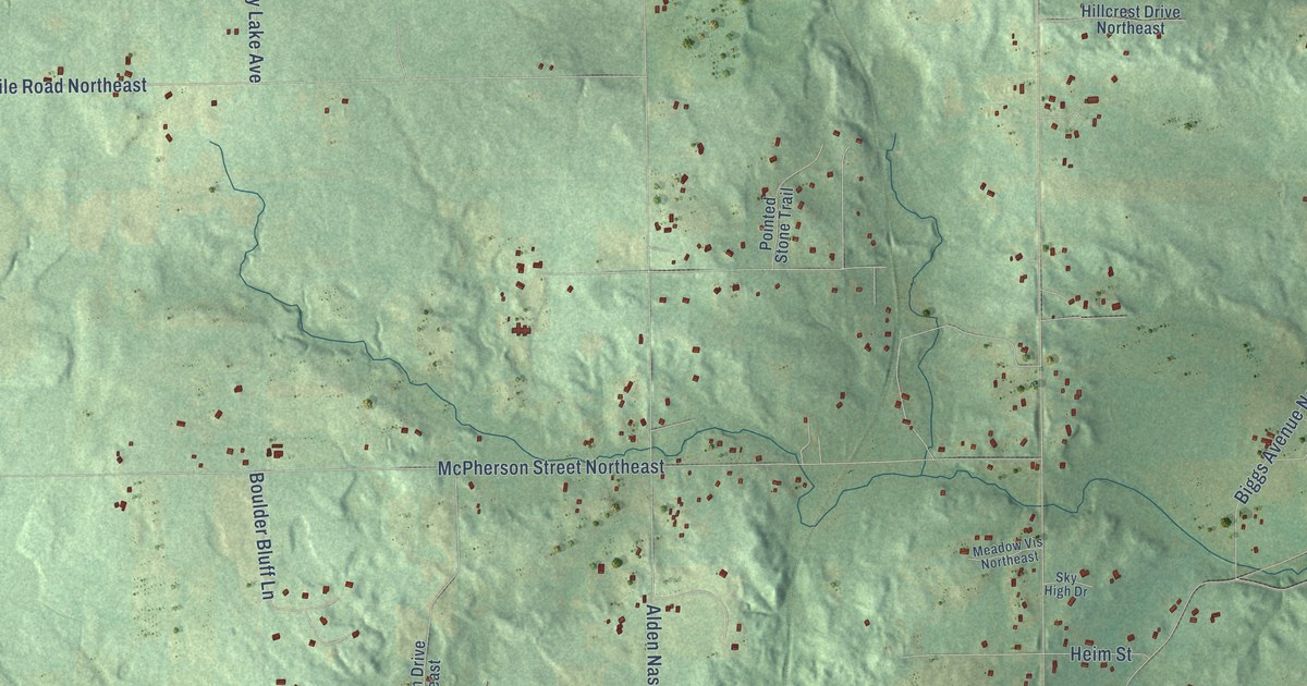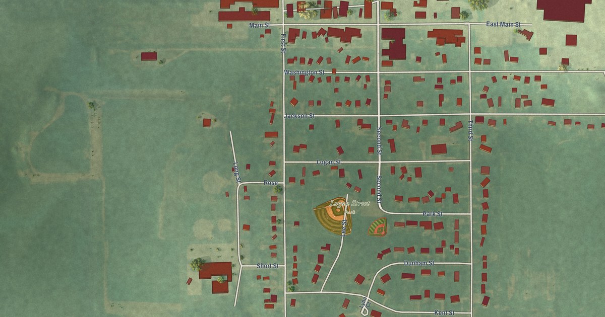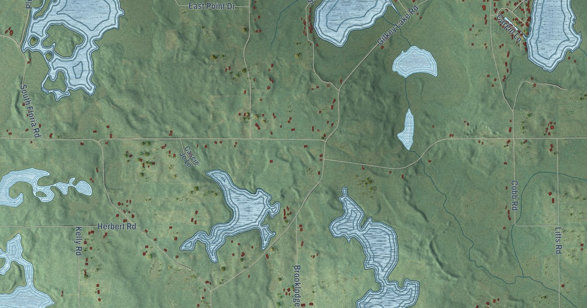
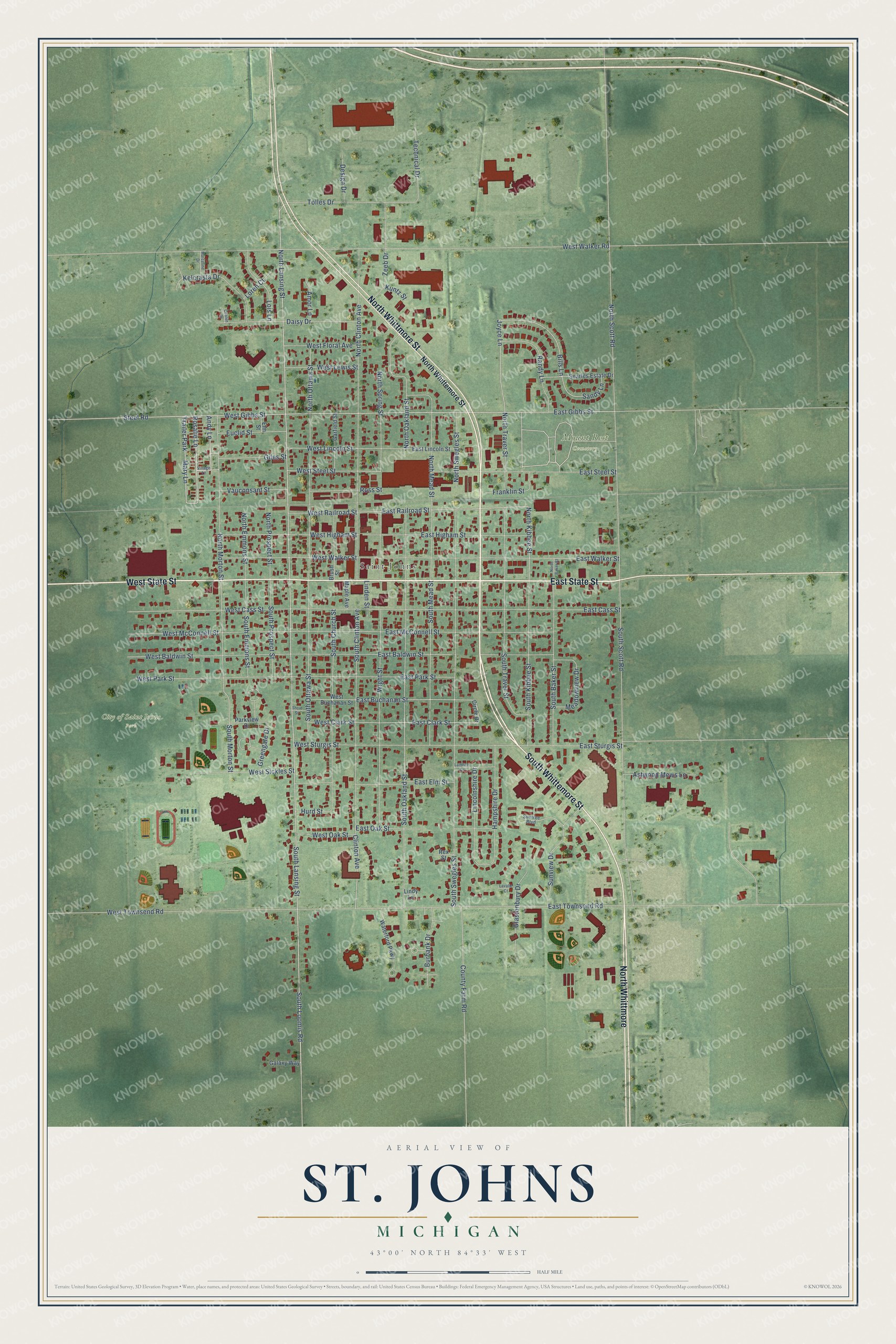
This beautifully detailed map of St. Johns, Michigan was created in 2026 using aerial imagery combined with modern topographical, census, street and landmark data. It's a modern aerial view of St. Johns in Clinton County, Michigan, that combines modern data with a vintage aesthetic. The roads feature printed names, and if you look closely you can find your exact house accurately shown in its correct location.
Explore an aerial view of St. Johns, Michigan
On this map you'll find Saint Johns, City of Saint Johns Park, Mount Rest Cemetery, South Whittemore Street, North Whittmore Street, East State Street, West State Street, North Whittmore, Trailer Park, Rosalie Lane, North Lansing Street, Mary Lane, and more. Each red shape is a building, so zoom in on the preview and look for yours.
Here is a piece of St. Johns history, in the words of the record. The History of Shiawassee and Clinton Counties puts it this way: "During 1854, Mr. Gardner built at St. Johns the first tavern put up at the village, although he was himself at no time the landlord of it. In 1857 a post-office called Gardner's Corners was established at Gardner's Hotel, and Mr. Gardner given charge of it."
St. Johns is a city in Clinton County. The Census Bureau counted 7,698 people here in 2020.
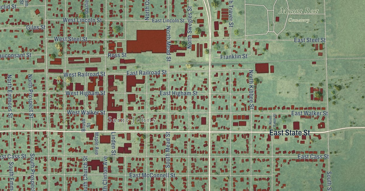
Take a closer look at the St. Johns map
Names on this map
These names are printed on this map.
Places: Saint Johns, City of Saint Johns Park, Mount Rest Cemetery and Trailer Park.
Streets and roads: South Whittemore Street, North Whittmore Street, East State Street, West State Street, North Whittmore, Rosalie Lane, North Lansing Street, Mary Lane, South Lansing Street, Clinton Avenue, West Gibbs Street, East Gibbs Street.
More street names, A to Z
Amor Lane, Andy Lane, Astwood Mews Lane, Bills Lane, Brush Street, Burbank Drive, Chalen Drive, Circle Drive, County Farm Road, Daisy Drive, Design Drive, East Baldwin Street, East Buchanan Street, East Cass Street, East Clark Street, East Elm Street, East Higham Street, East Lincoln Street, East McConnell Street, East Oak Street, East Park Street, East Railroad Street, East Steel Street, East Sturgis Street, East Townsend Road, East Walker Street, Elm Street, Euclid Street, Franklin Street, Galaxy Way, Garfield Street, Giles Street, Glastonbury Drive, Greengate Drive, Hampshire Drive, Hurd Street, Joyce Lane, Kelcrasta Drive, Kuntz Street, Lambert Drive, Lavalle Court, Lincolnshire Drive, Linden Street, Lindy Lane, Lois Lane, Loren Court, Maple Avenue, Marceline Drive, Meadowview Drive, North Baker Street, North Clinton Avenue, North Emmons Street, North Kibbee Street, North Mead Street, North Morton Street, North Oakland Street, North Ottawa Street, North Prospect Street, North Scott Road, North Spring Street, North Swegles Street, North Traver Street, North Whittemore Street, Parkview Drive, Randy Lane, Rex Street, Ross Street, Sandy Lane, Searles Estate Drive, Short Street, South Baker Street, South Church Street, South Clinton Avenue, South Emmons Street, South Kibbee Street, South Loomis Road, South Mead Street, South Morton Street, South Oakland Street, South Ottawa Street, South Prospect Street, South Scott Road, South Swegles Street, South Traver Street, Steel Road, Suntree Boulevard, Sunview Drive, Technical Drive, Tolles Drive, Vauconsant Street, Village Lane, Waterford Parkway, West Baldwin Street, West Buchanan Street, West Cass Street, West Clark Street, West Floral Avenue, West Higham Street, West Lewis Street, West Lincoln Street, West McConnell Street, West Oak Street, West Park Street, West Railroad Street, West Sickles Street, West Steel Street, West Sturgis Street, West Townsend Road, West Walker Road, West Walker Street, Wight Street, Zeeb Drive.
Created by KNOWOL in 2026. The buildings are small red shapes, the roads carry their printed names, and shaded relief shows the shape of the land. The title panel reads "AERIAL VIEW OF ST. JOHNS, MICHIGAN" with 43°00' NORTH 84°33' WEST.
It suits a den, a classroom or a front hall, and it makes a gift for anyone with St. Johns roots. Open the preview and find the block you know. See sizes and frames for the St. Johns map.