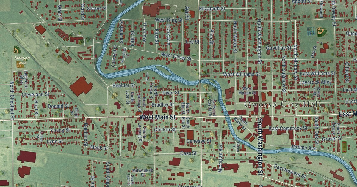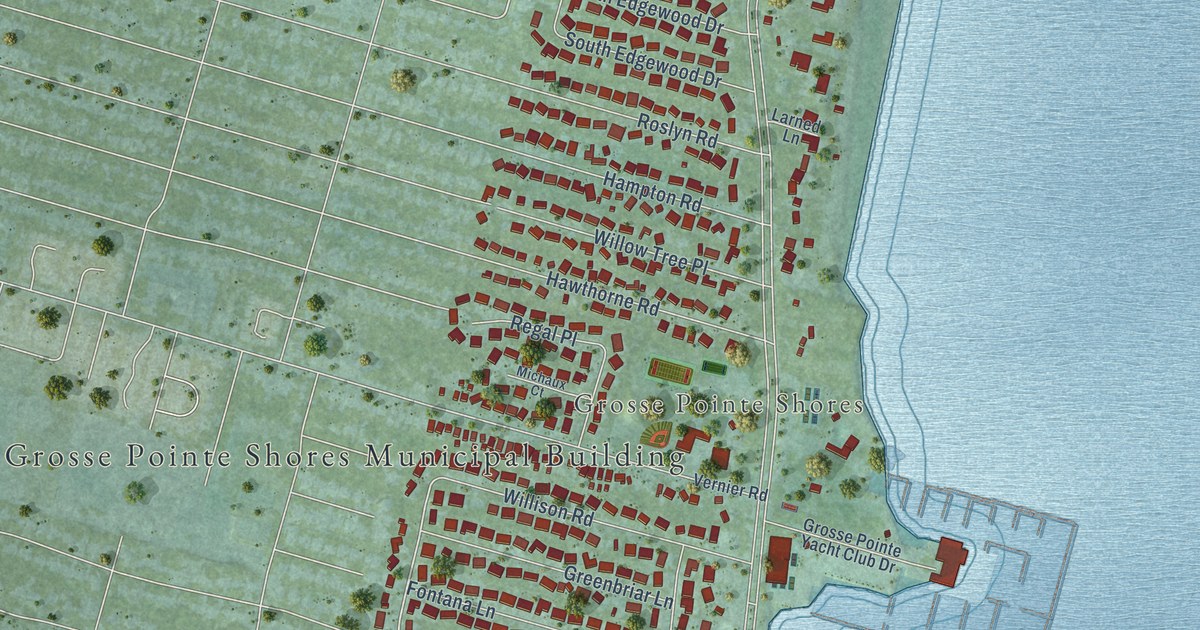
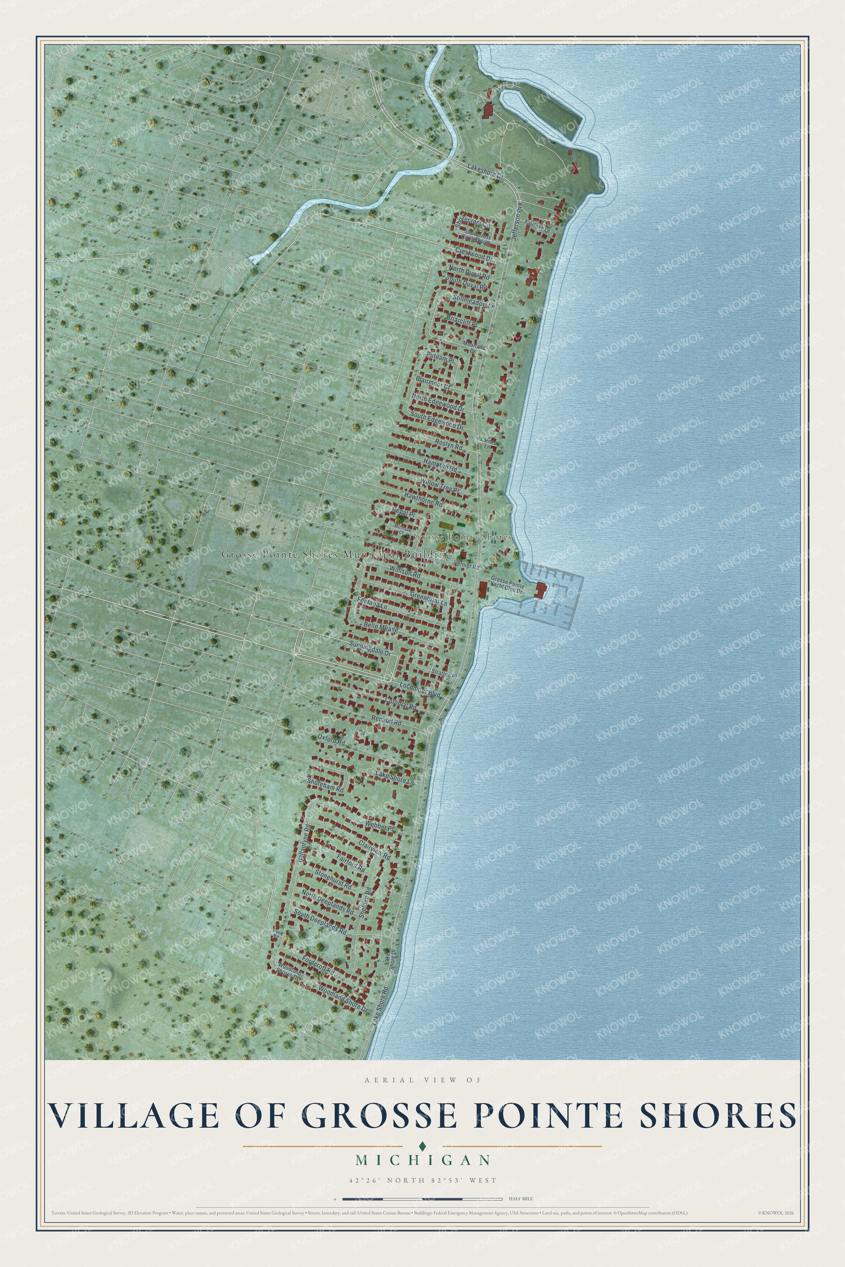
This beautifully detailed map of Village of Grosse Pointe Shores, Michigan was created in 2026 using aerial imagery combined with modern topographical, census, street and landmark data. It's a modern aerial view of Village of Grosse Pointe Shores in Wayne County, Michigan, that combines modern data with a vintage aesthetic. The roads feature printed names, and if you look closely you can find your exact house accurately shown in its correct location.
Explore an aerial view of Village of Grosse Pointe Shores, Michigan
On this map you'll find Grosse Pointe Shores Municipal Building, Grosse Pointe Shores, Lochmoor Boulevard, Sunningdale Drive, Lakeshore Drive, Ballantyne Road, Jefferson Avenue, South Duval Road, Belle Meade, Lake Shore Road, Shelden Road, Woodland Shore Drive, and more. Each red shape is a building, so zoom in on the preview and look for yours.
Village of Grosse Pointe Shores has a story worth telling. The record at arcgis.com puts it this way: "In the 1960s, fire doors were expanded to accommodate new fire trucks and office renovations modernized the building’s interior."
Village of Grosse Pointe Shores is a city in Wayne County. The Census Bureau counted 2,647 people here in 2020.
Take a closer look at the Village of Grosse Pointe Shores map
Names on this map
These names are printed on this map.
Places: Grosse Pointe Shores Municipal Building and Grosse Pointe Shores.
Streets and roads: Lochmoor Boulevard, Sunningdale Drive, Lakeshore Drive, Ballantyne Road, Jefferson Avenue, South Duval Road, Belle Meade, Lake Shore Road, Shelden Road, Woodland Shore Drive, Fontana Lane, Colonial Road.
More street names, A to Z
Blairmoor Court, Briarcliff Place, Clairview Road, Cook Road, Crestwood Drive, Fairford Road, Fairlake Lane, Fordcroft Road, Greenbriar Lane, Grosse Pointe Yacht Club Drive, Hampton Road, Hawthorne Road, Lake Shore Drive, Lake Shore Lane, Larned Lane, Michaux Court, Moorland Drive, North Deeplands Road, North Duval Road, North Edgewood Drive, Oxford Road, Putnam Place, Regal Place, Renaud Road, Roslyn Road, Shorecrest Circle, Shorecrest Circle South, Shoreham Road, South Deeplands Road, South Edgewood Drive, Stillmeadow Lane, Stonehurst Road, Stratton Place, Vernier Road, Webber Place, Willison Road, Willow Tree Place, Woodland Shores Drive.
Created by KNOWOL in 2026. The buildings are small red shapes, the roads carry their printed names, and shaded relief shows the shape of the land. The title panel reads "AERIAL VIEW OF VILLAGE OF GROSSE POINTE SHORES, MICHIGAN" with 42°26' NORTH 82°53' WEST.
It looks right in a kitchen, an office or a den, and it's a gift for anyone who grew up in Village of Grosse Pointe Shores or moved away. Open the preview and find your street. See sizes and frames for the Village of Grosse Pointe Shores map.