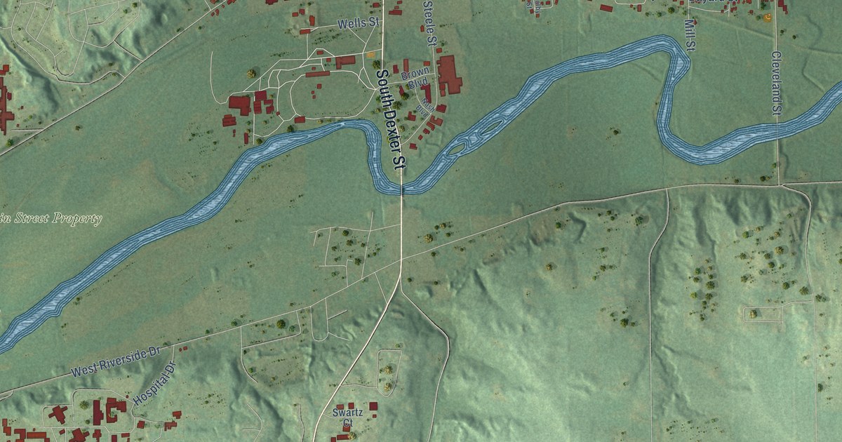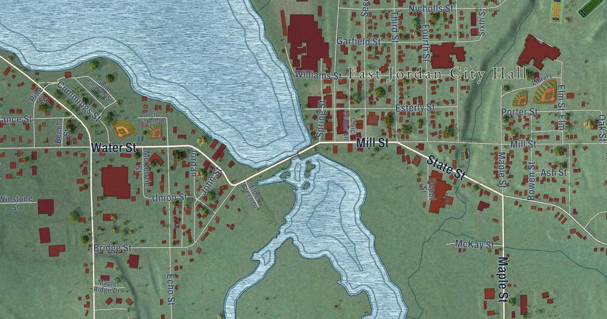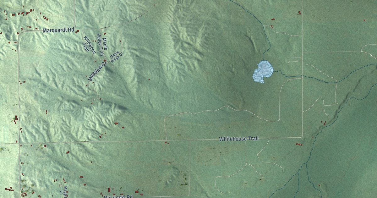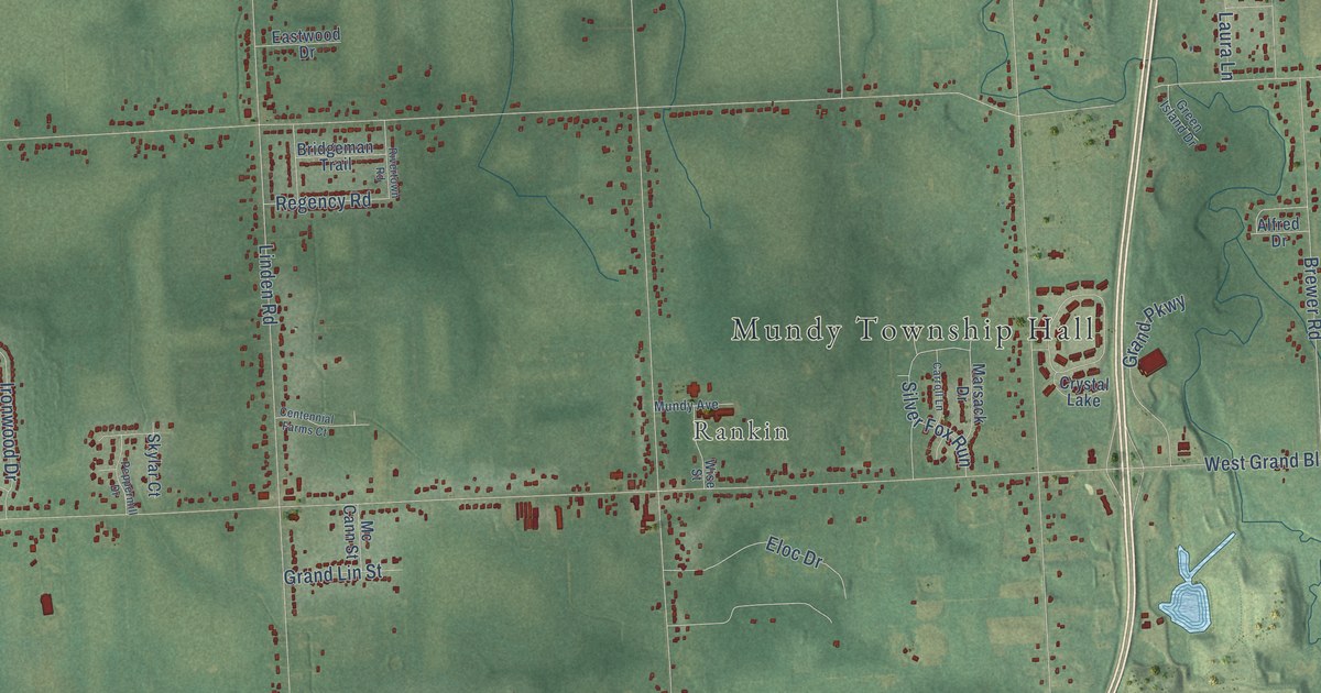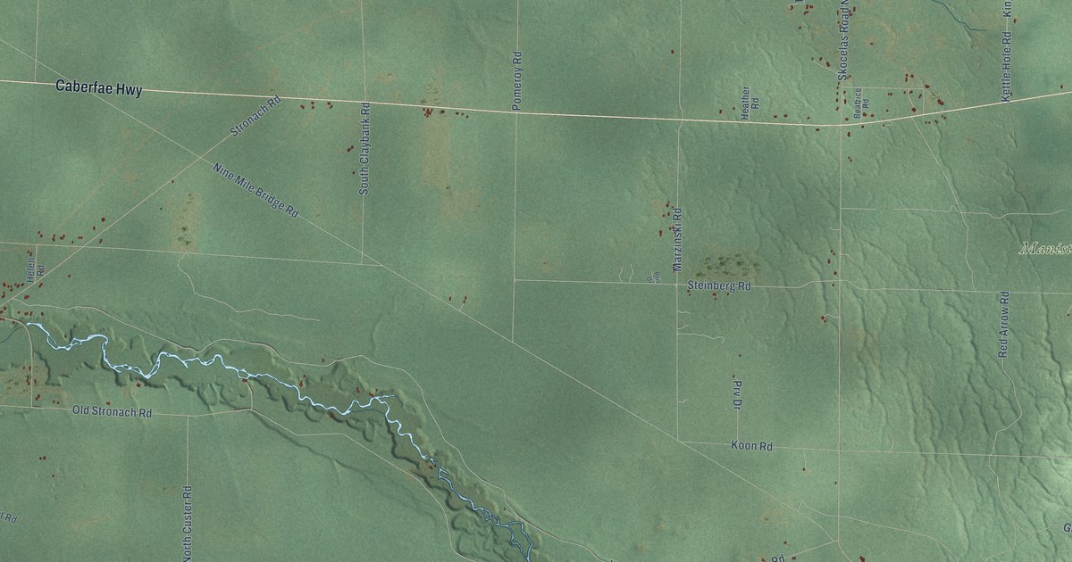
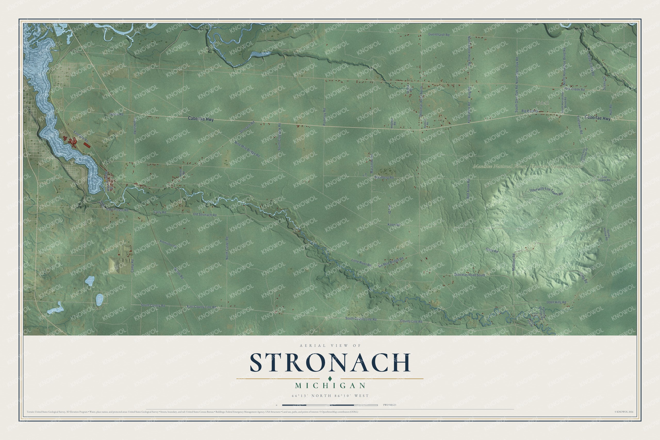
This beautifully detailed map of Stronach, Michigan was created in 2026 using aerial imagery combined with modern topographical, census, street and landmark data. It's a modern aerial view of Stronach in Manistee County, Michigan, that combines modern data with a vintage aesthetic. The roads feature printed names, and if you look closely you can find your exact house accurately shown in its correct location.
Explore an aerial view of Stronach, Michigan
On this map you'll find Udell, Manistee National Forest – Manistee Ranger District, Caberfae Highway, East County Line Road, South County Line Road, County Line Road, South County Road, Red Arrow Road, Camp Road, Skocelas Road South, Little River Road, Marsh Road, and more. Each red shape is a building, so zoom in on the preview and look for yours.
Stronach has a story worth telling. The History of Manistee County puts it this way: "The town of Stronach is one of the three original towns into which the county was divided at the time of its organization in 1856."
The Census Bureau counted 834 people here in 2020.
Take a closer look at the Stronach map
Names on this map
These names are printed on this map.
Places: Udell and Manistee National Forest - Manistee Ranger District.
Streets and roads: Caberfae Highway, East County Line Road, South County Line Road, County Line Road, South County Road, Red Arrow Road, Camp Road, Skocelas Road South, Little River Road, Marsh Road, Nine Mile Bridge Road, Steinberg Road.
More street names, A to Z
Beatrice Road, Big Buck Drive, Carty Road, Cedar Creek Road, Eastlake Road, East Preuss Road, Firetower Road, Fire Tower Road, Franklin Road, Good Road, Guenthardt Road, Harris Road, Heather Road, Helen Road, Hever Hill Road, Honda Hollow Road, Huff Road, Indian Trail Drive, Kettle Hole Road, King Road, Koon Road, Kremisfort Road, Long Road, Madison Road, Main Street, Marzinski Road, North Custer Road, North Glen Oak Road, North Horseshoe Bend Road, North Kettle Hole Road, Old Stronach Road, Pine Creek Road, Pomeroy Road, Pomeroy Springs Road, Priv Drive, Prv Drive, Scenic Drive, Six Mile Bridge Road, Skocelas Road North, South Claybank Road, South Glen Oak Road, South Horseshoe Bend Road, Stronach Road, Terpak Road, Udelle Hills Fire Tower Road, Udell Hills Fire Tower Road, Udell Hills Road, Water Street, White Pine Road.
Created by KNOWOL in 2026. The buildings are small red shapes, the roads carry their printed names, and shaded relief shows the shape of the land. The title panel reads "AERIAL VIEW OF STRONACH, MICHIGAN" with 44°13' NORTH 86°10' WEST.
It looks right in a kitchen, an office or a den, and it's a gift for anyone who grew up in Stronach or moved away. Open the preview and find your street. See sizes and frames for the Stronach map.