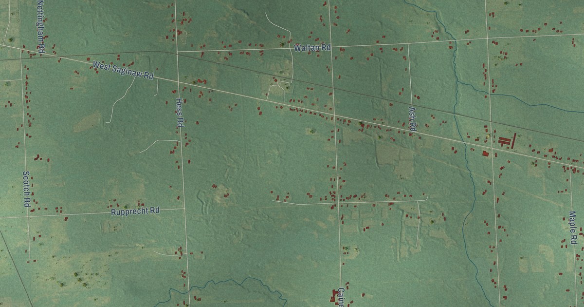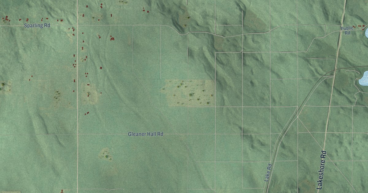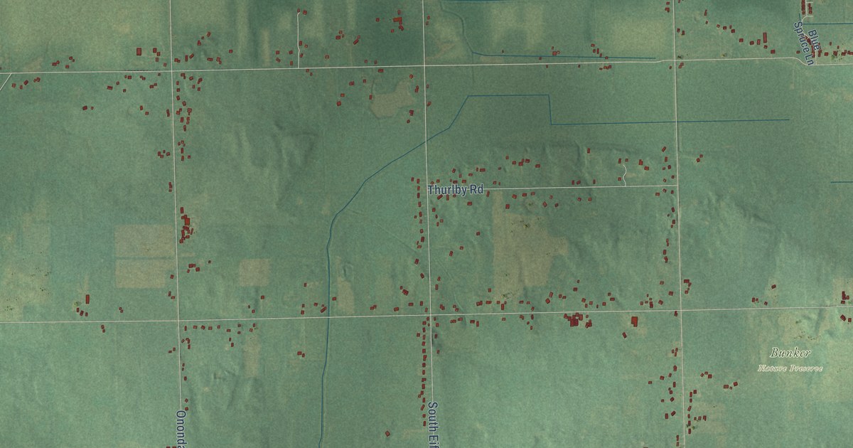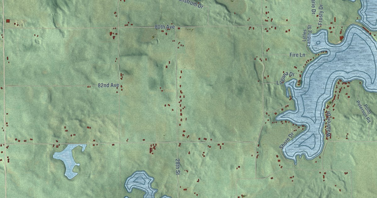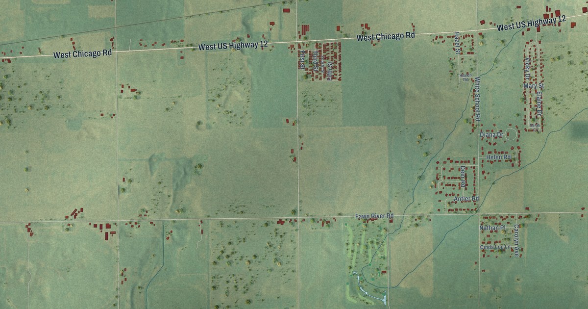
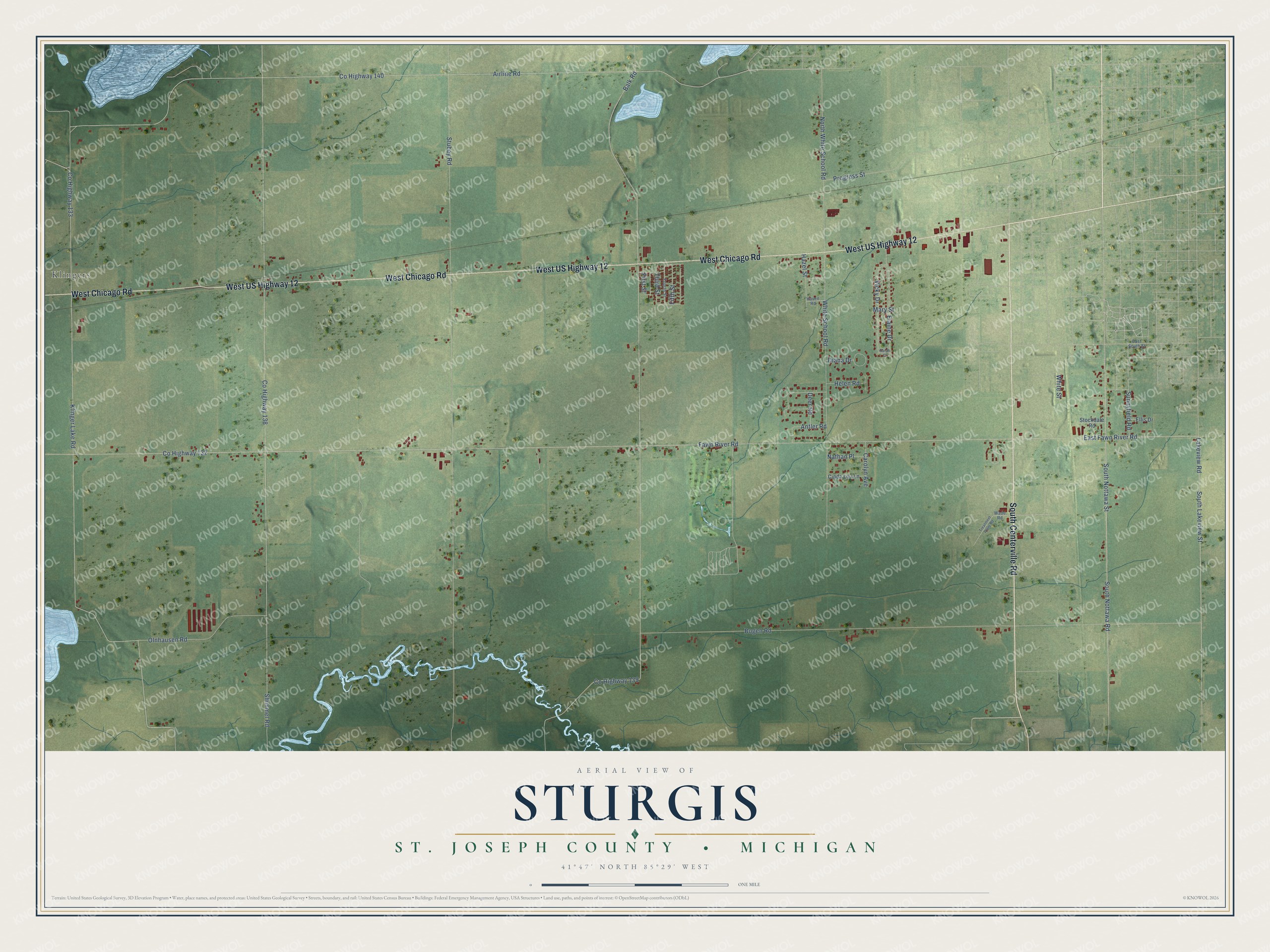
This beautifully detailed map of Sturgis, Michigan was created in 2026 using aerial imagery combined with modern topographical, census, street and landmark data. It's a modern aerial view of Sturgis in St. Joseph County, Michigan, that combines modern data with a vintage aesthetic. The roads feature printed names, and if you look closely you can find your exact house accurately shown in its correct location.
Explore an aerial view of Sturgis, Michigan
On this map you'll find Klingers, South Centerville Road, West Chicago Road, West US Highway 12, South Nottawa Street, South Nottawa Road, Co Highway 140, North White School Road, Lakeview Road, South Lakeview Street, Co Highway 133, Klinger Lake Road, and more. Each red shape is a building, so zoom in on the preview and look for yours.
Sturgis has a story worth telling. The History of St. Joseph County puts it this way: "The first entry of public lands in St. Joseph county was made within the present limits of the township of Sturgis by Ezekiel Metcalf, of Cattaraugus county, New York, June 14, 1828, and was the tract known as the east half of the northeast quarter of section one, township eight south, range ten west."
The Census Bureau counted 2,042 people here in 2020.
Take a closer look at the Sturgis map
Names on this map
These names are printed on this map.
Places: Klingers.
Streets and roads: South Centerville Road, West Chicago Road, West US Highway 12, South Nottawa Street, South Nottawa Road, County Highway 140, North White School Road, Lakeview Road, South Lakeview Street, County Highway 133, Klinger Lake Road, County Highway 132.
More street names, A to Z
Airline Road, Antler Road, Balk Road, Bogen Road, Carolyn Avenue, Cinda Lou Lane, County Highway 138, County Highway 139, Deer Road, Diana Drive, East Fawn River Road, East South Street, Elaine Drive, Ellis Drive, Fawn River Road, Fifth Street, First Street, Fourth Street, Haven Road, Hazel Street, Helen Road, Mary Street, Nathan Place, Olnhausen Road, Progress Street, Sarah Court, Shimmel Road, Stockdale Road, Stubey Road, Sunnyfield Road, Third Street, Treatment Plant Road, Vicky Drive, Wade Road, White School Road, White Street.
Created by KNOWOL in 2026. The buildings are small red shapes, the roads carry their printed names, and shaded relief shows the shape of the land. The title panel reads "AERIAL VIEW OF STURGIS, ST. JOSEPH COUNTY • MICHIGAN" with 41°47' NORTH 85°29' WEST.
It looks right in a kitchen, an office or a den, and it's a gift for anyone who grew up in Sturgis or moved away. Open the preview and find your street. See sizes and frames for the Sturgis, St. Joseph County map.