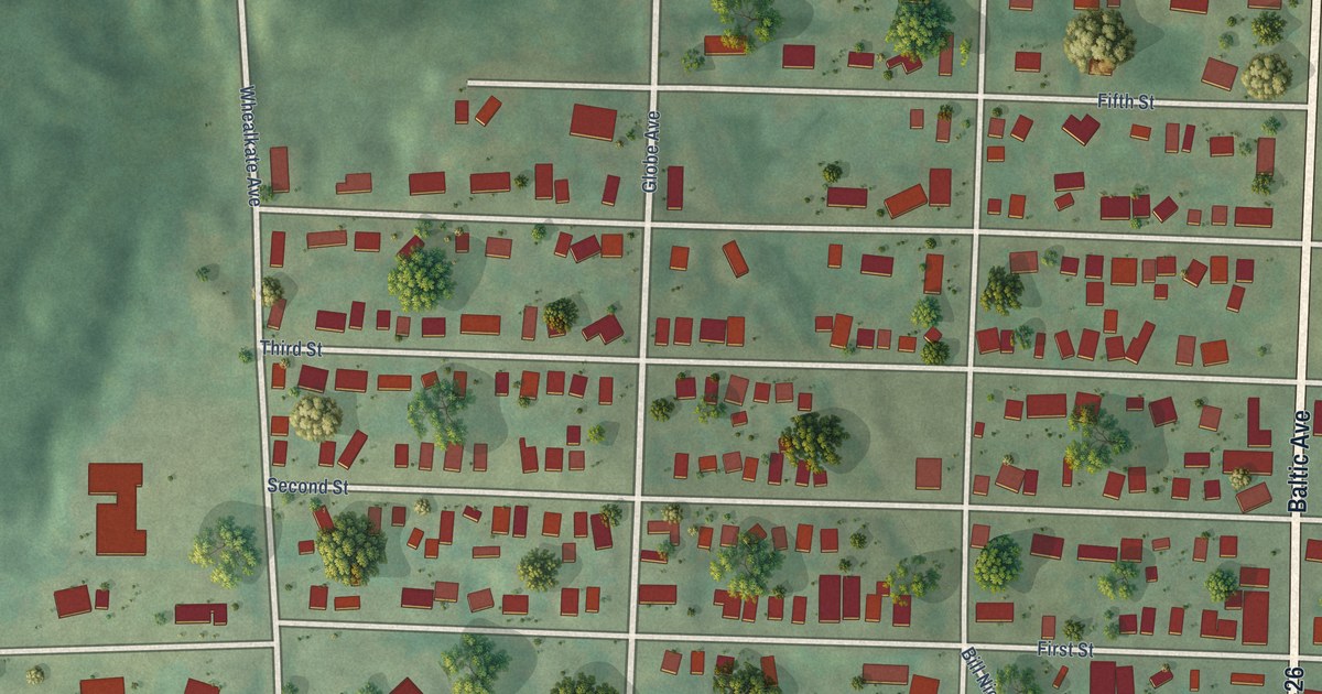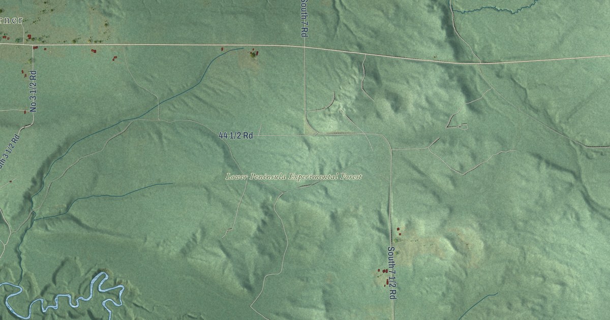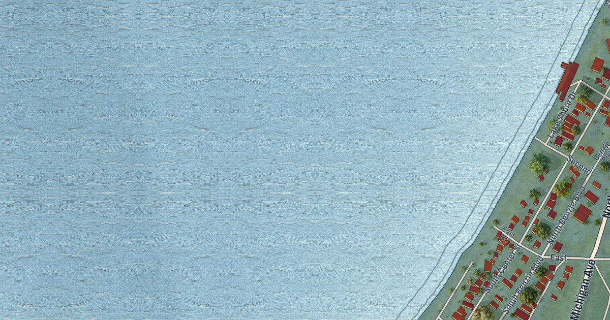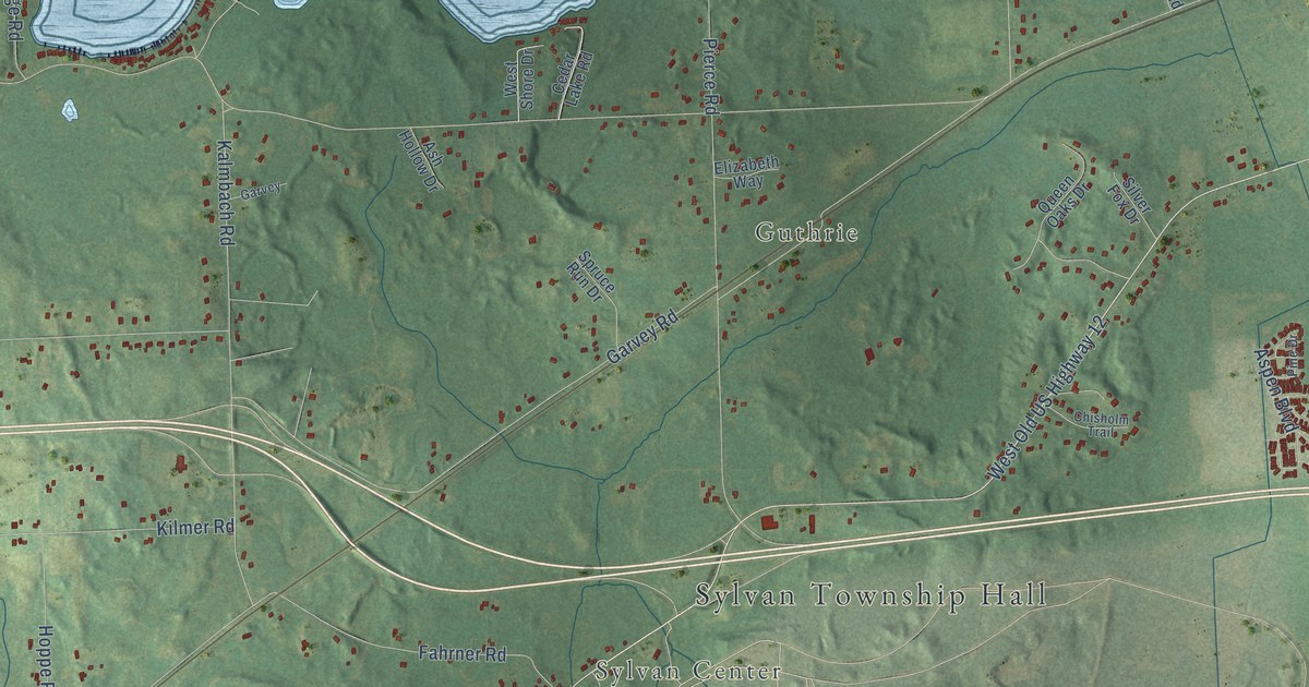
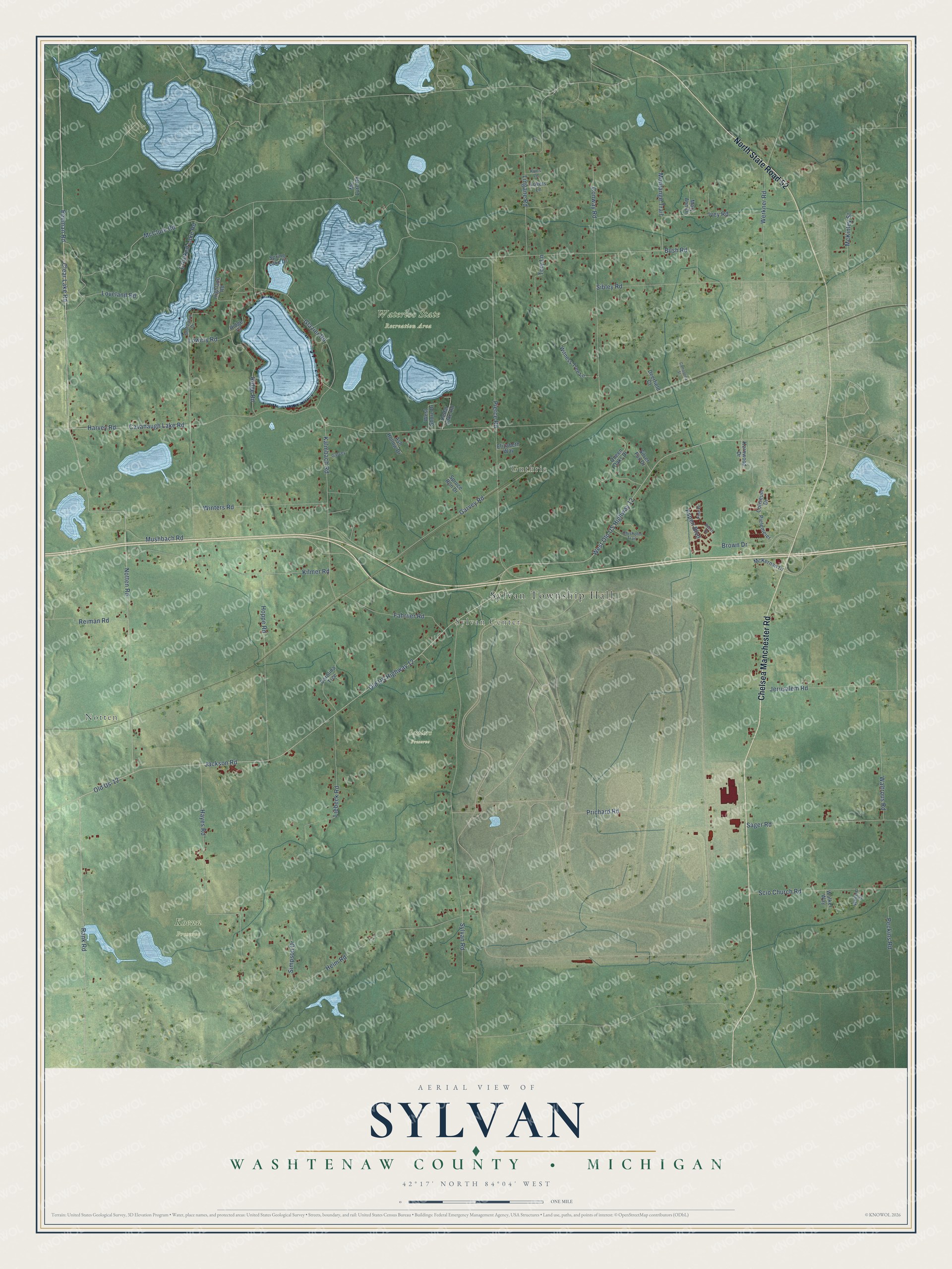
This beautifully detailed map of Sylvan, Michigan was created in 2026 using aerial imagery combined with modern topographical, census, street and landmark data. It's a modern aerial view of Sylvan in Washtenaw County, Michigan, that combines modern data with a vintage aesthetic. The roads feature printed names, and if you look closely you can find your exact house accurately shown in its correct location.
Explore an aerial view of Sylvan, Michigan
On this map you'll find Sylvan Township Hall, Notten, Sylvan Center, Guthrie, Koenn Preserve, Squiers Preserve, Waterloo State Recreation Area, Chelsea Manchester Road, North State Road 52, Jackson Road, Notten Road, Pierce Road, and more. Each red shape is a building, so zoom in on the preview and look for yours.
Sylvan has a story worth telling. The History of Washtenaw County puts it this way: "On the west side of the Short Hills Edwin E. Conkling settled in 1832, and his first wife, Miss Hicox, named the township of Sylvan."
The Census Bureau counted 3,311 people here in 2020.
Take a closer look at the Sylvan map
Names on this map
These names are printed on this map.
Places: Sylvan Township Hall, Notten, Sylvan Center, Guthrie, Koenn Preserve, Squiers Preserve and Waterloo State Recreation Area.
Streets and roads: Chelsea Manchester Road, North State Road 52, Jackson Road, Notten Road, Pierce Road, West Old US Highway 12, Old Us-12, Clear Lake Road, Rank Road, Old US Highway 12, Beeman Road, Loveland Road.
More street names, A to Z
Ash Hollow Drive, Aspen Boulevard, Beech Drive, Brown Drive, Bush Road, Campolina Street, Carolina Trce, Cavanaugh Lake Road, Cedar Lake Road, Chisholm Trail, Coliseum Drive, Conway Road, Crooked Lake Road, Deerfield Court, Elizabeth Way, Fahrner Road, Garvey, Garvey Road, Glazier Road, Harvey Road, Hayes Road, Heim Road, Highland Road, Hoppe Road, Ivey Road, Jerusalem Road, Kalmbach Road, Kernwood Drive, Kilmer Road, Kurts Lane, Liebeck Road, Lingane Road, Lovers Lane, Lowery Road, Mary Ann Drive, McClure Road, McKernan Drive, McKinley Street, Mc Lure Road, Montange Trail, Mushbach Road, Peckins Road, Pielemeier, Pine Drive, Prichard Road, Queen Oaks Drive, Reiman Road, Ridge Court, Ridge Road, Sager Road, Scio Church Road, Shoreview Drive, Sibley Road, Silver Fox Drive, Simpson Drive, Spring Lake Drive, Spruce Run Drive, Sylvan Road, Tory Lane, Walker Way, Waltrous Road, Werkner Road, West Shore Drive, Wheeler Drive, Winters Road, Witness Tree Lane.
Created by KNOWOL in 2026. The buildings are small red shapes, the roads carry their printed names, and shaded relief shows the shape of the land. The title panel reads "AERIAL VIEW OF SYLVAN, WASHTENAW COUNTY • MICHIGAN" with 42°17' NORTH 84°04' WEST.
It looks right in a kitchen, an office or a den, and it's a gift for anyone who grew up in Sylvan or moved away. Open the preview and find your street. See sizes and frames for the Sylvan, Washtenaw County map.