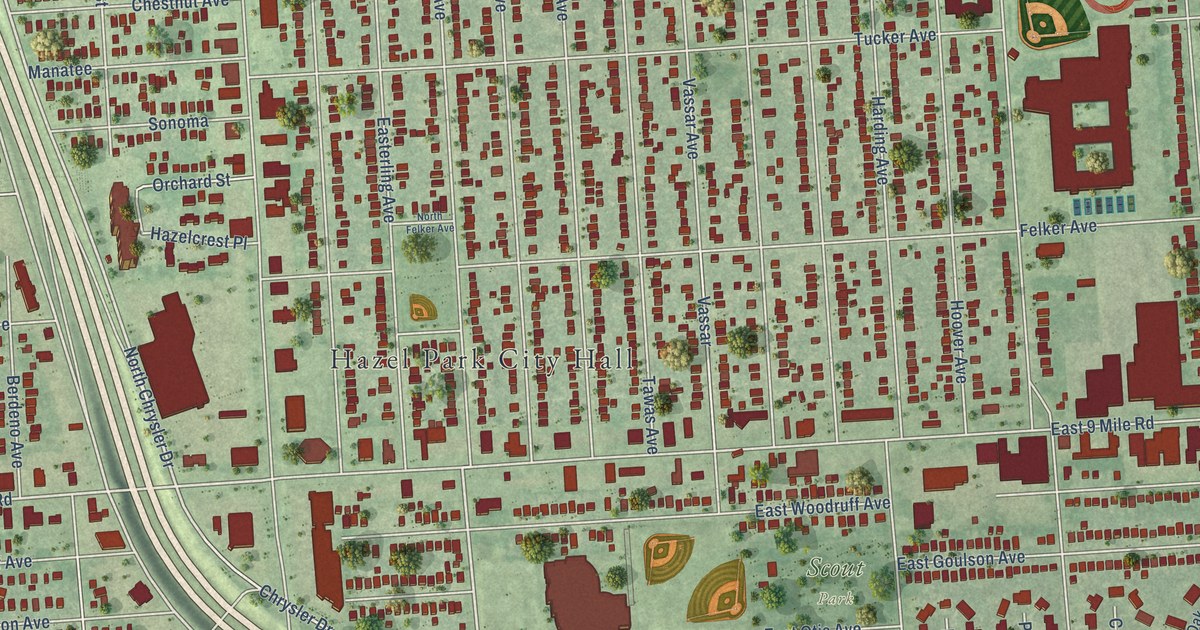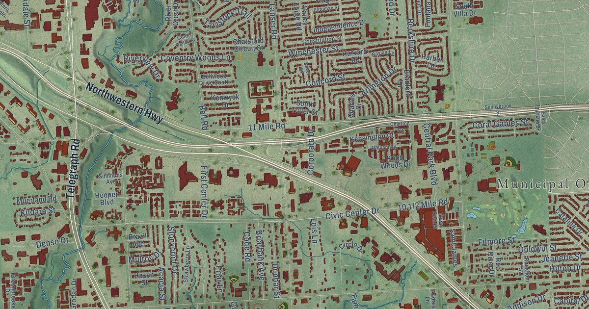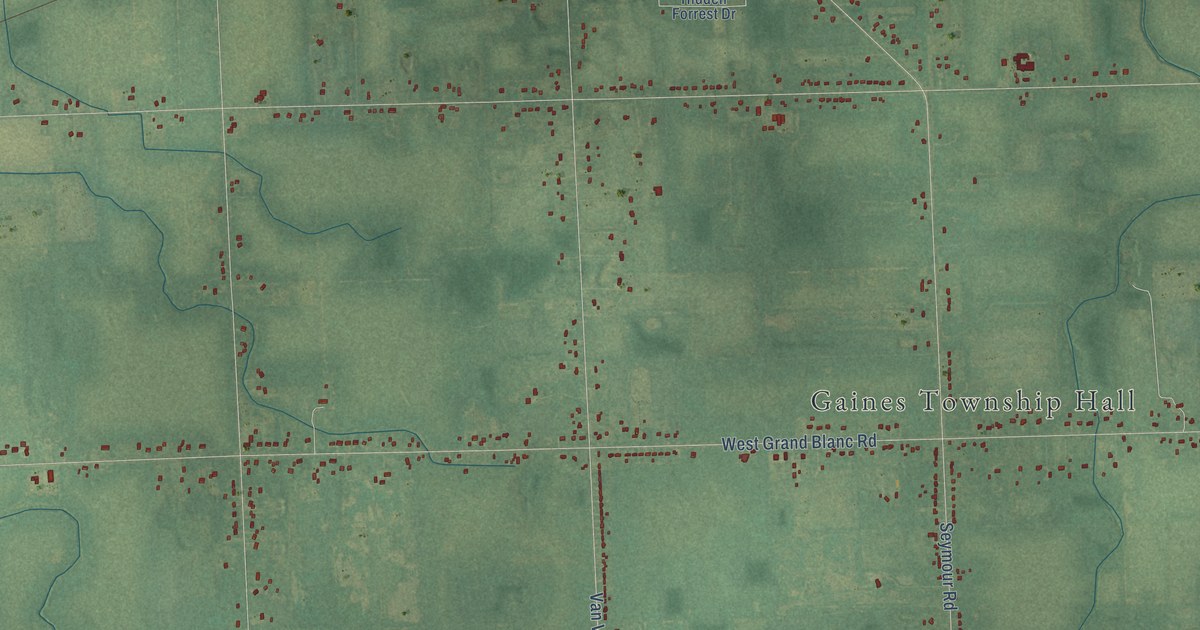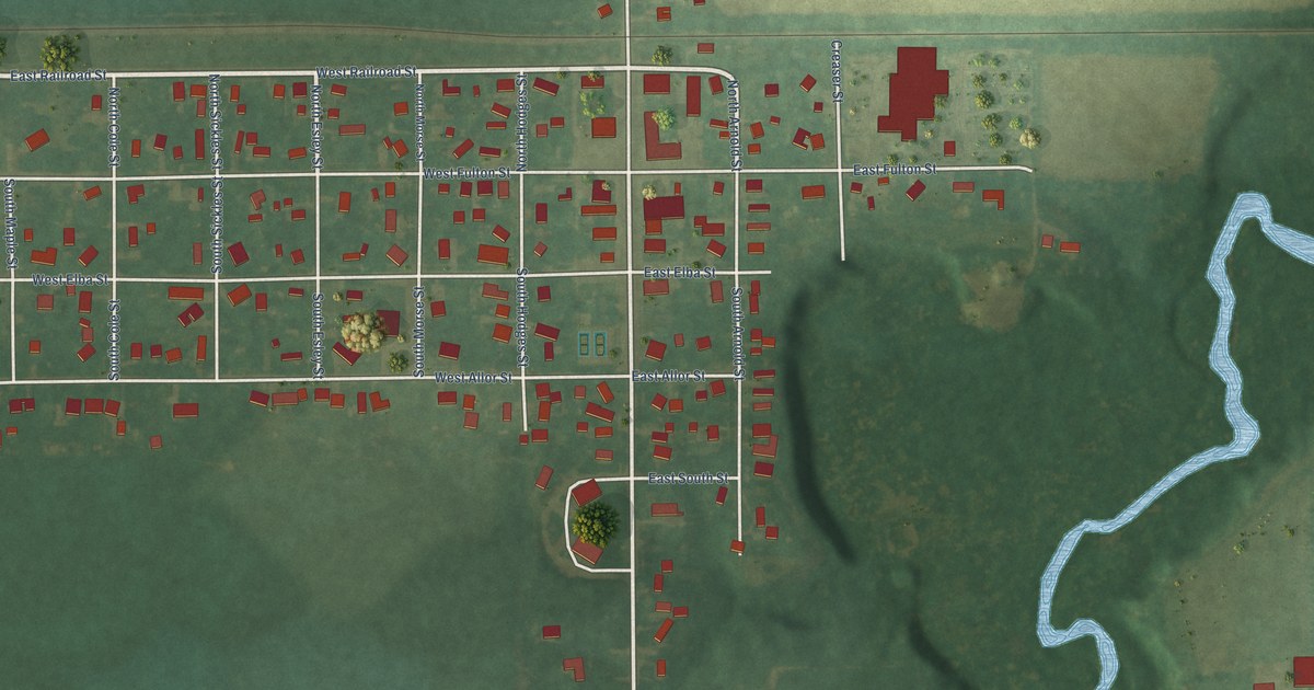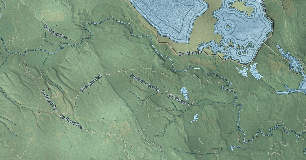
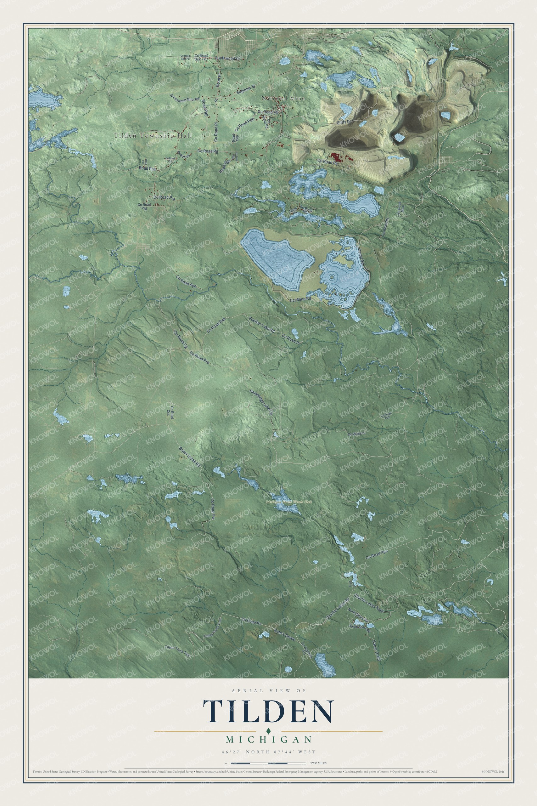
This beautifully detailed map of Tilden, Michigan was created in 2026 using aerial imagery combined with modern topographical, census, street and landmark data. It's a modern aerial view of Tilden in Marquette County, Michigan, that combines modern data with a vintage aesthetic. The roads feature printed names, and if you look closely you can find your exact house accurately shown in its correct location.
Explore an aerial view of Tilden, Michigan
On this map you'll find Tilden Township Hall, National Mine, Michigan North Woods Club, Co Road Px, Kate's Grade, Co Road Pra, Co Road Cg, Camp 10 Road, Bryan Creek Road, Co Road Pw, Charlie Lakes Road, Co Road Ppo, and more. Each red shape is a building, so zoom in on the preview and look for yours.
Here is a piece of Tilden history, in the words of the record. The Tilden Township Recreation Plan puts it this way: "Tilden Township has a rich history of iron ore mining. Mining first began in the Township as part of the Marquette Iron Range shortly after iron ore was discovered in 1844."
The Census Bureau counted 1,045 people here in 2020.
Take a closer look at the Tilden map
Names on this map
These names are printed on this map.
Places: Tilden Township Hall, National Mine and Michigan North Woods Club.
Streets and roads: County Road Px, Kate's Grade, County Road Pra, County Road Cg, Camp 10 Road, Bryan Creek Road, County Road Pw, Charlie Lakes Road, County Road Ppo, County Road Psb, Southwood Drive, Road Pi.
More street names, A to Z
Camp Road, Camp Truck Trail, Cci Mine Road, Charlie Lakes Trail, Cliffs Drive, County Highway Pxl, County Road Ccx, County Road Gpb-Po, County Road Gpc - Po, County Road Mwa, County Road Pb, County Road Pbh, County Road Pd, County Road Pe, County Road Pfh, County Road Pfs, County Road Pg, County Road Pgg, County Road Pi, County Road Ppe, County Road Pph, County Road Ppr, County Road Pr, County Road Pre, County Road Prg, County Road Pv, Greenwood Mine Road, Hemmings Lake Road, Herron Drive, North Shore Road, Road Pbh, Road Pfj, Road Pge, Road Ppg, Road Ppo, Road Ppv, Road Ppx, Saginaw Street, South Shore Road, Tower Truck Trail, Voelker Lake Road.
Created by KNOWOL in 2026. The buildings are small red shapes, the roads carry their printed names, and shaded relief shows the shape of the land. The title panel reads "AERIAL VIEW OF TILDEN, MICHIGAN" with 46°27' NORTH 87°44' WEST.
It suits a den, a classroom or a front hall, and it makes a gift for anyone with Tilden roots. Open the preview and find the block you know. See sizes and frames for the Tilden map.