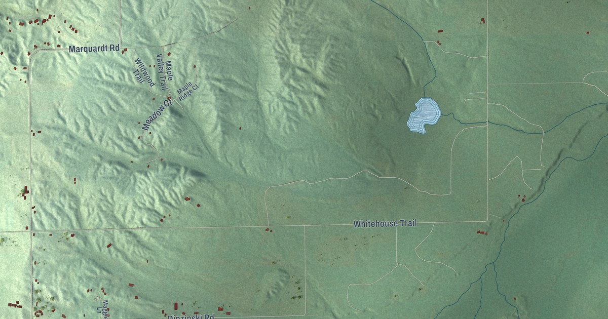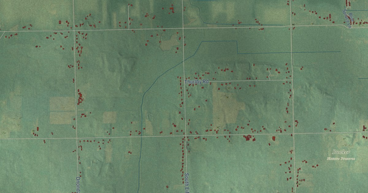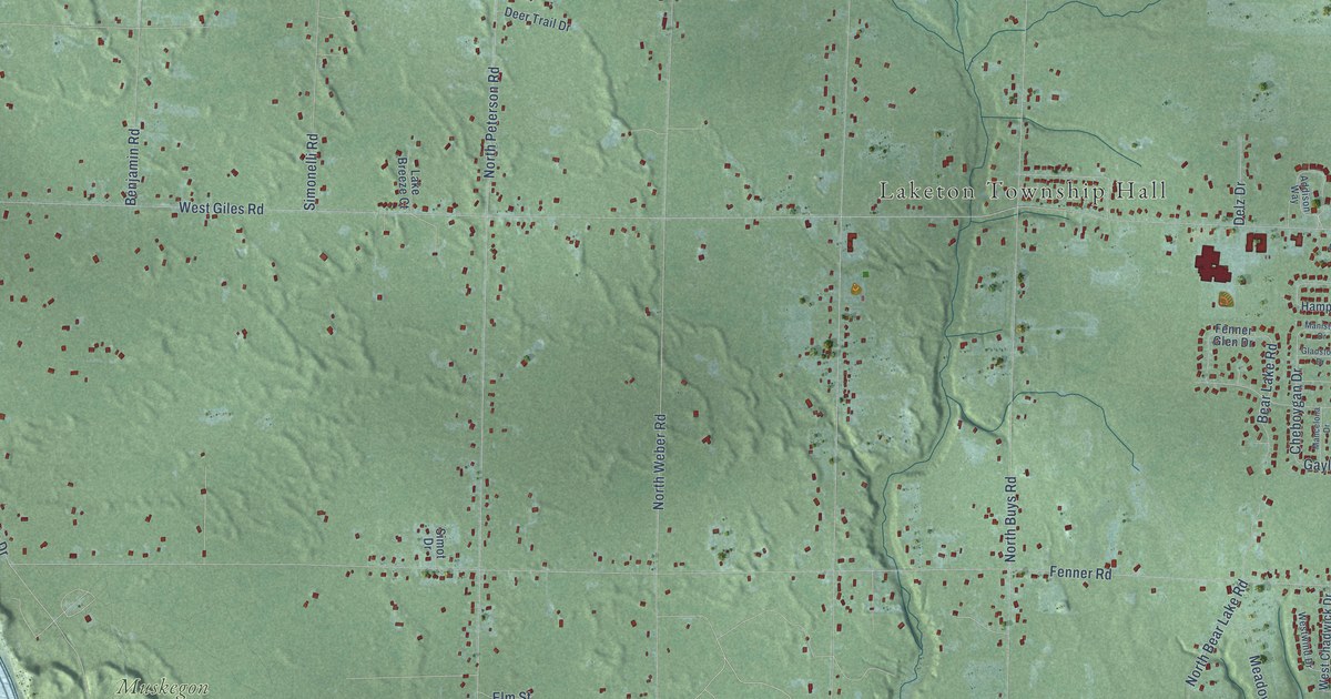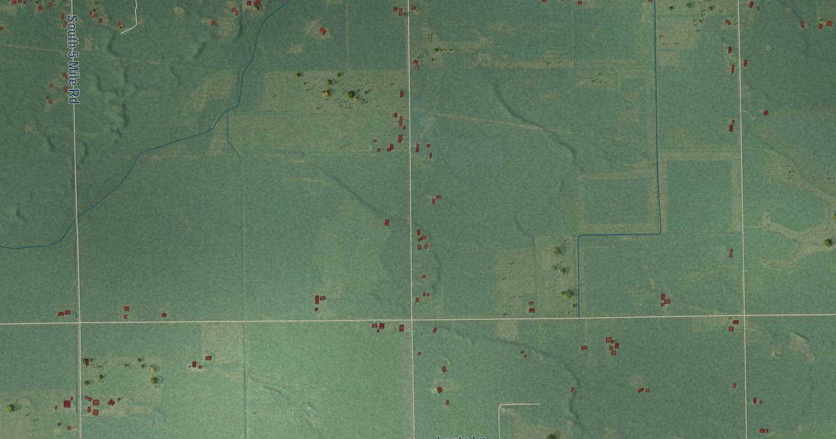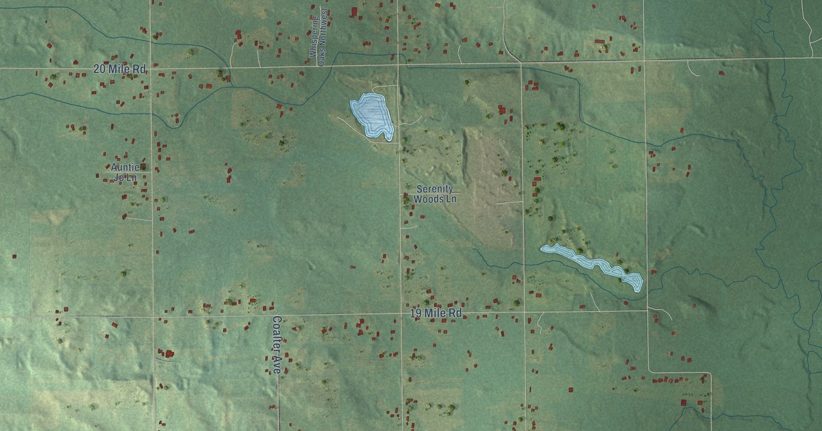
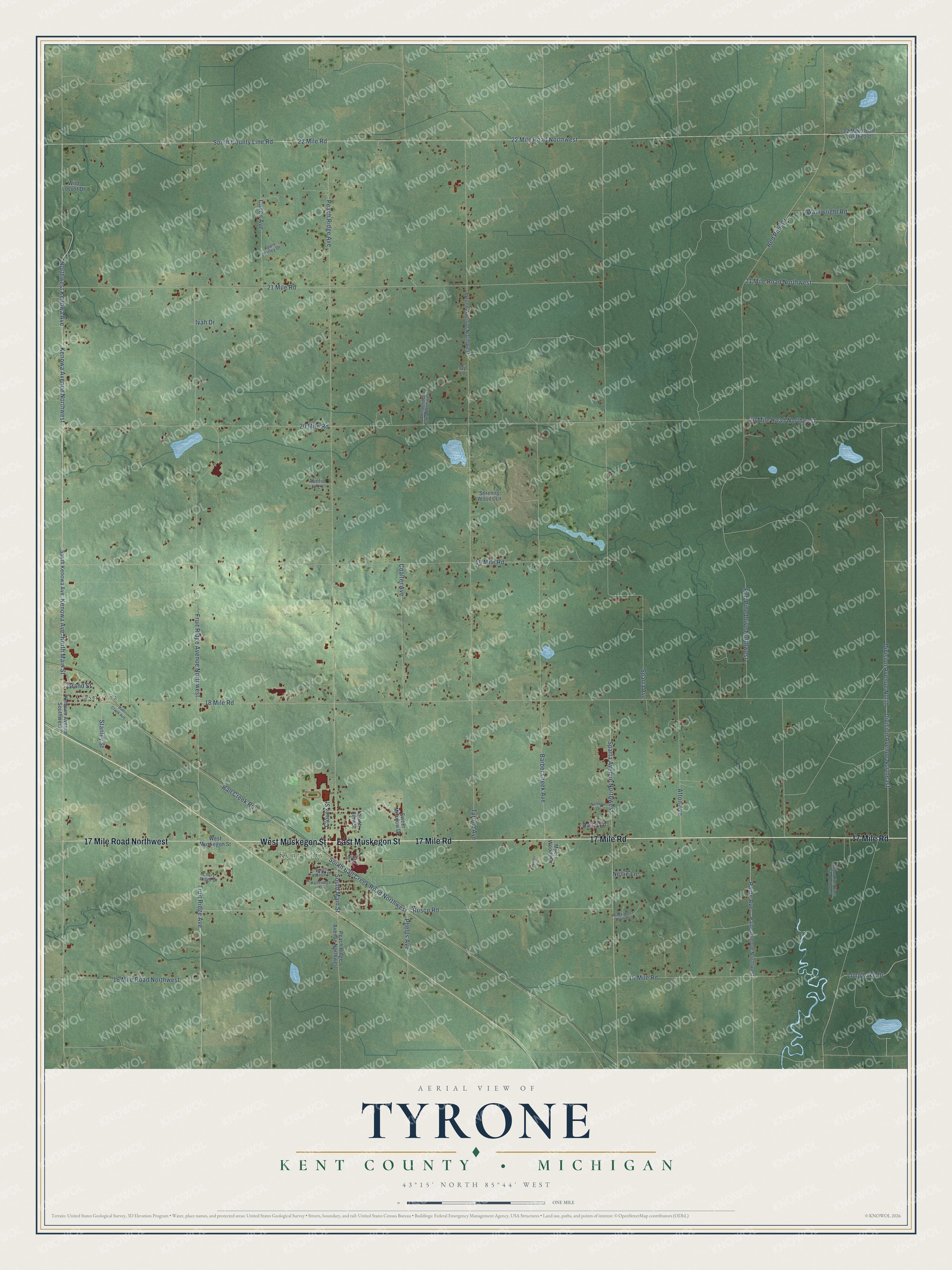
This beautifully detailed map of Tyrone, Michigan was created in 2026 using aerial imagery combined with modern topographical, census, street and landmark data. It's a modern aerial view of Tyrone in Kent County, Michigan, that combines modern data with a vintage aesthetic. The roads feature printed names, and if you look closely you can find your exact house accurately shown in its correct location.
Explore an aerial view of Tyrone, Michigan
On this map you'll find Kent City, Casnovia, 17 Mile Road, East Muskegon Street, West Muskegon Street, 17 Mile Road Northwest, South Main Street, North Main Street, Kenowa Avenue Northwest, Kenowa Avenue, Northwest Kenowa Avenue, 22 Mile Road, and more. Each red shape is a building, so zoom in on the preview and look for yours.
Every town has a first chapter, and Tyrone is no exception. The Grand Rapids and Kent County puts it this way: "The postoffice was formerly known as Ball Creek and the station as Tyrone. It has a public hall that will seat 1,000 people, Baptist and Methodist Episcopal Churches, a bank, a newspaper, and good public schools."
The Census Bureau counted 5,021 people here in 2020.
Take a closer look at the Tyrone map
Names on this map
These names are printed on this map.
Places: Kent City and Casnovia.
Streets and roads: 17 Mile Road, East Muskegon Street, West Muskegon Street, 17 Mile Road Northwest, South Main Street, North Main Street, Kenowa Avenue Northwest, Kenowa Avenue, Northwest Kenowa Avenue, 22 Mile Road, South County Line Road, Rusco Road.
More street names, A to Z
16 Mile Road, 16 Mile Road Northwest, 18 Mile Road, 19 Mile Road, 20 Mile Road, 20 Mile Road Northwest, 21 Mile Road, 21 Mile Road Northwest, 22 Mile Road Northeast, 22 Mile Road Northwest, Afton Avenue, Apple Valley Drive, Auntie Jo Lane, Ball Creek Avenue, Ball Creek Road, Barber Creek Avenue, Black Hills South Drive, Callen Avenue, Chary Ridge Drive, Clover Street, Coalter Avenue, Daisy Lane, Division Avenue North, Division Avenue Northeast, Dj Lane, Fruit Ridge Avenue, Fruit Ridge Avenue Northwest, Grander Lane, Grand Street, Ivah Drive, Kenowa Avenue Southwest, Kentridge Drive, Long Lake Drive, Myers Woods Drive, Nellie Lane, Northern Drive, North Kent Street, Paine Avenue, Paine Avenue Northwest, Peach Ridge Avenue, Peach Ridge Avenue Northwest, Phelps Avenue, Red Pine Drive, Red Pine Drive Northwest, Rogue River Pines Drive Northwest, Serenity Woods Lane, South Ball Creek Road Northwest, South Kenowa Avenue, South Village Drive, Sparta Avenue, Sparta Avenue Northwest, Spring Street, Stanley Street, Sweet Meadow Drive, Tyrone Avenue, Tyrone Avenue Northwest, Wainwright Road, Whispering Oaks Northwest, Wild Locust Drive.
See it on a wall
The Tyrone, Kent County map as a framed print. Swipe for more.


Created by KNOWOL in 2026. The buildings are small red shapes, the roads carry their printed names, and shaded relief shows the shape of the land. The title panel reads "AERIAL VIEW OF TYRONE, KENT COUNTY • MICHIGAN" with 43°15' NORTH 85°44' WEST.
Hang it in the hallway, the office or the cabin, or give it to someone who left Tyrone and still calls it home. Open the preview and look for a street you know. See sizes and frames for the Tyrone, Kent County map.