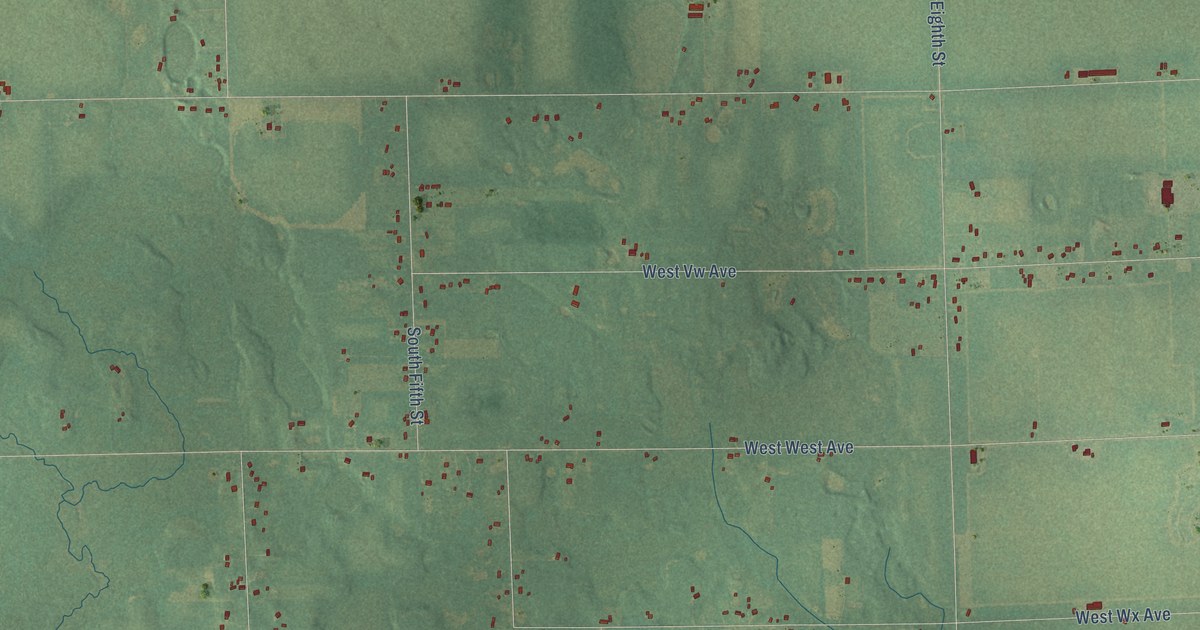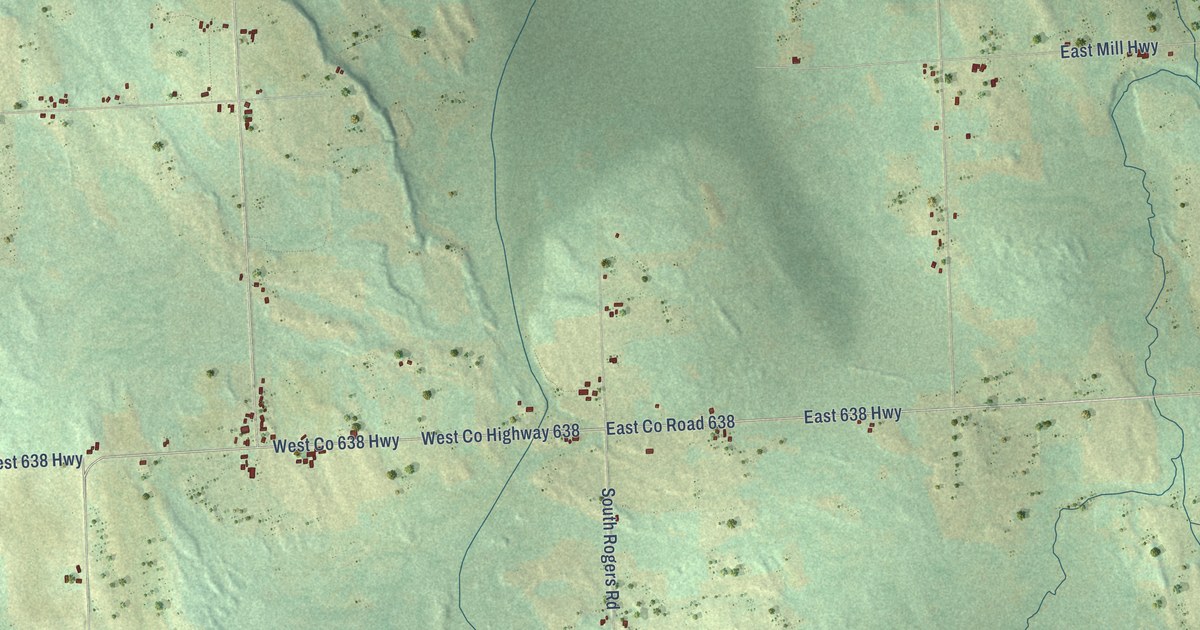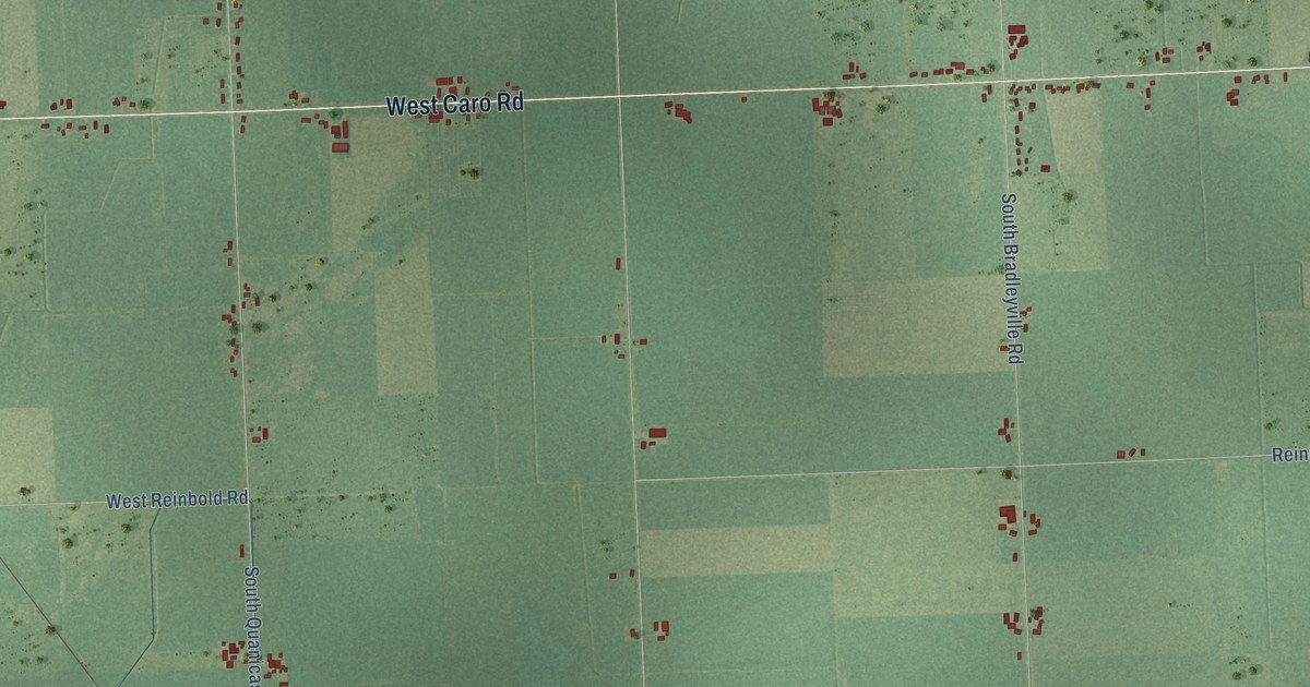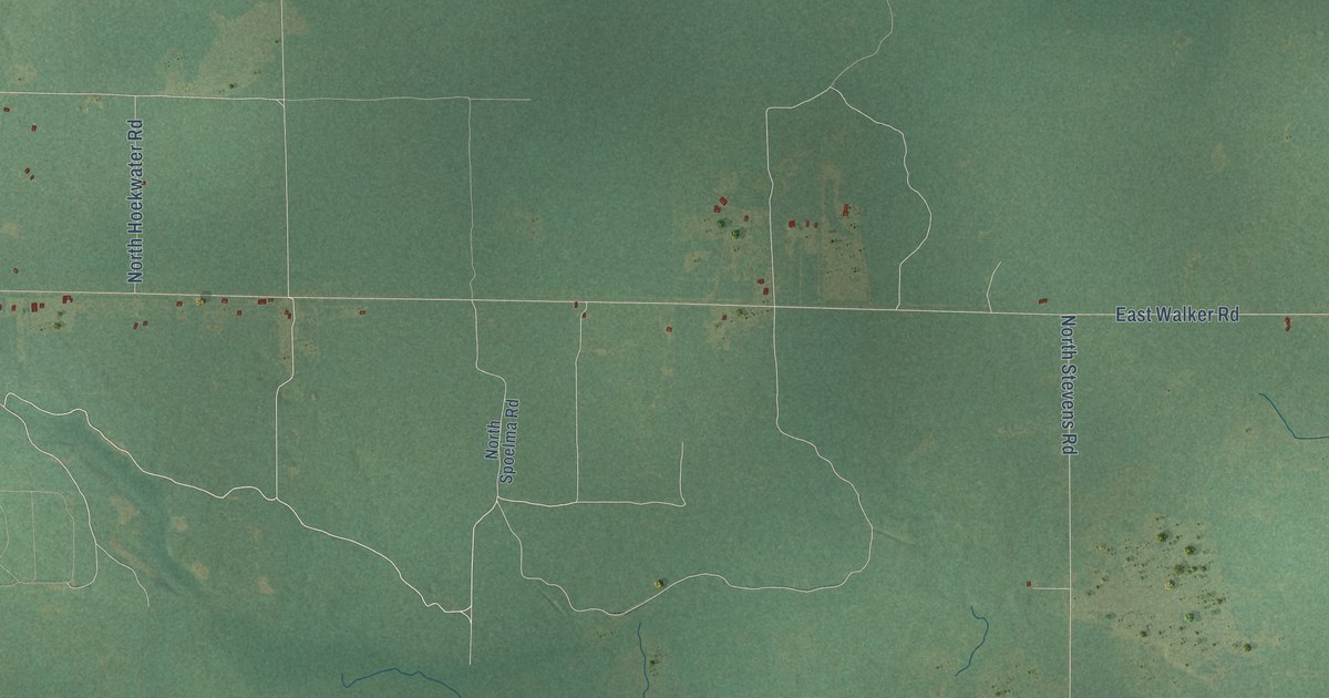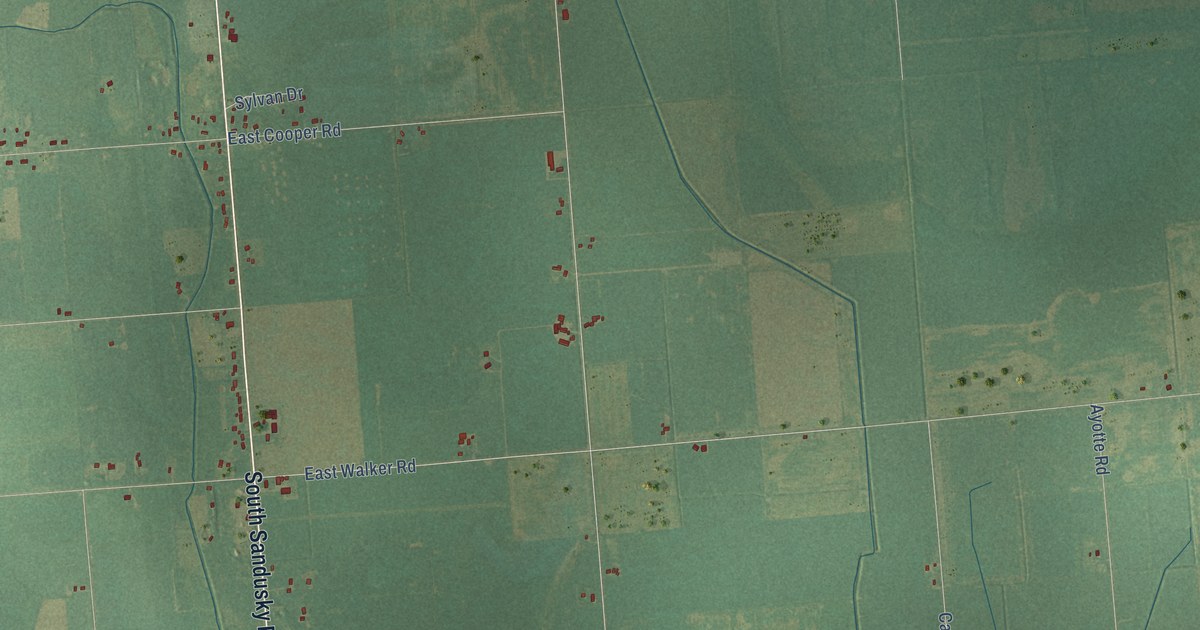
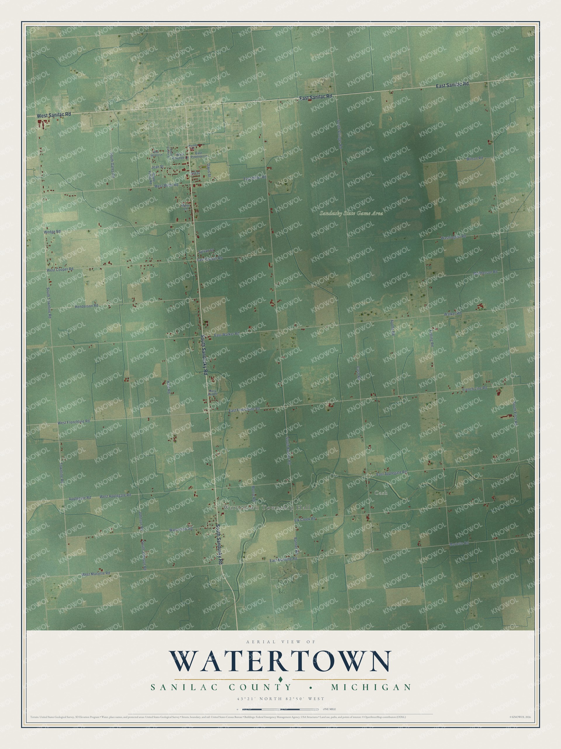
This beautifully detailed map of Watertown, Michigan was created in 2026 using aerial imagery combined with modern topographical, census, street and landmark data. It's a modern aerial view of Watertown in Sanilac County, Michigan, that combines modern data with a vintage aesthetic. The roads feature printed names, and if you look closely you can find your exact house accurately shown in its correct location.
Explore an aerial view of Watertown, Michigan
On this map you'll find Watertown Township Hall, Cash, Sandusky State Game Area, South Sandusky Road, East Sanilac Road, West Sanilac Road, West Frenchline Road, East Marlette Road, Townline Road, South Townline Road, East Frenchline Road, Applegate Road, and more. Each red shape is a building, so zoom in on the preview and look for yours.
Here is a piece of Watertown history, in the words of the record. The record at arcgis.com puts it this way: "Named after early settler Edward Cash, the village of Cash was founded in 1851. In 1868, seven Cash residents voted to found Watertown Township to govern and serve the quickly growing area. Each man who voted held at least one township post. In 1881, Cash survived wildfires that swept across the entire county in five hours."
The Census Bureau counted 1,263 people here in 2020.
Take a closer look at the Watertown map
Names on this map
These names are printed on this map.
Places: Watertown Township Hall, Cash and Sandusky State Game Area.
Streets and roads: South Sandusky Road, East Sanilac Road, West Sanilac Road, West Frenchline Road, East Marlette Road, Townline Road, South Townline Road, East Frenchline Road, Applegate Road, Johnson Road, West Applegate Road, East Walker Road.
More street names, A to Z
Ayotte Road, Banner Road, Blue Spruce Lane, Cash Road, Davis Street, Dell Street, East Applegate Road, East Cooper Road, East Miller Road, East Pinetree Lane, Elk Creek Road, Fetting Road, French Line Road, Hale Road, Henderson Road, Jean Street, Maple Valley Road, Marlette Road, Marshall Drive, Mary Ann Drive, McPherson Road, Minor Lane, Morris Road, South Banner Road, South Custer Street, South Fitch Road, South Gates Road, South Johnson Road, South Stringer Road, Sylvan Drive, Walker Road, Washington Road, Watertown Road, Wedge Road, West Cooper Road, West Marlette Road, West Miller Road, West Pinetree Lane, Wilson Road.
Created by KNOWOL in 2026. The buildings are small red shapes, the roads carry their printed names, and shaded relief shows the shape of the land. The title panel reads "AERIAL VIEW OF WATERTOWN, SANILAC COUNTY • MICHIGAN" with 43°21' NORTH 82°50' WEST.
It suits a den, a classroom or a front hall, and it makes a gift for anyone with Watertown roots. Open the preview and find the block you know. See sizes and frames for the Watertown, Sanilac County map.