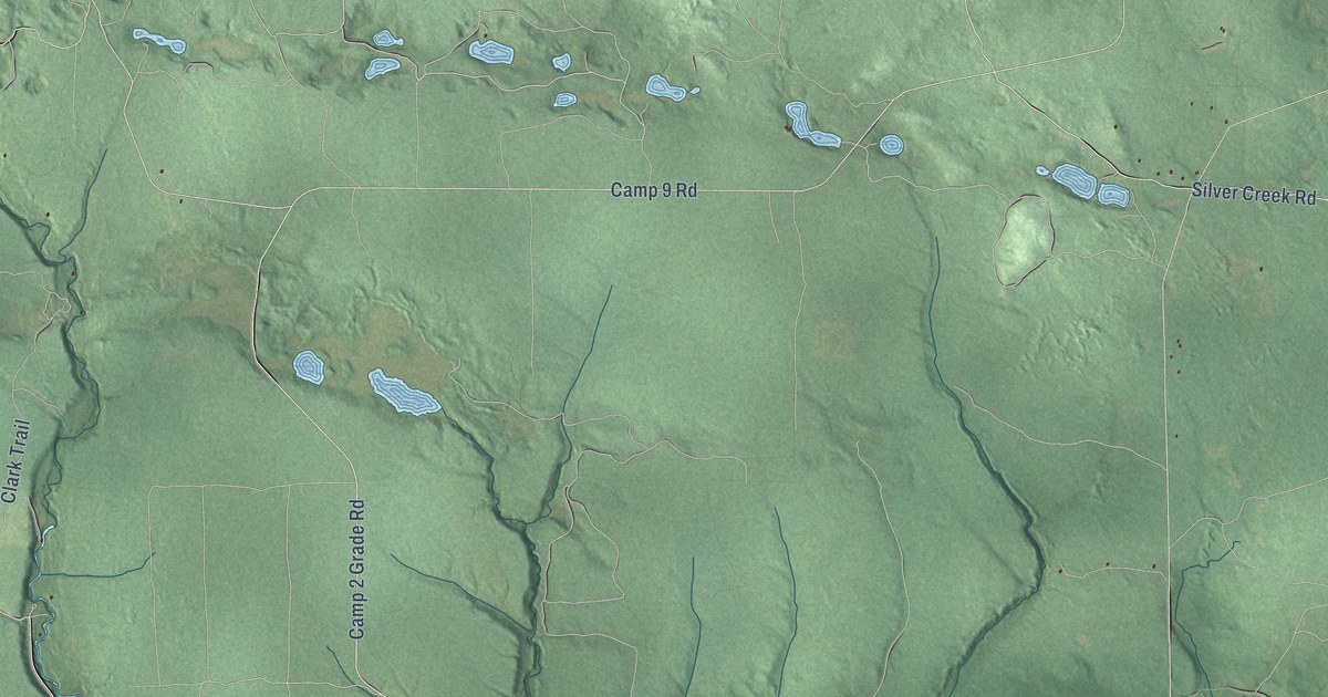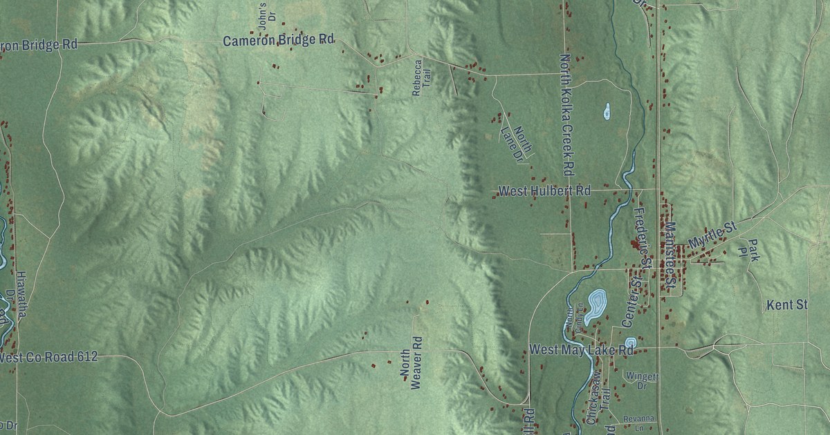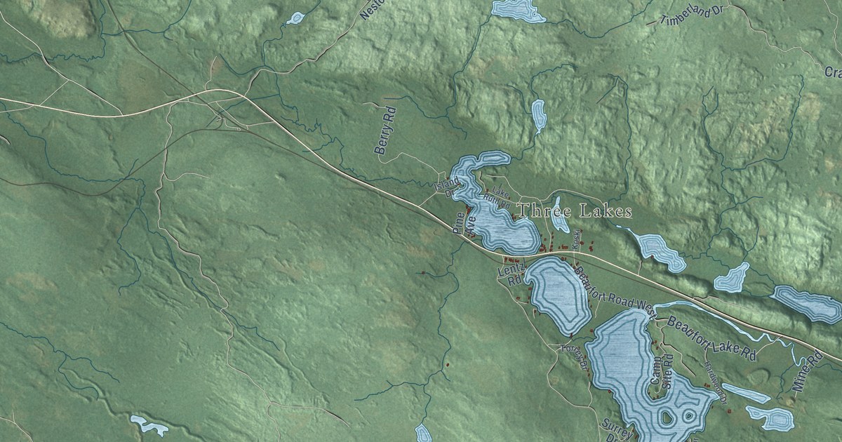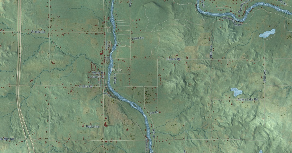
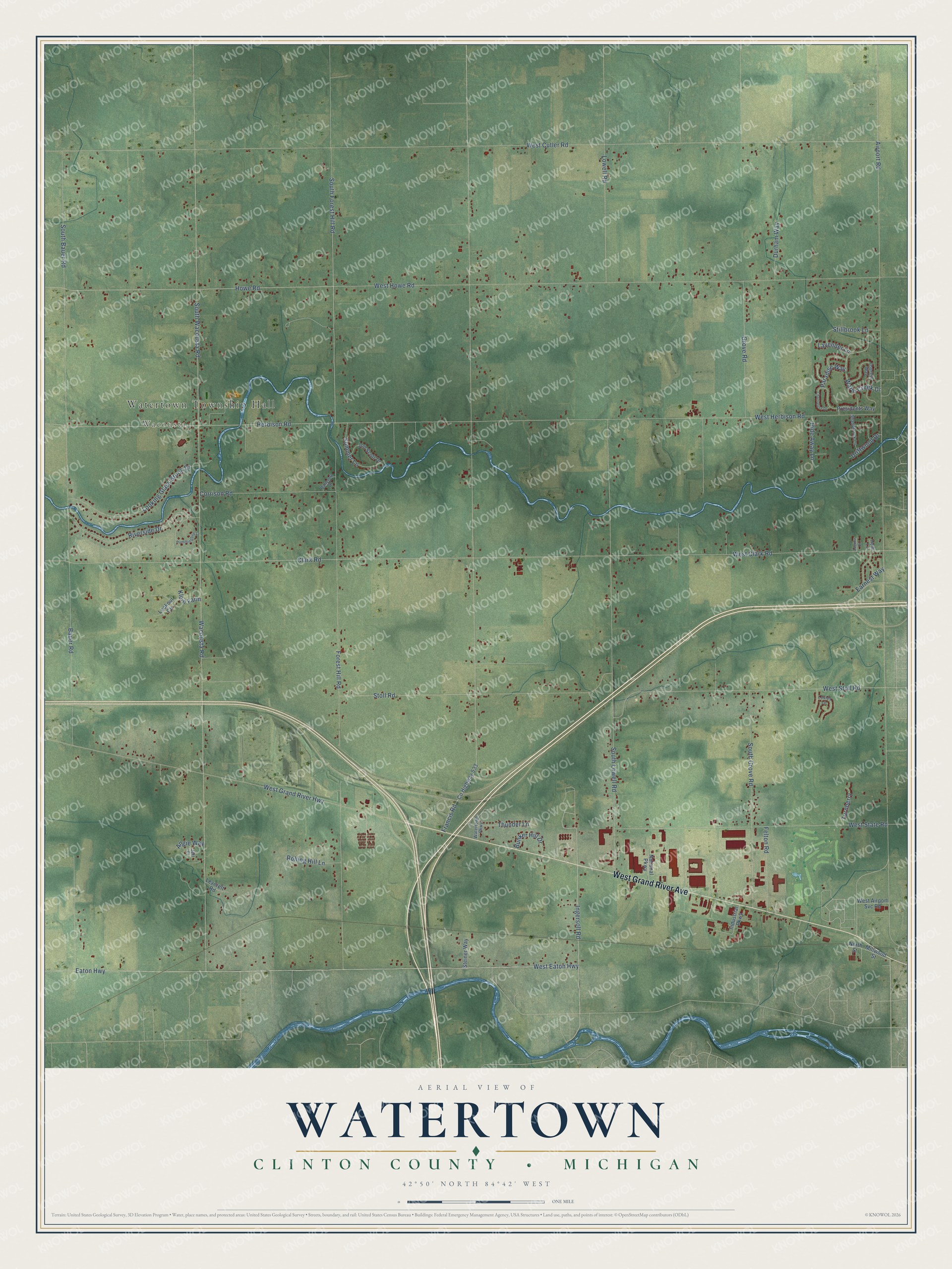
This beautifully detailed map of Watertown, Michigan was created in 2026 using aerial imagery combined with modern topographical, census, street and landmark data. It's a modern aerial view of Watertown in Clinton County, Michigan, that combines modern data with a vintage aesthetic. The roads feature printed names, and if you look closely you can find your exact house accurately shown in its correct location.
Explore an aerial view of Watertown, Michigan
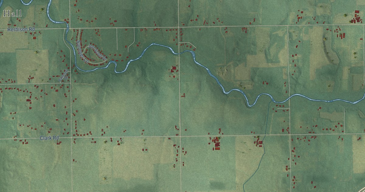
On this map you'll find Watertown Township Hall, Wacousta, West Grand River Avenue, Ingersoll Road, Eaton Highway, Airport Road, Clark Road, Francis Road, South Wacousta Road, Wacousta Road, West Cutler Road, West Howe Road, and more. Each red shape is a building, so zoom in on the preview and look for yours.
Every town has a first chapter, and Watertown is no exception. The Past and Present of Clinton County puts it this way: "Watertown was further reduced in size by an act passed in 1839, which erected and organized the township of Westphalia. Two years later, in 1841, the township of Eagle was set off from Watertown, and the township of Riley was organized from the same territory, thus leaving Watertown with its present area."
The Census Bureau counted 5,563 people here in 2020.
Take a closer look at the Watertown map
Names on this map
These names are printed on this map.
Places: Watertown Township Hall and Wacousta.
Streets and roads: West Grand River Avenue, Ingersoll Road, Eaton Highway, Airport Road, Clark Road, Francis Road, South Wacousta Road, Wacousta Road, West Cutler Road, West Howe Road, West Herbison Road, Forest Hill Road.
More street names, A to Z
Adeline Drive, Angie Way, Bancroft Drive, Bauer Road, Bunker Hill Drive, Chartreuse Drive, Corrison Road, County Highway 533, Driftwood Drive, Durham Way, Earnest Way, Felton Road, Grove Road, Heidi Lane, Herbison Road, Hide Away Lane, Howe Road, Hummingbird Lane, Industrial Parkway, Jeff Court, Jon Scott Drive, Klein Farm, Lavender Lane, Leverett Road, Looking Glass Brook Drive, Lookout Circle, Lowell Road, Loxley Lane, Millwood Street, National Parkway, North Street, Ospreys Way, Paradise Way, Presidents Way, Riverside Drive, Rolling Hill Lane, Shadybrook Lane, South Bauer Road, South Forest Hill Road, South Grove Road, South Lowell Road, Steiner Way, Stillbrook Lane, Stoll Road, Summer Lane, Thunder Lane, Turnberry, Warm Creek Drive, Watertown Parkway, West Airport Svc Road, West Clark Road, West Eaton Highway, West Grand River Highway, West State Road, West Stoll Road.
Created by KNOWOL in 2026. The buildings are small red shapes, the roads carry their printed names, and shaded relief shows the shape of the land. The title panel reads "AERIAL VIEW OF WATERTOWN, CLINTON COUNTY • MICHIGAN" with 42°50' NORTH 84°42' WEST.
Hang it in the hallway, the office or the cabin, or give it to someone who left Watertown and still calls it home. Open the preview and look for a street you know. See sizes and frames for the Watertown, Clinton County map.