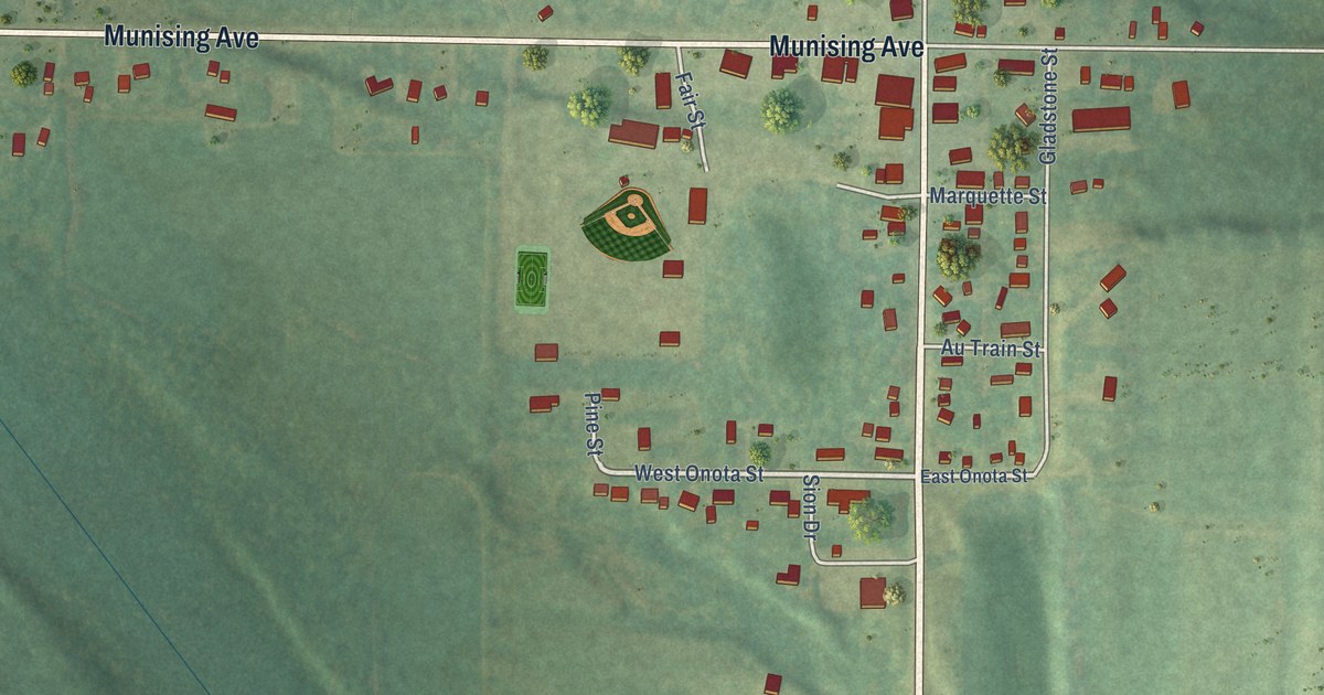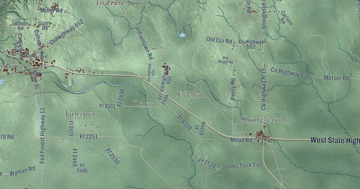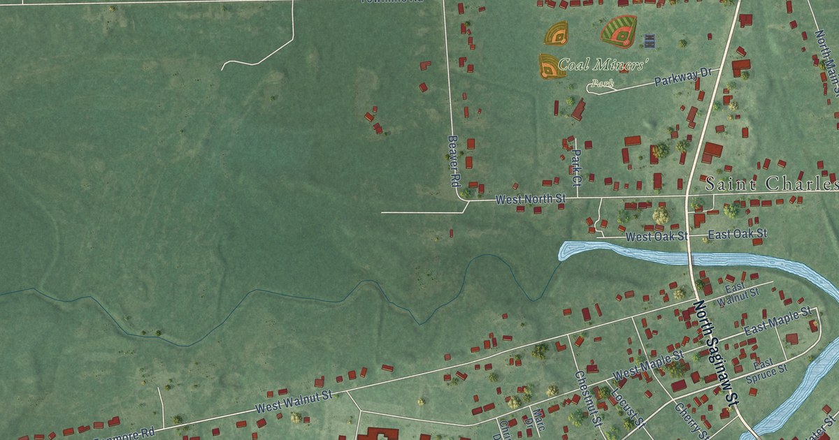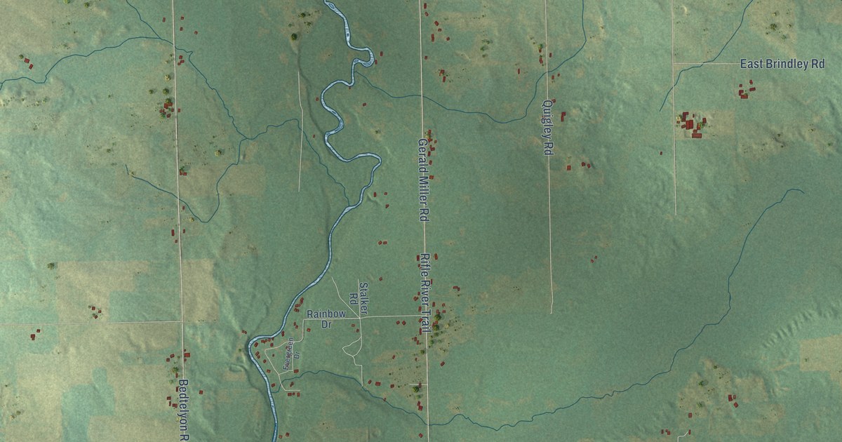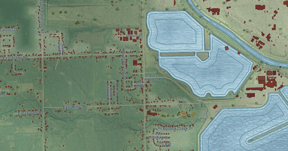
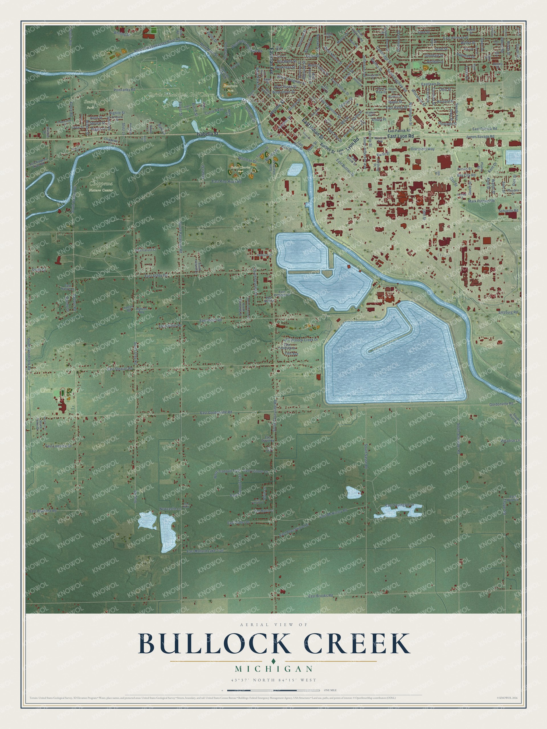
This beautifully detailed map of Bullock Creek, Michigan was created in 2026 using aerial imagery combined with modern topographical, census, street and landmark data. It’s a one-of-a-kind view of Bullock Creek that combines accurate data with a vintage aesthetic. The map shows every building in its true location, many of the roads carry their names, and the shaded topographic relief shows the shape of the land.
Explore an aerial view of Bullock Creek, Michigan
On the map you’ll find Downtown, Dean, Chippewa Nature Center, Emerson Park, Saint Charles Park, Smith Park, Midland, and Currie Municipal Golf Course, along with East Indian Street, Isabella Street, Lyon Road, East Lyon Road, and more. If you look closely you can even find your house accurately drawn in its correct location. Zoom in on the preview to look for yours.
Take a closer look at the Bullock Creek map
Names on this map
These names are printed on this map.
Places: Downtown, Dean, Chippewa Nature Center, Emerson Park, Saint Charles Park, Smith Park, Midland and Currie Municipal Golf Course.
Streets and roads: East Indian Street, Isabella Street, Lyon Road, East Lyon Road, Jerome Street, Eastman Avenue, Bay City Road, East Buttles Street, Haley Street, Ashman Street, Jefferson Avenue, Gordonville Road.
More street names, A to Z
18th Street, 19th Street, 21st Street, Abbott Road, Adelaide Street, Airfield Lane, Albee Lane, Albin Lane, Alta Court, Arbury Place, Atwell Street, Austin Street, Avon Street, Badour Road, Balfour Street, Bark Lane, Barth Street, Bauss Street, Bayliss Street, Benson Street, Betsey Drive, Bookness Street, Boston Street, Bradfield Street, Bradley Road, Burch Street, Buttles Street, Cambridge Street, Carol Court, Carolina Street, Cedar Street, Cherry Street, Cherry View Drive, Chippewa Lane, Chippewassee Trail, Colorado Street, Cook Road, Corning Lane, Crane Court, Currie Parkway, Dartmouth Drive, Dauer Street, Dawn Drive, Dick Street, Dina Street, Discovery Way, Dublin Avenue, East Allen Street, East Ashby Road, East Ashman Street, East Beechwood Drive, East Bradford Road, East Brooks Road, East Bullock Creek Drive, East Carpenter Street, East Caruso Court, East Chippewa River Road, East Collins Street, East David Road, East Frederick Street, East Ginter Road, East Gordonville Road, East Grove Street, East Haley Street, East Hines Street, Eastlawn Drive, East Leisure Lane, East Lonestar Drive, East Lydia Street, East Main Street, East Mallard Lake Trail, East Martin Court, East McKinley Road, East Miller Road, East Nature Lane, East Nelson Street, East Nold Street, East Park Drive, East Patrick Road, East Pine River Road, East Pine Street, East Pineview Drive, East Progress Place, East Southgate Drive, East Stewart Road, East Tranquil Trail, East Union Street, East Wise Road, East Yoder Drive, Elizabeth Street, Ellsworth Street, Emerson Park Road, Fairlane Street, Forest Street, Fournie Street, Gary Street, George Street, Glendale Street, Golfside Drive, Gordon Street, Gray Road, Greenway Drive, Helen Street, Hignite Street, Hill Court, Holyrood Street, Horton Road, Hutchison Lane, Iowa Street, Ivy Lane, James Savage Road, Jordans Way, Keith Street, Kenny Court, Kent Court, Kent Street, Lincoln Street, Lindy Street, Lingle Lane, Lois Avenue, Louanna Street, Love Street, Lucky Court, Lyon Street, Madison Street, Manor Drive, Maple Street, Mark Putnam Road, Maryland Street, Mary Street, Mertz Street, Milford Street, Mill Street, Montrose Street, Newcastle Lane, Noeske Street, North Saginaw Road, North Street, North Tittabawassee River Road, Novak Street, Ohio Street, Orchard Drive, Paradise Lane, Parsons Court, Pershing Street, Plumer Street, Pomranky Road, Post Street, Princeton Court, Rapanos Drive, Reed Manor, Revere Street, Riggie Street, Rivercrest Court, River Street, Rodd Street, Ronan Street, Saint Charles Street, Salzburg Road, Sam Street, Sauve Street, Sayre Street, Schuette Road, Scott Street, Shirmor Drive, Smith Court, Smith Road, Soper Street, South Badour Road, South Clarence Court, South Dearing Lane, South Ford Court, South Grey Road, South Ireland Lane, South Jefferson Avenue, South Patterson Road, South Poseyville Road, South River Road, South Romanda Street, South Saginaw Road, South Sasse Road, South Schrieber Road, South Tomei Drive, South Woodcock Road, Spruce Street, State Street, Stolz Lane, Stormy Drive, Swede Avenue, Thayer Road, Townsend Street, Towsley Street, Valley Drive, Vance Road, Venture Drive, Virginia Street, Walnut Street, Walter Street, Washington Street, West Buttles Street, West Carpenter Street, West Collins Street, West Hines Street, West Main Street, West Nelson Street, West Park Drive, West Reardon Street, West Saint Andrews Road, West Tranquil Trail, West Union Street, Wexford Avenue, Whiting Drive, Whitman Drive, Wildes Street, Wisconsin Street, Wood Court, Wyllys Street.
See it on a wall
The Bullock Creek map as a framed print. Swipe for more.


This beautifully detailed map of Bullock Creek makes an attractive addition to your office, library, or den, and it can even be used to teach children the geography and history of the area. It also makes a great gift for anyone who grew up in Bullock Creek or moved away. When you’re done exploring, click here to get your copy of the Bullock Creek map.