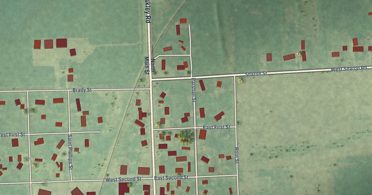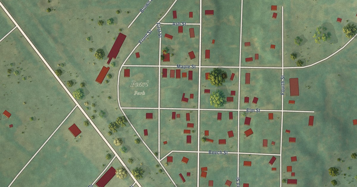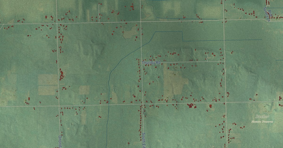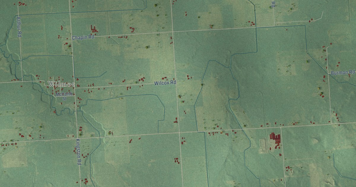
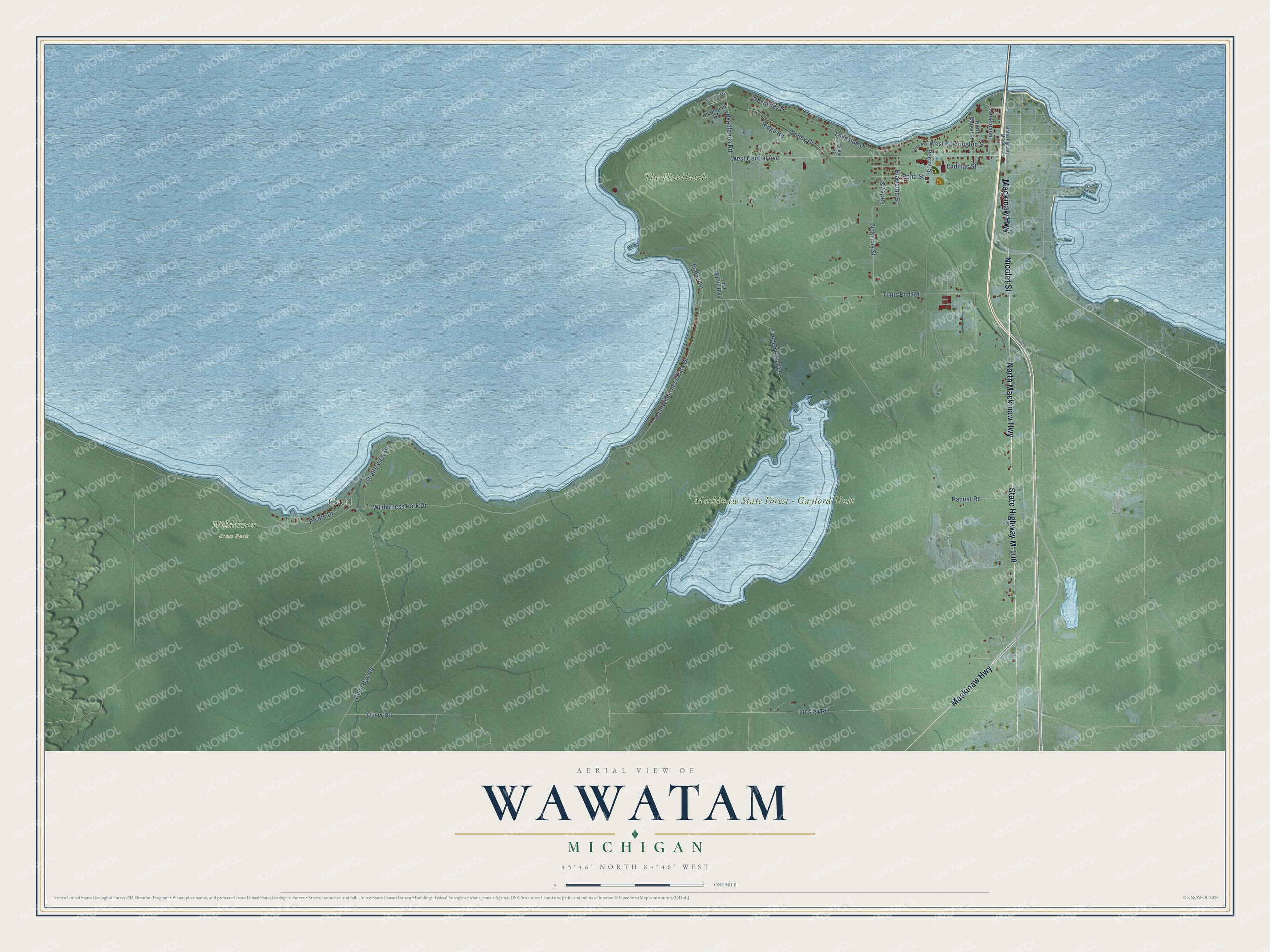
This beautifully detailed map of Wawatam, Michigan was created in 2026 using aerial imagery combined with modern topographical, census, street and landmark data. It's a modern aerial view of Wawatam in Emmet County, Michigan, that combines modern data with a vintage aesthetic. The roads feature printed names, and if you look closely you can find your exact house accurately shown in its correct location.
Explore an aerial view of Wawatam, Michigan
On this map you'll find Cecil, Mackinaw State Forest – Gaylord Unit, The Headlands, Wilderness State Park, Nicolet Street, Mackinaw Highway, State Highway M-108, North Mackinaw Highway, West Central Avenue, Headlands Road, Louvingney, Trails End Road, and more. Each red shape is a building, so zoom in on the preview and look for yours.
Here is a piece of Wawatam history, in the words of the record. The record at arcgis.com puts it this way: "Ezekiel Solomon’s business often took him to Montreal where he is believed to have been buried and where he was a member of Canada’s first Jewish congregation, Shearith Israel."
The Census Bureau counted 711 people here in 2020.
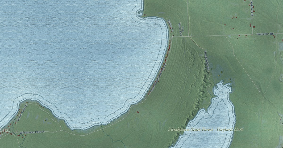
Take a closer look at the Wawatam map
Names on this map
These names are printed on this map.
Places: Cecil, Mackinaw State Forest - Gaylord Unit, The Headlands and Wilderness State Park.
Streets and roads: Nicolet Street, Mackinaw Highway, State Highway M-108, North Mackinaw Highway, West Central Avenue, Headlands Road, Louvingney, Trails End Road, East Wilderness Park Drive, West Etherington Street, Wilderness Park Drive, Linsley Road.
More street names, A to Z
Algonquin Drive, Cadillac Street, Cecil Bay Road, Cedar Street, David Drive, Esther Lane, Farley Street, Ford Martin Boulevard, French Lake Road, Hiawatha Street, Lakeside Drive, Nokomis Street, North Marest Street, Oliver Road, Paquet Road, Perrot Street, Pointe Drive, Pond Street, Ridge Road, Straits Avenue, Straits View Drive, Valley Drive, Wenniway Drive.
Created by KNOWOL in 2026. The buildings are small red shapes, the roads carry their printed names, and shaded relief shows the shape of the land. The title panel reads "AERIAL VIEW OF WAWATAM, MICHIGAN" with 45°46' NORTH 84°46' WEST.
It suits a den, a classroom or a front hall, and it makes a gift for anyone with Wawatam roots. Open the preview and find the block you know. See sizes and frames for the Wawatam map.