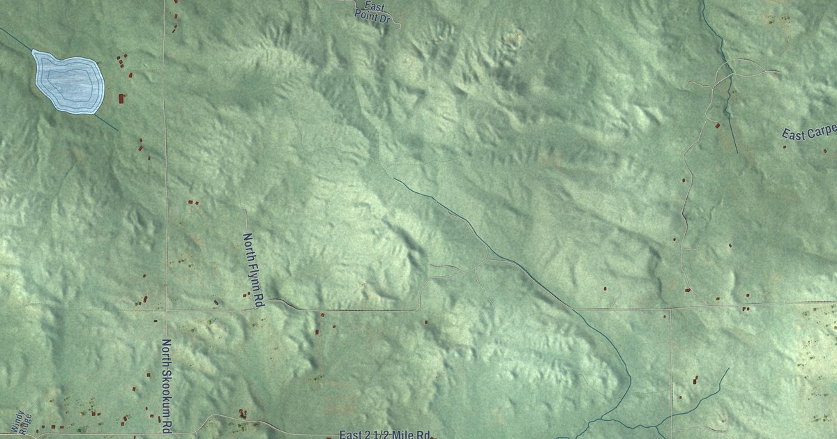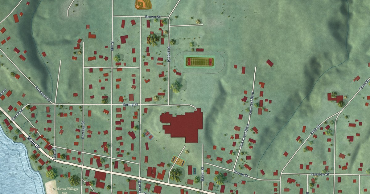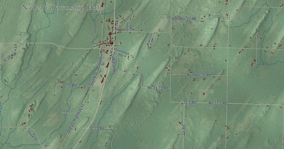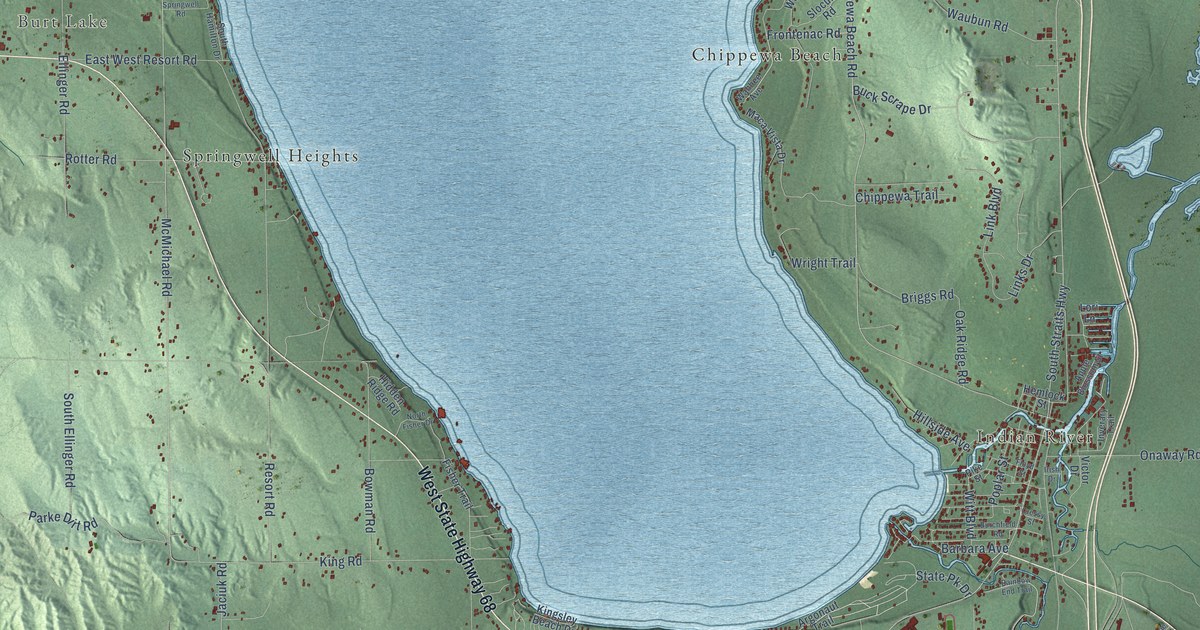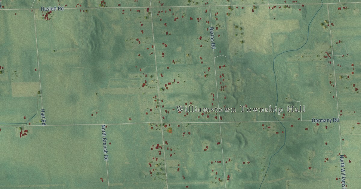
This beautifully detailed map of Williamstown, Michigan was created in 2026 using aerial imagery combined with modern topographical, census, street and landmark data. It's a modern aerial view of Williamstown in Ingham County, Michigan, that combines modern data with a vintage aesthetic. The roads feature printed names, and if you look closely you can find your exact house accurately shown in its correct location.
Explore an aerial view of Williamstown, Michigan
On this map you'll find Williamstown Township Hall, Meridian, East Grand River, North Putman Road, Vanneter Road, East Newman Road, Milton Road, West Lovejoy Road, Rowley Road, Zimmer Road, North Williamston Road, Sherwood Road East, and more. Each red shape is a building, so zoom in on the preview and look for yours.
Here is a piece of Williamstown history, in the words of the record. The History of Ingham and Eaton Counties puts it this way: "The township was originally organized as Phelpstown, March 22, 1839, and included what are now the townships of Williamstown and Locke."
The Census Bureau counted 5,286 people here in 2020.
Take a closer look at the Williamstown map
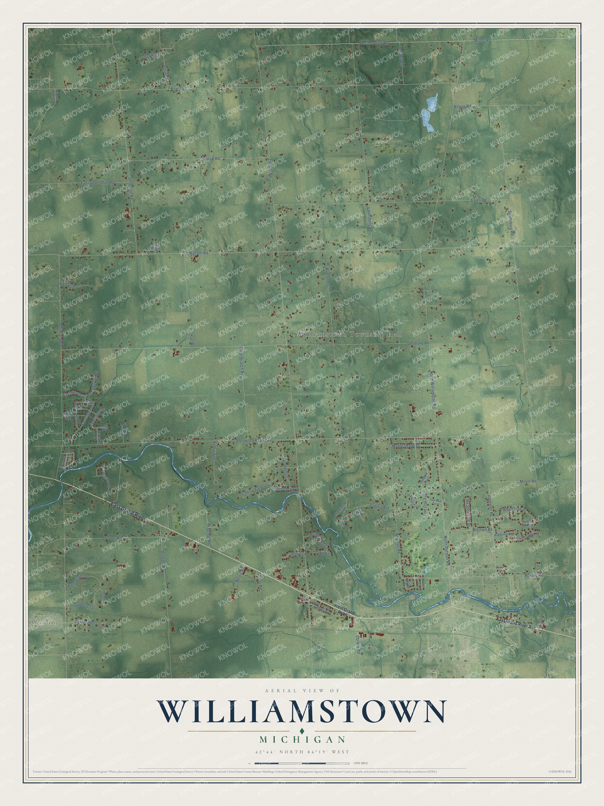
Names on this map
These names are printed on this map.
Places: Williamstown Township Hall and Meridian.
Streets and roads: East Grand River, North Putman Road, Vanneter Road, East Newman Road, Milton Road, West Lovejoy Road, Rowley Road, Zimmer Road, North Williamston Road, Sherwood Road East, Haslett Road, Barry Road.
More street names, A to Z
Agate Way, Barton Road, Beeman Road, Bentley Road, Bridlewood Lane, Burkley Road, Cherry Valle Lane, Corkwood Trail, Corwin Road, Courtside Drive, Cygnet Court, Daggertail Lane, Damon Road, Deer Trail, East Grand River Avenue, East Shoesmith Road, Ebright Road, Epley Road, Forest Glen Drive, Forest Oak Trail, Foster Road, Fruitbelt Lane, Germany Road, Glaser Road, Goldfinch Lane, Golfview Drive, Granite Drive, Green Road, Gulick Road, Hart Road, Harvey Drive, Hiddenview Lane, Jadestone Drive, James Avenue, Joann Lane, Knollridge Lane, Live Oak Trail, Lounsbury Road, Lure Street, Maple Shade Drive, Meadowdale Drive, Meridian Road, Mitchell Road, Monarch Lane, Moyer Road, Norris Road, North Branch Road, Oak Bark Trail, Oliver Drive, Osprey Avenue, Petoskey Drive, Quarton Road, Redbud Trail, Rocky Hill Drive, Rodeo Trail, Ruby Way, Sandstone Drive, Shaftsburg Road, Shoeman Road, Sunrise Drive, Swallowtail Lane, Thatcher Road, Trotters Lane, Turner Road, Twin Ponds Lane, Warbler Way, West Grand River, White Pine Drive, Wild Cherry Drive, Wilfors Drive, Wilgus Road, Zimmer Place.
Created by KNOWOL in 2026. The buildings are small red shapes, the roads carry their printed names, and shaded relief shows the shape of the land. The title panel reads "AERIAL VIEW OF WILLIAMSTOWN, MICHIGAN" with 42°44' NORTH 84°19' WEST.
It suits a den, a classroom or a front hall, and it makes a gift for anyone with Williamstown roots. Open the preview and find the block you know. See sizes and frames for the Williamstown map.