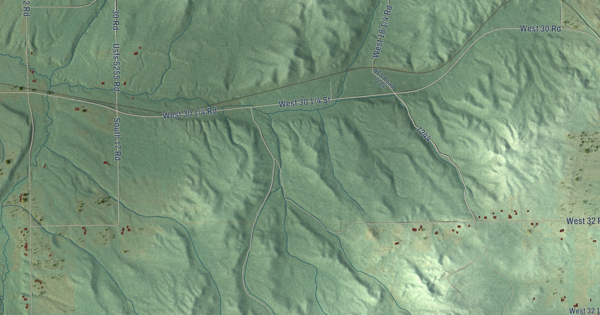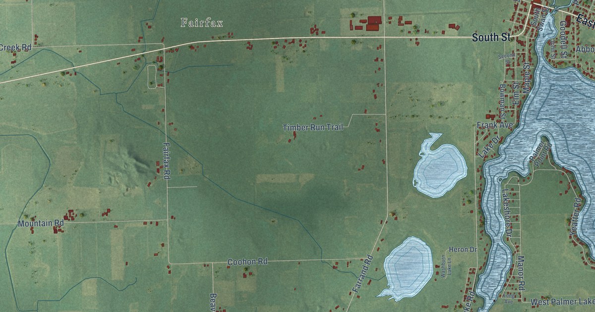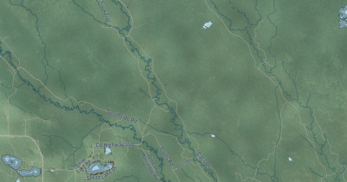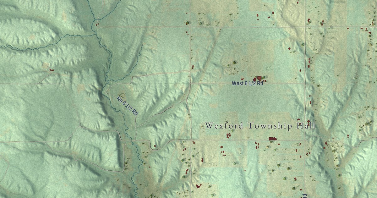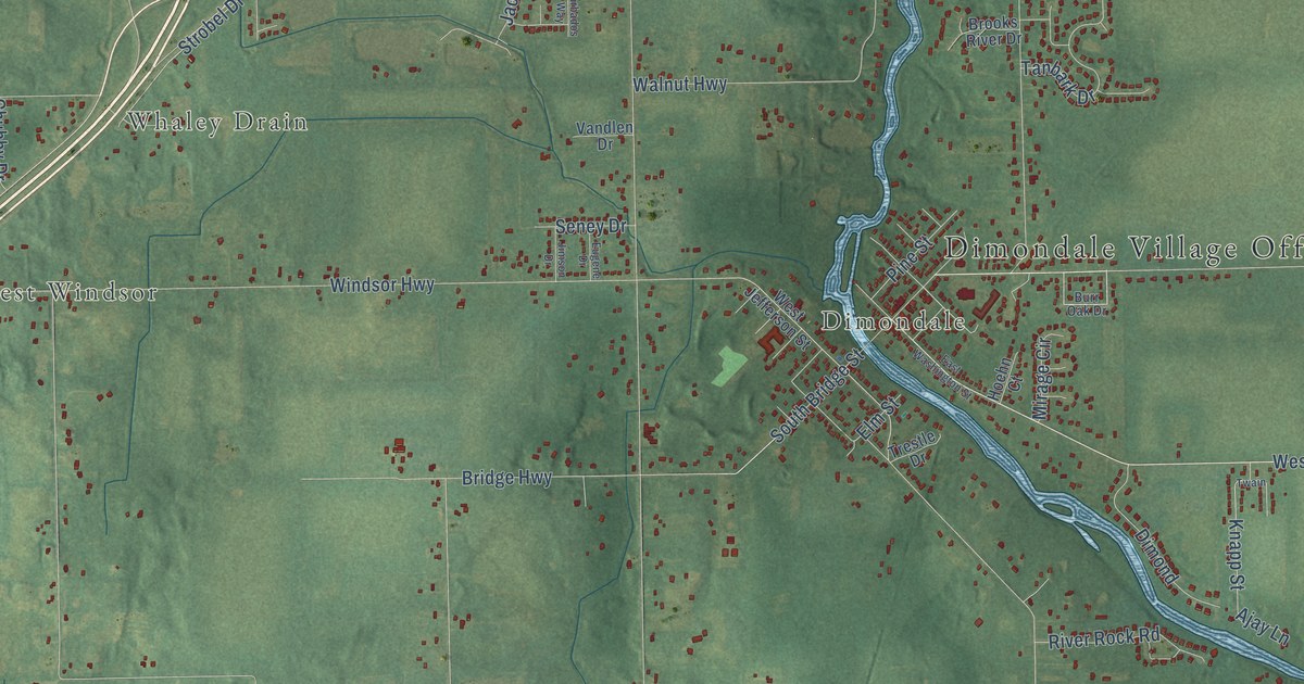
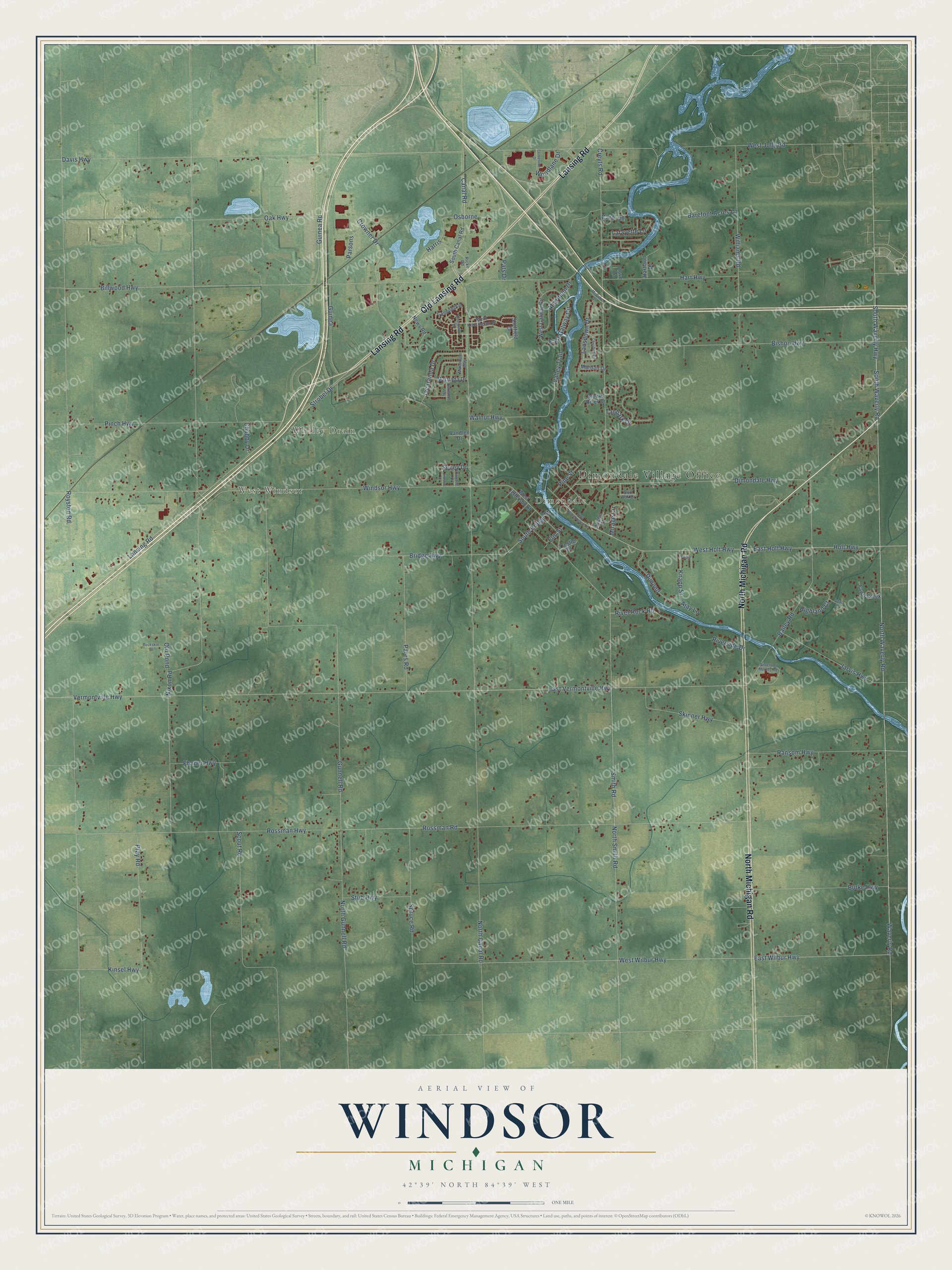
This beautifully detailed map of Windsor, Michigan was created in 2026 using aerial imagery combined with modern topographical, census, street and landmark data. It's a modern aerial view of Windsor in Eaton County, Michigan, that combines modern data with a vintage aesthetic. The roads feature printed names, and if you look closely you can find your exact house accurately shown in its correct location.
Explore an aerial view of Windsor, Michigan
On this map you'll find Dimondale Village Office, West Windsor, Whaley Drain, Dimondale, North Michigan Road, Lansing Road, Old Lansing Road, West Holt Highway, South Waverly Highway, East Wilbur Highway, Holt Highway, East Holt Highway, and more. Each red shape is a building, so zoom in on the preview and look for yours.
Windsor has a story worth telling. The History of Ingham and Eaton Counties puts it this way: "The first three families who settled in Windsor had no previous knowledge of each other, and accident revealed to each the fact that others had settled."
The Census Bureau counted 7,140 people here in 2020.
Take a closer look at the Windsor map
Names on this map
These names are printed on this map.
Places: Dimondale Village Office, West Windsor, Whaley Drain and Dimondale.
Streets and roads: North Michigan Road, Lansing Road, Old Lansing Road, West Holt Highway, South Waverly Highway, East Wilbur Highway, Holt Highway, East Holt Highway, Waverly Road, West Wilbur Highway, Strobel Drive, Knapp Street.
More street names, A to Z
Aberdeen Drive, Ajay Lane, Bailey Road, Barbados Way, Barefoot Acres Lane, Billwood Highway, Bishop Highway, Bridge Highway, Brooks River Drive, Buckskin Court, Burke Highway, Burr Oak Drive, Cambridge Drive, Canal Road, Carol Lane, Centerline Drive, Cheshire Drive, Chubby Drive, Creyts Road, Crowner Drive, Davis Highway, Devonshire Drive, Dimond, Dimondale Highway, Dove Lane, East Galway Circle, East Vermontville Highway, East Washington Street, Elm Street, Eugene Drive, Fawn Creek, Fhaner Highway, Guinea, Guinea Road, Gunnell Road, Harris, Hart Highway, Hartland Drive, Highland Court, Hoehn Court, Isaac Lane, Jacaranda Drive, Jarvis Highway, Jimson Drive, Kinsel Highway, Lafayette Lane, Lansdown Drive, Macadam Way, Mardan Drive, Mattrada Drive, McCabe Drive, Mirage Circle, News Road, Nixon Road, North Canal Road, North Gunnell Road, North Kensington Drive, North Smith Road, North Waverly Road, Oak Highway, Old Pond, Osborne, Pares Road, Parsons, Pats Drive, Pinch Highway, Pine Street, Pray Road, Ransom Highway, Ricks Road, River Rock Road, Riverside Drive, Rossman Highway, Rossman Road, Royston Road, Scout Road, Seney Drive, Sheffield Drive, Sisters of Mercey Road, Skinner Highway, Smith Road, South Bridge Street, South Canal Road, South Waverly Road, Spruce Road, Stub Highway, Tanbark Drive, Trestle Drive, Twain, Valley Trail, Vandlen Drive, Vermontville Highway, Walnut Highway, West Galway Circle, West Jefferson Street, West Jolly Road, Williams Road, Windsor Highway, Woodlane Drive.
Created by KNOWOL in 2026. The buildings are small red shapes, the roads carry their printed names, and shaded relief shows the shape of the land. The title panel reads "AERIAL VIEW OF WINDSOR, MICHIGAN" with 42°39' NORTH 84°39' WEST.
It looks right in a kitchen, an office or a den, and it's a gift for anyone who grew up in Windsor or moved away. Open the preview and find your street. See sizes and frames for the Windsor map.