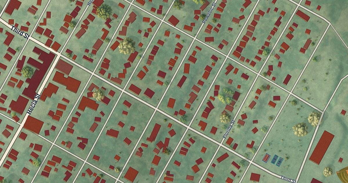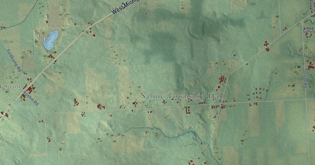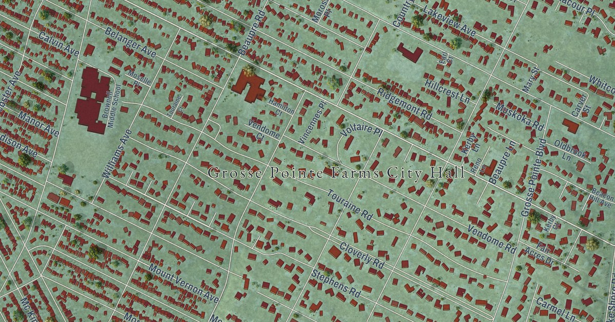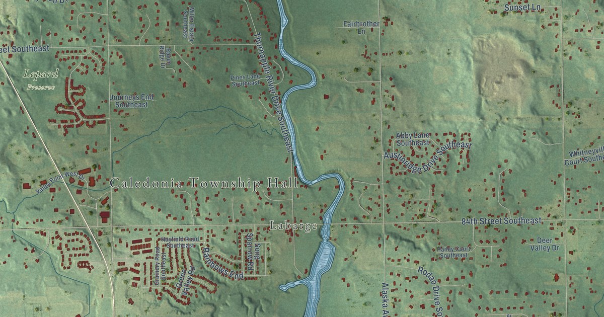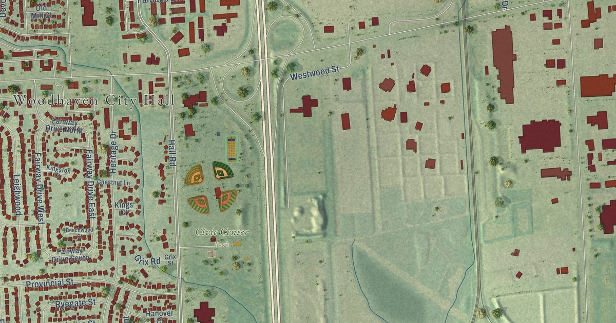
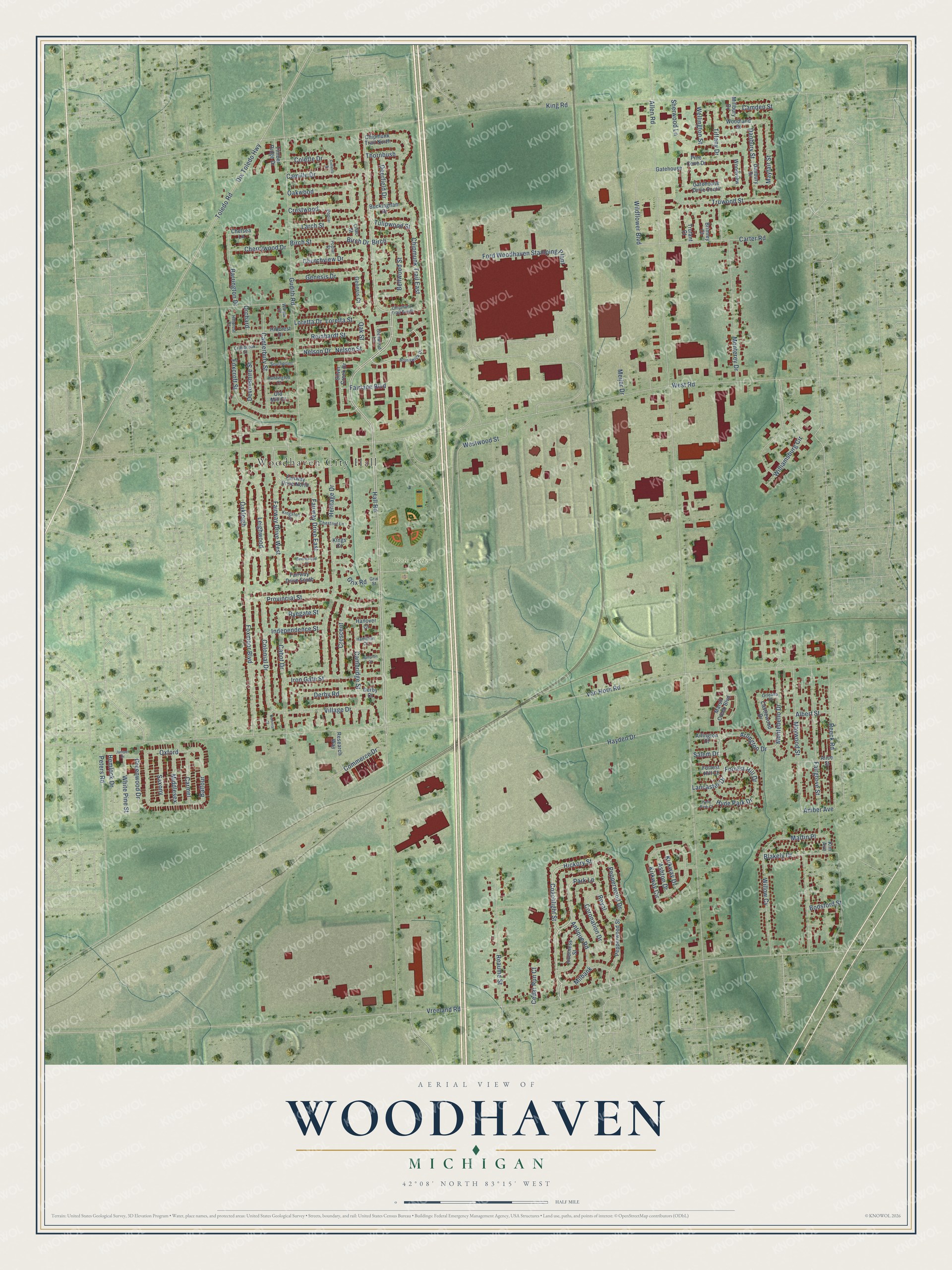
This beautifully detailed map of Woodhaven, Michigan was created in 2026 using aerial imagery combined with modern topographical, census, street and landmark data. It's a modern aerial view of Woodhaven in Wayne County, Michigan, that combines modern data with a vintage aesthetic. The roads feature printed names, and if you look closely you can find your exact house accurately shown in its correct location.
Explore an aerial view of Woodhaven, Michigan
On this map you'll find Woodhaven City Hall, Civic Center Park, Hall Road, Coachlight Street, Hickory Street, Park Lane, Arlington Drive, Birch, Martin Place, Forrest Hill Drive, Village Drive, Wildflower Boulevard, and more. Each red shape is a building, so zoom in on the preview and look for yours.
Woodhaven is a city in Wayne County. The Census Bureau counted 12,941 people here in 2020. The map prints the town name in its title panel, with the coordinates below it.
Take a closer look at the Woodhaven map
Names on this map
These names are printed on this map.
Places: Woodhaven City Hall and Civic Center Park.
Streets and roads: Hall Road, Coachlight Street, Hickory Street, Park Lane, Arlington Drive, Birch, Martin Place, Forrest Hill Drive, Village Drive, Wildflower Boulevard, Blakely Drive, Amber Avenue.
More street names, A to Z
Albert Street, Alice Street, Allen Road, Antique Road, Arlington Court, Ashton Drive, Balfour, Barrington Drive, Beechwood Court, Bellwood Street, Birch Drive, Birch Street, Bodsford Street, Brimley Court, Brunswick Drive, Buckingham Drive, Cabot Drive, Cambridge Street, Camden Street, Camille Drive, Canterbury Street, Carmel, Carter Road, Castlewood Drive, Cedar Run Court, Chelsea Lane, Cherrywood Drive, Chestnut Lane, Chipmunk Trail East, Chipmunk Trail North, Chipmunk Trail South, Churchview Drive, Colette Drive, Collette Street, Colonial Court, Colonial Drive, Commerce Drive, Coronation Drive, Cranbrook Street, Crescent, Crestwood, Danbury Drive, Danbury Street, Deerfield Drive, Derby Court, Derby Road, Devonshire Street, Dix Toledo Highway, Fairgrove Street, Fairlane Boulevard, Fairway Drive East, Fairway Drive North, Fairway Drive South, Fairway Drive West, Ford Woodhaven Stamping Plant, Forrest Hill Court, Foxcroft Street, Foxmoor Boulevard, Gatehouse, Gatehouse Drive South, Genesis Court, Genesis Drive, Glenwood Lane, Greenwood Drive, Grix Road, Grix Street, Gudith Road, Hamilton Court, Hampton Court, Hanover Court, Hayden Drive, Hemlock Drive, Heritage Drive, Hillcrest Court, Hillcrest Drive, Huntington Court, Hyde Park Court, Hyde Park Drive, Independence Street, Inverness Street, Iron Gate Street, Juniper Drive, Kim Avenue, King Road, Kings Court, Kingston Court, Kirkway Circle, Kirkway Drive, Lancaster Drive, Larch Street, Leighwood, Lilac Street, Loretta Drive, Loretta Street, Marsh Creek Boulevard, Mayfair Street, Maywood Street, Meijer Drive, Middlesex, Milbank, Millbury Drive, Montebello Drive, Monterey Drive, Nelson Drive, Nelson Street, Oakleigh, Oak Street, Oakwood, Old Mill Court, Orchard, Orleans Place, Oxford, Pepperwood Drive, Pepperwood Street, Peters Road, Pine Cone Drive, Poplar, Poplar Street, Provincial Street, Reaume Street, Reeck Road, Reinhardt Street, Research Way, Royal, Ryegate Street, Salem Drive, Saxony, Sherwood Lane, Silver Creek Drive, Southpoint, Thornbush, Tiffany Drive, Timber Ridge Drive, Toledo Road, Trufant Court, Truwood Street, Tulipwood Street, Van Horn Road, Vreeland Road, Wellington Street, West Road, Westwood Street, White Pine Street, Williamsburg Circle, Willow Court, Willow Cv, Woodland Street, Woodview.
Created by KNOWOL in 2026. The buildings are small red shapes, the roads carry their printed names, and shaded relief shows the shape of the land. The title panel reads "AERIAL VIEW OF WOODHAVEN, MICHIGAN" with 42°08' NORTH 83°15' WEST.
It suits a den, a classroom or a front hall, and it makes a gift for anyone with Woodhaven roots. Open the preview and find the block you know. See sizes and frames for the Woodhaven map.