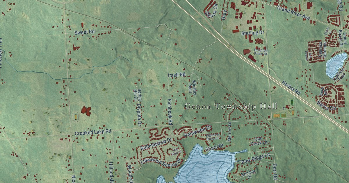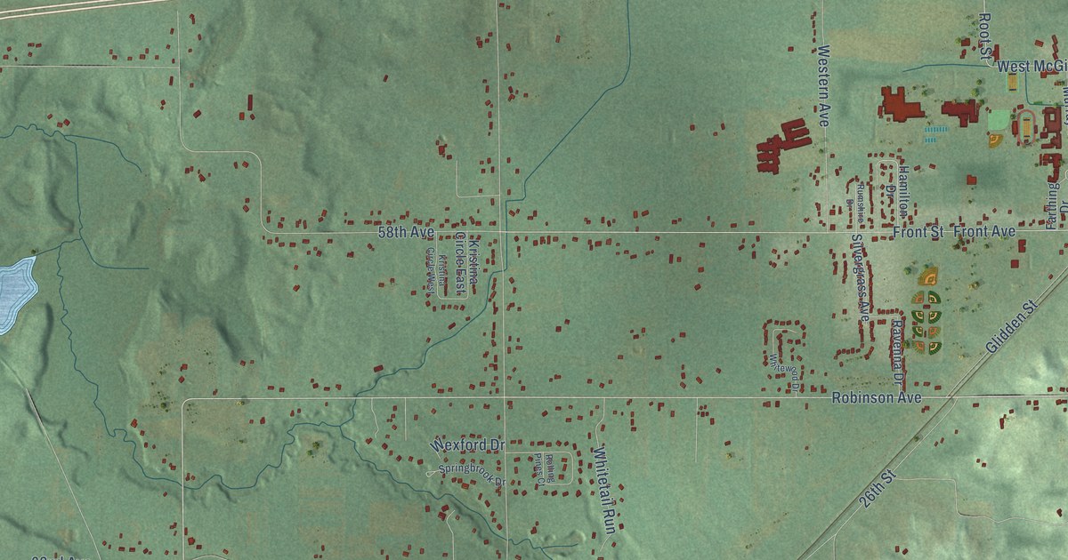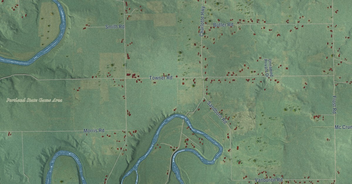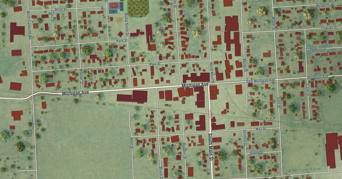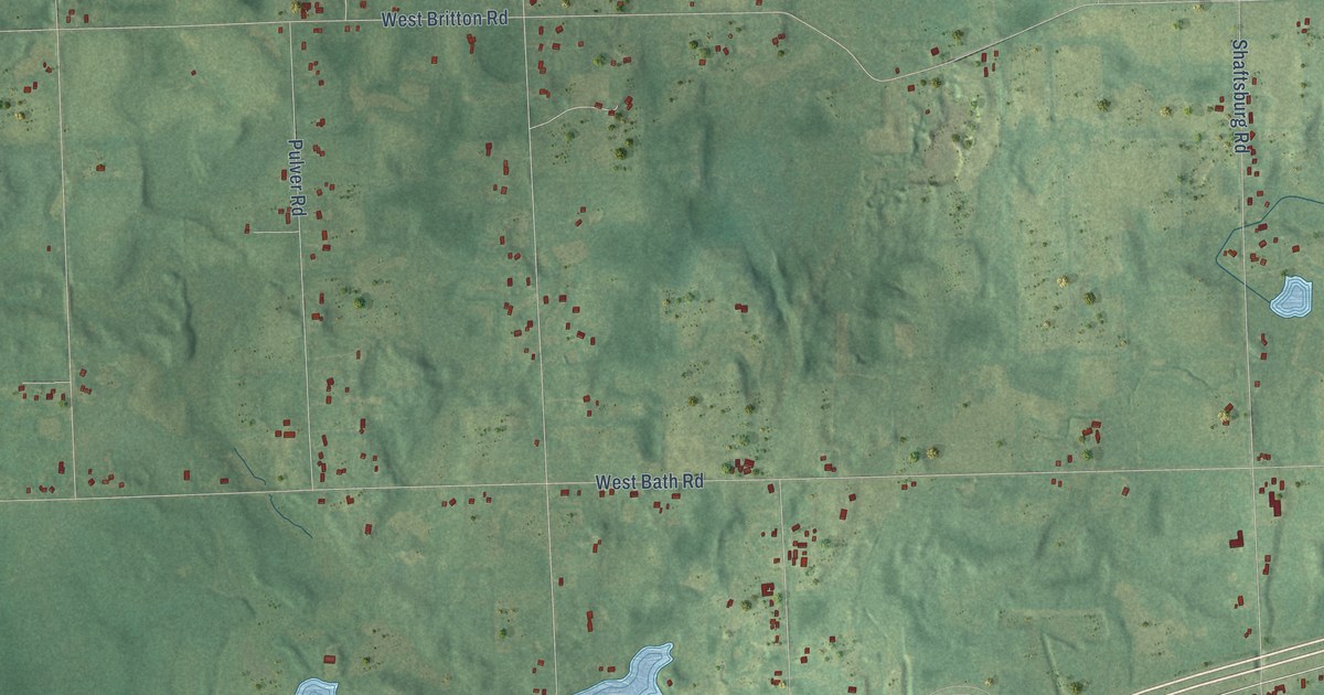
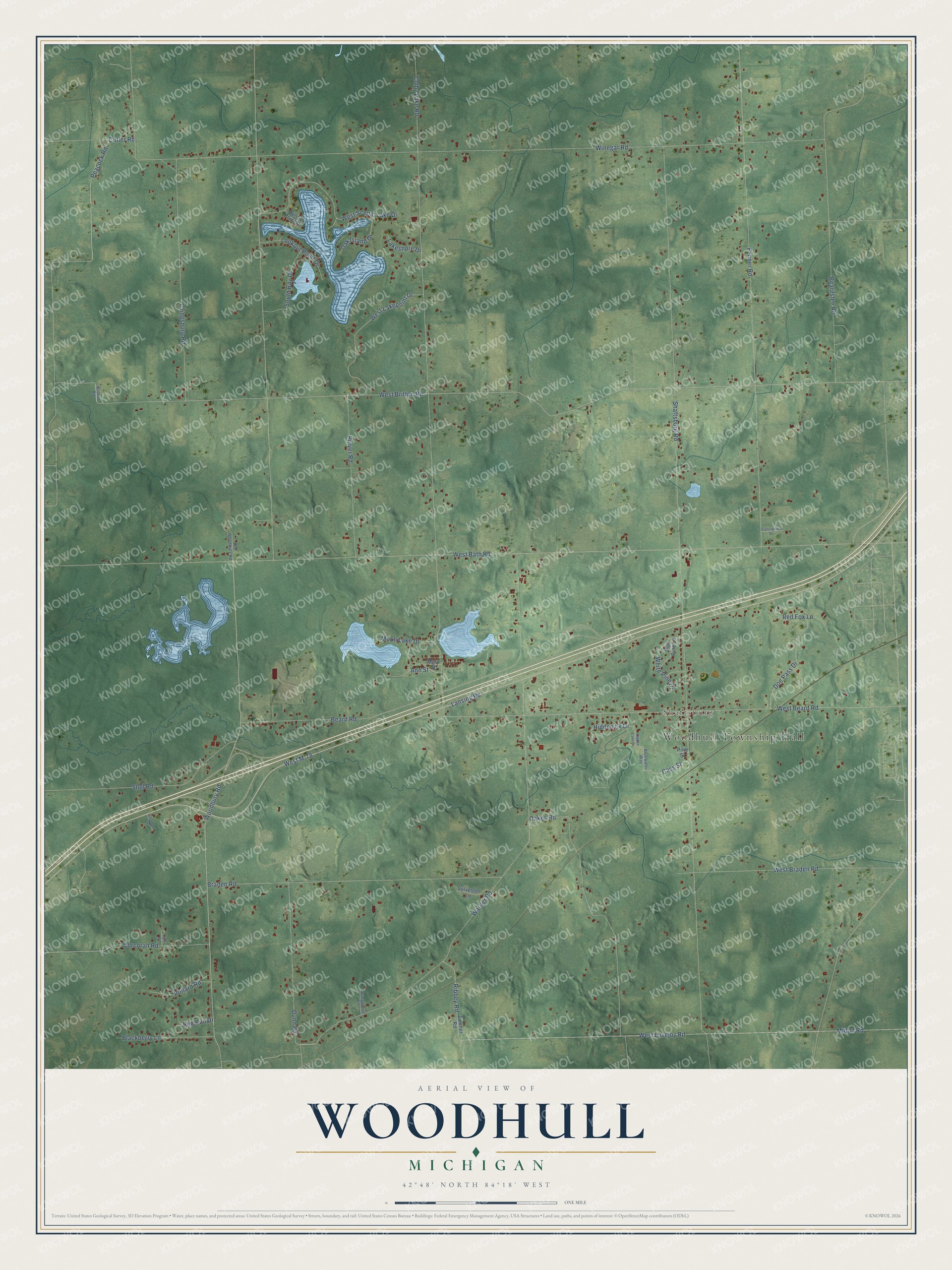
This beautifully detailed map of Woodhull, Michigan was created in 2026 using aerial imagery combined with modern topographical, census, street and landmark data. It's a modern aerial view of Woodhull in Shiawassee County, Michigan, that combines modern data with a vintage aesthetic. The roads feature printed names, and if you look closely you can find your exact house accurately shown in its correct location.
Explore an aerial view of Woodhull, Michigan
On this map you'll find Woodhull Township Hall, Shaftsburg, Lansing Road, West M-78, Warner Road, Woodbury Road, Peacock Road, Shaftsburg Road, West Britton Road, West Bath Road, Winegar Road, Colby Lake Road, and more. Each red shape is a building, so zoom in on the preview and look for yours.
Woodhull has a story worth telling. The History of Shiawassee and Clinton Counties puts it this way: "The township of Woodhull was named in honor of the family of Joseph Woodhull, whose members were its first settlers. At the time of its organization, it embraced, in addition to its present territory, that which is now comprised within the limits of the township of Sciota, that township having been set off from it Feb. 16, 1842."
The Census Bureau counted 3,687 people here in 2020.
Take a closer look at the Woodhull map
Names on this map
These names are printed on this map.
Places: Woodhull Township Hall and Shaftsburg.
Streets and roads: Lansing Road, West M-78, Warner Road, Woodbury Road, Peacock Road, Shaftsburg Road, West Britton Road, West Bath Road, Winegar Road, Colby Lake Road, Fenner Road, West Beard Road.
More street names, A to Z
Ann Street, Beard Road, Beardslee Road, Blackberry Lane, Bluewater Way, Braden Road, Britton Road, Cass Street, Chamber Lane, Corcoran Road, Crosswinds Drive, Cutler Road, Doe Pass Drive, Dunn Road, Gracewood Lane, Hidden Lake Drive, Hidden Lk Drive, Kyle Road, Laingsburg Road, Lakeshore Drive, Lookout Point Drive, Mary Street, Milton Road, Moon Lake Drive, Oakes Road, Oak Island Drive, Old Woodbury Road, Pine Street, Pollard Road, Pulver Road, Red Bud Drive, Red Fox Lane, Red Pine Lane, Ribbey Road, South Bay Drive, Stoll Road, Sunny Point Drive, Sylvester Lane, West Braden Road, West Lakepoint Drive, West Lovejoy Road, West Scenic Lake Drive, White Pine Drive, Zimmer Road.
Created by KNOWOL in 2026. The buildings are small red shapes, the roads carry their printed names, and shaded relief shows the shape of the land. The title panel reads "AERIAL VIEW OF WOODHULL, MICHIGAN" with 42°48' NORTH 84°18' WEST.
It looks right in a kitchen, an office or a den, and it's a gift for anyone who grew up in Woodhull or moved away. Open the preview and find your street. See sizes and frames for the Woodhull map.