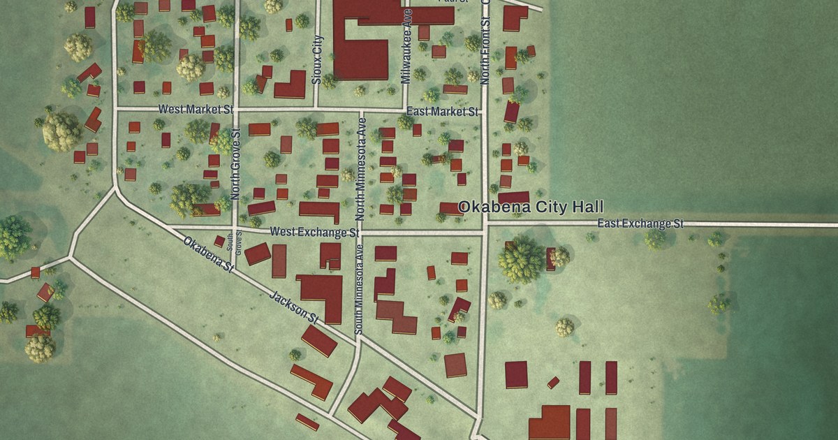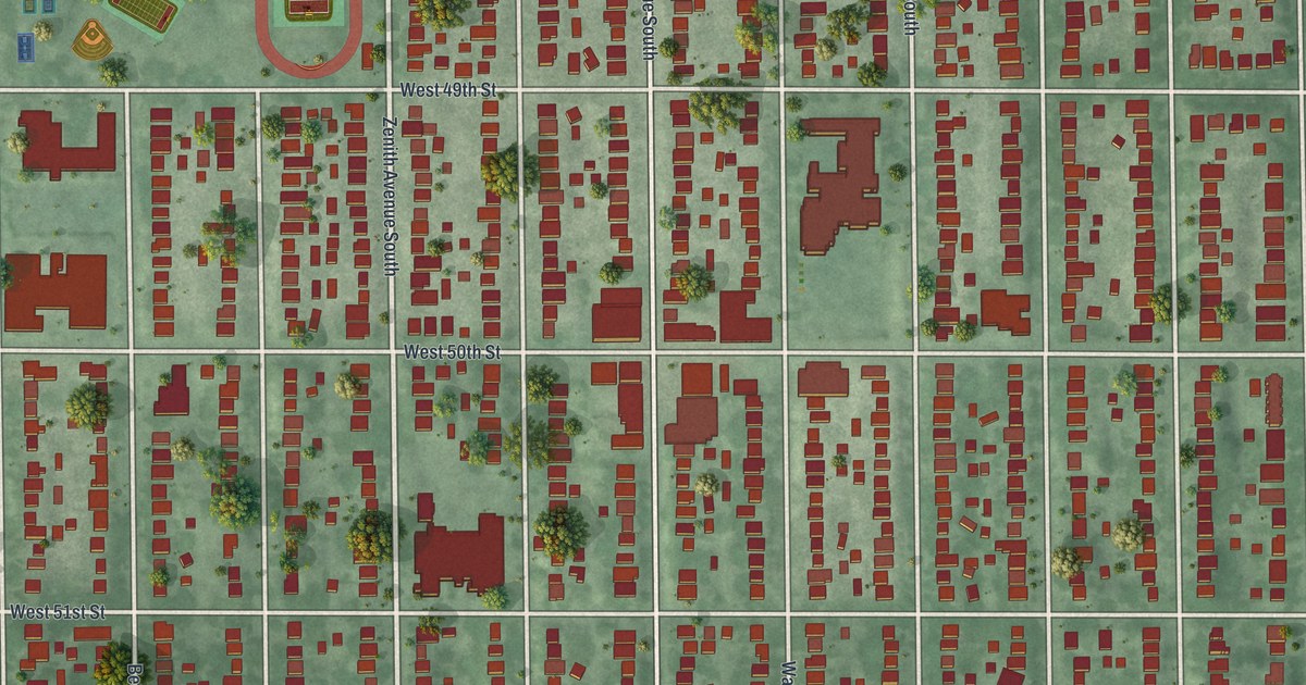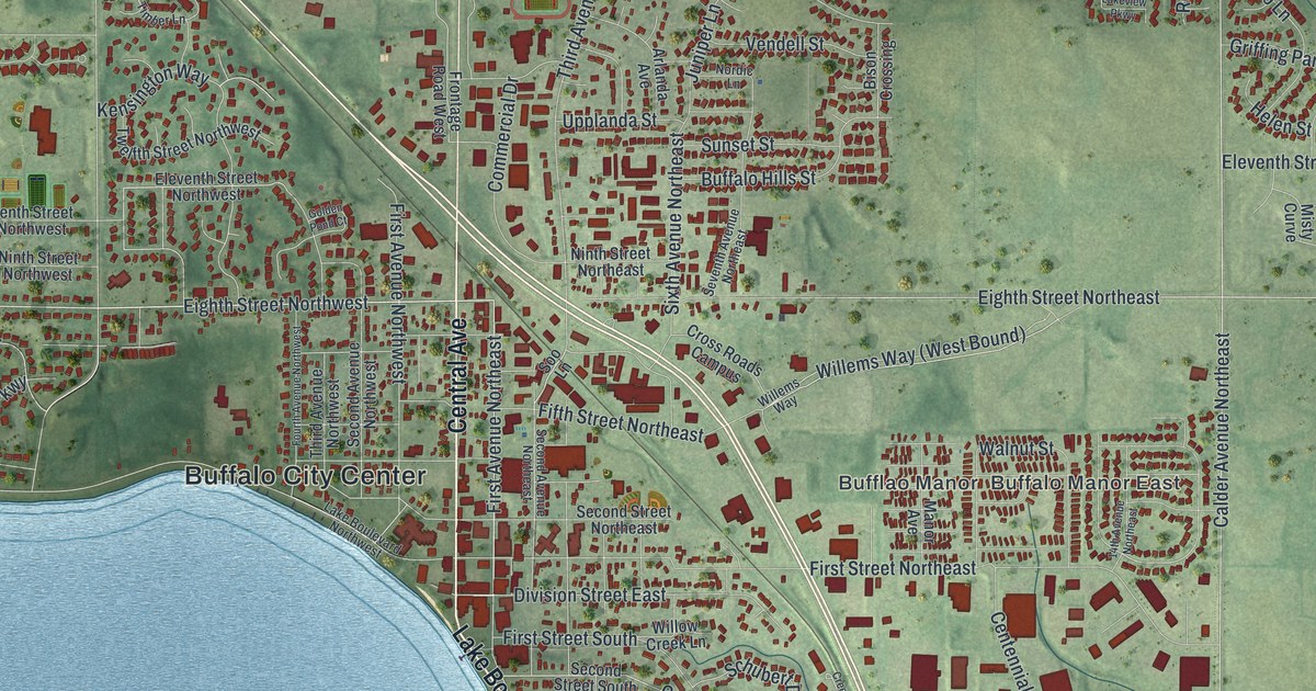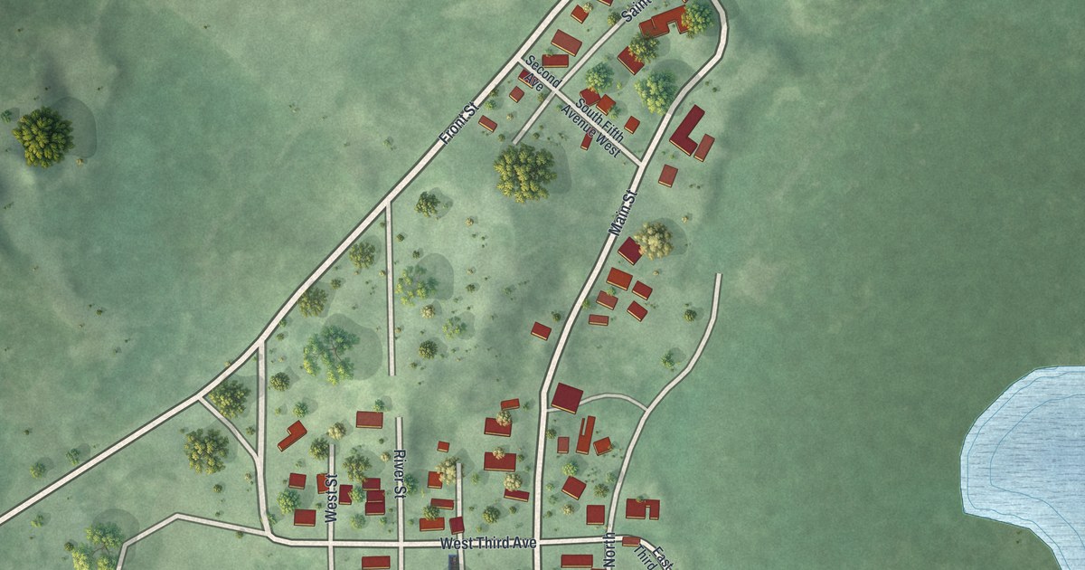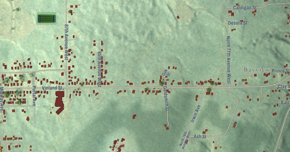
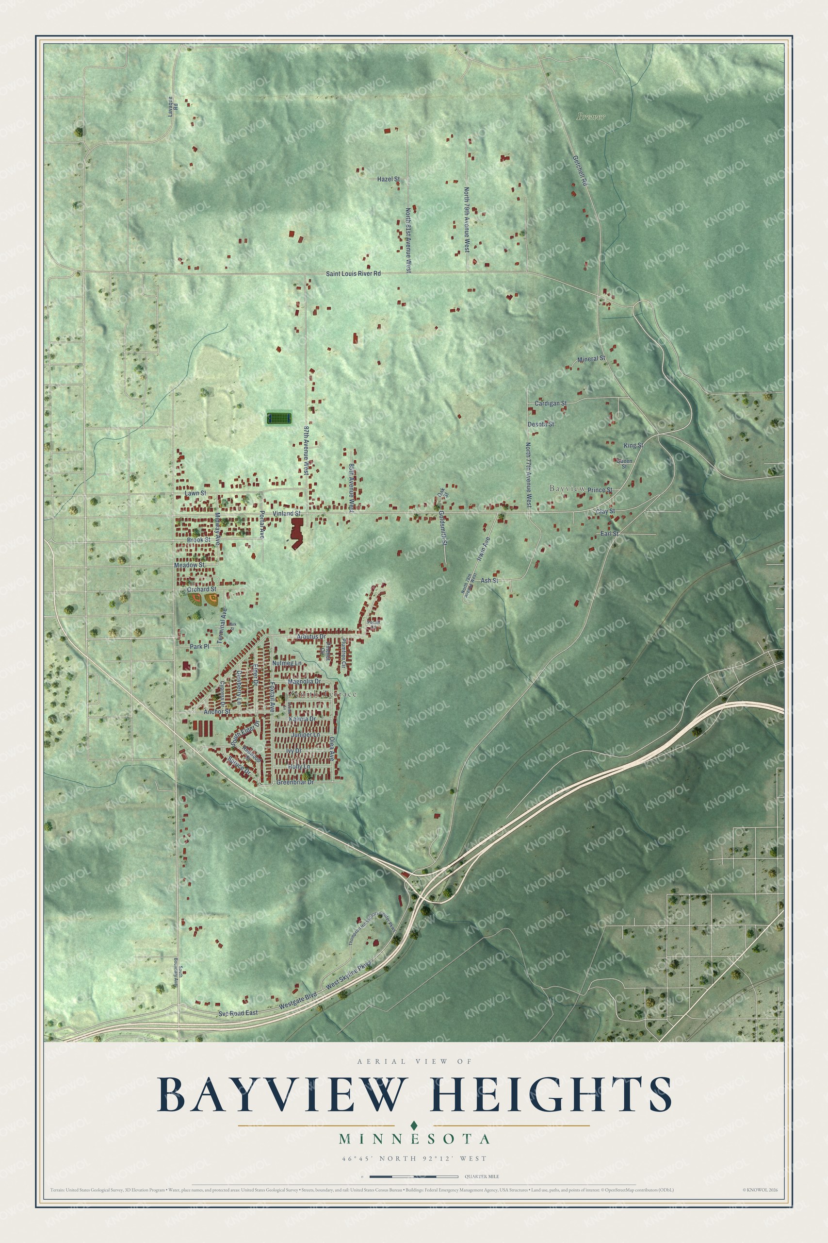
This beautifully detailed map of Bayview Heights, Minnesota was created in 2026 using aerial imagery combined with modern topographical, census, street and landmark data. It’s a one-of-a-kind view of Bayview Heights that combines accurate data with a vintage aesthetic. The map shows every building in its true location, many of the roads carry their names, and the shaded topographic relief shows the shape of the land.
Explore an aerial view of Bayview Heights, Minnesota
On the map you’ll find Bayview and Brewer, along with Zenith Terrace, West Skyline Parkway, Brook Street, Vinland Street, Meadow Street, Saint Louis River Road, Getchell Road, North 77th Avenue West, Arbutus Drive, Westgate Boulevard, and more. If you look closely you can even find your house accurately drawn in its correct location. Zoom in on the preview to look for yours.
Take a closer look at the Bayview Heights map
Names on this map
These names are printed on this map.
Places: Zenith Terrace, Bayview and Brewer.
Streets and roads: West Skyline Parkway, Brook Street, Vinland Street, Meadow Street, Saint Louis River Road, Getchell Road, North 77th Avenue West, Arbutus Drive, Westgate Boulevard, Svc Road East, 87th Avenue West, North 81st Avenue West.
More street names, A to Z
85th Avenue West, Anchor Street, Ash Street, Cardigan Street, Clay Street, Cypress Drive, Desota Street, Dewberry Lane, Earl Street, Elder Drive, Foxtail Avenue, Goldsmith Street, Greenbriar Drive, Hazel Street, Holly Lane, Irwin Avenue, Ivy Drive, Juniper Lane, Kalmia Drive, King Street, Lavaque Road, Lawn Street, Magnolia Drive, Midway Avenue, Mineral Street, North 78th Avenue West, North 79th Avenue West, Nutmeg Lane, Oak Street, Olea Avenue, Orchard Street, Park Place, Park Street, Pecan Lane, Pinenut Circle, Plumtree Circle, Portal Avenue, Prince Street, Queen Street, Redwood Drive, Scotch Lane, South Boundary Avenue, South Elder Drive, Spruce Drive, Terminal Avenue, Thompson Hill Visitors Center Parkway.
See it on a wall
The Bayview Heights map as a framed print. Swipe for more.


This beautifully detailed map of Bayview Heights makes an attractive addition to your office, library, or den, and it can even be used to teach children the geography and history of the area. It also makes a great gift for someone who left Bayview Heights and still calls it home. When you’re done exploring, click here to get your copy of the Bayview Heights map.