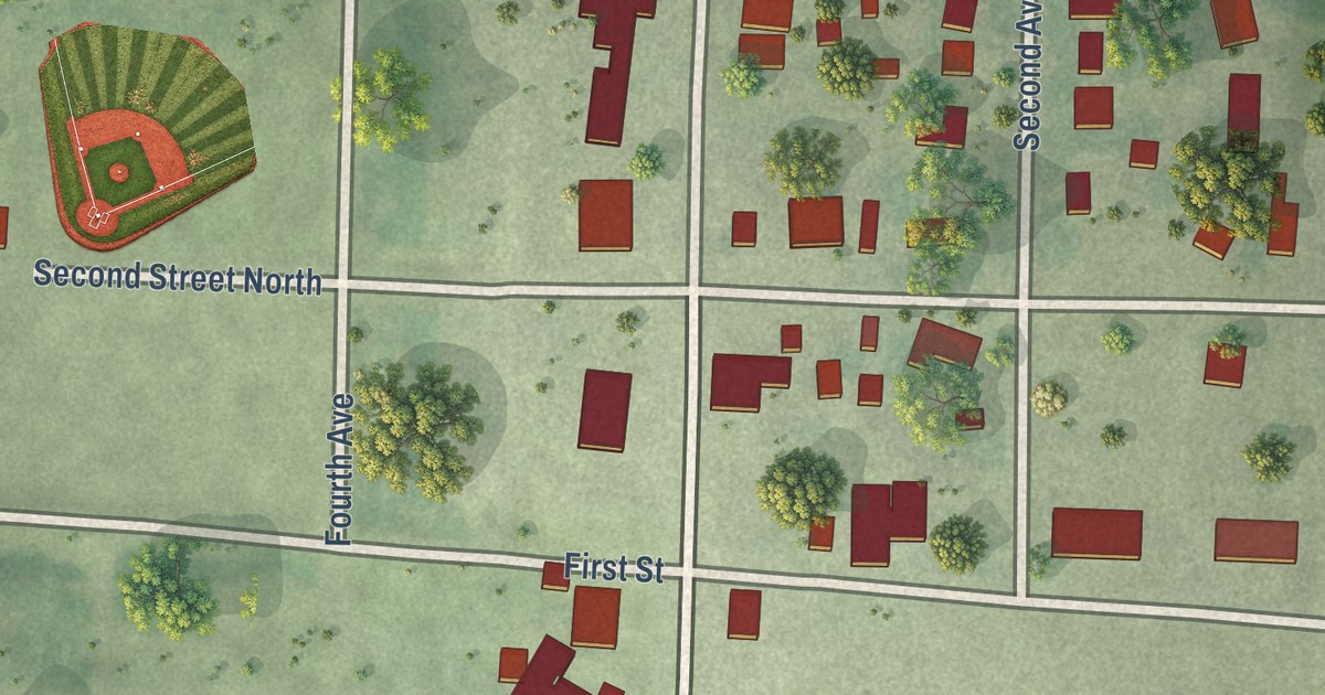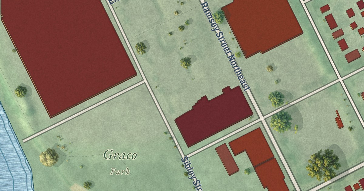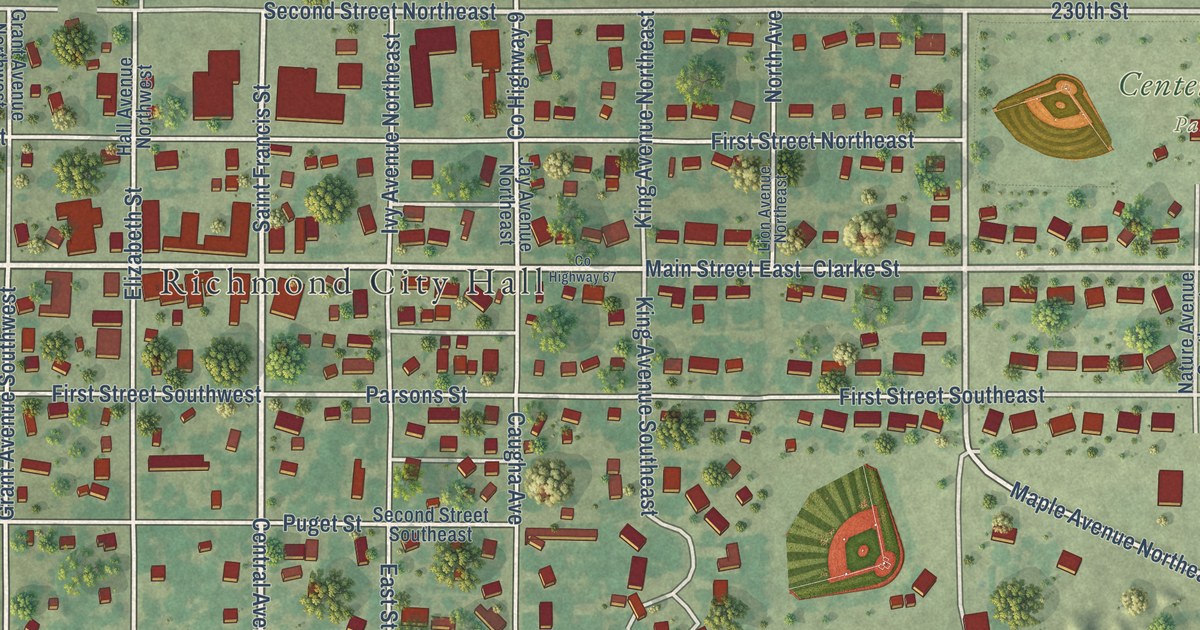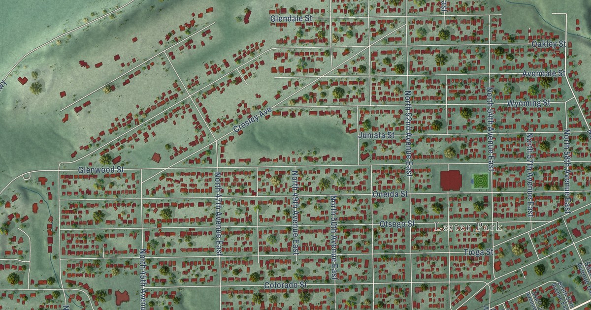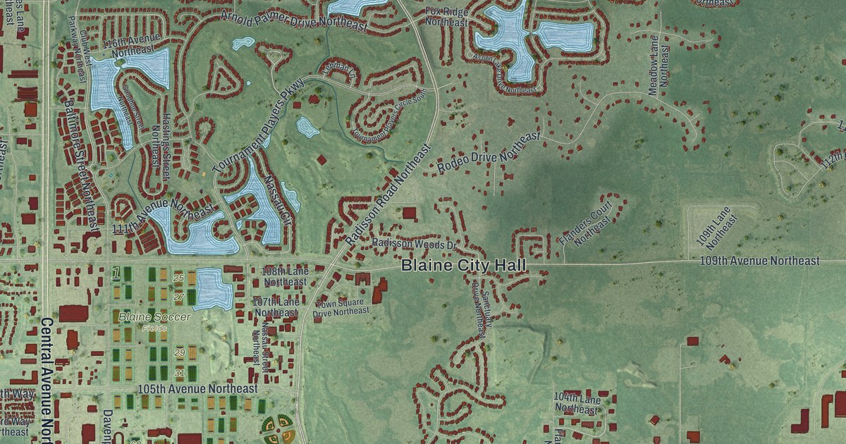
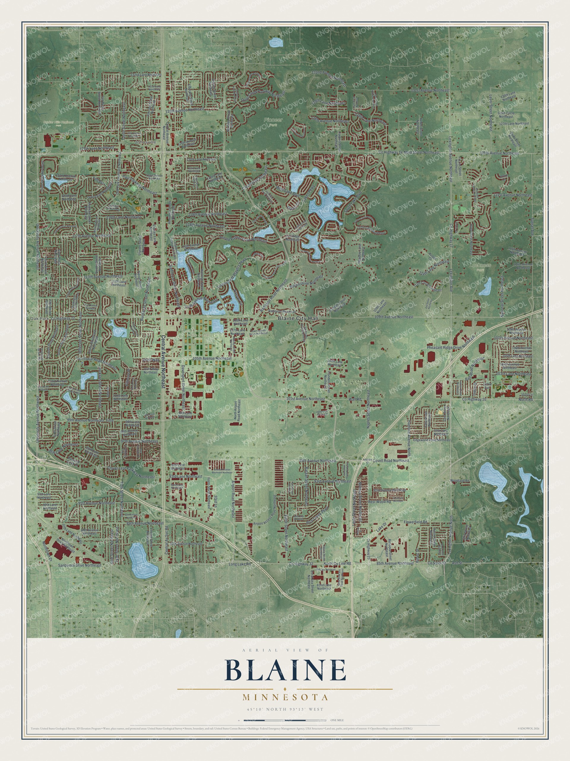
This beautifully detailed map of Blaine, Minnesota was created in 2026 using aerial imagery combined with modern topographical, census, street and landmark data. It’s a one-of-a-kind view of Blaine that combines accurate data with a vintage aesthetic. The map shows every building in its true location, many of the roads carry their names, and the shaded topographic relief shows the shape of the land.
Explore an aerial view of Blaine, Minnesota
On the map you’ll find Blaine City Hall, Oak Park, Johnsville, Aquatore Park, Blaine Soccer Fields, Bunker Hills Regional Park, Lochness Park, and Pioneer Park, along with Central Avenue Northeast, Radisson Road Northeast, County Highway 17, 101st Avenue Northeast, and more. If you look closely you can even find your house accurately drawn in its correct location. Zoom in on the preview to look for yours.
Did you know this piece of Blaine, Minnesota history?
From Warren Upham’s 1920 Minnesota Geographic Names: "Blaine township, settled in 1862, was the east part of Anoka until 1877, when it was separately organized and was named in honor of James Gillespie Blaine, a prominent Republican statesman of Alaine."
Take a closer look at the Blaine map
Street and place names on the Blaine, Minnesota map
These names are printed on the map of Blaine, Minnesota.
Places: Blaine City Hall, Oak Park, Johnsville, Aquatore Park, Blaine Soccer Fields, Bunker Hills Regional Park, Lochness Park and Pioneer Park.
Streets and roads: Central Avenue Northeast, Radisson Road Northeast, County Highway 17, 101st Avenue Northeast, Naples Street Northeast, Lexington Avenue North, 95th Avenue Northeast, Co Saint 32, County Highway 10, North Road, Lovell Road Northeast, Ash Street.
More street names, A to Z
82nd Lane Northeast, 84th Lane Northeast, 85th Avenue Northeast, 87th Avenue Northeast, 87th Lane Northeast, 88th Avenue Northeast, 89th Avenue Northeast, 89th Lane Northeast, 90th Avenue Northeast, 90th Lane Northeast, 91st Avenue Northeast, 91st Court Northeast, 91st Lane Northeast, 92nd Avenue Northeast, 92nd Lane Northeast, 93rd Avenue Northeast, 93rd Lane, 93rd Lane Northeast, 94th Lane Northeast, 95th Lane Northeast, 96th Lane Northeast, 97th Avenue Northeast, 97th Lane Northeast, 98th Avenue Northeast, 98th Lane Northeast, 99th Avenue Northeast, 99th Court Northeast, 99th Lane Northeast, 100th Court Northeast, 101st Lane, 101st Lane Northeast, 102nd Avenue, 102nd Lane Northeast, 103rd Avenue Northeast, 103rd Lane Northeast, 103rd Way Northeast, 104th Avenue Northeast, 104th Lane Northeast, 104th Way, 105th Avenue Northeast, 105th Lane Northeast, 106th Avenue Northeast, 107th Avenue Northeast, 107th Lane Northeast, 108th Avenue Northeast, 108th Lane Northeast, 109th Avenue Northeast, 109th Lane Northeast, 110th Avenue Northeast, 111th Avenue Northeast, 112th Circle Northeast, 112th Lane Northeast, 113th Avenue Northeast, 114th Avenue Northeast, 114th Lane Northeast, 115th Avenue Northeast, 116th Avenue Northeast, 117th Avenue Northeast, 117th Lane Northeast, 118th Avenue Northeast, 118th Circle Northeast, 118th Lane Northeast, 119th Avenue Northeast, 119th Circle Northeast, 120th Lane Northeast, 121st Avenue Northeast, 122nd Avenue Northeast, 122nd Lane Northeast, 123rd Avenue Northeast, 123rd Lane, 123rd Lane Northeast, 124th Lane Northeast, 125th Avenue Northeast, 125th Lane Northeast, 126th Avenue Northeast, 127th Avenue Northeast, 127th Lane Northeast, 128th Avenue Northeast, 128th Circle Northeast, 128th Lane Northeast, 129th Avenue Northeast, 129th Lane Northeast, 130th Lane Northeast, 131st Avenue Northeast, 131st Lane Northeast, 132nd Avenue Northeast, 132nd Lane Northeast, Aberdeen Street Northeast, Able Street, Able Street Northeast, Airport Access Road Northeast, Airport Road Northeast, Alamo Circle, Alamo Street Northeast, Arnold Palmer Drive Northeast, Aspen Lake Drive Northeast, Austin Court, Austin Street Northeast, Ball Road Northeast, Baltimore Street Northeast, Bataan Street Northeast, Brant Street Northeast, Buchanan Street Northeast, Central Av Svc Road, Cloud Drive Northeast, Clover Leaf Parkway Northeast, Club West Parkway Northeast, Coral Sea Street Northeast, Cord Street Northeast, County Highway 12, County Highway 14, County Highway 23, County Highway 32, Davenport Street Northeast, Duke Drive Northeast, East Sandpiper Drive, Edgewood Road Northeast, Edison Street Northeast, Eldorado Street Northeast, Erskin Circle, Fergus Street Northeast, Fifth, Fifth Avenue, Fifth Street Northeast, Fillmore Place, Fillmore Street Northeast, Flanders Court Northeast, Flanders Street Northeast, Flowerfield Road, Fourth Street Northeast, Fox Ridge Northeast, Fraizer Street Northeast, Frazier Street Northeast, General Aviation Boulevard Northeast, Ghia Street Northeast, Goodhue Street Northeast, Hamline Avenue North, Harpers Street Northeast, Hastings Street Northeast, Hupp Street Northeast, Isanti Street Northeast, Isetta Street, Jackson Street Northeast, Jamestown Street Northeast, Jefferson Street Northeast, Jenkins Street Northeast, Johnson Street Northeast, Lake Drive, Lakes Parkway, Legacy Creek Parkway Northeast, Lehman Lane, Lever Street Northeast, Lexington Avenue, Lexington Avenue Northeast, Leyte Circle Northeast, Leyte Street Northeast, Lincoln Street Northeast, Long Lake Road, Madison Street Northeast, Main Street Northeast, Mankato Street Northeast, Meadow Lane Northeast, Midway Street, Midway Street Northeast, Monroe Street Northeast, Naples Circle Northeast, Nassau Circle, Nassau Street Northeast, National Street Northeast, North Airport Road Northeast, North County Line Road, Northtown Drive, Northtown Drive Northeast, Oak Park Boulevard Northeast, Oak Park Drive Northeast, Oak Ridge Trail Northeast, Owatonna Street Northeast, Palisade Street Northeast, Paul Parkway Northeast, Pheasant Ridge Drive Northeast, Pierce Place Northeast, Pierce Street Northeast, Pleasure Creek Drive, Pleasure Creek Parkway West, Polk Street Northeast, President Drive Northeast, Quail Creek Parkway Northeast, Quincy Boulevard Northeast, Quincy Street Northeast, Quito Street Northeast, Radisson Road, Radisson Woods Drive, Rendova Street Northeast, Rest Wood Road, Rice Creek Parkway, Rodeo Drive Northeast, Sanburnol Drive Northeast, Sanctuary Drive Northeast, Seventh Street Northeast, Sixth Place Northeast, Sixth Street Northeast, South Lake Boulevard, Sunset Avenue, Taylor Street Northeast, Terrace Road Northeast, Territorial Road Northeast, Third Street Northeast, Tournament Players Circle South, Tournament Players Parkway, Town Square Drive Northeast, Tyler Street Northeast, Ulysses Lane Northeast, Ulysses Street Northeast, University Avenue Northeast, University Avenue Northwest, University Av Svc Road, Van Buren Street Northeast, Vermillion Street Northeast, Wall Road, Washington Street Northeast, West Lake Boulevard, West Sandpiper Drive, Woodland Parkway Northeast, Woodland Road, Xebec Street, Xebec Street Northeast, Xylite Street Northeast, Yalta Street Northeast, Yancy Street Northeast, Zest Street Northeast.
See the Blaine, Minnesota map on a wall
The Blaine map as an 18 x 24 inch print in a black frame.

This beautifully detailed map of Blaine makes an attractive addition to your office, library, or den, and it can even be used to teach children the geography and history of the area. It also makes a great gift for anyone with Blaine roots. When you’re done exploring, click here to get your copy of the Blaine map.