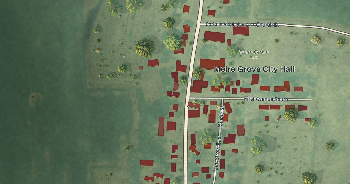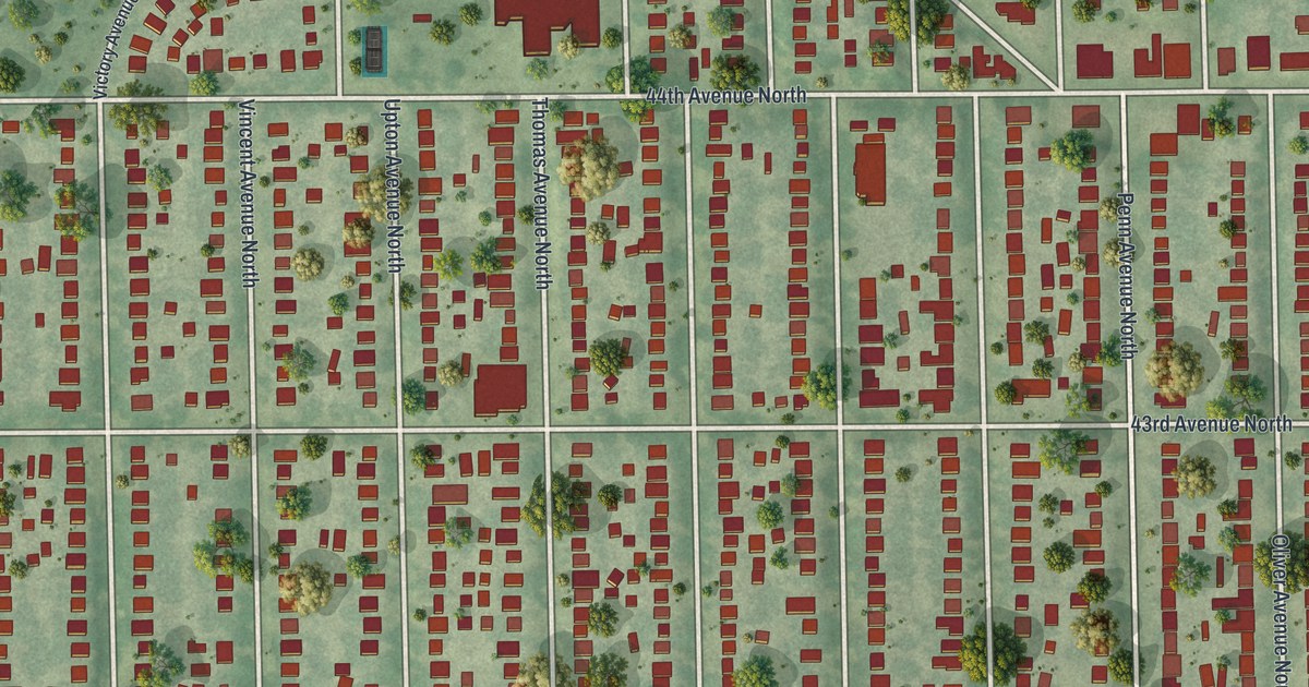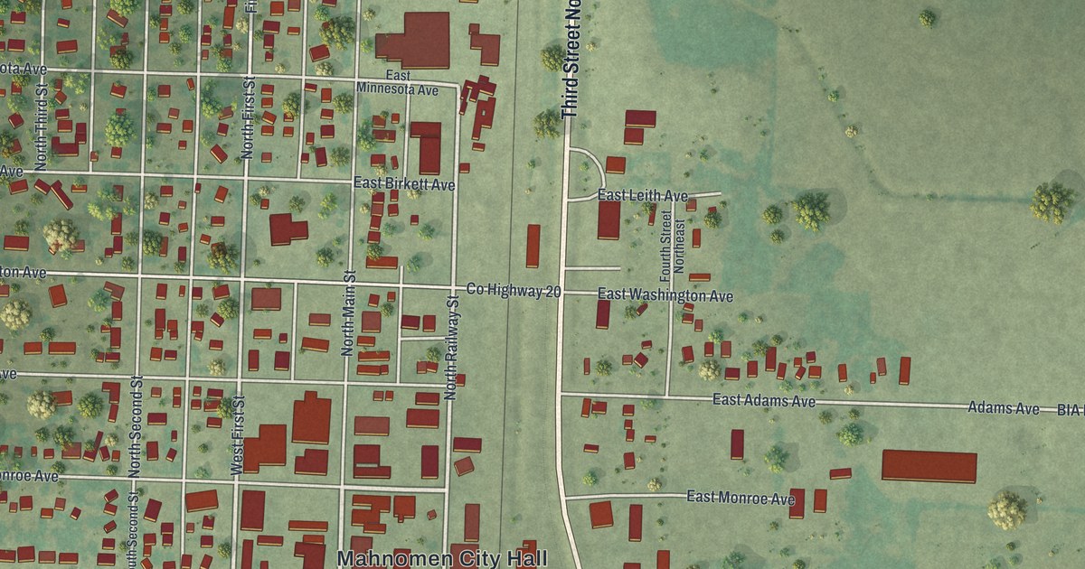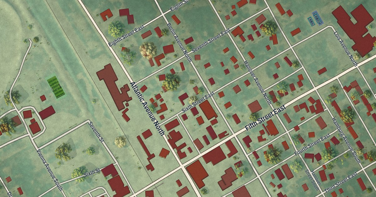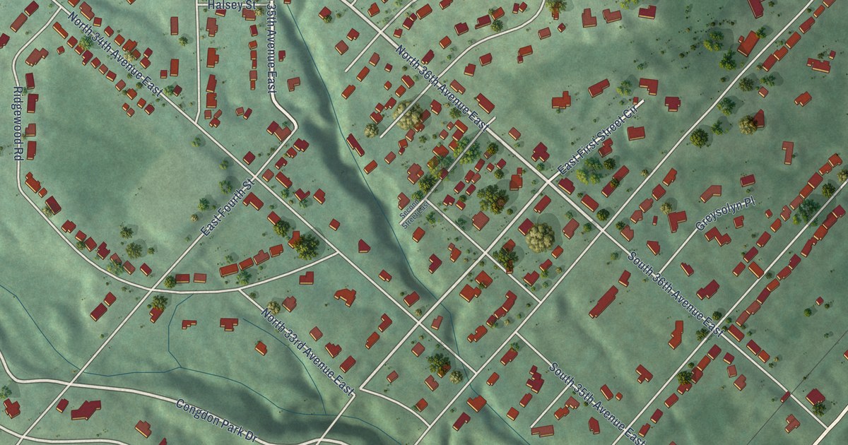
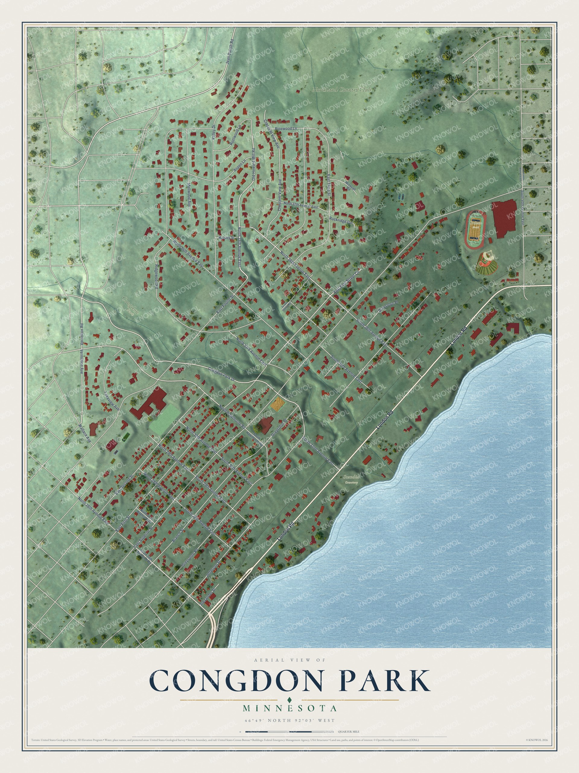
This beautifully detailed map of Congdon Park, Minnesota was created in 2026 using aerial imagery combined with modern topographical, census, street and landmark data. It’s a one-of-a-kind view of Congdon Park that combines accurate data with a vintage aesthetic. The map shows every building in its true location, many of the roads carry their names, and the shaded topographic relief shows the shape of the land.
Explore an aerial view of Congdon Park, Minnesota
On the map you’ll find Ordean Field, Scandia Cemetery, and Northland Country Club, along with London Road, North 36th Avenue East, North 35th Avenue East, Old Howard Mill Road, Congdon Park Drive, Vermilion Road, Jean Duluth Road, East First Street, and more. If you look closely you can even find your house accurately drawn in its correct location. Zoom in on the preview to look for yours.
Did You Know?
The neighborhood is named after Chester Congdon. He donated land for it in 1908. Tischer Creek flows through it. The Glensheen Historic Estate museum and the Northland Country Club both lie within the neighborhood.
Take a closer look at the Congdon Park map
Names on this map
These names are printed on this map.
Places: Congdon Park, Ordean Field, Scandia Cemetery and Northland Country Club.
Streets and roads: London Road, North 36th Avenue East, North 35th Avenue East, Old Howard Mill Road, Congdon Park Drive, Vermilion Road, Jean Duluth Road, East First Street, North Hawthorne Road, East Superior Street, East Fourth Street, Greysolon Road.
More street names, A to Z
Alexander Street, Aspen Lane, Branch Street, Crescent View Avenue, East First Street Circle, East Second Street, East Third Street, Greysolon Place, Greysolyn Place, Halsey Street, Jefferson Street, Lakeview Avenue, Mellwood Avenue, Misquah Road, North 26th Avenue East, North 27th Avenue East, North 28th Avenue East, North 29th Avenue East, North 30th Avenue East, North 33rd Avenue East, North 34th Avenue East, North 37th Avenue East, North 40th Avenue East, Pinewood Lane, Ridgewood Road, Rockridge Circle, Rustwood Lane, Second Street East, South 26th Avenue East, South 28th Avenue East, South 29th Avenue East, South 30th Avenue East, South 32nd Avenue East, South 35th Avenue East, South 36th Avenue East, South 40th Avenue East, South Hawthorne Road, Valley Drive, Vermillion Avenue, Wallace Avenue.
See it on a wall
The Congdon Park map as a framed print. Swipe for more.


This beautifully detailed map of Congdon Park makes an attractive addition to your office, library, or den, and it can even be used to teach children the geography and history of the area. It also makes a great gift for anyone who grew up in Congdon Park or moved away. When you’re done exploring, click here to get your copy of the Congdon Park map.