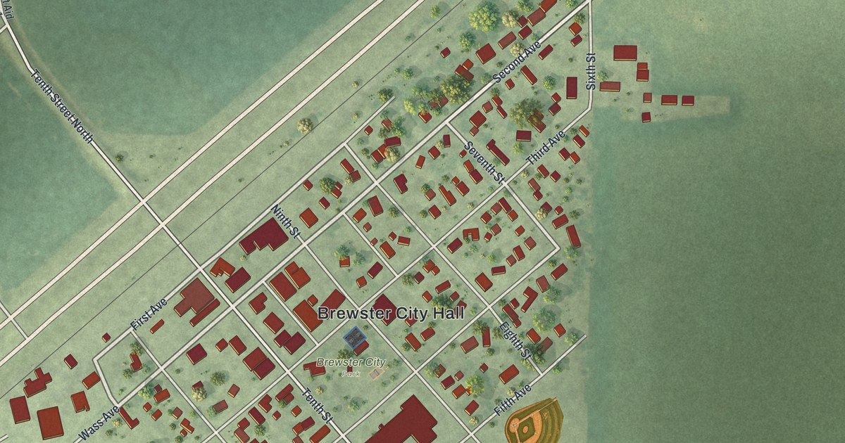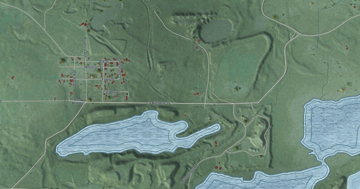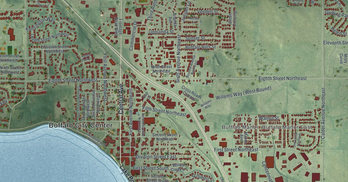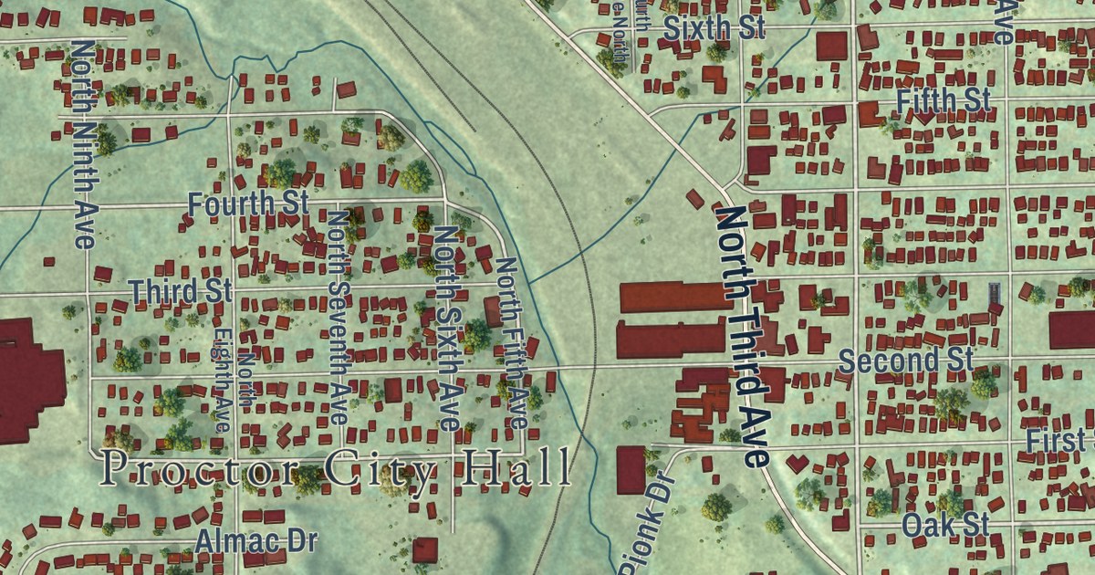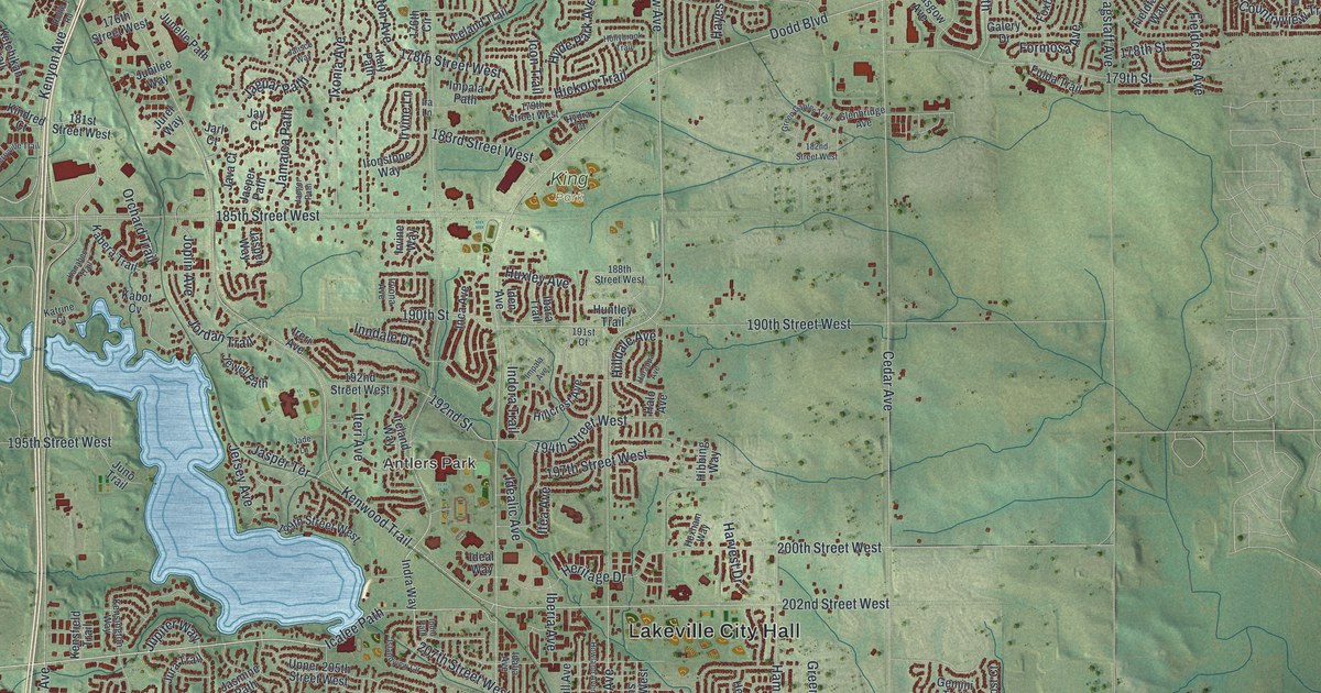
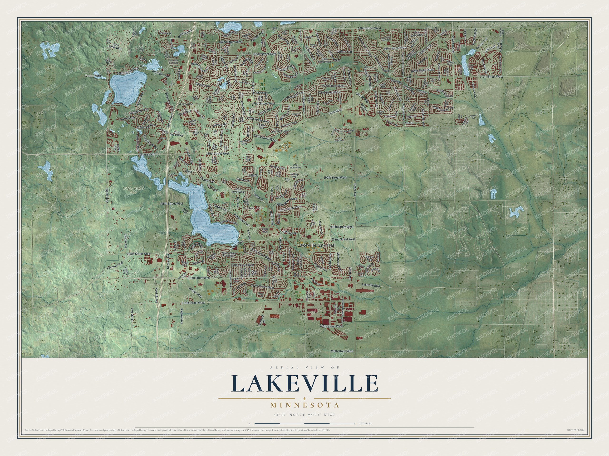
This beautifully detailed map of Lakeville, Minnesota was created in 2026 using aerial imagery combined with modern topographical, census, street and landmark data. It’s a one-of-a-kind view of Lakeville that combines accurate data with a vintage aesthetic. The map shows every building in its true location, many of the roads carry their names, and the shaded topographic relief shows the shape of the land.
Explore an aerial view of Lakeville, Minnesota
On the map you’ll find Lakeville City Hall, Deer Park, Argonne, Antlers Park, King Park, and Ritter Farm Park, along with Kenrick Avenue, Judicial Road, Ipava Avenue, 205th Street West, Kenyon Avenue, 172nd Street West, and more. If you look closely you can even find your house accurately drawn in its correct location. Zoom in on the preview to look for yours.
Did you know this piece of Lakeville, Minnesota history?
From the 1920 Minnesota Geographic Names: "Lakeville, named like the township, received its first settlers in 1855. When the Hastings and Dakota railroad was built there, in 1869, a new village site was chosen, at first called Fairfield."
Take a closer look at the Lakeville map
Street and place names on the Lakeville, Minnesota map
These names are printed on the map of Lakeville, Minnesota.
Places: Lakeville City Hall, Deer Park, Argonne, Antlers Park, King Park and Ritter Farm Park.
Streets and roads: Kenrick Avenue, Judicial Road, Ipava Avenue, 205th Street West, Kenyon Avenue, 172nd Street West, 169th Street West, Jonquil Avenue, Highview Avenue, 173rd Street West, 168th Street West, Kodiak Avenue.
More street names, A to Z
160th Street, 160th Street West, 161st Street West, 162nd Street West, 163rd Street West, 164th Street West, 165th Street West, 166th Street West, 167th Street West, 170th Street West, 171st Street West, 175th Street West, 176th Circle, 176th Street West, 178th Street, 178th Street West, 179th Street, 179th Street West, 179th Trail West, 181st Street West, 182nd Street West, 183rd Street West, 185th Street West, 188th Street West, 190th Street, 190th Street West, 191st Court, 192nd Street, 192nd Street West, 194th Street West, 195th Street West, 197th Street West, 199th Street West, 200th Street West, 202nd Street West, 207th Street West, 208th Street West, 210th Street West, 211th Street, 212th Street West, 215th Street West, 220th Street West, 225th Street West, Anthony Drive, Brutus Drive, Buck Hill Road, Cedar Avenue, Countryview Trail, Crystal Hills Drive, Diamond Path, Diamonte Path, Dodd Boulevard, Dodd Lane, Draft Horse Boulevard, Duluth Trail, Durango Trail, Dynamic Drive, Eagleview Drive, East Lake Drive, Eastwood Avenue, Edinbug Way, Element Avenue, Elmhurst Lane, Embers Avenue, Enfield Way, English Avenue, English Path, Equestrian Trail, Estate Lane, Europa Avenue, Eventide Way, Everest Path, Excel Way, Fairfax Avenue, Fairgreen Avenue, Fairhaven Avenue, Falkirk Trail, Fallbrook Drive, Faraday Lane, Festal Avenue, Fieldcrest Avenue, Fieldfare Way, Finch Path, Finch Way West, Firestone Path, Fishing Avenue West, Five Oaks Drive, Flagstaff Avenue, Flagstaff Avenue West, Flagstaff Way West, Foliage Avenue, Foliage Avenue West, Formosa Avenue, Foxboro Lane, Frazer Path, French Avenue, Frost Court, Fulda Trail, Gage Avenue, Gage Way, Galena Avenue West, Galery Drive, Gannon Avenue West, Gannon Way West, Gemini Trail, Gerdine Path, Gerdine Path West, Glacier Way, Glade Avenue, Glasgow Avenue, Glenbridge Avenue, Glencoe Avenue, Glenwood Avenue, Godson Drive, Goldenview Avenue, Granada Avenue, Green Gables Trail, Greenwood Avenue, Grenada Avenue, Grenadier Avenue, Griffon Trail, Grinnell Avenue, Grinnell Way, Grove Avenue, Grove Trail, Gunflint Trail, Halo Avenue, Hamburg Avenue, Hamilton Drive, Hanover Avenue, Harappa Avenue, Harmony Path, Hartford Way, Harvard Drive, Harvard Lane, Harvest Drive, Harwell Avenue, Havelock Way, Hawthorn Avenue, Hayes Avenue, Hearthside Way, Helena Lane, Hemlock Avenue, Heritage Drive, Heron Lane, Hexham Way, Heywood Avenue, Hibbing Way, Hibiscus Avenue, Hickory Trail, Hillcrest Avenue, Hilldale Avenue, Holbrook Avenue, Hollins Avenue West, Hollybrook Trail, Hollyhock Court, Holt Avenue, Holyoke Avenue, Homestead Trail, Hominy Path, Horizon Boulevard, Howland Avenue West, Hubbard Trail, Hudson Avenue, Hull Avenue, Humboldt Road, Huntley Trail, Hurley Avenue, Huron Circle, Huxley Avenue, Hyacinth Avenue, Hyde Park Avenue, Hydra Court, Hyland Avenue, Hytrail Circle, Ibara Trail, Iberia Avenue, Ibex Avenue, Icalee Path, Iceland Trail, Icon Trail, Idaho Avenue, Idalia Avenue, Idealic Avenue, Ideal Way, Iden Avenue, Idlewood Way, Illinois Avenue, Imbler Trail, Impala Avenue, Impala Path, Inca Avenue, India Avenue, Indio Path, Indora Trail, Indra Way, Inndale Drive, Innsbrook Drive, Inspiration Path, Interlachen Boulevard, Ionia Path, Ira Lane, Iran Avenue, Ireland Way, Ireri Avenue, Ironstone Way, Irvine Lane, Irvine Way, Irvona Avenue, Irwindale Way, Island Avenue, Islandview Circle, Isle Avenue, Isleton Avenue, Isleton Trail, Italy Avenue, Italy Path, Itami Trail, Itea Avenue, Iteri Avenue, Ixonia Avenue, Ixonia Lane, Ixonia Path, Jackdaw Path, Jackpine Trail, Jackson Trail, Jacquard Avenue, Jade Lane, Jade Terrace, Jaeger Path, Jaguar Avenue, Jaguar Path, Jalisco Lane, Jalisco Way, Jamaica Path, Jamison Path, Jarl Court, Jasmine Path, Jasper Lane, Jasper Path, Jasper Terrace, Jasper Trail, Jasper Way, Java Court, Java Lane, Javelin Avenue, Jay Court, Jersey Avenue, Jersey Way, Jewel Avenue, Jewel Path, Jonquil Trail, Joplin Avenue, Joplin Path, Joplin Way, Jordan Trail, Joy Avenue, Jubilee Way, Junco Trail, Junelle Path, Juniper Way, Juno Trail, Jupiter Way, Jura Trail, Jurel Way, Jury Court, Justice Way, Jutland Place, Kabera Trail, Kabot Cv, Kaiser Way, Kanabec Trail, Kaparia Avenue, Katrine Court, Kendale Drive, Kenmore Drive, Kenreel Avenue, Kenrick Loop, Kensfield Trail, Kensington Boulevard, Kensington Way, Kent Trail, Kenwood Trail, Keokuk Avenue, Kerrick Court, Kerryville Trail, Ketchikan Trail, Kettering Trail, Keystone Avenue, Kindred Court, Kings Court, Kingsway Path, Klamath Terrace, Klamath Trail, Knolls Path, Krafton Avenue, Laigle Avenue, Lakeville Boulevard, Lansford Path, Laredo Avenue, Laredo Path, Layton Path, Linch Avenue, Linch Path, Lions Court, Logarto Lane, Lower 167th Street West, Lucerne Trail, Macbeth Circle, Minnreg Road, North Creek Drive, Oak Shore Drive, Orchard Trail, Pilot Knob Road, Rollie Road, Romeo Drive, Steven Lane, Upper 162nd Street West, Upper 205th Street West.
See the Lakeville, Minnesota map on a wall
The Lakeville map as an 18 x 24 inch print in a black frame.

This beautifully detailed map of Lakeville makes an attractive addition to your office, library, or den, and it can even be used to teach children the geography and history of the area. It also makes a great gift for anyone who grew up in Lakeville or moved away. When you’re done exploring, click here to get your copy of the Lakeville map.