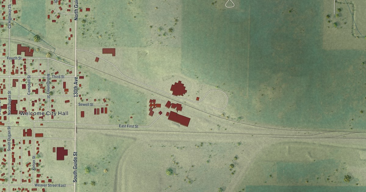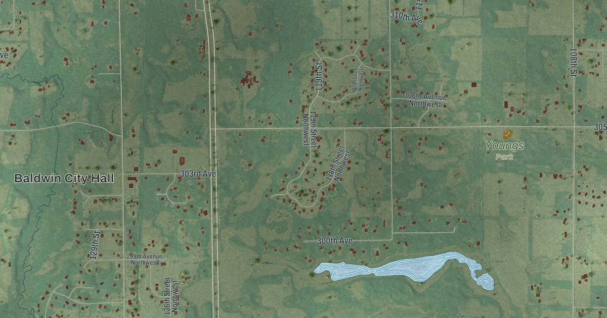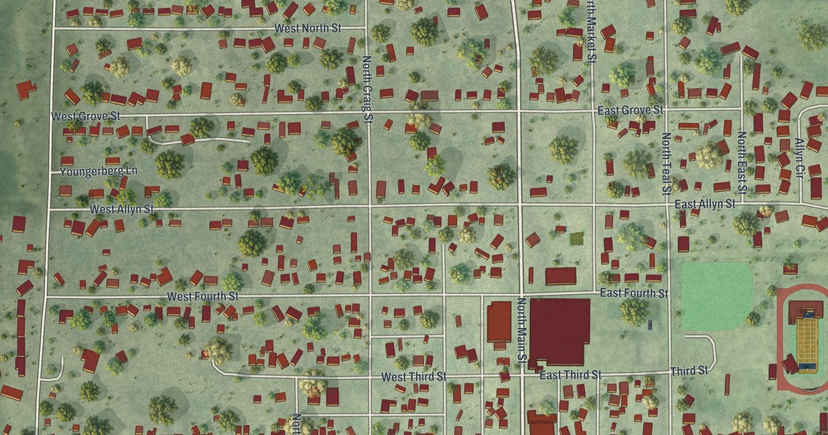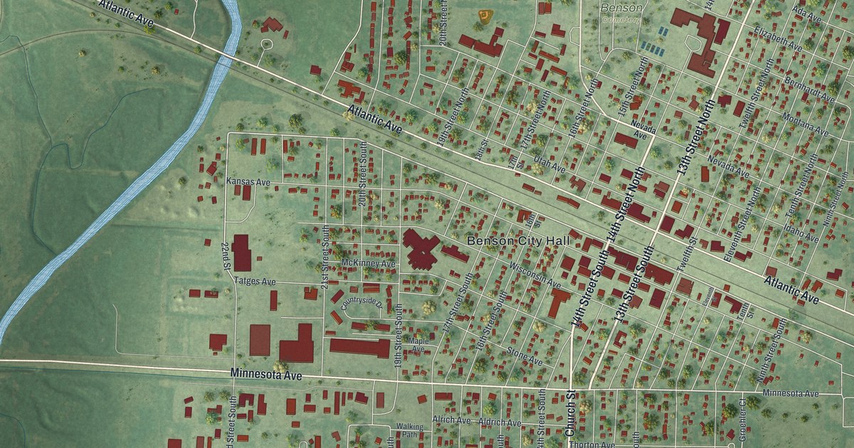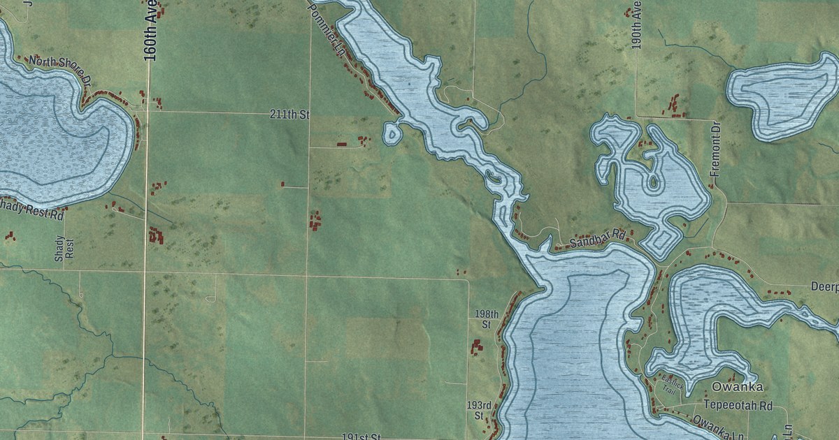
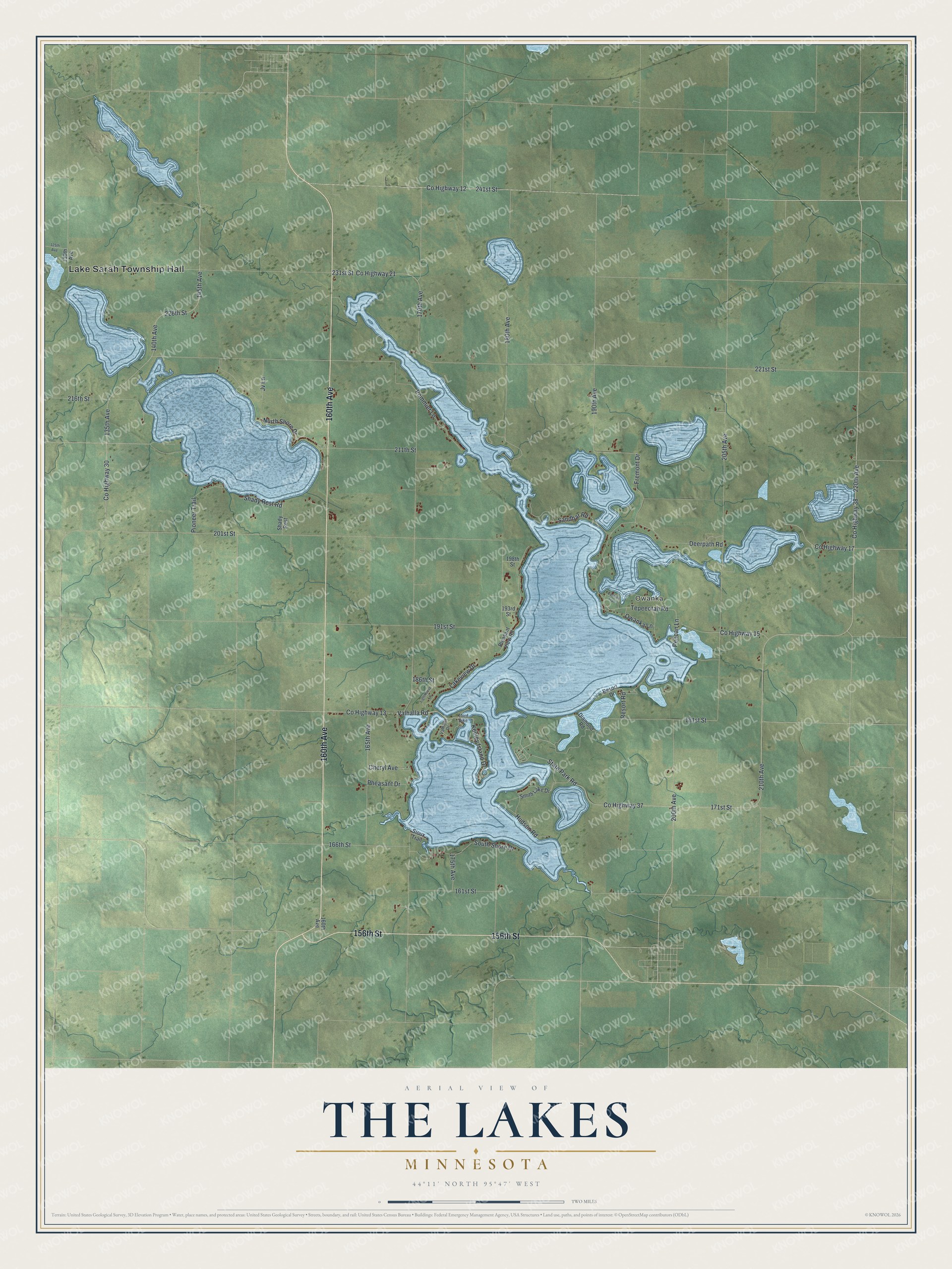
This beautifully detailed map of The Lakes, Minnesota was created in 2026 using aerial imagery combined with modern topographical, census, street and landmark data. It's a modern aerial view of The Lakes in Murray County, Minnesota, that combines modern data with a vintage aesthetic. The roads feature printed names, and if you look closely you can find your exact house accurately shown in its correct location.
Explore an aerial view of The Lakes, Minnesota
On this map you'll find Lake Sarah Township Hall, Owanka, 156th Street, 160th Avenue, Co Highway 38, 200th Avenue, 220th Avenue, Valhalla Road, 211th Street, 226th Street, 140th Avenue, 145th Avenue, and more. Each red shape is a building, so zoom in on the preview and look for yours.
Every town has a first chapter, and The Lakes is no exception. Lake Shetek takes its name from the Ojibwe word for a pelican. The French explorer Joseph Nicollet camped three days at the Shetek or Pelican lakes in the summer of 1838, and he wrote that the Dakota called them the place where the pelicans nest. Nearby Lake Fremont honors John C. Fremont, who came with Nicollet in 1838. He later became a renowned explorer and the Republican candidate for president in 1856. That's from the Minnesota Historical Society.
The Lakes is a community in Murray County. The Census Bureau counted 590 people here in 2020.
Take a closer look at The Lakes map
Names on this map
These names are printed on this map.
Places: Lake Sarah Township Hall and Owanka.
Streets and roads: 156th Street, 160th Avenue, County Highway 38, 200th Avenue, 220th Avenue, Valhalla Road, 211th Street, 226th Street, 140th Avenue, 145th Avenue, 221st Street, County Highway 30.
More street names, A to Z
125th Avenue, 130th Avenue, 135th Avenue, 161st Street, 165th Avenue, 166th Street, 170th Avenue, 171st Street, 175th Avenue, 180th Avenue, 181st Street, 186th Street, 190th Avenue, 191st Street, 193rd Street, 198th Street, 201st Street, 205th Avenue, 210th Avenue, 216th Street, 231st Street, 241st Street, Cheryl Avenue, County Highway 12, County Highway 13, County Highway 15, County Highway 17, County Highway 21, County Highway 37, Deerpath Road, Diamond Road, Eastlick Trail, Fremont Drive, Hudson Road, Jv Lane, Keeley Island Drive, Lakeview Drive, Lighthouse Lane, North Shore Drive, Owanka Lane, Pelican Lane, Pheasant Drive, Pioneer Trail, Pleasant View Road, Pommier Lane, Resort Drive, Resort Road, Sandbar Road, Shady Rest, Shady Rest Road, Sioux Trail, Smith Lake Drive, South Shore Drive, State Park Road, Tepeeotah Road, Third Dike, Valhalla Drive.
See it on a wall
The The Lakes map as a framed print. Swipe for more.


Created by KNOWOL in 2026. The buildings are small red shapes, the roads carry their printed names, and shaded relief shows the shape of the land. The title panel reads "AERIAL VIEW OF THE LAKES, MINNESOTA" with 44°11' NORTH 95°47' WEST.
Hang it in the hallway, the office or the cabin, or give it to someone who left The Lakes and still calls it home. Open the preview and look for a street you know. See sizes and frames for The Lakes map.