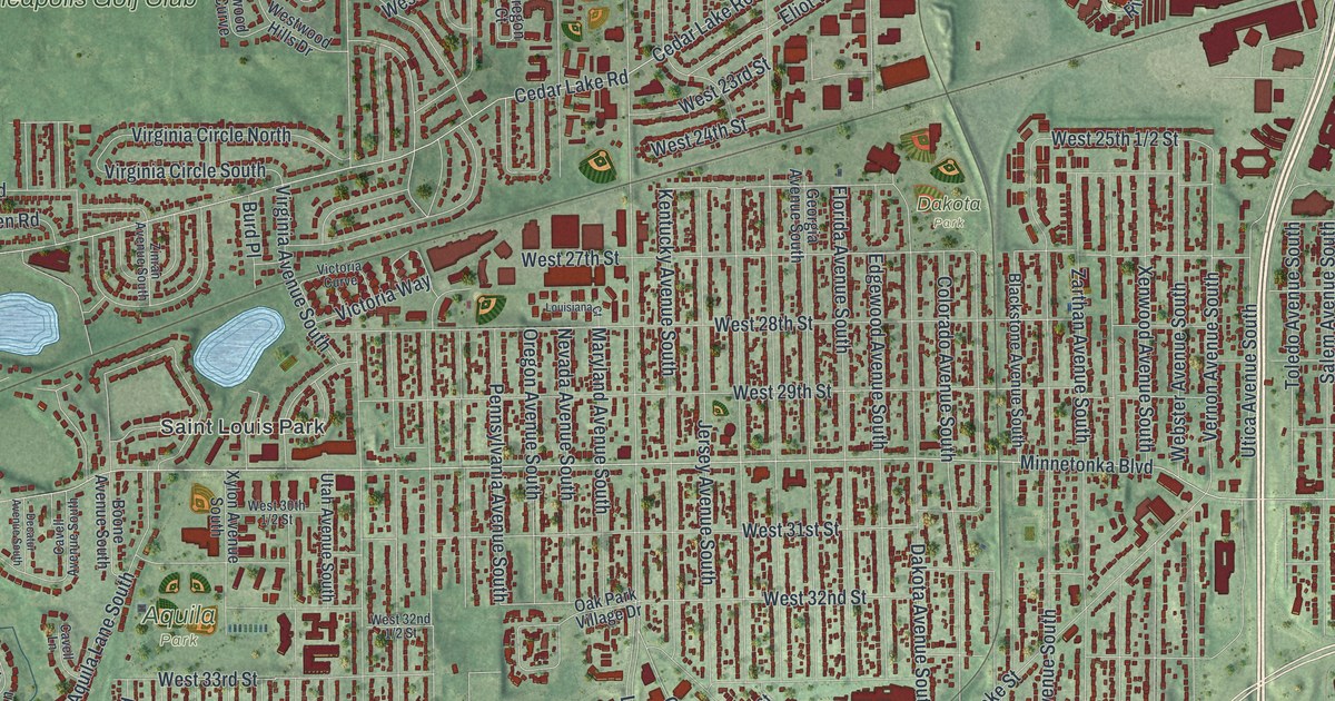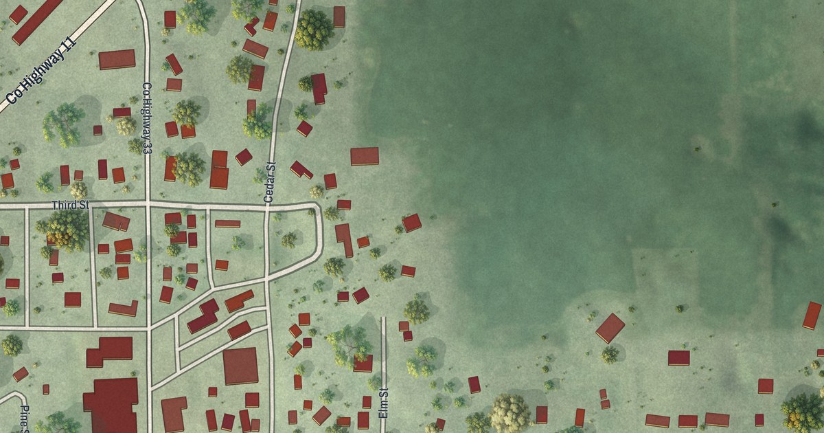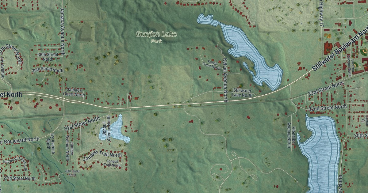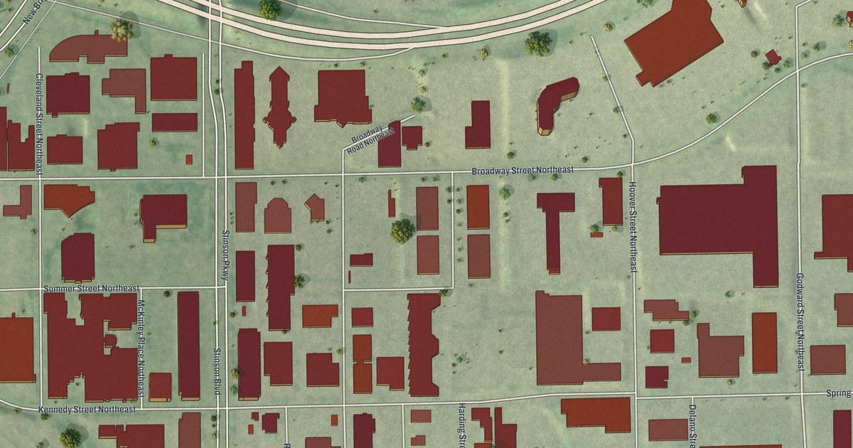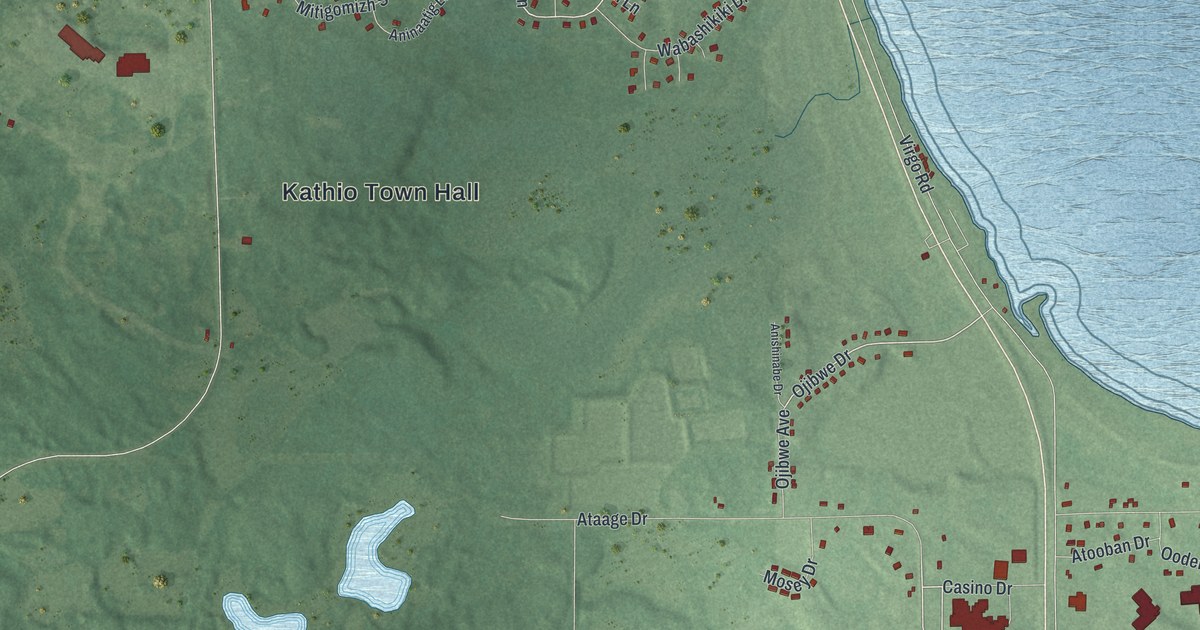
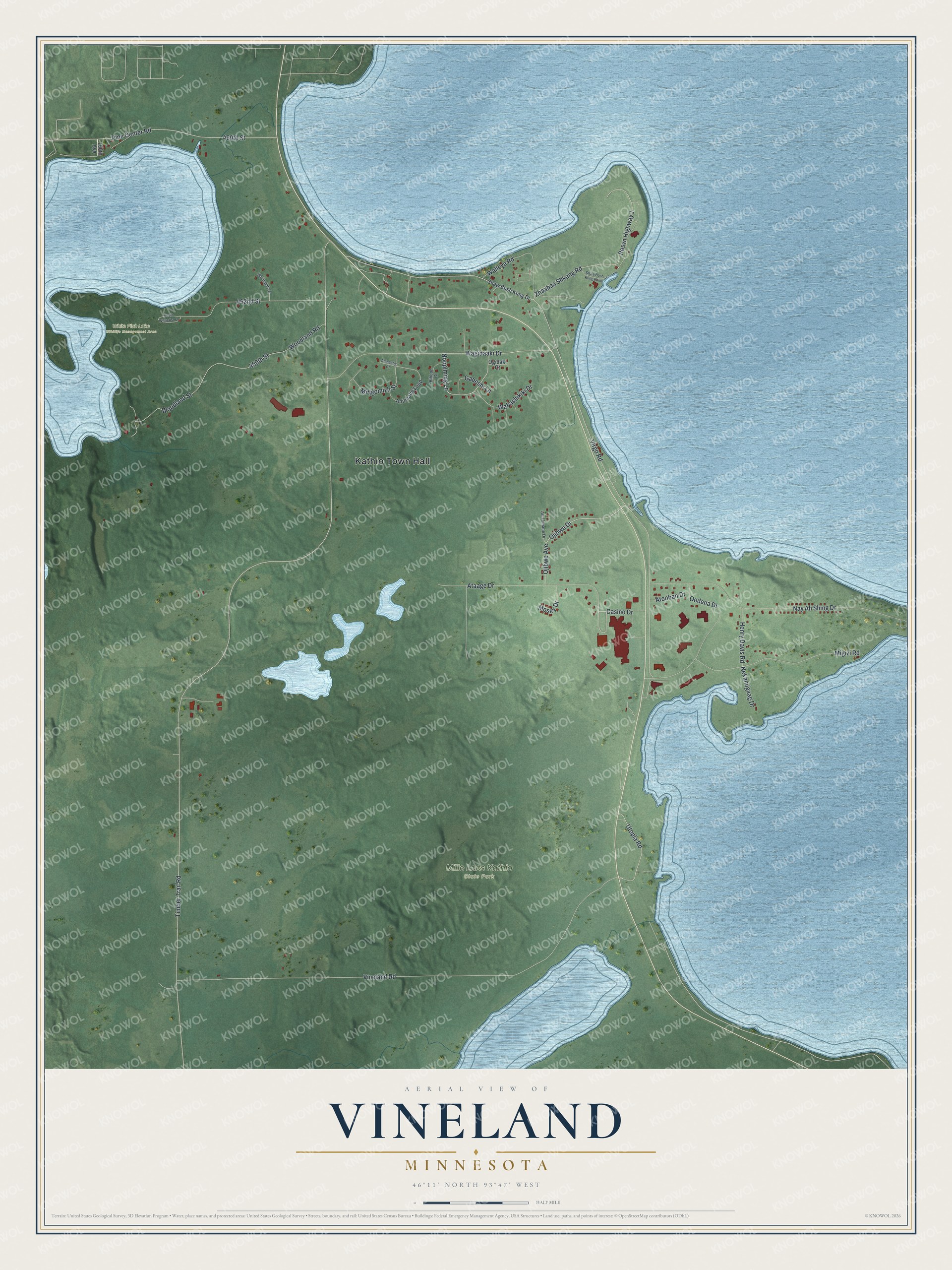
This beautifully detailed map of Vineland, Minnesota was created in 2026 using aerial imagery combined with modern topographical, census, street and landmark data. It's a modern aerial view of Vineland in Mille Lacs County, Minnesota, that combines modern data with a vintage aesthetic. The roads feature printed names, and if you look closely you can find your exact house accurately shown in its correct location.
Explore an aerial view of Vineland, Minnesota
On this map you'll find Kathio Town Hall, Mille Lacs Kathio State Park, White Fish Lake Wildlife Management Area, Noopiming Lane, Wagidaaki Drive, Casino Drive, Ojibwe Drive, Timber Trail Road, Virgo Road, Vineland Road, Nay Ah Shing Drive, Migizi Road, and more. Each red shape is a building, so zoom in on the preview and look for yours.
Vineland has a story worth telling. The Mille Lacs Band of Ojibwe is known as the Non-Removable Band. Its young men volunteered in high numbers for the Civil War, and because the Band kept the peace among the Ojibwe during the Dakota War of 1862, the treaties of 1863 and 1864 promised its members would never be forced to leave the Mille Lacs Reservation. The Mille Lacs Indian Museum and Trading Post, across from Grand Casino Mille Lacs, tells of everyday Ojibwe life and arts and how the Band survived some of the darkest periods in American history. That's from the Mille Lacs Band of Ojibwe.
Vineland is a community in Mille Lacs County. The Census Bureau counted 869 people here in 2020.
Take a closer look at the Vineland map
Names on this map
These names are printed on this map.
Places: Kathio Town Hall, Mille Lacs Kathio State Park and White Fish Lake Wildlife Management Area.
Streets and roads: Noopiming Lane, Wagidaaki Drive, Casino Drive, Ojibwe Drive, Timber Trail Road, Virgo Road, Vineland Road, Nay Ah Shing Drive, Migizi Road, 450th Street, Woodland Street, Resvn Highway 1.
More street names, A to Z
190th Avenue, 452nd Street, 460th Street, Aninaatig Court, Aninaatig Loop, Anishinabe Drive, Ataage Drive, Atooban Drive, Biboon Court, Gabeshi Lane, Henry Davis Road, Mitigomizh Street, Mosey Drive, Nekamigaag Drive, Ogidaki Court, Ojibwe Avenue, Oodena Drive, Pine Center Road, Shaw Bosh Kung Point, Shaw Bush Kung Drive, South Whitefish Drive, Utopia Road, Wabashikiki Drive, Waiingan Drive, Walleye Road, Woodland Road, Zhaabaa Shkang Road.
See it on a wall
The Vineland map as a framed print. Swipe for more.


Created by KNOWOL in 2026. The buildings are small red shapes, the roads carry their printed names, and shaded relief shows the shape of the land. The title panel reads "AERIAL VIEW OF VINELAND, MINNESOTA" with 46°11' NORTH 93°47' WEST.
It looks right in a kitchen, an office or a den, and it's a gift for anyone who grew up in Vineland or moved away. Open the preview and find your street. See sizes and frames for the Vineland map.