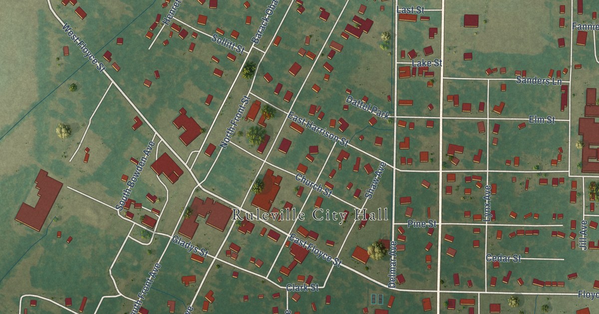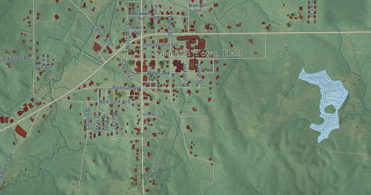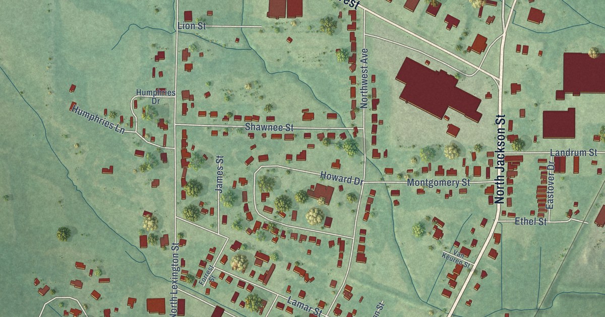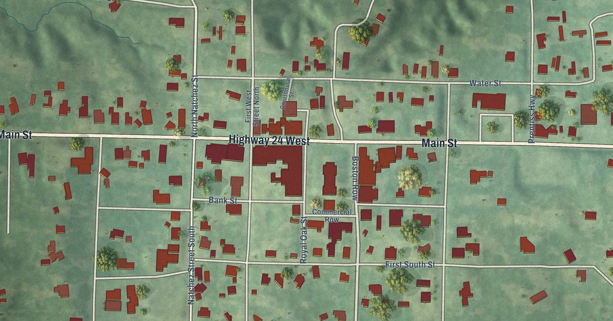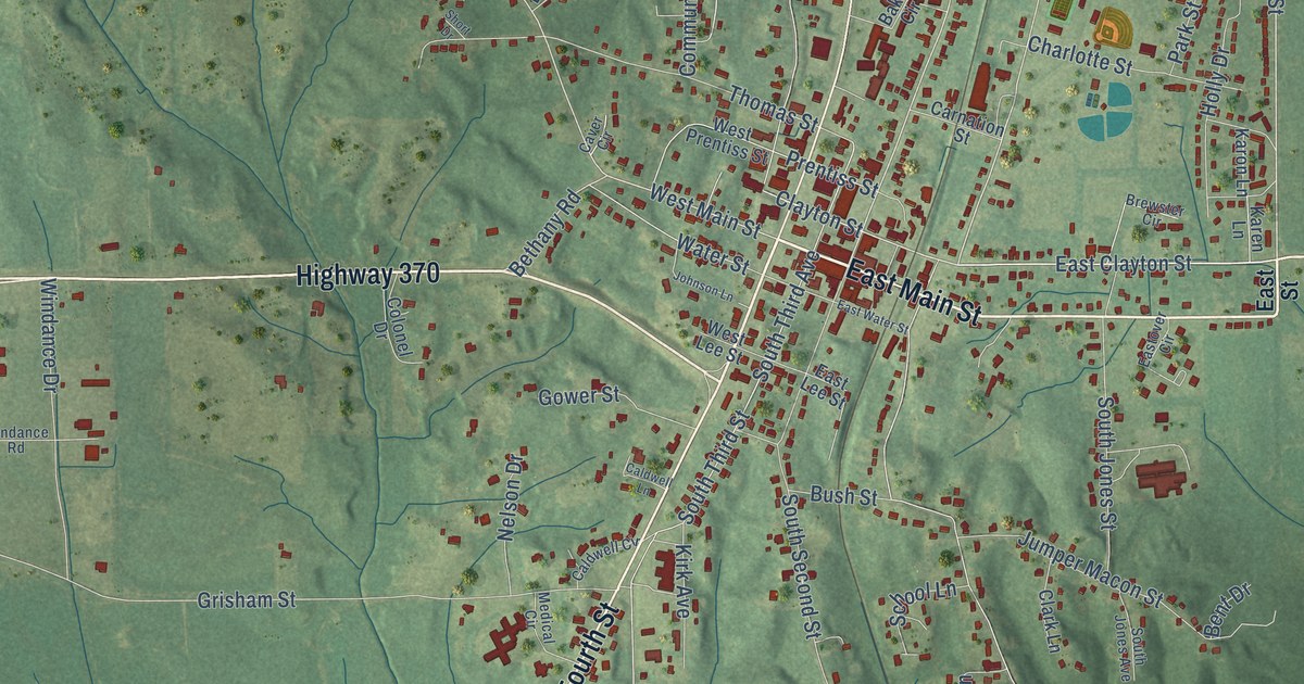
This beautifully detailed map of Baldwyn, Mississippi was created in 2026 using aerial imagery combined with modern topographical, census, street and landmark data. It’s a one-of-a-kind view of Baldwyn that combines accurate data with a vintage aesthetic. The map shows every building in its true location, many of the roads carry their names, and the shaded topographic relief shows the shape of the land.
Explore an aerial view of Baldwyn, Mississippi
On the map you’ll find South Fourth Street, Highway 370, Highway 145 South, East Main Street, East Clayton Street, Fourth Street, North Fourth Street, Bethany Road, East Clayton Avenue, West Main Street, East Street, Latimer Street, and more. If you look closely you can even find your house accurately drawn in its correct location. Zoom in on the preview to look for yours.
Did you know this piece of Baldwyn, Mississippi history?
From the Mississippi Cyclopedia: "Just before the War, the M. & O. R. R. was built as far as Baldwyn, only two miles distant from Carrollville, and the business and population of the old town soon moved to the railroad."
Take a closer look at the Baldwyn map
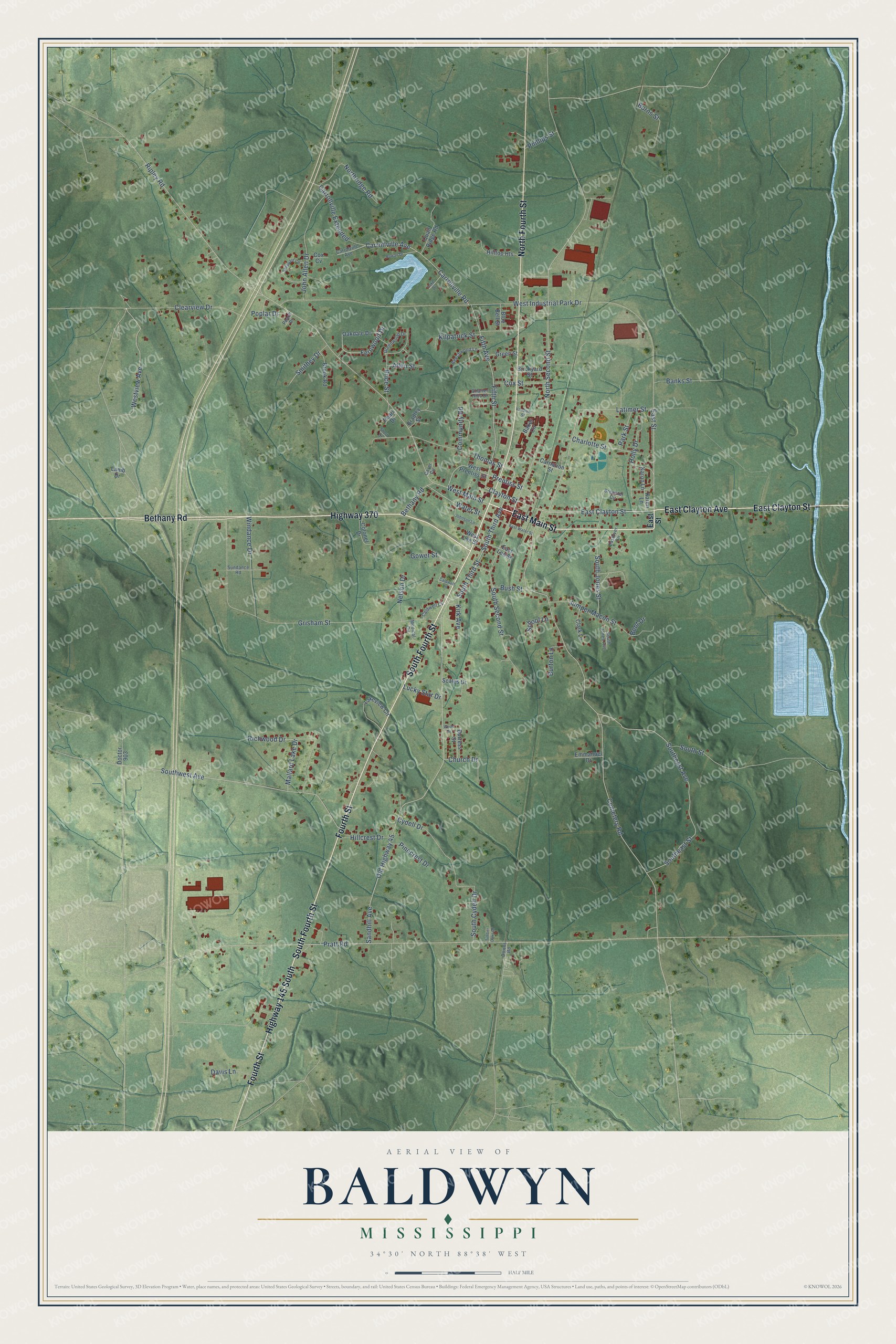
Street names on the Baldwyn, Mississippi map
These names are printed on the map of Baldwyn, Mississippi.
Streets and roads: South Fourth Street, Highway 370, Highway 145 South, East Main Street, East Clayton Street, Fourth Street, North Fourth Street, Bethany Road, East Clayton Avenue, West Main Street, East Street, Latimer Street.
More street names, A to Z
Allen Street, Baker Circle, Banks Street, Beechwood Lane, Bent Drive, Blue Bell Street, Bradley Street, Brewster Circle, Brickyard Street, Brook Road, Burns Street, Burress Street, Burton Lane, Bush Street, Caldwell Circle, Caldwell Lane, Carnation Street, Carrollville Avenue, Carrollville Extended, Carrollville Road, Carrolville Avenue, Caver Circle, Cemetery Road, Charlotte Street, Charter Hills Drive, Church Drive, Clark Lane, Clayton Street, Clearview Drive, Colonel Drive, Community Road, Cox Cv, Cox Street, Cydell Drive, Davis Lane, Doctor 903, Downs Road, East Lee Street, Eastover Circle, East Water Street, Emmanuel Drive, Fernwood Drive, Fifth Avenue, Fifth Street, Gower Street, Green Street, Greenwood Drive, Grisham Street, Hillcrest Drive, Hilltop Heights, Holly Drive, John Allen Drive, Johnson Lane, Jumper Macon Street, Karen Lane, Karon Lane, Kilpatrick Street, Kirk Avenue, Lake Drive, Lakeview Circle, Lamb Drive, Lucky Star Drive, Mallard Lake Drive, Medical Circle, Nelson Drive, Northridge Road, North Second Street, Oakdale Drive, Old Highway 45, Park Street, Peach Drive, Pearl Drive, Phillips Street, Pinecrest Drive, Poplar Drive, Pratt Road, Prentiss Street, Price Street, Quail Ridge Road, Richwood Drive, Ripley Road, Rowan Drive, Sandhill Avenue, Scales Drive, School Lane, Sheppard Circle, Short Drive, Smithey Drive, South Cydell Drive, Southeast Avenue, Southeast Street, South Jones Avenue, South Jones Street, South Second Street, South Street, South Third Avenue, South Third Street, Southwest Avenue, Sundance Road, Thomas Street, Timber Oaks Drive, Vandiver Street, Water Street, Wells Drive, West Industrial Park Drive, West Lee Street, West Prentiss Street, Westview Avenue, Windance Drive.
See the Baldwyn, Mississippi map on a wall
The Baldwyn map as an 18 x 24 inch print in a black frame.

This beautifully detailed map of Baldwyn makes an attractive addition to your office, library, or den, and it can even be used to teach children the geography and history of the area. It also makes a great gift for anyone with Baldwyn roots. When you’re done exploring, click here to get your copy of the Baldwyn map.