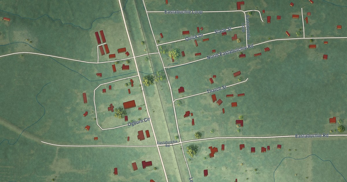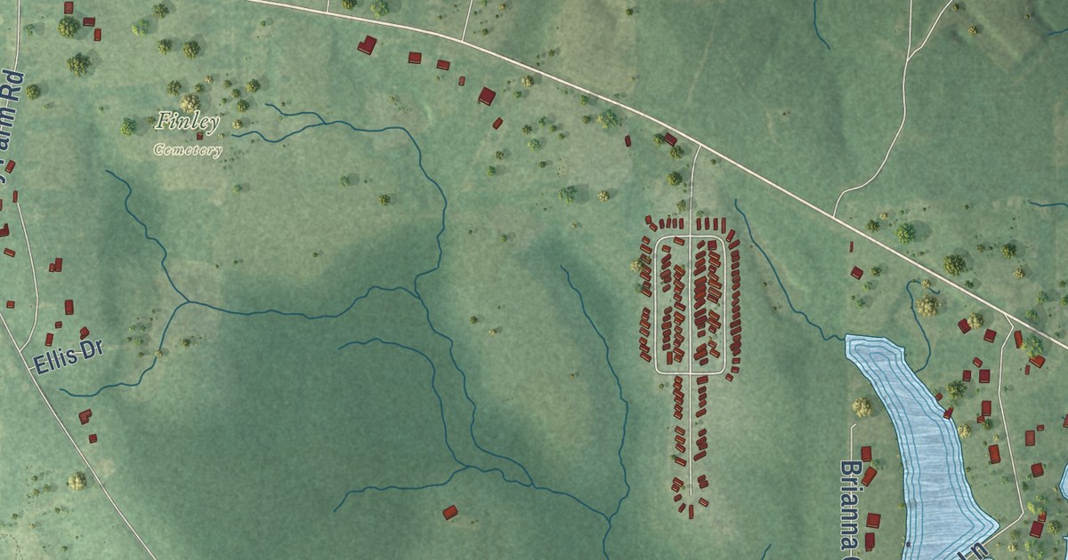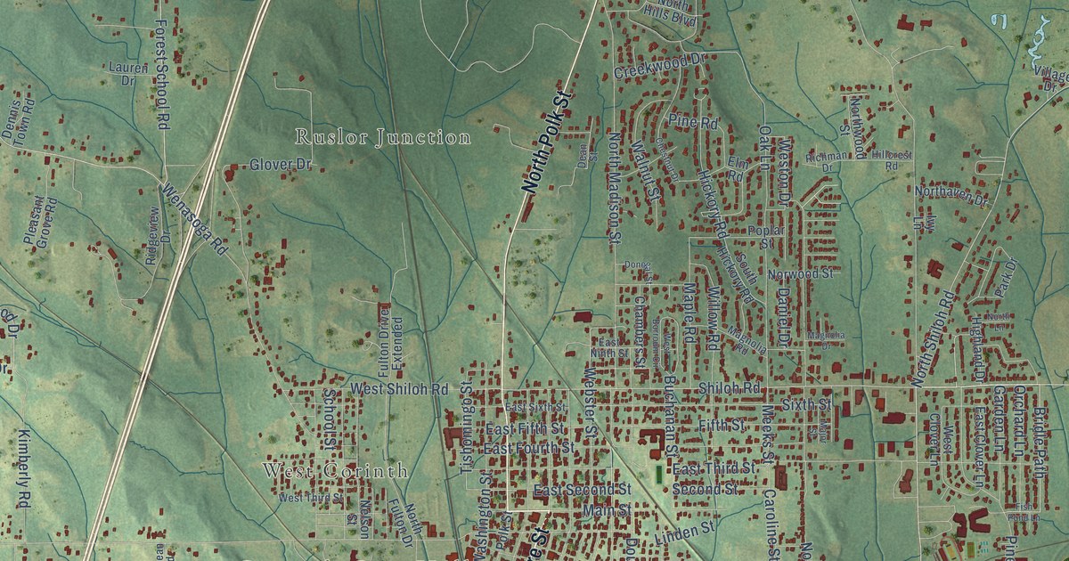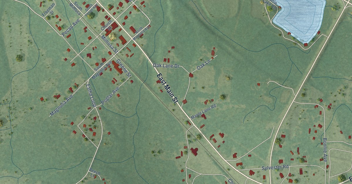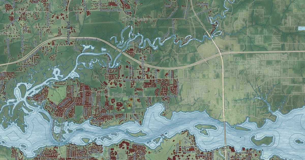
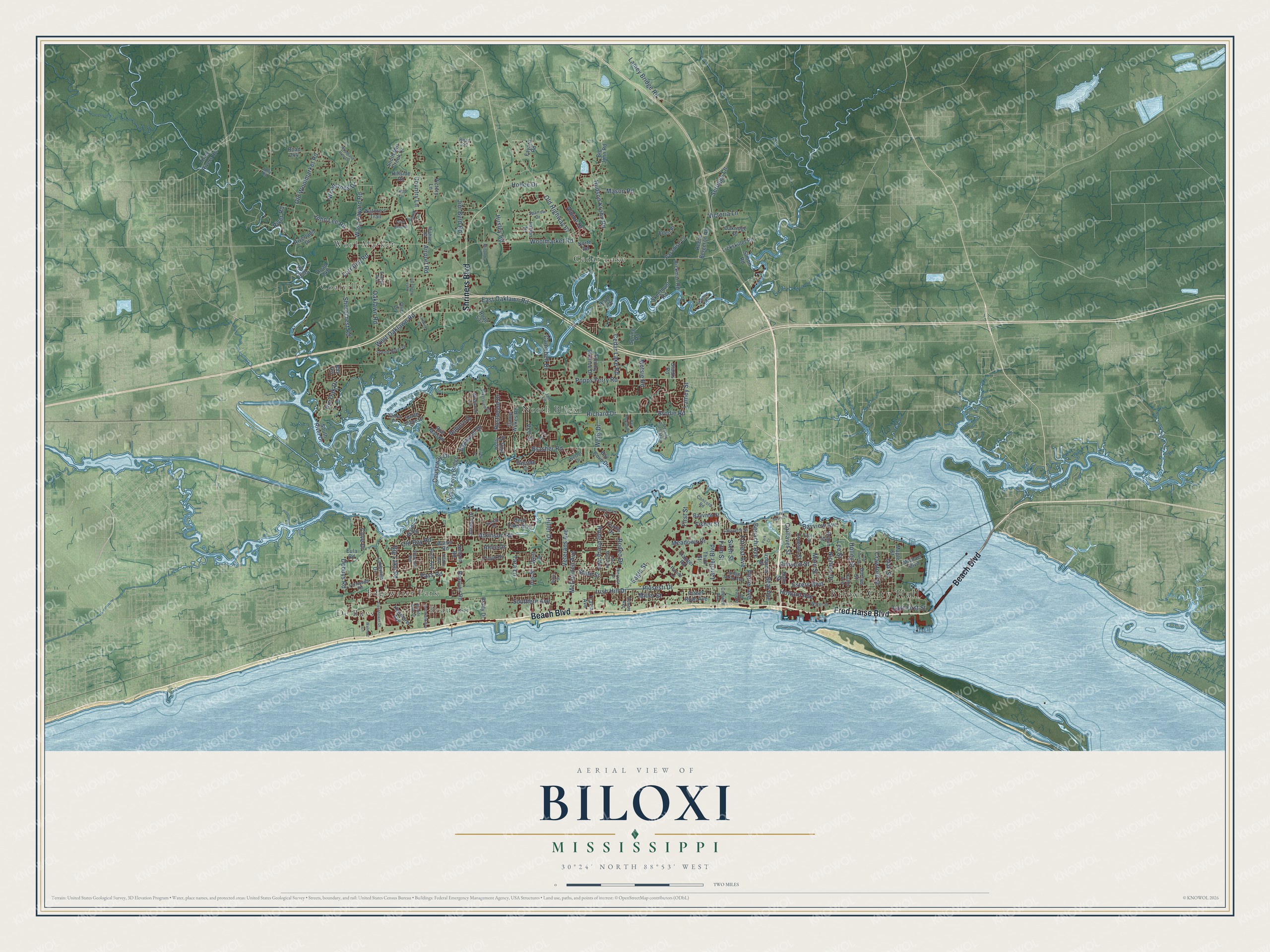
This beautifully detailed map of Biloxi, Mississippi was created in 2026 using aerial imagery combined with modern topographical, census, street and landmark data. It’s a one-of-a-kind view of Biloxi that combines accurate data with a vintage aesthetic. The map shows every building in its true location, many of the roads carry their names, and the shaded topographic relief shows the shape of the land.
Explore an aerial view of Biloxi, Mississippi
On the map you’ll find Biloxi City Hall, Beauvoir, Cedar Lake, Coalville, De Buys, Edgewater Park, North Biloxi, and Wool Market, along with Beach Boulevard, Fred Haise Boulevard, Shriners Boulevard, Bayview Avenue, and more. If you look closely you can even find your house accurately drawn in its correct location. Zoom in on the preview to look for yours.
Did you know this piece of Biloxi, Mississippi history?
From Mississippiencyclopedia.org: "The county’s connection to New Orleans is also evident from the founding of Barq’s Root Beer, which was invented in Biloxi in 1898 by New Orleans native Edward Barq."
Take a closer look at the Biloxi map
Street and place names on the Biloxi, Mississippi map
These names are printed on the map of Biloxi, Mississippi.
Places: Biloxi City Hall, Beauvoir, Cedar Lake, Coalville, De Buys, Edgewater Park, North Biloxi and Wool Market.
Streets and roads: Beach Boulevard, Fred Haise Boulevard, Shriners Boulevard, Bayview Avenue, Cedar Lake Road, Caillavet Street, Atkinson Road, Brodie Road, Richard Drive, Plosesti Drive, Old Bay Road, Popps Ferry Road.
More street names, A to Z
Acacia Avenue, Airport Road, Alice Drive, Alpine Drive, Auburn Drive, Audubon Trail, Azalea Drive, Baker Street, Bay Breeze Drive, Bay Cove Drive, Bay Shore Drive, Bayside Drive, Bayview Street, Bay Vw, Baywood Drive, Beauvoir Road, Benachi Avenue, Bent Oaks Boulevard, Big John Road, Big Lake Road, Bohn Street, Boss Husley Road, Brady Drive, Brasher Road, Braun Street, Briarfield Avenue, Caldwell Avenue, Campbell Drive, Camp Wilkes Road, Carter Road, Causeway Drive, Churchill Avenue, Concord Road, Country Lane, Cove Drive, Crawford Street, Croesus Street, Curtis Drive, Debuys Road, Destiny Plantation, Division Street, Dorries Street, Eagle Street, East First Street, East Oaklawn Road, Eden Place, Eisenhower Drive, Elder Street, Emily Drive, Esters Boulevard, Eula Road, Evelyn Avenue, Father Ryan Avenue, Fayard Road, Fern Court, Fernwood Road, Fifth Street, First Street, Fisher Street, Floyd Drive, Forrest Avenue, Grande View Drive, Hanger Road, Hickman Road, Hiller Drive, Hillside Road, Hilton Avenue, Hollee Drive, Holley Street, Holly Hills Drive, Howard Avenue, Hudson Krohn Road, Husley Road, Iberville Drive, Irish Hill Drive, Iris Street, Iroquois Street, Jam Lane, Jim Byrd Road, John Lee Road, Jolly Road, Jordan Drive, Judge Sekul Avenue, Keller Avenue, Kenmore Avenue, Krisandra Lane, Lafayette Street, Lakeview Drive, Lamey Bridge Road, Lamey Street, Landing Court, Larcher Boulevard, Larkin Drive, Lee Street, Lickskillet Road, Lively Lane, Lorraine Road, Main Street, Maple Street, Mason Road, McDonnell Avenue, Meadows Drive, Michael Boulevard, Michael Street, Miller Street, Motsie Road, Nature's Trail, Nelson Road, Nichols Drive, North Road, Oaklawn Road, Oakridge Place, Oak Street, Old Highway 67, Old Woolmarket Road, Orin Drive, Parade Lane, Paradise Lane, Park Court, Pass Road, Pin Oak Drive, Poplar Trail, Popps Ferry Bridge, Porter Avenue, Reece Bergeron Road, Rich Avenue, River Birch Drive, Riverland Drive, River Road, Riverview Drive, Road 244, Road 248, Road 252, Road 529, Road 536, Road 537, Rodenberg Avenue, Rodeo Drive, Rue Maison, Rustwood Drive, Saint Mary Boulevard, Scenic River Drive, Seal Avenue, Seruggs Lane, Shorecrest Road, Shore Drive, Simon Road, Sixth Street, Skeethunt Road, Southern Avenue, South Mill Creek Drive, South River Drive, South Shore Drive, Sparrow Drive, Spring Road, Starks Road, State Street, Strangi Avenue, Tara Lane, Third Street, Three Rivers Road, Tommy Monroe Drive, Travia Avenue, Vandenberg Drive, Vee Street, Venito Drive, Veterans Avenue, Victoria Lane, Victory Lane, Walda Drive, Walmart Lane, Wash Fayard Road, Water Street, Wells Drive, West Drive, West Oaklawn Road, Wetzel Drive, Wildwood Lane, Woodland Hills Drive, Woodlands Drive, Woolmarket Road.
See the Biloxi, Mississippi map on a wall
The Biloxi map as an 18 x 24 inch print in a black frame.

This beautifully detailed map of Biloxi makes an attractive addition to your office, library, or den, and it can even be used to teach children the geography and history of the area. It also makes a great gift for someone who left Biloxi and still calls it home. When you’re done exploring, click here to get your copy of the Biloxi map.