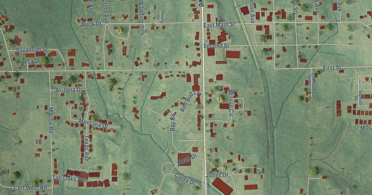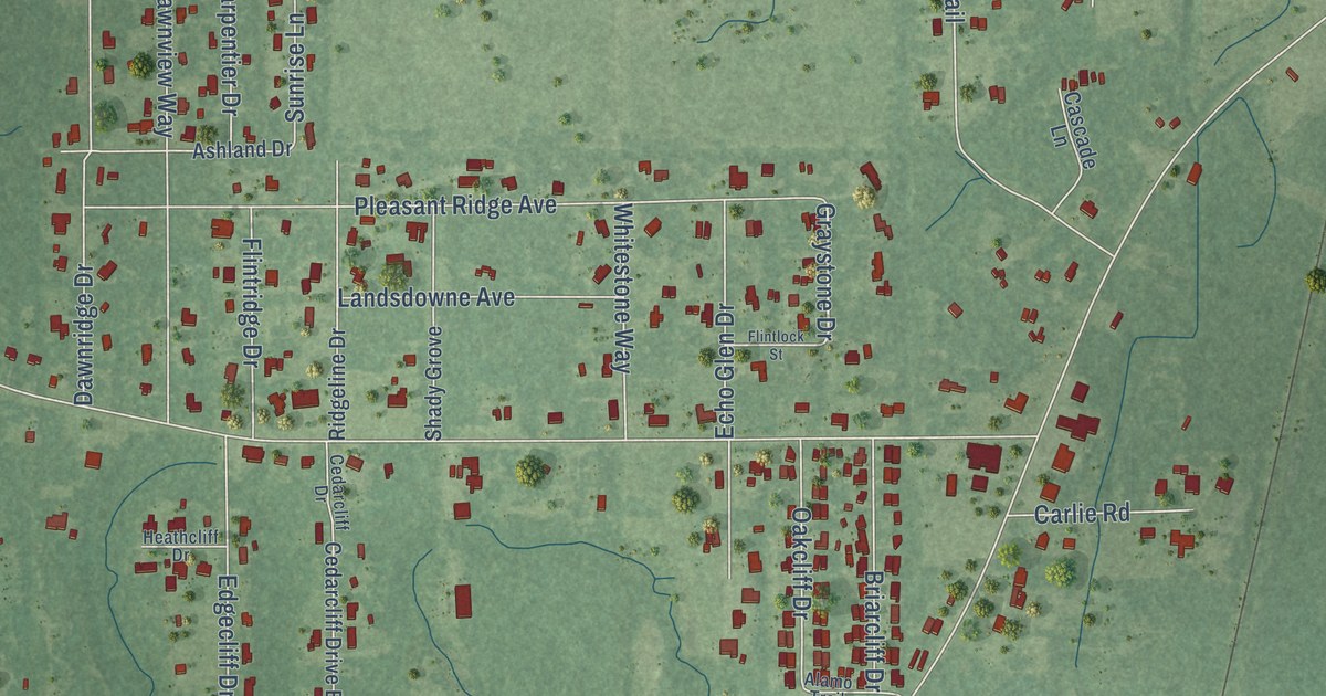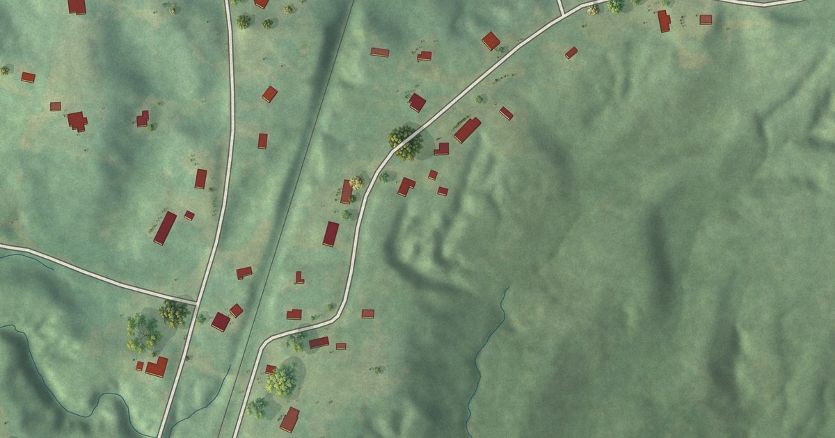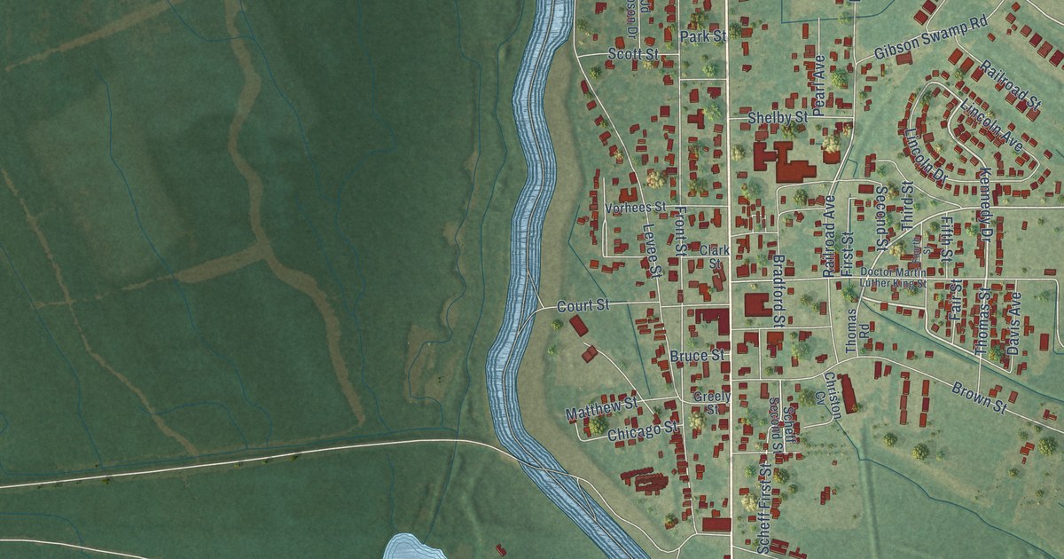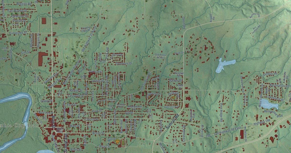
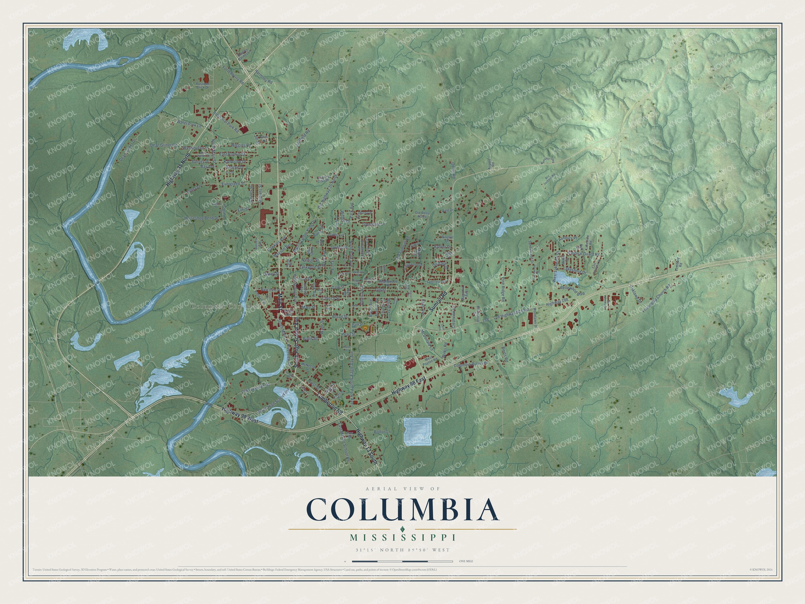
This beautifully detailed map of Columbia, Mississippi was created in 2026 using aerial imagery combined with modern topographical, census, street and landmark data. It’s a one-of-a-kind view of Columbia that combines accurate data with a vintage aesthetic. The map shows every building in its true location, many of the roads carry their names, and the shaded topographic relief shows the shape of the land.
Explore an aerial view of Columbia, Mississippi
On the map you’ll find Columbia City Hall, along with Main Street, South High School Avenue, Lumberton Road, Highway 35 North, Highway 98 East, Sumrall Road, Highway 98 West, Highway 13 South, Broad Street, West Avenue, National Guard Road, and more. If you look closely you can even find your house accurately drawn in its correct location. Zoom in on the preview to look for yours.
Did you know this piece of Columbia, Mississippi history?
From Dunbar Rowland’s 1907 encyclopedia of Mississippi history: "Columbia, the capital of Marion county, is an incorporated post-town on the east bank of the Pearl river, 80 miles south by east of Jackson. It was the State capital, by act of February 7, 1821, until the latter part of 1822."
Take a closer look at the Columbia map
Street and place names on the Columbia, Mississippi map
These names are printed on the map of Columbia, Mississippi.
Places: Columbia City Hall.
Streets and roads: Main Street, South High School Avenue, Lumberton Road, Highway 35 North, Highway 98 East, Sumrall Road, Highway 98 West, Highway 13 South, Broad Street, West Avenue, National Guard Road, Alberta Avenue.
More street names, A to Z
Acy Jackson Road, Airport Road, Alley Street, Arkansas Avenue, Ashbury Place, Aztec Trail, Barber Drive, Barnes Avenue, Barnes Street, Bay Avenue, Beatrice Avenue, Beets Road, Bellewood Boulevard, Bell Street, Bennett Street, Bolton Lane, Boone Street, Branton Avenue, Briarwood Drive, Broadmoor Avenue, Brown Avenue, Bryan Avenue, Bullis Street, Cane Cv, Carolyn Avenue, Chapman Street, Church Street, Clearview Drive, Columbia Purvis Road, Country Club Drive, Dale Drive, Dale Street, Dean Griner Drive, Dean Griner Road, Dewey Street, Duane Avenue, Duff Street, Dukes Avenue, Eagle Day Avenue, East Avenue, East Lakeview Drive, East Marion School Road, East Rankin Street, East Street, Edie Street, Elm Drive, Elm Street, Eric Drive, Evergreen Street, Ferrell Avenue, Ford Street, Fortenberry Road, Friendship Church Road, George Drive, Giles Drive, Gill Street, Glenmore Drive, Greymont Drive, Harmony Road, Harris Avenue, Hartfield Road, Hawkins Avenue, Hendricks Street, High School Avenue, Highway 198, Horseshoe Bend Drive, Horseshoe Drive, Humble Avenue, Industrial Park Road, Jackson Avenue, Jill Street, Jims Road, Jones Lane, Katherine Drive, Keys Avenue, Kings Avenue, Lafayette Street, Lakeshore Drive, Lakeview Road, Lombard Road, Lyncrest Avenue, Magnolia Avenue, Maple Avenue, Marion Avenue, Martin Luther King Drive, Mary Street, Mayson Avenue, McDaniel Street, McDonald Lane, McNeese Street, Meadowood Road, Meak Alley, Melba Street, Nathan Street, North Main Street, North Park Avenue, Oak Avenue, Oaklawn Drive, Odom Road, Old Foxworth Road, Old Highway 35 North, Old Highway 98 East, Old Lakeview Drive, Old Ross Acres, Old Sumrall Road, Orchard Drive, Orleans Street, Owens Street, Park Avenue, Park Street, Peach Street, Pearl Street, Pine Avenue, Pinehill Drive, Pinehurst Drive, Pine Ridge Road, Pittman Street, Pope Street, Porter Street, Prine Drive, Ramshur Loop, Ridgewood Drive, Riverview Drive, Rogers Avenue, Rustique Brick Drive, Sandalwood Drive, South Main Street, South Park Avenue, Stanley Barnes Lane, Stonewood Drive, Sunset Drive, Virginia Avenue, Wade Street, Washington Street, Water Park Lane, West Dale Street, West Lakeview Drive, West Payton Road, West Rankin Street, White Street, Wiggins Road, Wilks Road, Willow Drive, Winfield Road, Woodlawn Drive.
See the Columbia, Mississippi map on a wall
The Columbia map as an 18 x 24 inch print in a black frame.

This beautifully detailed map of Columbia makes an attractive addition to your office, library, or den, and it can even be used to teach children the geography and history of the area. It also makes a great gift for anyone who grew up in Columbia or moved away. When you’re done exploring, click here to get your copy of the Columbia map.