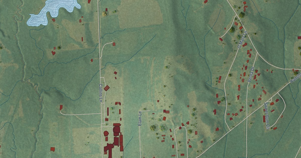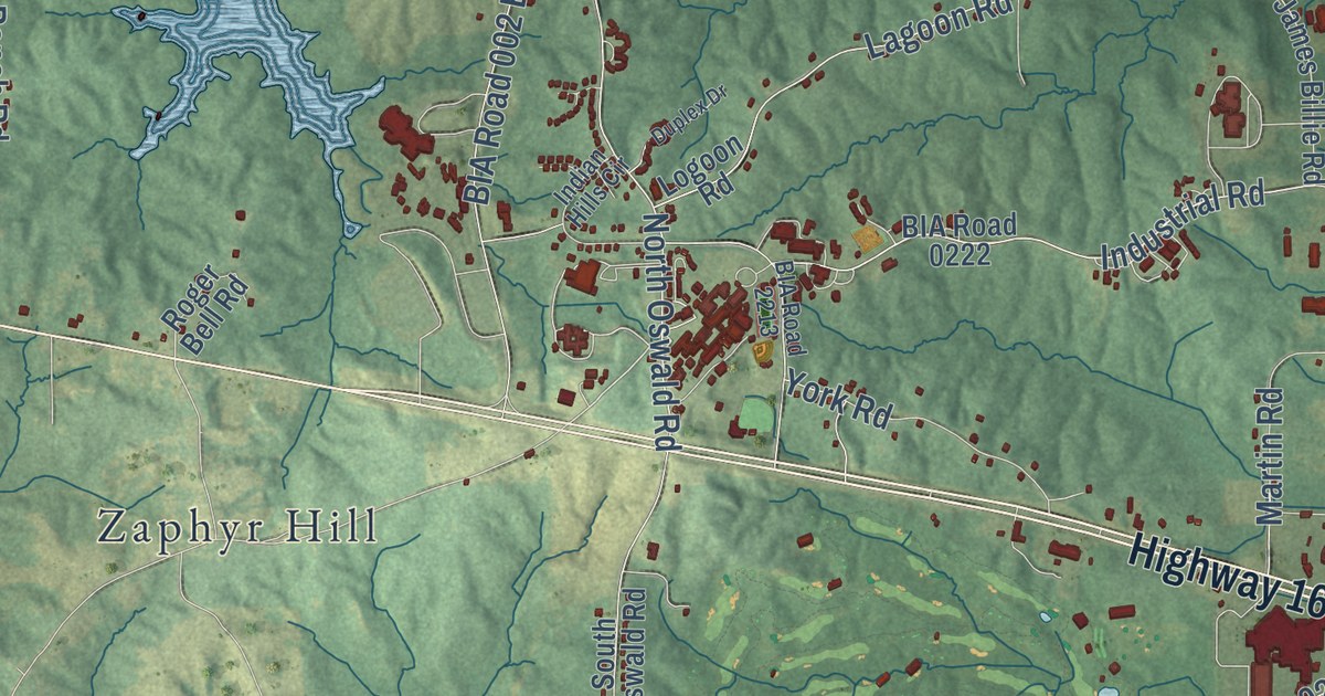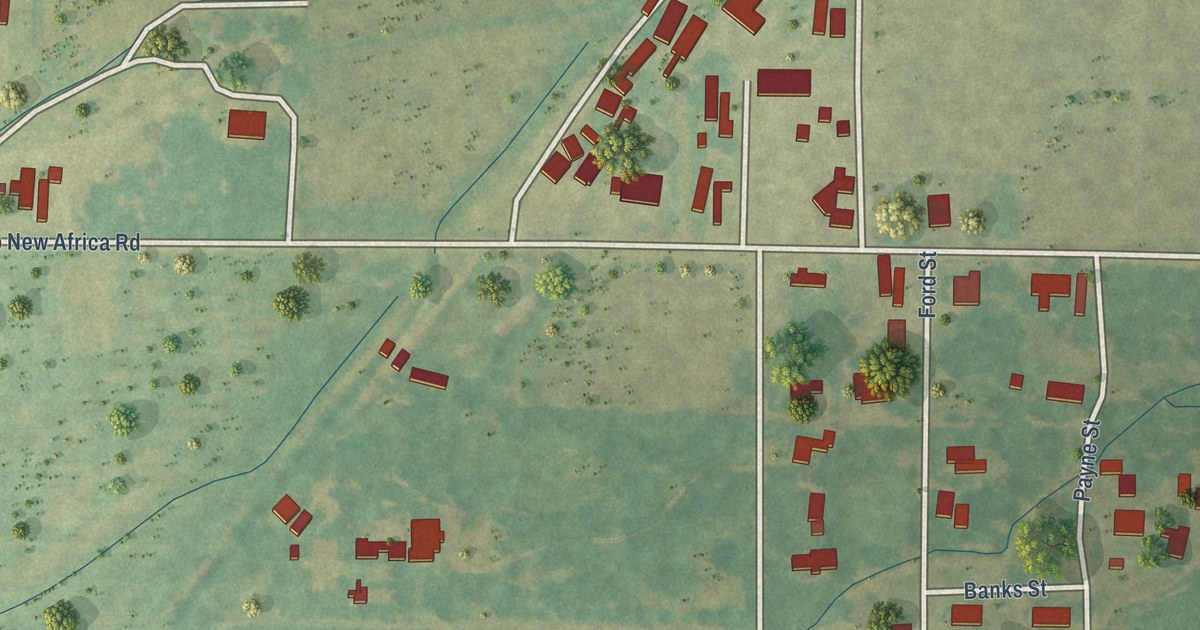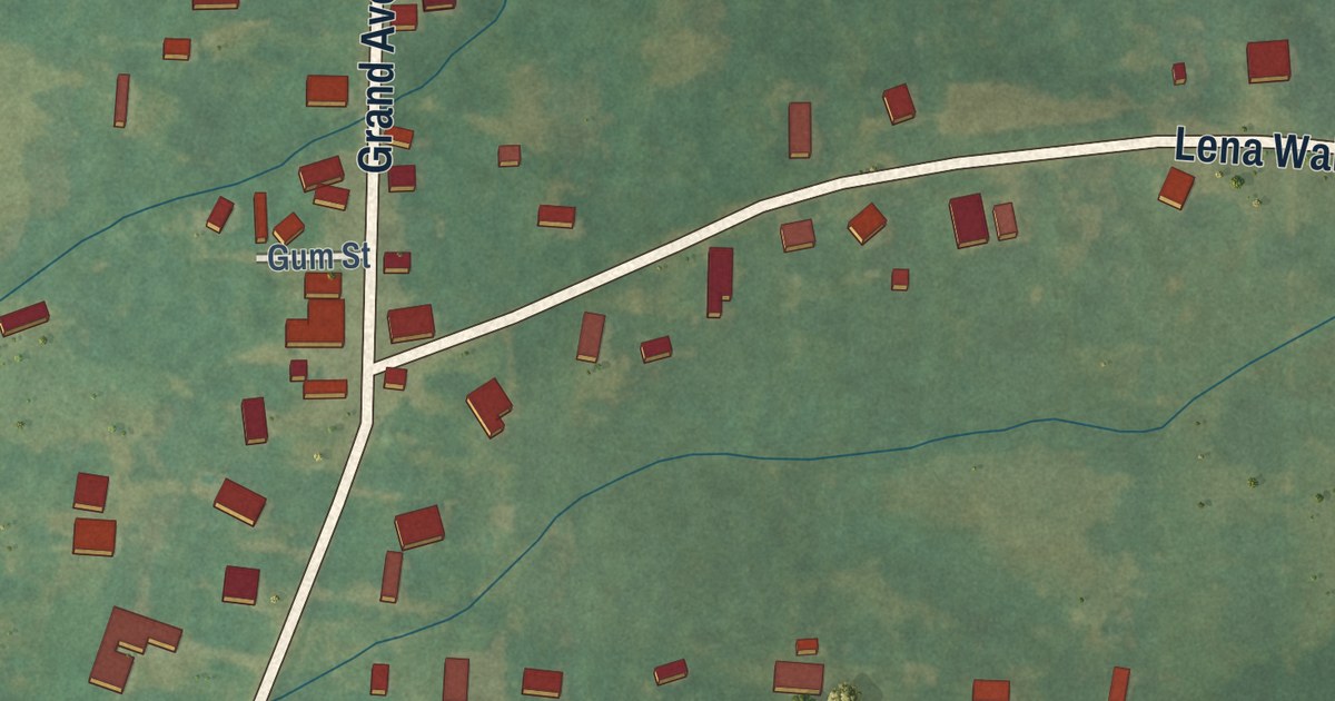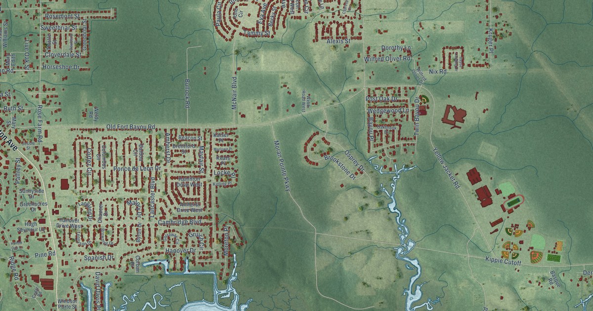
This beautifully detailed map of Gulf Hills, Mississippi was created in 2026 using aerial imagery combined with modern topographical, census, street and landmark data. It’s a one-of-a-kind view of Gulf Hills that combines accurate data with a vintage aesthetic. The map shows every building in its true location, many of the roads carry their names, and the shaded topographic relief shows the shape of the land.
Explore an aerial view of Gulf Hills, Mississippi
On the map you’ll find Kippie Cutoff, along with Washington Avenue, Tucker Road, Rose Farm Road, Walker Road, Tammy Street, Old Fort Bayou Road, Shore Drive, Yellow Jacket Road, Moran Pointe Parkway, Hanover Drive, McNair Boulevard, and more. If you look closely you can even find your house accurately drawn in its correct location. Zoom in on the preview to look for yours.
Did you know this piece of Gulf Hills, Mississippi history?
From the Gulf Hills Civic Association: "In 1962, Gulf Hills Dude Ranch, Inc. purchased the resort properties and created a new entertainment paradigm. The Dude Ranch became very popular for horseback riding, hay rides, square dancing, and swimming in addition to maintaining the Golf Club and hotel."
Take a closer look at the Gulf Hills map
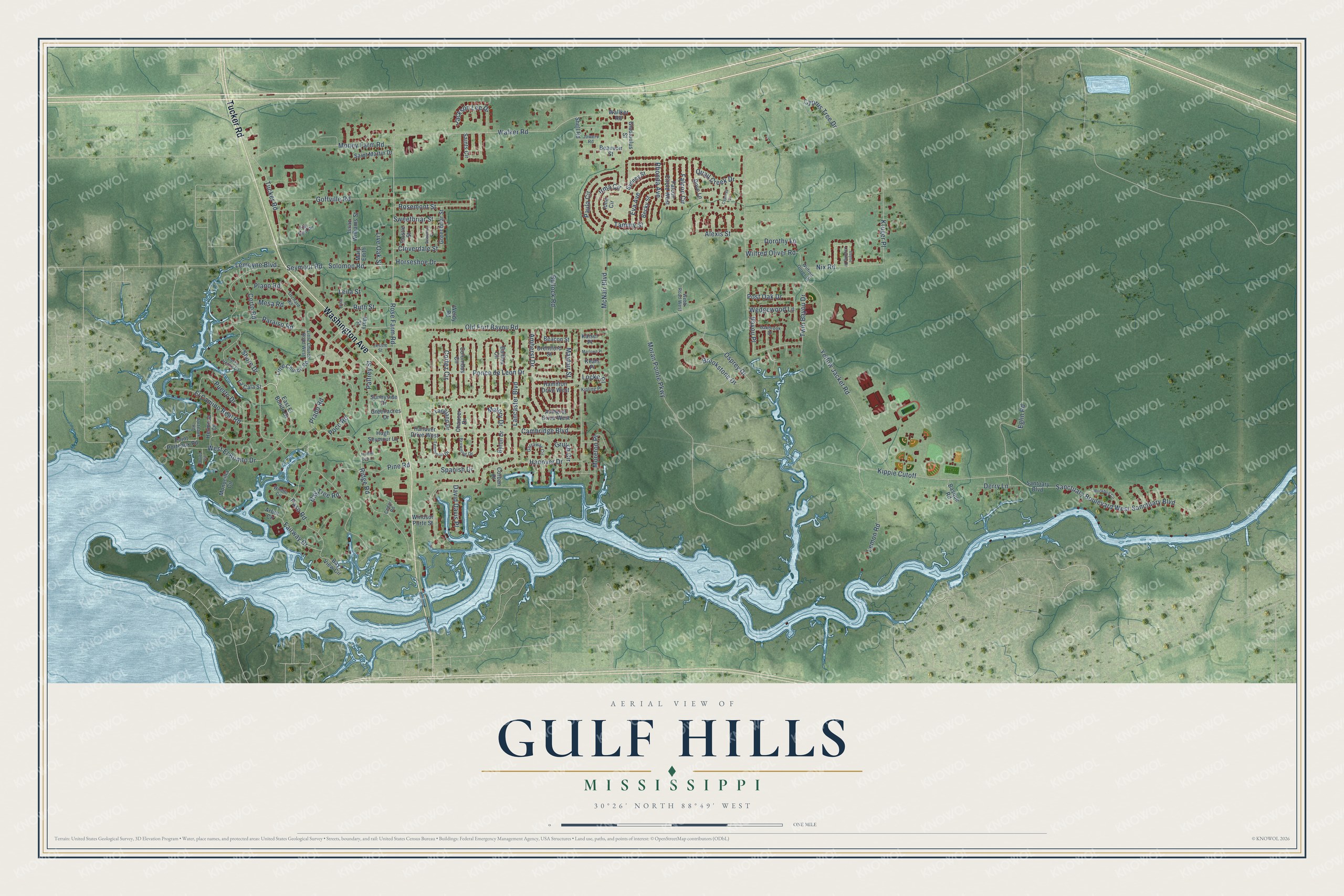
Street names on the Gulf Hills, Mississippi map
These names are printed on the map of Gulf Hills, Mississippi.
Streets and roads: Washington Avenue, Tucker Road, Rose Farm Road, Walker Road, Kippie Cutoff, Tammy Street, Old Fort Bayou Road, Shore Drive, Yellow Jacket Road, Moran Pointe Parkway, Hanover Drive, McNair Boulevard.
More street names, A to Z
Alexis Street, Amherst Drive, Amherst Drive West, Arbor Circle, Balboa Circle, Basque Road, Bayou Landing Drive, Bayou Place, Bay Tree Road, Bay View Circle, Beacon Street, Beauvoir Street, Becky Street, Brentford Street, Brookstone Drive, Browning Drive, Bullock Road, Byron Drive, Cambridge Boulevard, Cedar Road, Cerro Verde Drive, Chaucer Drive, Cloverdale Street, Columbus Circle, Corban Place, Cortez Circle, Corto Road, Cypress Circle, Cyprus Tree Drive, David Davis Place, Derry Lane, Dewberry Street, Dorothy Lane, Dove Lane, East El Bonito Drive, Eglin Road, El Camino Real Road, Elzy Byrd Road, Eva Avenue, Fairway Drive, Falcon Circle, Falcon Circle West, Garraway Circle, Gladioulus Street, Goffville Road, Greenacres Drive, Greenbriar Street, Gruich Circle, Hamilton Drive West, Hanover Drive West, Hermosa Drive, Hollow Oak Lane, Horseshoe Drive, Hugh Seymour Lane, Ione Circle, Irma Circle, Issac Williams Street, Jackson Lee Drive, Jessie Street, Josie Street, Jowers Road, Kaiser Place, Keats Place, Kipling Place, Kruger Place, La Cala Street, Lancaster Boulevard, Langland Drive, Leila Street, Lemon Road, Lemoyne Boulevard, Little Church Road, Little Church Road West, Live Oak Street, Locke Place, Malory Drive, Marlowe Place, Mary Edith, Mary Street, Mayfair Street, Mesa Road, Mockbird Circle, Money Farm Road, Monocilla Circle, Moreton Place, Nix Road, Oakbrook Drive, Olvida Circle, Orchard Road, Osprey Drive, Palfrey Street, Paraiso Road, Paso Road, Paula Circle, Pine Road, Plano Road, Poco Road, Point Porteaux Road, Ponce de Leon Drive, Porteaux Road, Post Oak Drive, Prado Road, Puerto Drive, Quail Creek Drive, Rhonda Avenue, Ridge Road, Rosemont Street, Ruth Street, Saint Martin Drive, Saints Circle, Sanctuary Boulevard, Sanctuary Boulevard West, Santuary Boulevard, Seymour Road, Shell Road, Solomon Road, Spanish Drive, Sunnyside Drive, Sweetbriar Street, Sydney Street, Tennyson Drive, Thistle Street, Twin Bayou Drive, Wallker Road, Webb Road West, Wedgewood Lane, Weldy Road, West El Bonito Drive, Wilfred Oliver Drive, Wilfred Oliver Road, Windlo Circle, Windsor Porte Street.
See the Gulf Hills, Mississippi map on a wall
The Gulf Hills map as an 18 x 24 inch print in a black frame.

This beautifully detailed map of Gulf Hills makes an attractive addition to your office, library, or den, and it can even be used to teach children the geography and history of the area. It also makes a great gift for someone who left Gulf Hills and still calls it home. When you’re done exploring, click here to get your copy of the Gulf Hills map.