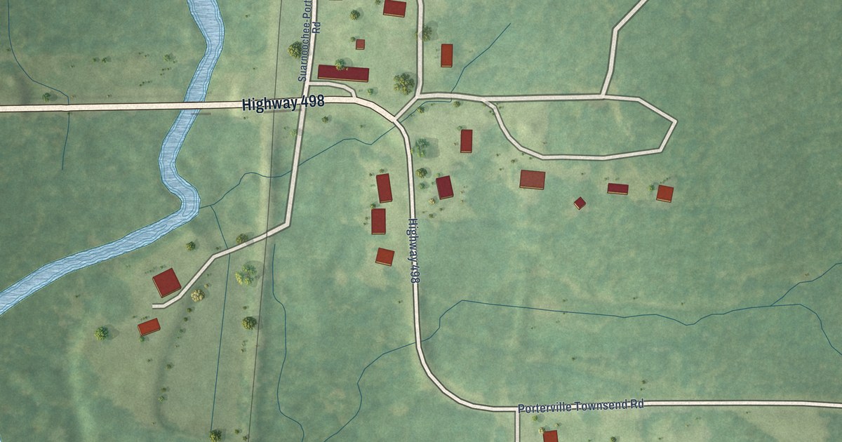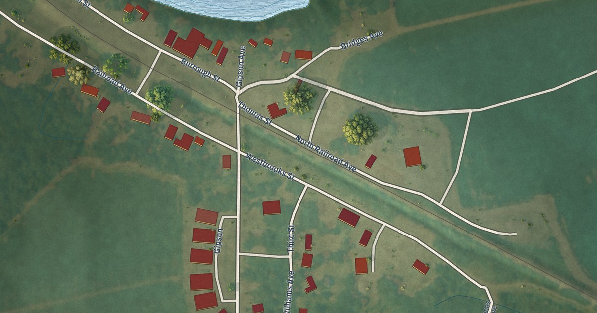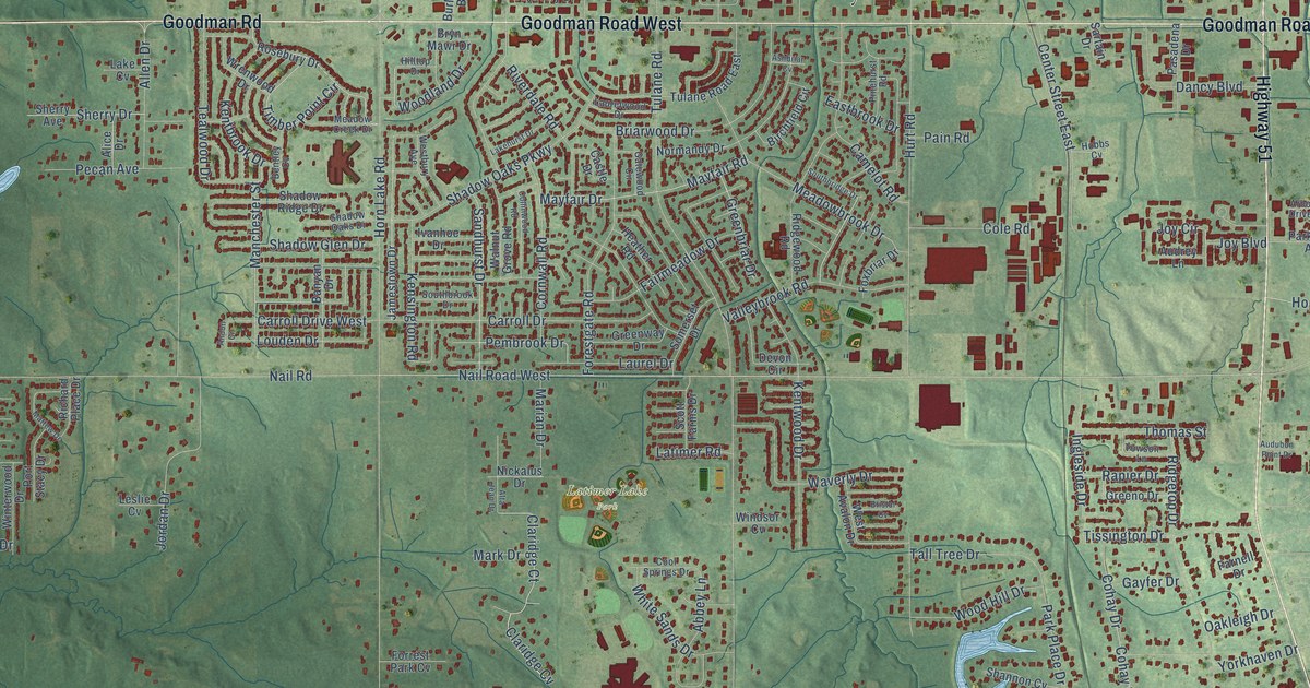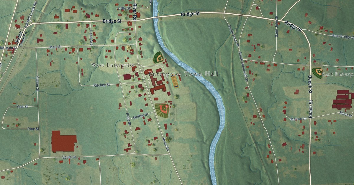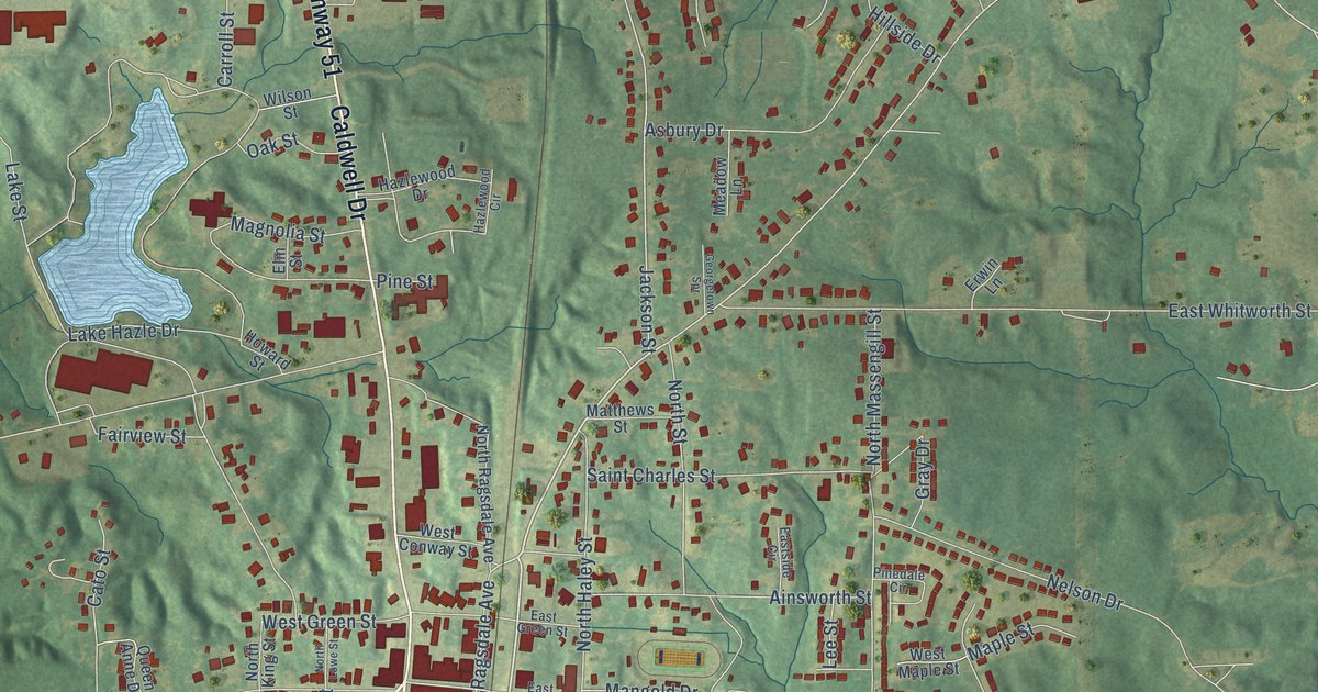
This beautifully detailed map of Hazlehurst, Mississippi was created in 2026 using aerial imagery combined with modern topographical, census, street and landmark data. It’s a one-of-a-kind view of Hazlehurst that combines accurate data with a vintage aesthetic. The map shows every building in its true location, many of the roads carry their names, and the shaded topographic relief shows the shape of the land.
Explore an aerial view of Hazlehurst, Mississippi
On the map you’ll find South Street Extension, along with Highway 51, Highway 28, Caldwell Drive, East Frost Street, West Frost Street, Georgetown Street, Monticello Street, Larkin Street, Booker Street, Jackson Street, Mangold Drive, and more. If you look closely you can even find your house accurately drawn in its correct location. Zoom in on the preview to look for yours.
Did you know this about Hazlehurst, Mississippi?
From Mississippiencyclopedia.org: "Jackson-born playwright Beth Henley set her play and movie Crimes of the Heart in Hazlehurst."
Take a closer look at the Hazlehurst map
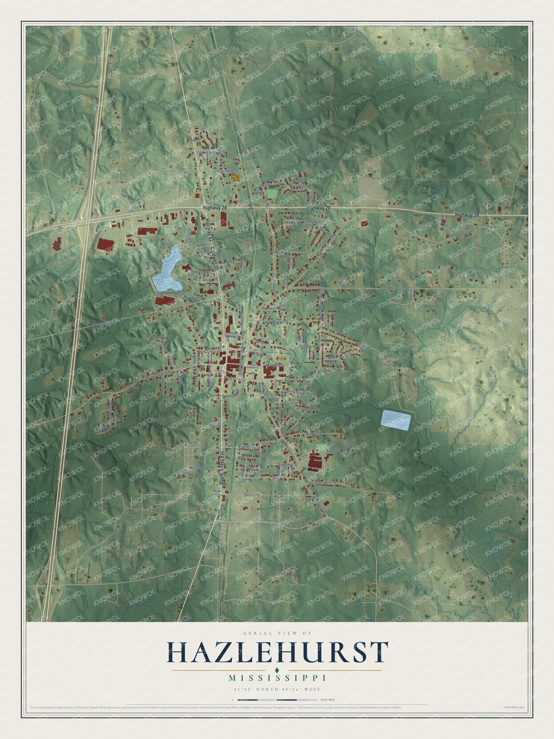
Street names on the Hazlehurst, Mississippi map
These names are printed on the map of Hazlehurst, Mississippi.
Streets and roads: Highway 51, South Street Extension, Highway 28, Caldwell Drive, East Frost Street, West Frost Street, Georgetown Street, Monticello Street, Larkin Street, Booker Street, Jackson Street, Mangold Drive.
More street names, A to Z
Ainsworth Street, Asbury Drive, Autumn Street, Banks Street, Beacham Street, Beasley Road, Bradley Street, Bradley Street Extension, Butler Street, Carlisle Street, Carroll Street, Cato Street, Cora Street, Covington Street, Dale Drive, Davis Street, Dogwood Drive, Downing Street, East Damascus Street, East Gallatin Street, East Green Street, East Miller Street, Eastside Circle, East Whitworth Street, Edgewood Drive, Elm Street, Erwin Lane, Fair Street, Fairview Street, Faler Street, First Street, Gardner Street, Georgetown Spr, Graves Street, Gray Drive, Hamilton Drive, Hazlewood Circle, Hazlewood Drive, Hillside Drive, Howard Street, Jim Hutchison Drive, John Street, Keri Drive, Lake Hazle Drive, Lake Street, Lee Ann Drive, Lee Street, Lilly Road, Lodge Street, Longie Dale Lane, Long Lane, Long Street, Magnolia Street, Mangole Street, Maple Street, Matthews Street, Meadow Lane, Miller Street Extension, Mill Street, Missionary Road, Mississippi Street, Nelson Drive, New Life Church Road, North Haley Street, North King Street, North Lowe Street, North Massengill Street, North Ragsdale Avenue, North Street, Oak Street, Pinedale Circle, Pinehurst Circle, Pine Street, Pineview Drive, Prine Lane, Queen Anne Drive, Roebuck Court, Saint Charles Street, School Drive, Simmons Street, Sinclair Street, South Haley Street, South King Street, South Lowe Street, South Massengill Street, South Ragsdale Avenue, State Street, Stowell Street, Tom-Cliff Lane, Vardaman Street, Vfw Road, West Conway Street, West Gallatin Street, West Green Street, West Maple Street, West Miller Street, Westover Drive, West Street, West Whitworth Street, Williams Street, Wilson Street, Winston Street, Woodard Street, Wood Lane.
See the Hazlehurst, Mississippi map on a wall
The Hazlehurst map as an 18 x 24 inch print in a black frame.

This beautifully detailed map of Hazlehurst makes an attractive addition to your office, library, or den, and it can even be used to teach children the geography and history of the area. It also makes a great gift for someone who left Hazlehurst and still calls it home. When you’re done exploring, click here to get your copy of the Hazlehurst map.