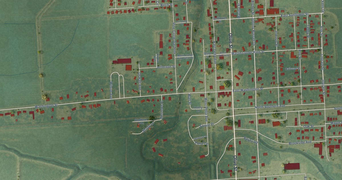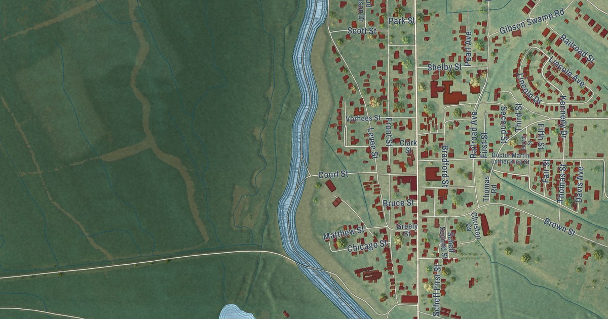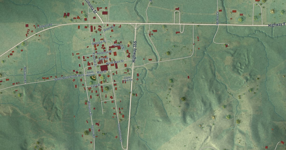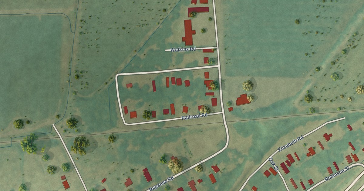
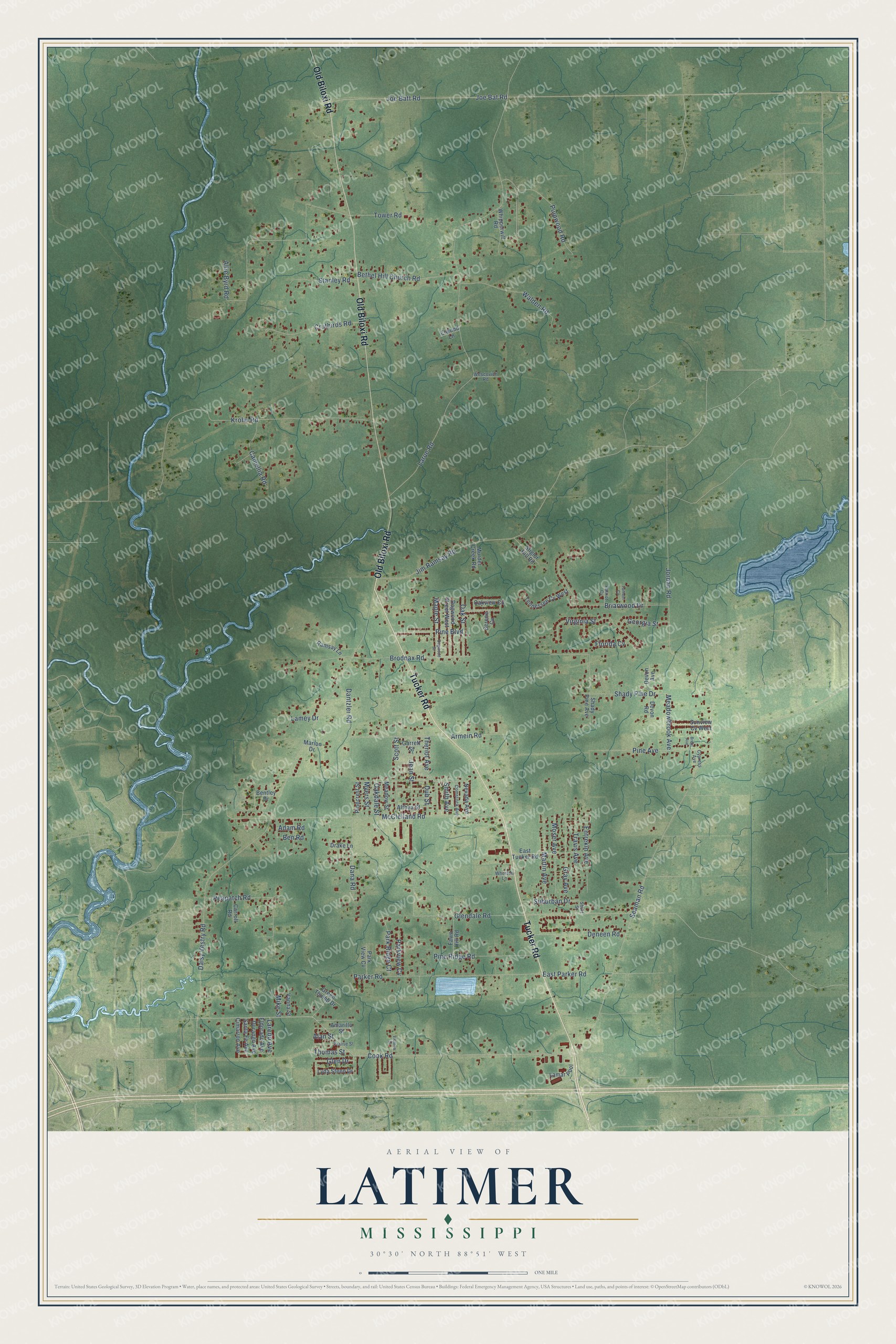
This beautifully detailed map of Latimer, Mississippi was created in 2026 using aerial imagery combined with modern topographical, census, street and landmark data. It’s a one-of-a-kind view of Latimer that combines accurate data with a vintage aesthetic. The map shows every building in its true location, many of the roads carry their names, and the shaded topographic relief shows the shape of the land.
Explore an aerial view of Latimer, Mississippi
On the map you’ll find Tucker Road, Old Biloxi Road, Cook Road, Dantzler Road, McClelland Road, Daisy Vestry Road, Larue Road, Seaman Road, Glendale Road, Allie Byrd Road, Jordan Road, Krohn Road, and more. If you look closely you can even find your house accurately drawn in its correct location. Zoom in on the preview to look for yours.
Did you know this piece of Latimer, Mississippi history?
From the Ocean Springs Archives: "Martin and Latimer communities north of Fort Bayou were especially well known for sheep husbandry."
Take a closer look at the Latimer map
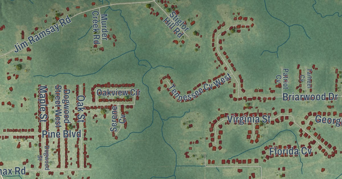
Street names on the Latimer, Mississippi map
These names are printed on the map of Latimer, Mississippi.
Streets and roads: Tucker Road, Old Biloxi Road, Cook Road, Dantzler Road, McClelland Road, Daisy Vestry Road, Larue Road, Seaman Road, Glendale Road, Allie Byrd Road, Jordan Road, Krohn Road.
More street names, A to Z
Adam Road, Alan Street, Althea Street, Amarillo Street, Armein Road, Ben Road, Bentley Drive, Bethel Hill Church Road, Brent Avenue, Briarwood Drive, Brodnax Road, Camellia Road, Carroll Road, Cimarron Avenue, Comstock Avenue, Cruthirds Road, Cypress Avenue, Dana Road, Deneen Road, Devon Avenue, Devon Road, Dogwood Street, Dogwood Street West, Drake Lane, Dub Street, Durango Avenue, East Parker Road, East Tucker Road, Eldorado Avenue, Elwood Lane, Entrekin Avenue, Fawn Hill Road, Florida Cv, Garrett Street, Georgia Street, Glen Drive, Gray Avenue, Green Thumb Drive, Jean Street, Jim Ramsay Road, Joe Bat Road, Joe Batt Road, Lamar Pool, Lamey Drive, Laredo Avenue, Lyda Steen Drive, Maple Street, Marion Drive, Martin Avenue, Meadowbrook Avenue, Meadow Street, Mike Street, Moser Avenue, Murder Creek Road, Myers Street, Nevada Avenue, Oakdale Street, Oak Street, Oakview Circle, Parker Road, Park Ridge Court, Parkview Cv, Park View Cv, Patriot Cv, Peapatch Road, Pine Avenue, Pine Boulevard, Pinecrest Street, Pine Ridge Road, Prairie Street, Pulpwood Road, Ramsay Lane, Santa Fe Avenue, Scott Street, Serene Cv, Shady Pine Avenue, Shady Pine Drive, Short Street, Smith Avenue, Stanley Road, Stiglor Hill Road, Suburban Drive, Sunview Cv West, Tarheel Cv, Tennessee Cv West, Theriot Avenue, Thomas Street, Tower Road, Travis Avenue, Vanna Street, Victoria Drive, Virginia Street, Walden Road, Wescovich Road, Whipperwill Road, Whorton Lane.
See the Latimer, Mississippi map on a wall
The Latimer map as an 18 x 24 inch print in a black frame.

This beautifully detailed map of Latimer makes an attractive addition to your office, library, or den, and it can even be used to teach children the geography and history of the area. It also makes a great gift for anyone with Latimer roots. When you’re done exploring, click here to get your copy of the Latimer map.