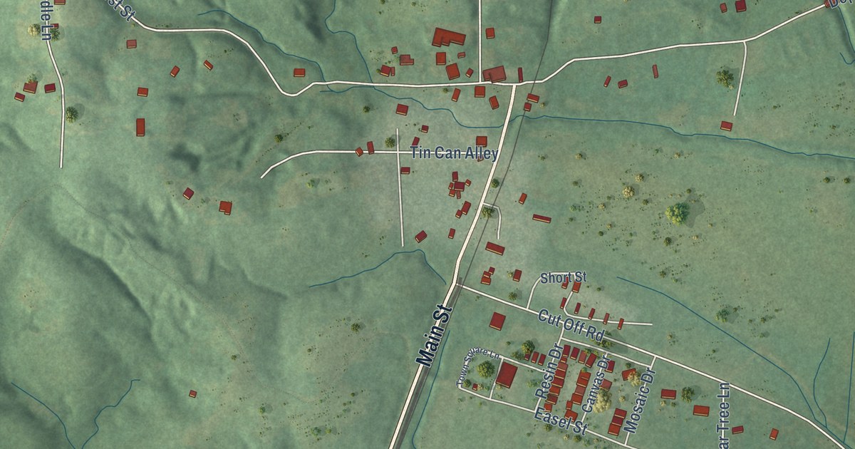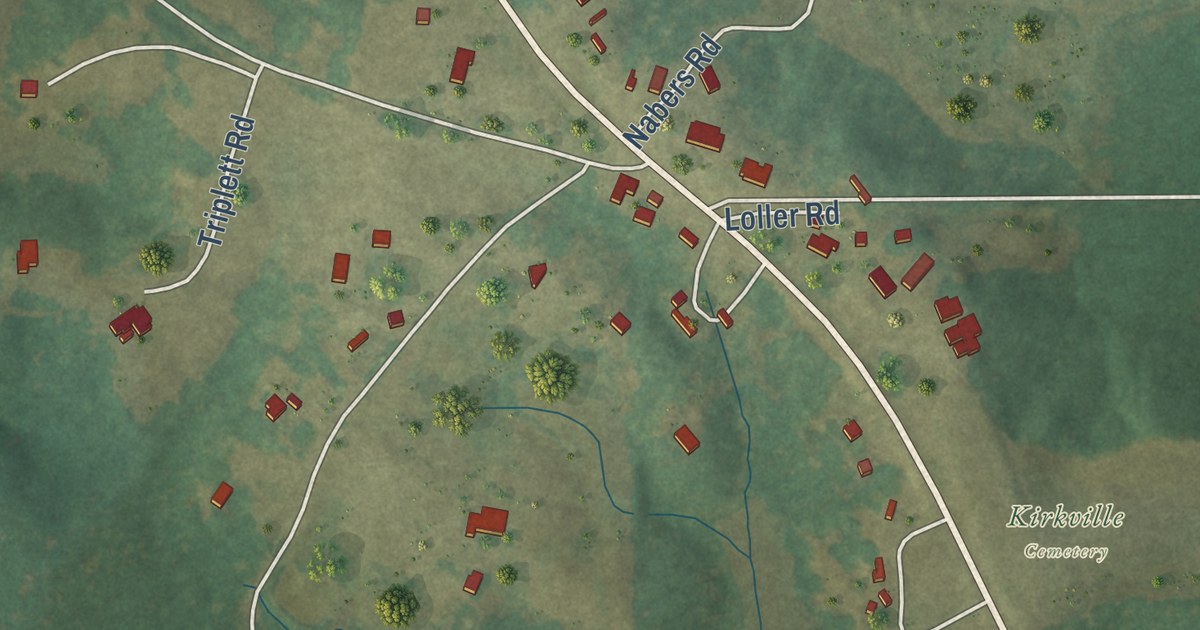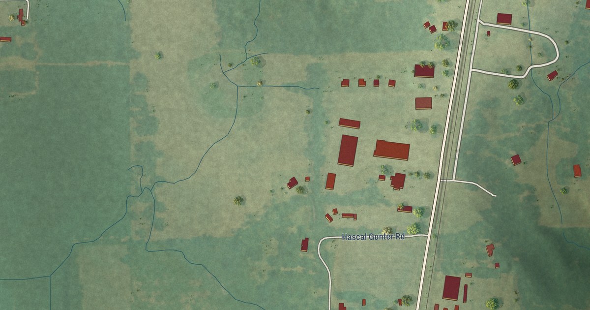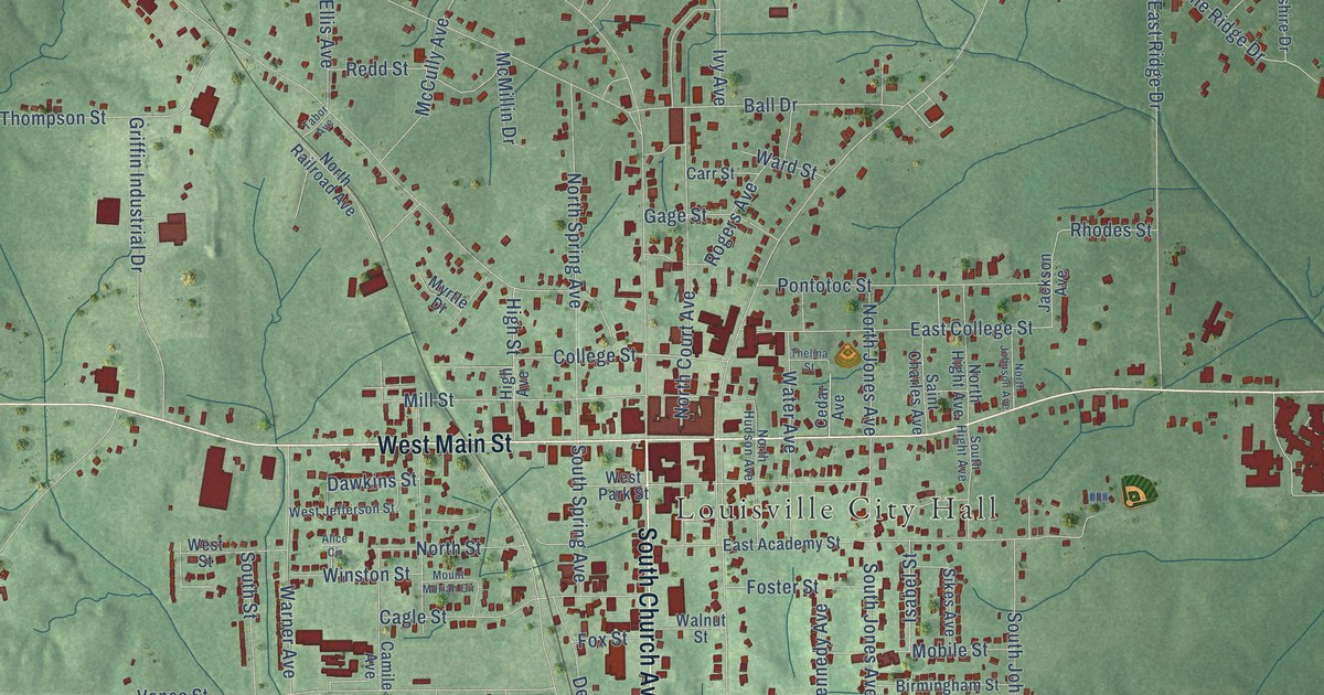
This beautifully detailed map of Louisville, Mississippi was created in 2026 using aerial imagery combined with modern topographical, census, street and landmark data. It’s a one-of-a-kind view of Louisville that combines accurate data with a vintage aesthetic. The map shows every building in its true location, many of the roads carry their names, and the shaded topographic relief shows the shape of the land.
Explore an aerial view of Louisville, Mississippi
On the map you’ll find Louisville City Hall, along with South Church Avenue, West Main Street, East Main Street, North Church Avenue, Metts Street, North Columbus Avenue, McCullough Road, Miller Avenue, Smyth Lake Road, Ackerman Street, Ivy Avenue, and more. If you look closely you can even find your house accurately drawn in its correct location. Zoom in on the preview to look for yours.
Did you know this piece of Louisville, Mississippi history?
From the Mississippi Cyclopedia: "It was named in honor of Colonel Louis Winston, an early settler."
Take a closer look at the Louisville map
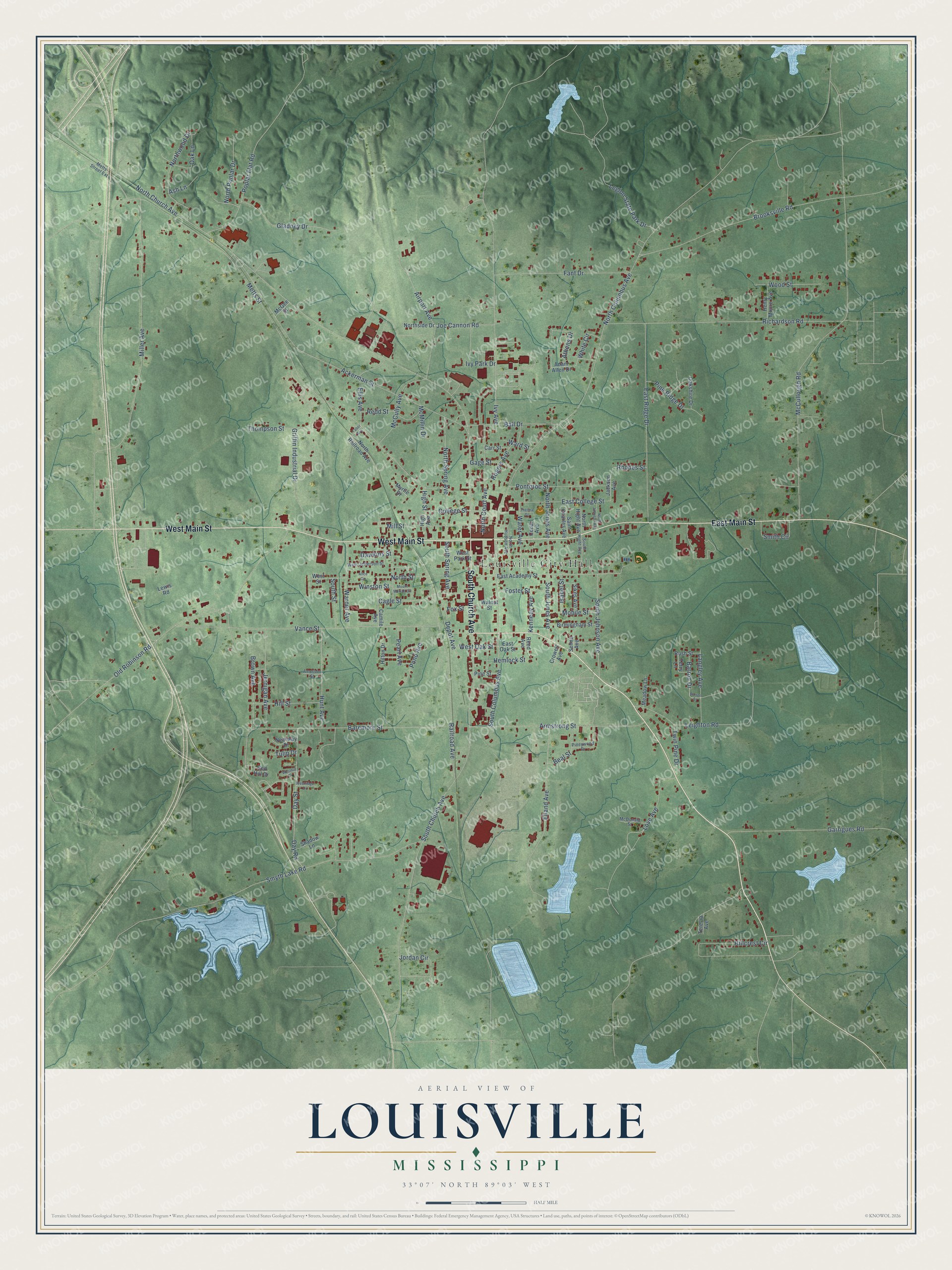
Street and place names on the Louisville, Mississippi map
These names are printed on the map of Louisville, Mississippi.
Places: Louisville City Hall.
Streets and roads: South Church Avenue, West Main Street, East Main Street, North Church Avenue, Metts Street, North Columbus Avenue, McCullough Road, Miller Avenue, Smyth Lake Road, Ackerman Street, Ivy Avenue, Baremore Street.
More street names, A to Z
Adam Allen Drive, Airport Avenue, Alice Circle, Amerson Street, Armstrong Street, Ash Lane, Athens Drive, Ball Drive, Barron Drive, Barron Street, Beal Street, Birmingham Street, Brooksville Road, Brown Avenue, Cagle Street, Camile Avenue, Carr Street, Cedar Avenue, College Street, Crowell Avenue, Dawkins Street, Day Road, Day Street, Depot Avenue, East Academy Street, East College Street, East Oak Street, East Ridge Drive, Eiland Avenue, Ellis Avenue, Fant Drive, Foster Street, Fox Street, Gage Street, Garrigues Road, Gladney Drive, Griffin Industrial Drive, Hemlock Street, Henry Moore Avenue, High Avenue, High Street, Hillcrest Circle, Hill Street, Hilton Drive, Hunt Avenue, Isabel Street, Ivy Park Drive, Jackson Avenue, Jernigan Avenue, Joe Cannon Road, Jordan Circle, Kennedy Avenue, Langley Avenue, Legion State Park Drive, Leighton Road, Lewis Road, Love Avenue, McCully Avenue, McDonald Street, McGee Street, McMillin Drive, Meadow Lane, Metts Street Extension, Mill Street, Mobile Street, Mount Moriah Circle, Myrtle Drive, Nearway Drive, North Court Avenue, North Hight Avenue, North Hudson Avenue, North Johnson Avenue, North Jones Avenue, North Poplar Drive, North Railroad Avenue, Northside Drive, North Spring Avenue, North Street, Northwood Drive, Oak Lane, Oakshire Drive, Old Robinson Road, Pearl Avenue, Pine Ridge Drive, Pine Street, Pineywood Drive, Pond Avenue, Pontotoc Street, Poplar Flat Road, Railroad Avenue, Redd Street, Red Hill Drive, Reed Avenue, Rhodes Street, Richardson Road, Rogers Avenue, Rush Street, Saint Charles Avenue, Selma Avenue, Shadow Lane, Sikes Avenue, Smith Circle, South Columbus Avenue, South Hight Avenue, South Johnson Avenue, South Jones Avenue, South Spring Avenue, South Street, Tabor Avenue, Terecia Avenue, Terry Lane, Thelma Street, Thompson Street, Tulip Drive, Twin Pine Drive, Vance Street, Walnut Street, Ward Street, Warner Avenue, Water Avenue, Westhill Drive, West Jefferson Street, West Oak Street, West Park Street, Westridge Drive, West Street, White Circle, Winston Street, Wood Street.
See the Louisville, Mississippi map on a wall
The Louisville map as an 18 x 24 inch print in a black frame.

This beautifully detailed map of Louisville makes an attractive addition to your office, library, or den, and it can even be used to teach children the geography and history of the area. It also makes a great gift for anyone with Louisville roots. When you’re done exploring, click here to get your copy of the Louisville map.