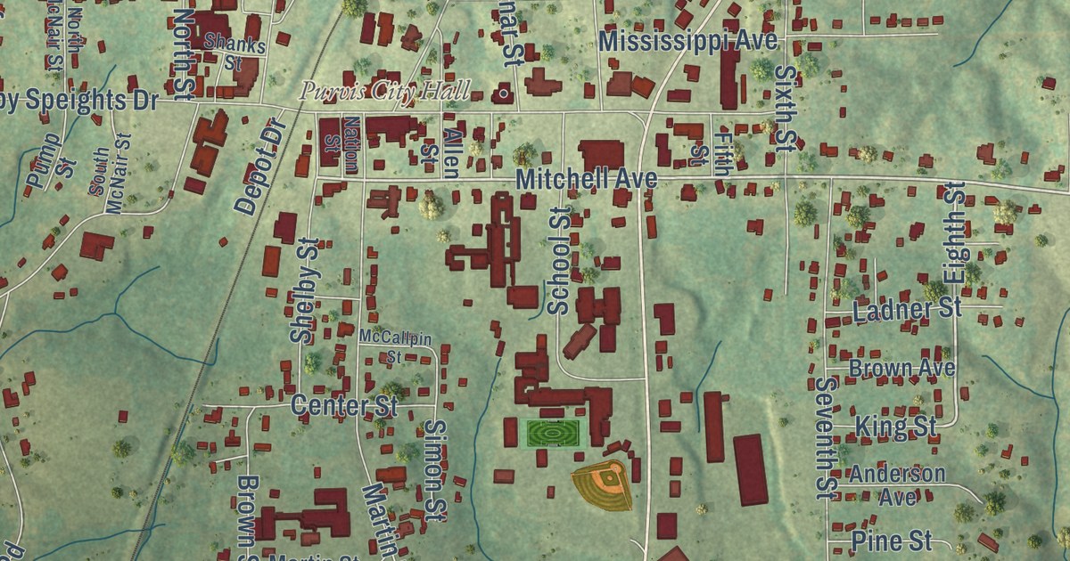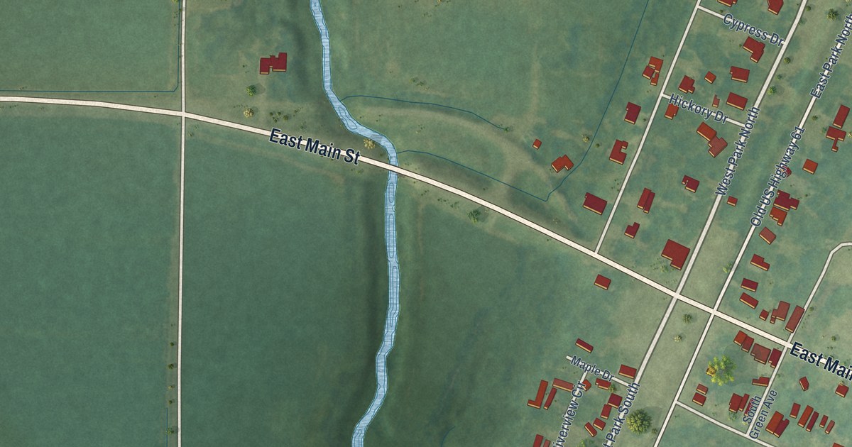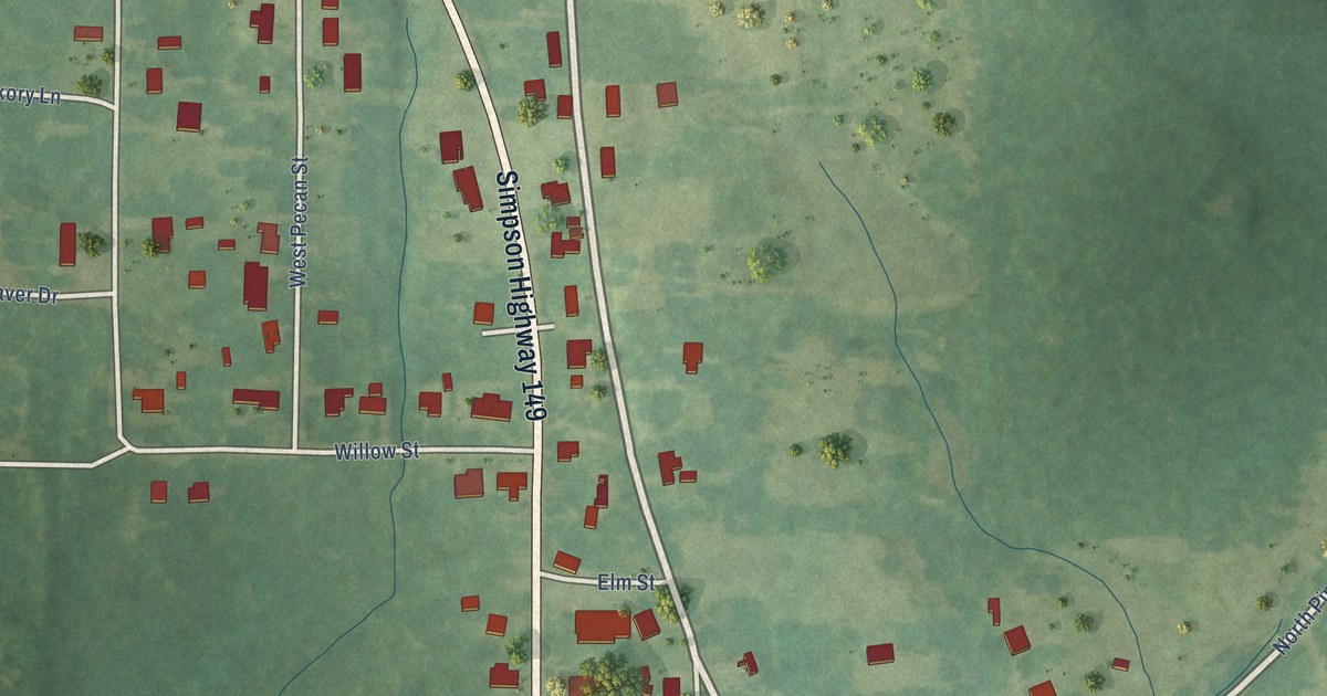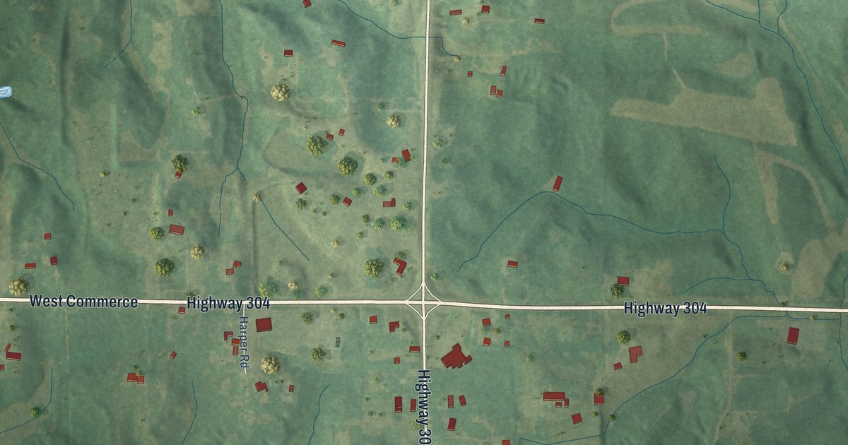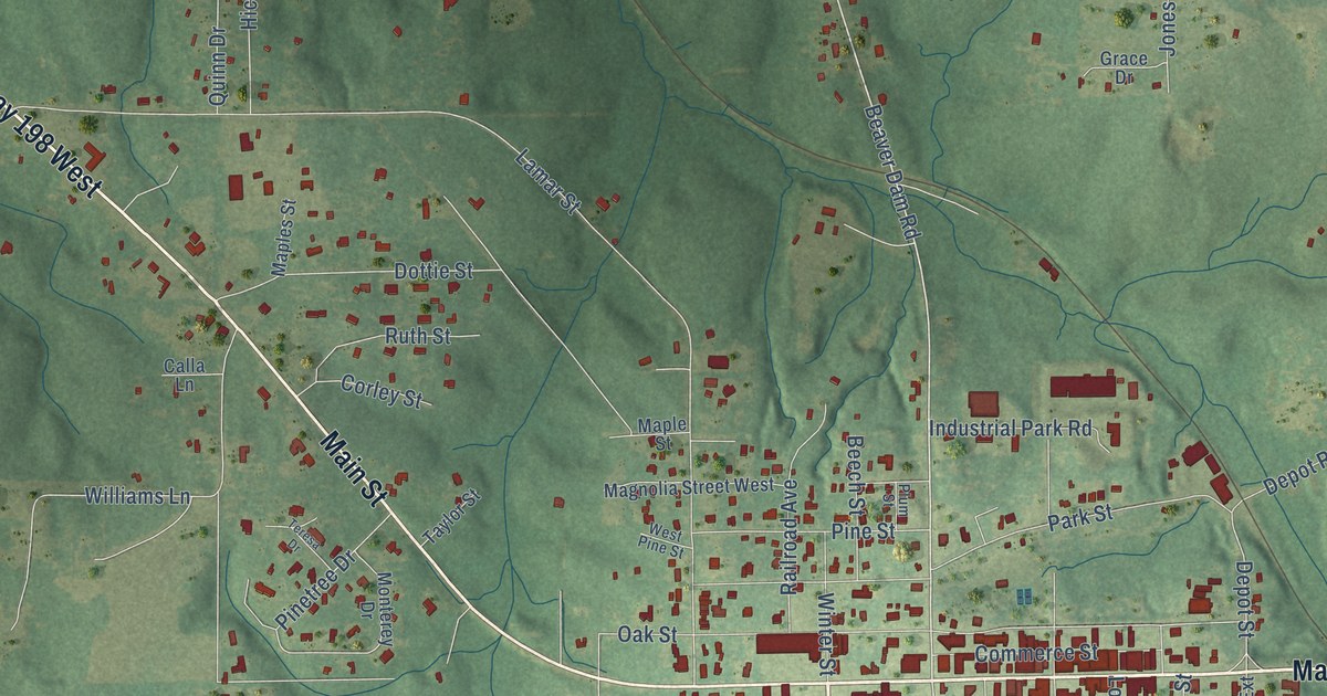
This beautifully detailed map of Lucedale, Mississippi was created in 2026 using aerial imagery combined with modern topographical, census, street and landmark data. It’s a one-of-a-kind view of Lucedale that combines accurate data with a vintage aesthetic. The map shows every building in its true location, many of the roads carry their names, and the shaded topographic relief shows the shape of the land.
Explore an aerial view of Lucedale, Mississippi
On the map you’ll find Winter Street, Cowart Street, Highway 198 West, Main Street, Highway 98, Highway 26 West, Highway 613, Beaver Dam Road, Summer Street, Mable Street, Church Street, Depot Street, and more. If you look closely you can even find your house accurately drawn in its correct location. Zoom in on the preview to look for yours.
Did you know this piece of Lucedale, Mississippi history?
From the Mississippi A Guide to the Magnolia State: "Carved out of back country woodlands to become a bustling lumber town in 1898, it lost this identity with the decline of the industry in the 1920’s."
Take a closer look at the Lucedale map
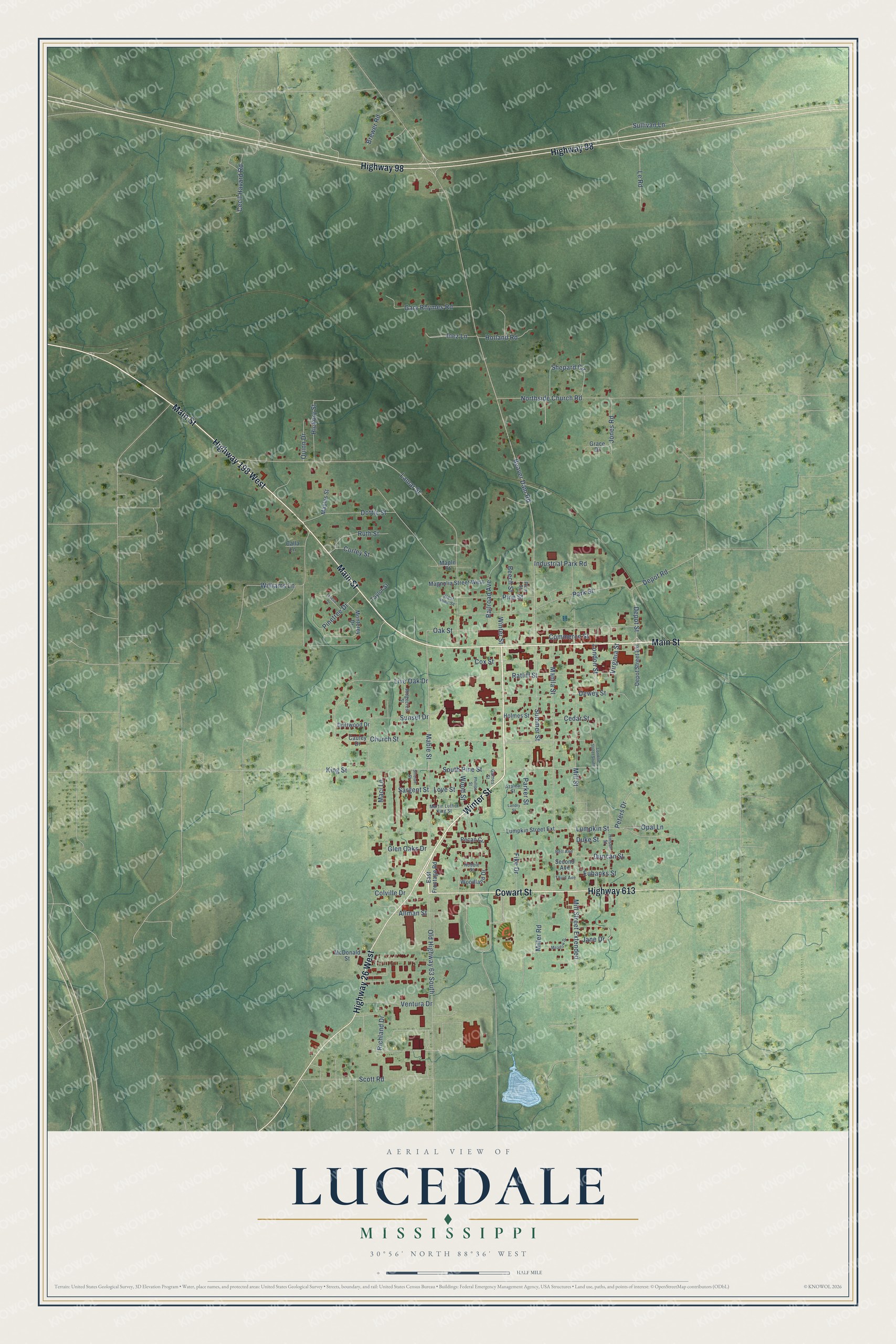
Street names on the Lucedale, Mississippi map
These names are printed on the map of Lucedale, Mississippi.
Streets and roads: Winter Street, Cowart Street, Highway 198 West, Main Street, Highway 98, Highway 26 West, Highway 613, Beaver Dam Road, Summer Street, Mable Street, Church Street, Depot Street.
More street names, A to Z
Allman Street, Azalea Street, Beech Street, Bell Avenue, Brewer Road, Calla Lane, Cauley Drive, Cecil Havard Road, Cedar Street, Colville Drive, Commerce Street, Corley Street, Cox Street, Depot Road, Depot Street Extension, Dewey Street, Dottie Street, Driftwood Drive, Duke Street, Duncan Street, East Frontage Road, Eubanks Street, Fike Drive, Gaines Street, Gary Rhymes Road, Glen Oaks Drive, Grace Drive, Hickory Street, Hinson Street, Holland Road, Holmes Street, Industrial Park Road, Inez Lane, Jane Drive, Jones Road, King Street, Lamar Street, Landry Street, Le Road, Live Oak Drive, London Street, London Street South, Love Street, Lumpkin Street, Lumpkin Street Extension, Maci Lane, Magnolia Street West, Manila Street, Maples Street, Maple Street, Martin Luther King Street, McDonald Street, Meadow Drive, Miller Road, Mill Street, Mill Street Extended, Monterey Drive, Northside Church Road, Oak Street, Old Highway 63 South, Opal Lane, Parker Street, Park Street, Pecan Circle, Peters Drive, Phillips Street, Pine Street, Pinetree Drive, Plum Street, Quinn Drive, Railroad Avenue, Ratliff Street, Richland Drive, Ridgecrest Street, Robbie Street, Ruth Street, Sargent Street, Scott Road, Second Avenue, Shepard Circle, Sinclair Street, South Pine Street, Sullivan Lane, Sunset Drive, Taylor Street, Teresa Drive, Third Avenue, Ventura Drive, Virginia Street, West Pine Street, Williams Lane, Woodland Drive, Wood Street.
See the Lucedale, Mississippi map on a wall
The Lucedale map as an 18 x 24 inch print in a black frame.

This beautifully detailed map of Lucedale makes an attractive addition to your office, library, or den, and it can even be used to teach children the geography and history of the area. It also makes a great gift for someone who left Lucedale and still calls it home. When you’re done exploring, click here to get your copy of the Lucedale map.