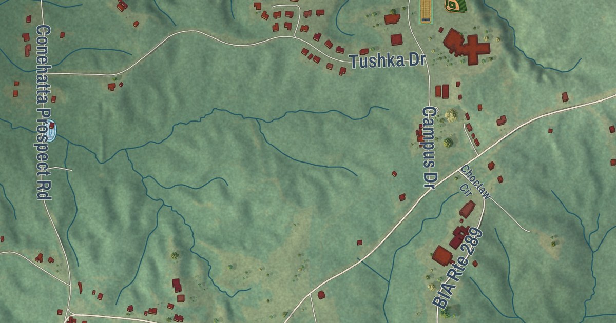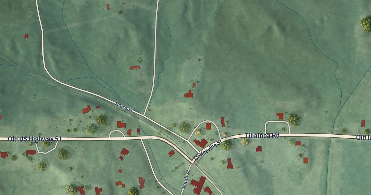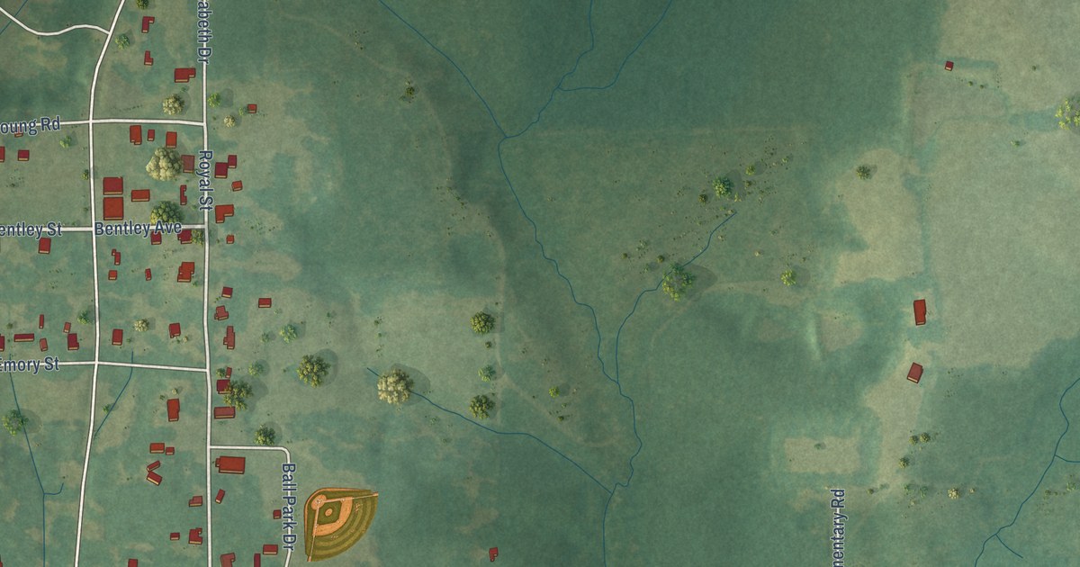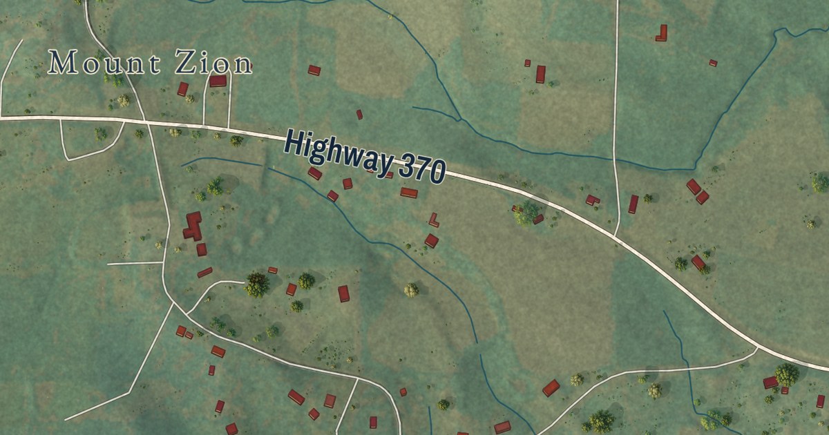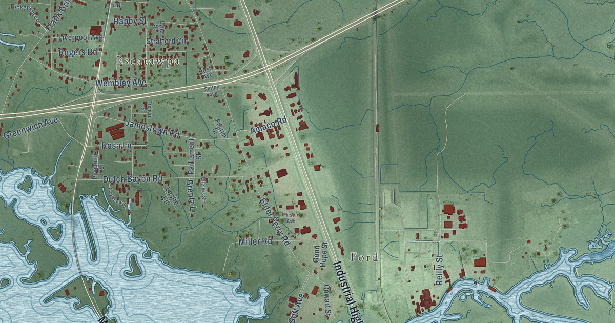
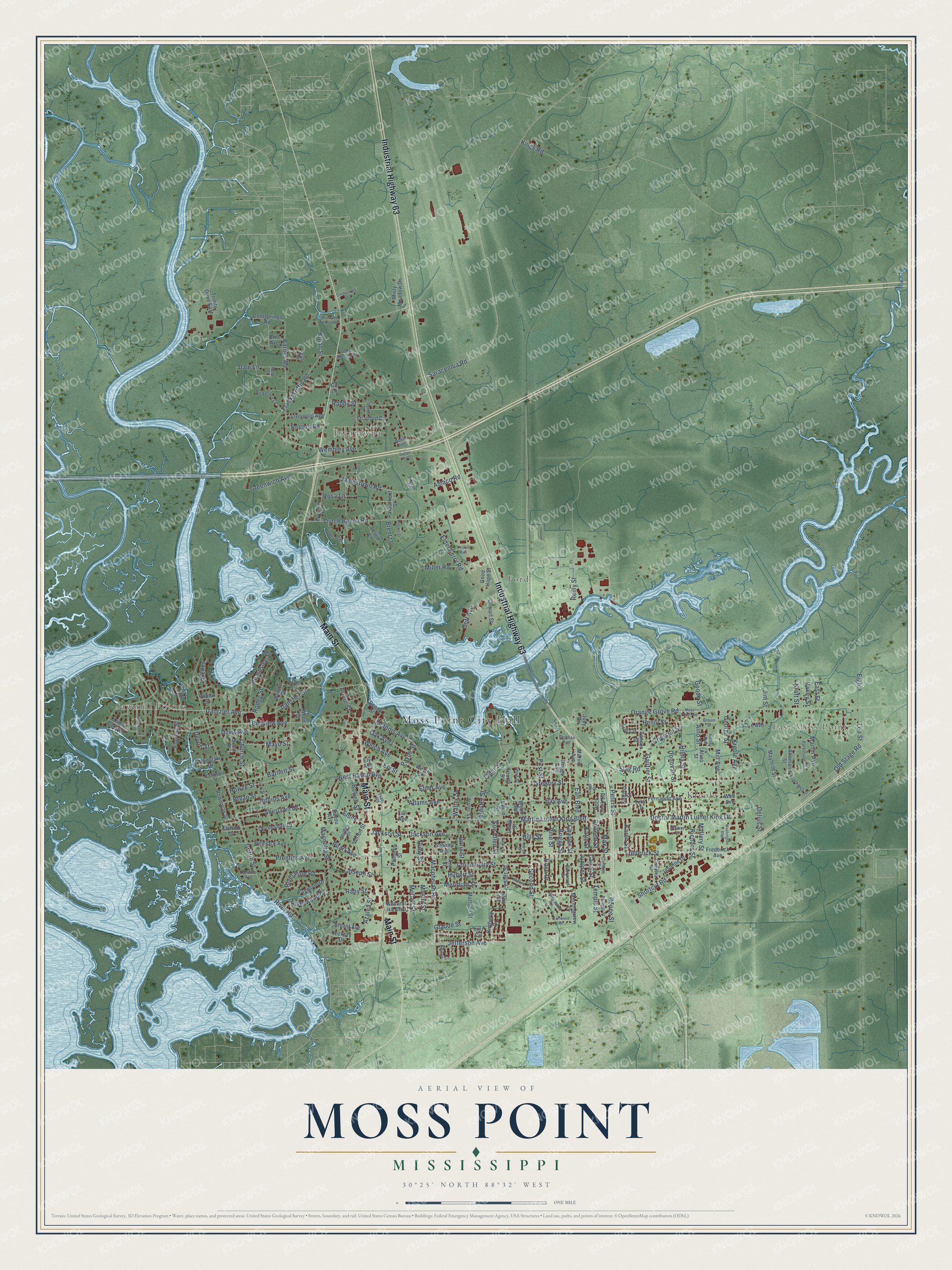
This beautifully detailed map of Moss Point, Mississippi was created in 2026 using aerial imagery combined with modern topographical, census, street and landmark data. It’s a one-of-a-kind view of Moss Point that combines accurate data with a vintage aesthetic. The map shows every building in its true location, many of the roads carry their names, and the shaded topographic relief shows the shape of the land.
Explore an aerial view of Moss Point, Mississippi
On the map you’ll find Moss Point City Hall, Sawmill Pointe, East Moss Point, Kreole, Escatawpa, and Ford, along with Industrial Highway 63, Main Street, Doctor Martin Luther King Drive, Earl Boulevard, River Road, Frederick Street, and more. If you look closely you can even find your house accurately drawn in its correct location. Zoom in on the preview to look for yours.
Did you know this piece of Moss Point, Mississippi history?
From the City of Moss Point: "For decades Moss Point was the largest pine lumber export center in the country, better known in the ports of Europe and South America than in much of America itself."
Take a closer look at the Moss Point map
Street and place names on the Moss Point, Mississippi map
These names are printed on the map of Moss Point, Mississippi.
Places: Moss Point City Hall, Sawmill Pointe, East Moss Point, Kreole, Escatawpa and Ford.
Streets and roads: Industrial Highway 63, Main Street, Doctor Martin Luther King Drive, Earl Boulevard, River Road, Frederick Street, West Bayou Avenue, Payne Street, Colleen Street, Aino Street, Jackson Street, Elder Ferry Road.
More street names, A to Z
Adams Avenue, Alino Street, Allemand Street, Amaco Road, Ann Street, Arthur Street, Azalea Street, Barnes Road, Barnett Street, Bay Avenue, Bayou Avenue, Baywood Drive, Beardslee Street, Belfair Court, Bellview Avenue, Billy Street, Blackwell Street, Boone Street, Bowen Street, Brentz Lane, Brewer Street, Briarwood Circle, Brickyard Bayou Road, Briggs Avenue, Briggs Street, Britt Avenue, Broun Street, Bryan Street, Bryant Avenue, Bush Avenue, Camellia Street, Campbell Street, Canal Street, Carroll Street, Celeste Avenue, Charles Street, Choctaw Drive, Church Street, Coldsprings Road, Community Street, Cornwood Drive, Cowart Street, Cypress Street, Dale Lane, Dan Sherman Road, Dantzler Avenue, Dantzler Street, Davis Avenue, Delius Street, Denny Street, Devonshire Drive, Devon Street, Dickerson Lane, Donovan Street, Doris Street, Duck Lake Drive, Dutch Bayou Road, Dye Avenue, East Street, Eastwood Drive, Ehelers Street, Eighth, Elder, Elder Avenue, Elder Street, Ely Avenue, Ely Street, Fairwood Drive, Fan Avenue, Fernando Avenue, First Street, Flagstone Street, Forrest Street, Fourth Street, Frank Griffin Road, Frederick Avenue, Frison Avenue, Gautier Street, General Ike Boulevard, Gene Street, George Street, Gill Lane, Glaude Street, Goff Avenue, Goode Street, Good Hope Street, Grant Street, Greenwich Avenue, Gregory Street, Grierson Street, Griffin Street, Hemlock Avenue, Henry Street, Hickory Drive, Hilma Street, Hodge Street, Holley Avenue, Hopewood Drive, Howze Street, Hubert Street, Inez Circle, Jackson Avenue, Jamestown Road, Jasmine Drive, Jefferson Avenue, Jim Street, Joseph Street, Judy Circle, Julia Circle, Juniper Street, Karen Street, Katie Street, Kent Street, Kimberly Drive, Kings Road, Kinross Street, Kraft Street, Kreole Avenue, Lakeview Drive, Leo Street, Leroy Street, Leslie Lane, Lester Avenue, Lester Street, Lilly Circle, Liverpool Avenue, Lynd Street, Macphelah Road, Magnolia Street, Mallery Street, Martin Avenue, Martin Luther King Boulevard, Marvin Avenue, Mattson Street, Max Street, Mayfeild Street, Mayo Street, McCall Street, McInnis Avenue, McNair Drive, Meridian Street, Mill Avenue, Miller Road, Misty Meadow Drive, Molden Street, Morningview Drive, Mosby Street, Moss Point Avenue, Nancy Street, Nolan Street, North Drive, Oak Avenue, Old Stage Road, Orange Grove Road, Palmetto Street, Parkinson Street, Parliament Street, Pearl Avenue, Peters Street, Phillips Street, Pilgrim Street, Pine Street, Plymouth Street, Poplar Street, Prentiss Avenue, Rabby Street, Raby Street, Reilly Street, Richard Street, River Pine Road, Riverwood Drive, Robinway Street, Rock Creek Road, Rogers Road, Rollins Avenue, Rosa Lane, Rose Drive, Ruby Street, Saphire Avenue, Saracennia Road, Scott Street, Second Street, Sherlawn Drive, Shortcut Road, Slag Road, Stauter Street, Stratford Circle, Sue Ellen Street, Sutton Avenue, Tanner Street, Tela Drive, Temple Street, Third Street, Thomas Avenue, Torres Street, Tram Road, Trehern Street, Trinity Drive East, Union Street, Valley Street, Verlon Street, Walter Street, Washington Boulevard, Water Street, Webb Avenue, Weems Street, Welch Avenue, Well Avenue, Welsh Street, Wembley Avenue, Winona Drive, Wood Street.
See the Moss Point, Mississippi map on a wall
The Moss Point map as an 18 x 24 inch print in a black frame.

This beautifully detailed map of Moss Point makes an attractive addition to your office, library, or den, and it can even be used to teach children the geography and history of the area. It also makes a great gift for someone who left Moss Point and still calls it home. When you’re done exploring, click here to get your copy of the Moss Point map.