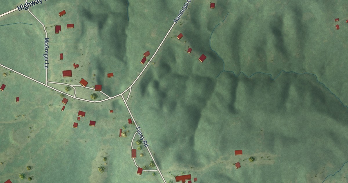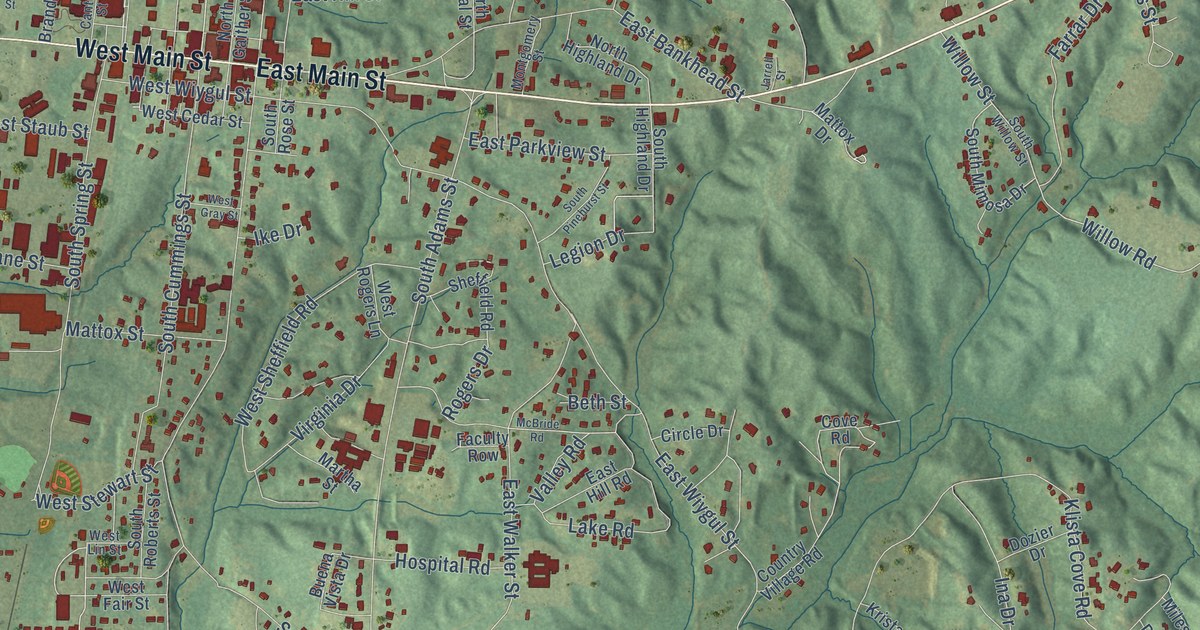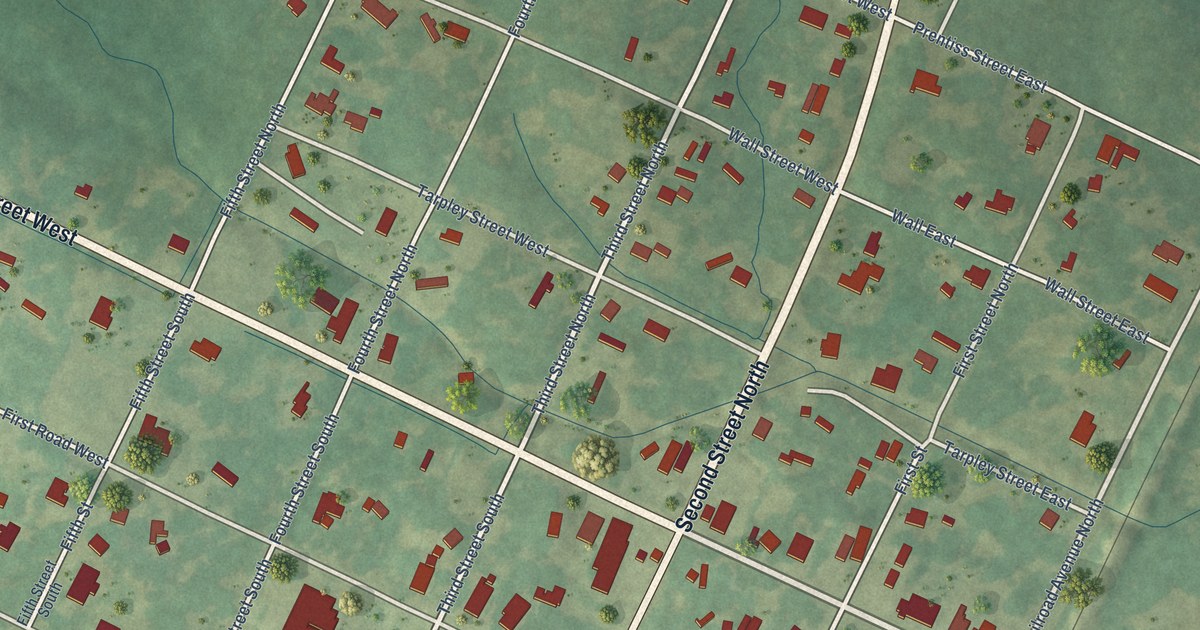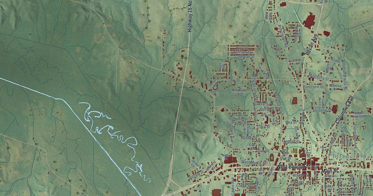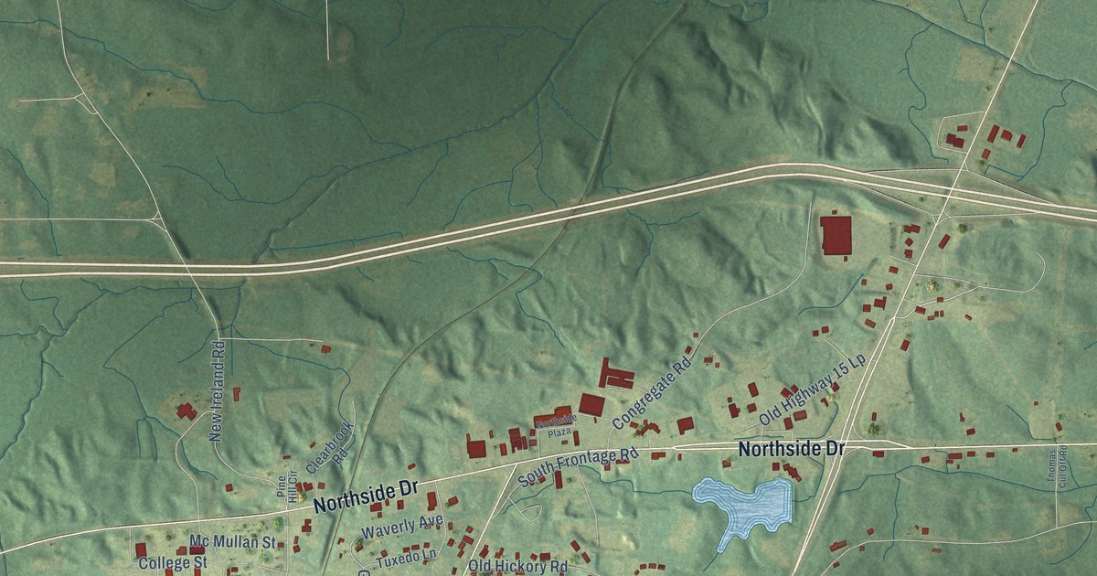
This beautifully detailed map of Newton, Mississippi was created in 2026 using aerial imagery combined with modern topographical, census, street and landmark data. It’s a one-of-a-kind view of Newton that combines accurate data with a vintage aesthetic. The map shows every building in its true location, many of the roads carry their names, and the shaded topographic relief shows the shape of the land.
Explore an aerial view of Newton, Mississippi
On the map you’ll find Newton City Hall, along with Northside Drive, Decatur Street, West Church Street, East Church Street, North Main Street, Miley Street, Belmont Avenue, Davidson Avenue, Griffin Road, School Street, East First Street, and more. If you look closely you can even find your house accurately drawn in its correct location. Zoom in on the preview to look for yours.
Did you know this piece of Newton, Mississippi history?
From Mississippiencyclopedia.org: "Civil rights leaders Charles and Medgar Evers were born in Decatur in the 1920s and attended Newton Vocational School."
Take a closer look at the Newton map
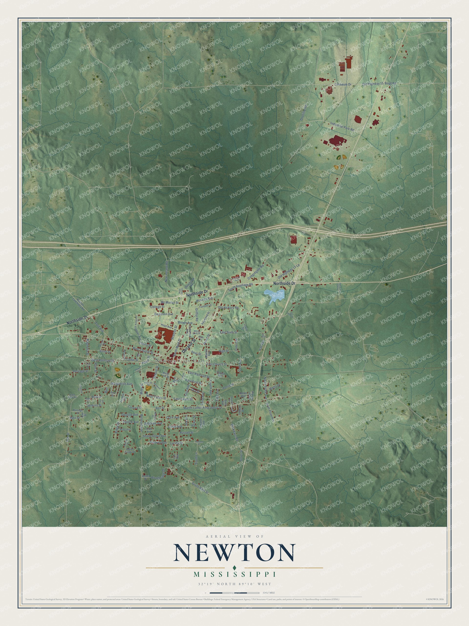
Street and place names on the Newton, Mississippi map
These names are printed on the map of Newton, Mississippi.
Places: Newton City Hall.
Streets and roads: Northside Drive, Decatur Street, West Church Street, East Church Street, North Main Street, Miley Street, Belmont Avenue, Davidson Avenue, Griffin Road, School Street, East First Street, Ford Avenue.
More street names, A to Z
Adams Street, Allen Hillie Road, Banks Street, Bay Street, Bell Street, Bingham Avenue, Bolton Avenue, Boyd Road, Brown Avenue, Burrage Street, Burt, Byrd Street, Candace Street, Carr Avenue, Cedar Street, Cherry Street, Clark Avenue, Clearbrook Road, Cole Avenue, Coliseum Drive, College Street, Congregate Road, Cork Avenue, Dear Street, Deerfield Drive, Donna Drive, Doolittle Road, East Railroad Street, East Sixth Street, East Tatum Street, Eleanor Avenue, Elm Street, Fifth Avenue, First Avenue, Forest Avenue, Fourth Avenue, Frances Avenue, Georgie Avenue, Glover Street, Hall Avenue, Hall Street, Hamilton Drive, Hardy Drive, Harris Street, Heritage Street, Herman Street, High Street, Holt Street, Hoye Avenue, Indian Creek Drive, Industrial Park Road, Jenkins Street, Jones Lane, Kentwood Drive, Lea Avenue, Lewis Street, Lillian Avenue, Lucille Street, Magnolia Street, Marguerite Avenue, Martin Luther King Junior Drive, Mc Mullan Street, Mimosa Street, New Ireland Road, New Ireland Street, Newton Avenue, Newton Conchatta Road, North Pilate Avenue, Northside Plaza, Oak Street, Old Hickory Road, Old Highway 15, Old Highway 15 Lp, Ora Street, Oree Avenue, Parker Street, Patrick Avenue, Paul Avenue, Pecan Street, Pinecrest Street, Pine Hill Circle, Pine Street, Pinewood Drive, Poplar Drive, Rae Street, Raymond Street, Ridge Drive, Russell Street, Ruth Street, Scanlan Street, Seventh Avenue, Shady Grove Avenue, Sixth Avenue, Smith Street, Son Watts Drive, South Frontage Road, South Hall Avenue, South Lane, South Main Street, South Pilate Avenue, Stennis Street, Third Avenue, Thomas Cut Off Road, Tillman Street, Tuxedo Lane, Victoria Circle, Violet Street, Walnut Street, Watts Drive, Waverly Avenue, Weir Street, West First Street, West Railroad Street, West Sixth Street, West Tatum Street, Whitfield Avenue, Wickware Road, Woodbridge Drive, Wood Street.
See the Newton, Mississippi map on a wall
The Newton map as an 18 x 24 inch print in a black frame.

This beautifully detailed map of Newton makes an attractive addition to your office, library, or den, and it can even be used to teach children the geography and history of the area. It also makes a great gift for anyone with Newton roots. When you’re done exploring, click here to get your copy of the Newton map.