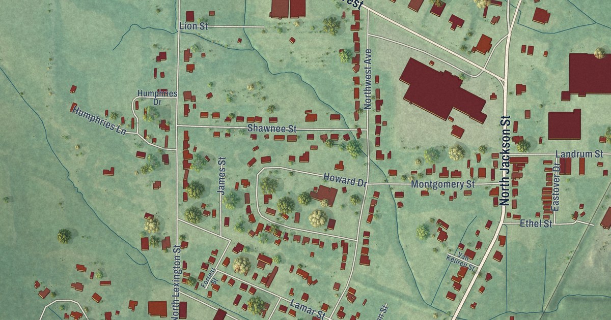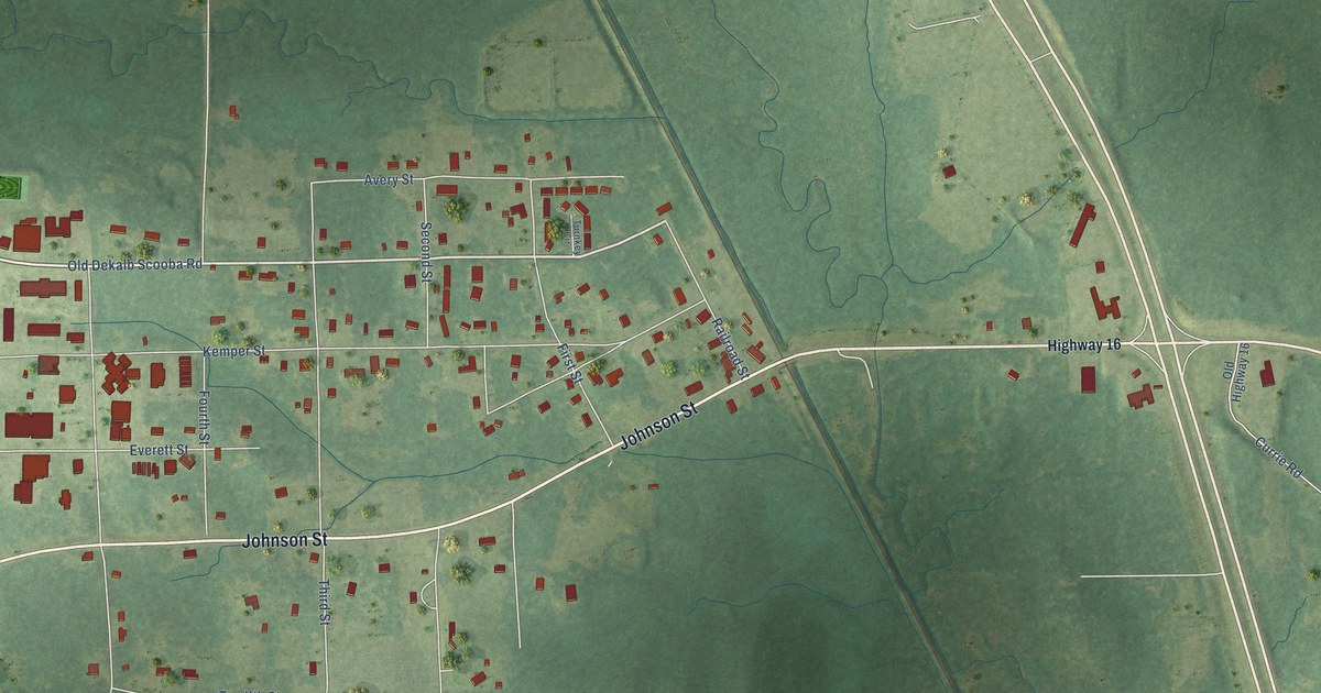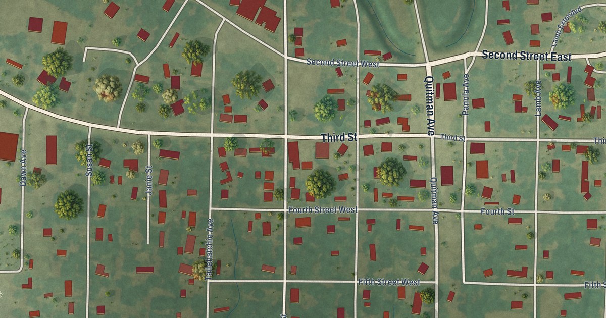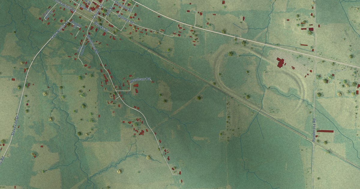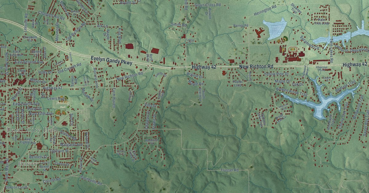
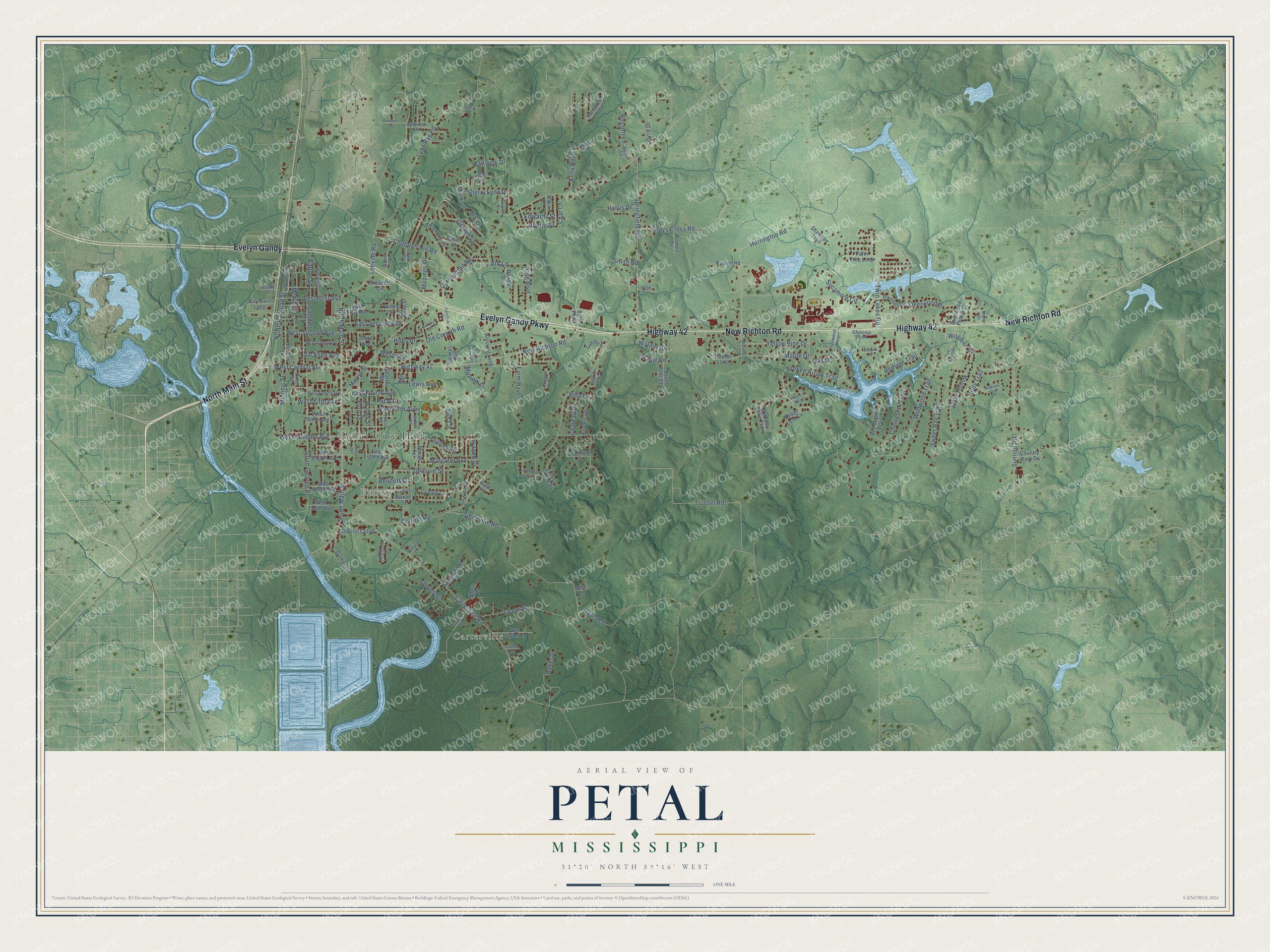
This beautifully detailed map of Petal, Mississippi was created in 2026 using aerial imagery combined with modern topographical, census, street and landmark data. It's a modern aerial view of Petal in Forrest County, Mississippi, that combines modern data with a vintage aesthetic. The roads feature printed names, and if you look closely you can find your exact house accurately shown in its correct location.
Explore an aerial view of Petal, Mississippi
On this map you'll find Petal City Hall, Carterville, Harvey, Friendly Park, North Main Street, Evelyn Gandy Parkway, Highway 42, New Richton Road, Evelyn Gandy, South Main Street, West Central Avenue, Sunrise Road, and more. Each red shape is a building, so zoom in on the preview and look for yours.
Petal has a story worth telling. The Mississippi Cyclopedia puts it this way: "Petal, a postoffice of Perry county, 2 miles north of Hattiesburg, on the N. O. & N. E. R. R. It has three stores, two churches, a good school, two large saw mills, a cotton gin, and a population of 300."
Petal is a city in Forrest County. The Census Bureau counted 11,010 people here in 2020.
Take a closer look at the Petal map
Names on this map
These names are printed on this map.
Places: Petal City Hall, Carterville, Harvey and Friendly Park.
Streets and roads: North Main Street, Evelyn Gandy Parkway, Highway 42, New Richton Road, Evelyn Gandy, South Main Street, West Central Avenue, Sunrise Road, Broken Arrow Trail, Carterville Road, Old Richton Road, Corinth Road.
More street names, A to Z
Albert Street, Anne Street, Apple Cv, Ark Lane, Baker Street, Barron Street, Beagle Drive, Bennett Street, Boulder Drive, Boxtel Street, Branden Lane, Broad Leaf Cv, Bryant Street, Burkett Drive, Byrd Drive, Byrd Parkway, Cambrian Ridge, Cassil Street, Cedar Street, Centre Circle, Chanse Avenue, Chappell Hill Road, Char Lane, Charles Street, Chateau Drive, Cherry Oak Trail, Chestnut Point, City Barn Loop, Clinton Drive, Collins Road, Country Park Circle, Country Park Drive, Cox Circle, Cross Creek Drive, Cypress Lake Trail, Davis Road, Dawson Cutoff, Deerwood Drive, Deloris Lane, Dove Hollow, Durham Drive, East Eighth Avenue, East Fifth Avenue, East First Avenue, East Fourth Avenue, East Second Avenue, Edwards Street, Elizabeth Circle, Estate Drive, Fairchild Drive, Fairview Drive, Farm Haven, Farm Haven Drive, Ferncrest Loop, Ford Drive, Gadsby Road, Gandy Street, Garden Lane, Grays Cross Road, Green Street, Harris Drive, Herrington Road, Herrod Street, Hickory Drive, Hillcrest Loop, Holly Drive, Holly Trail, Hyland Drive, Jackson Avenue, James Street, John Lane, Jones Street, Kelly Rose Lane, Keystone Drive, King Boulevard, Leeville Road, Lewis Avenue, Lofton Drive, Lynn Ray Road, Magnolia Lane, Manor Drive, Maple Drive, Maple Road, Margaret Avenue, Mark Drive, Maryland Drive, McInnis Street, McKinnon Street, Meadowood Street, Miley Drive, Morris Street, Morrow Drive, Mozingo Drive, Nicklaus Trail, North George Street, North Railroad Street, Oak Drive, Oak Lawn Drive, Ogilsvie Street, Old Corinth Road, Oliver Lane, Palm Tree Loop, Panther Drive, Park Drive, Pecan Terrace, Petal Drive, Pine Street, Popcorn Point, Poplar Loop, Rainey Road, Redfern Trail, Red Maple Trail, Robinson Drive, Russett Lane, Salinas Avenue, Shawnee Trail, Sherry Lynn Drive, Sherwood Forest Drive, Skyland Terrace, Smith Road, Smithville Road, South Beech Lane, South George Street, Springfield Road, Starlane Drive, Stevens Street, Stewart Drive, Sun Circle, Sunset Drive, Sweet Bay Trail, Sycamore Circle, Tee Time Drive, Third Avenue, Trailwood West, Trussel Road, Twin Lakes Road, Van Slyke Lane, Vermont Drive, Villa Drive, Waller Street, Walnut Drive, Walton Drive, Watts Drive, Waverly Street, West Cherry Drive, West Eighth Avenue, West Fifth Avenue, West First Avenue, West Fourth Avenue, West Ninth Avenue, West Second Avenue, West Seventh Avenue, West Sixth Avenue, West Tenth Avenue, Wildwood Trail, Wilglenn Drive, Willard Lane, Williams Street, Wilson Drive, Woodland Square, Woodside Drive, Yaupon Street, Yellow Pine Drive.
Created by KNOWOL in 2026. The buildings are small red shapes, the roads carry their printed names, and shaded relief shows the shape of the land. The title panel reads "AERIAL VIEW OF PETAL MISSISSIPPI" with 31°20' NORTH 89°16' WEST.
It looks right in a kitchen, an office or a den, and it's a gift for anyone who grew up in Petal or moved away. Open the preview and find your street. See sizes and frames for the Petal map.