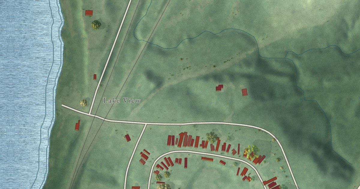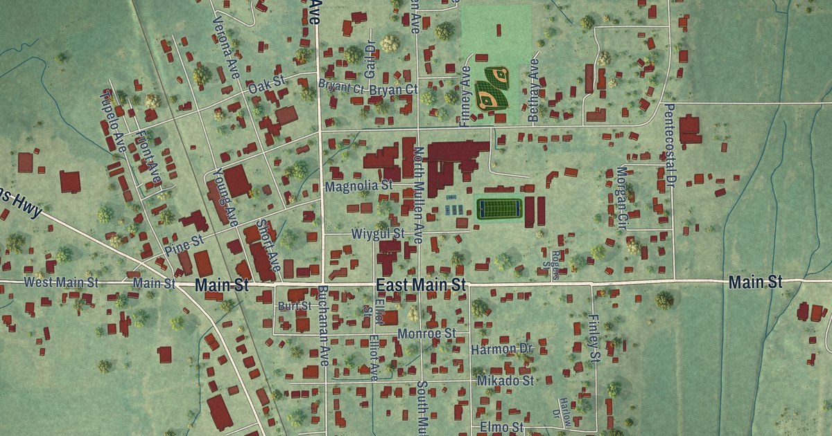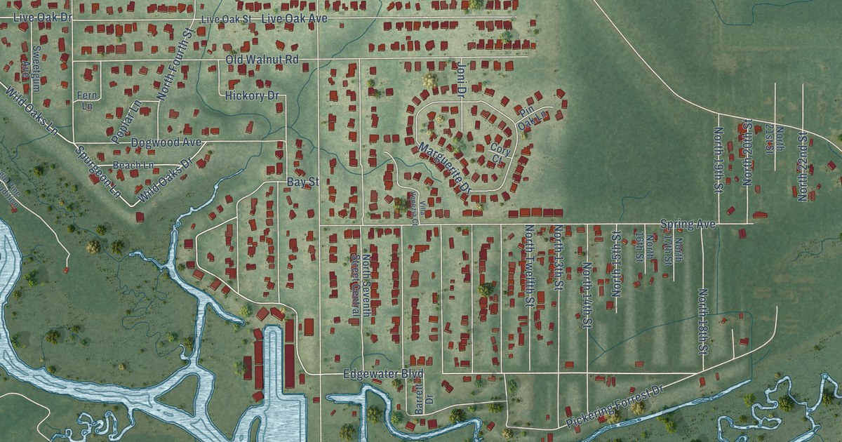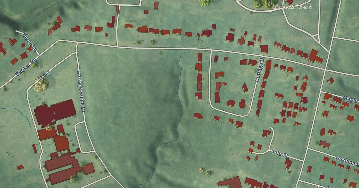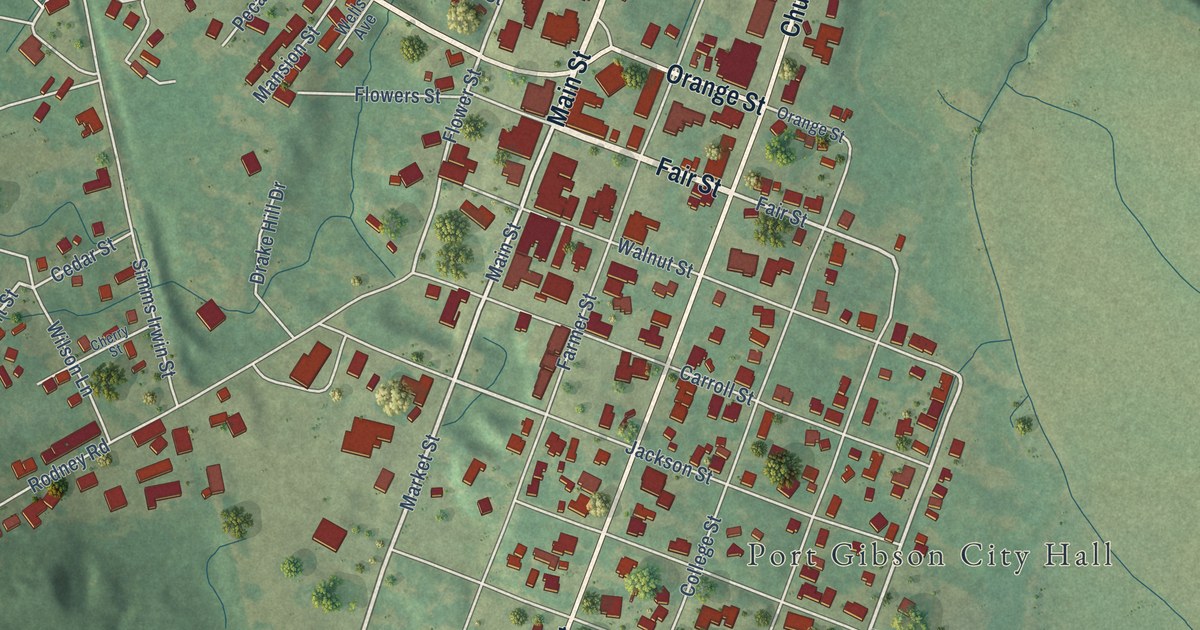
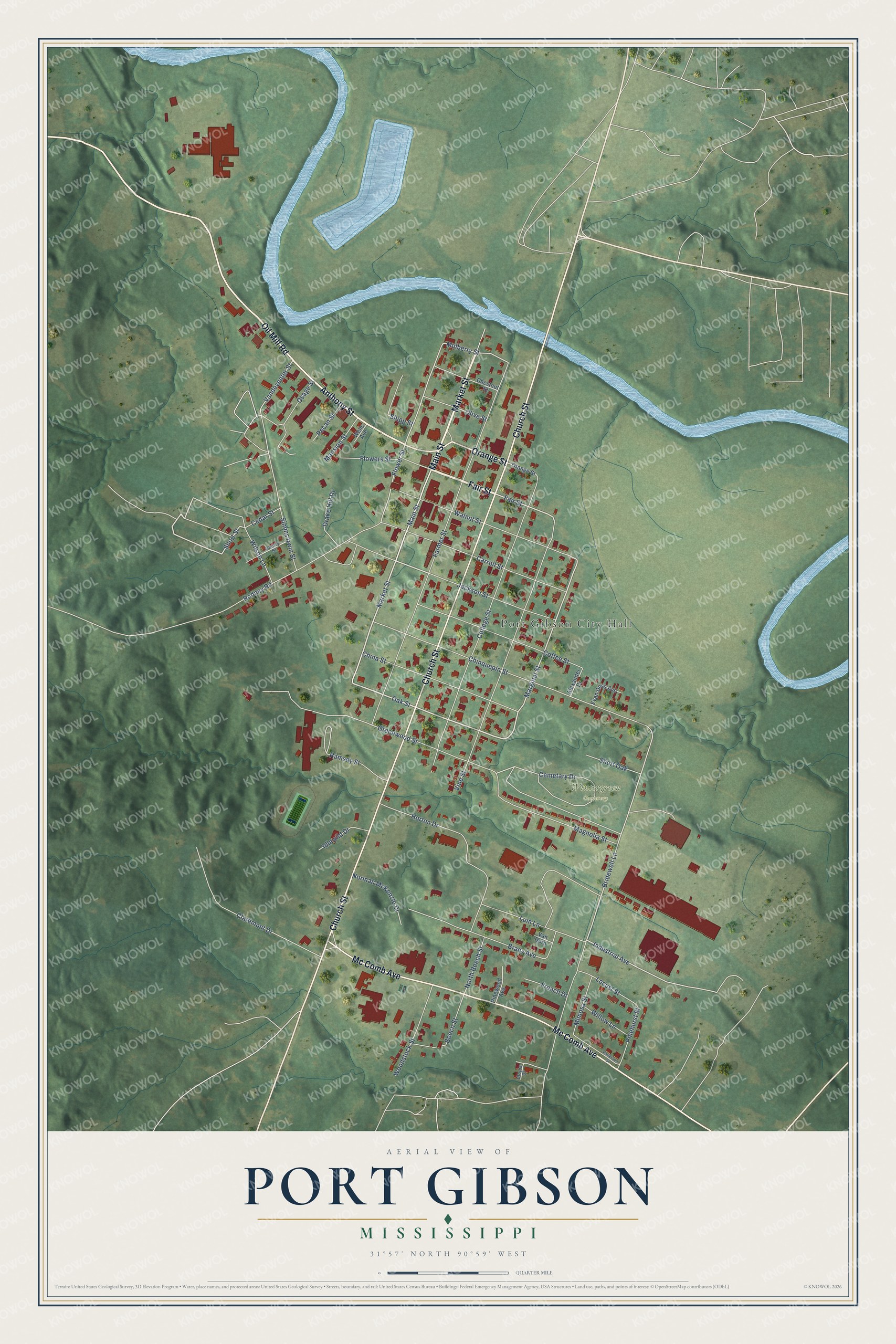
This beautifully detailed map of Port Gibson, Mississippi was created in 2026 using aerial imagery combined with modern topographical, census, street and landmark data. It’s a one-of-a-kind view of Port Gibson that combines accurate data with a vintage aesthetic. The map shows every building in its true location, many of the roads carry their names, and the shaded topographic relief shows the shape of the land.
Explore an aerial view of Port Gibson, Mississippi
On the map you’ll find Port Gibson City Hall and Wintergreen Cemetery, along with Fair Street, Market Street, Anthony Street, Oil Mill Road, Church Street, Mc Comb Avenue, Orange Street, Main Street, Oak Street, Marginal Street, and more. If you look closely you can even find your house accurately drawn in its correct location. Zoom in on the preview to look for yours.
Did you know this piece of Port Gibson, Mississippi history?
French settlers tried a post on Bayou Pierre as early as 1729, but it did not last, and the town grew from Samuel Gibson’s landing in the late 1780s. Many of its old buildings came through the Civil War. Local tradition says Grant called the town too beautiful to burn, and the words now greet drivers on the city limits sign.
Take a closer look at the Port Gibson map
Street and place names on the Port Gibson, Mississippi map
These names are printed on the map of Port Gibson, Mississippi.
Places: Port Gibson City Hall and Wintergreen Cemetery.
Streets and roads: Fair Street, Market Street, Anthony Street, Oil Mill Road, Church Street, Mc Comb Avenue, Orange Street, Main Street, Oak Street, Marginal Street, Short Street, Cemetary Drive.
More street names, A to Z
Alexander Drive, Beech Street, Brady Avenue, Bridewell Lane, Carroll Street, Cedar Street, Cherry Street, Chestnut Street, China Street, Chinquepin Street, Claremont Drive, Coffee Street, College Street, Drake Hill Drive, Evan Doss Avenue, Farmer Street, Flowers Street, Flower Street, French Drive, Greenwood Street, Horton Drive, Idlewild Drive, Industrial Avenue, Jackson Street, Locust Street, Lum Lane, Magnolia Street, Mansion Street, Mimosa Street, Mulberry Street, Norman McKenzie Drive, North Beech Street, Olive Street, Osage Street, Patterson Street, Pecan Street, Pinehurst Street, Pinewood Avenue, Ramsey Street, Rodney Road, Shipp Street, Short Oak, Simms Irwin Street, Utopia Drive, Vandeventer Street, Van Dorn, Vine Street, Walnut Street, Wells Avenue, Willow Lane, Wilson Lane, Woodstock Street.
See the Port Gibson, Mississippi map on a wall
The Port Gibson map as an 18 x 24 inch print in a black frame.

This beautifully detailed map of Port Gibson makes an attractive addition to your office, library, or den, and it can even be used to teach children the geography and history of the area. It also makes a great gift for someone who left Port Gibson and still calls it home. When you’re done exploring, click here to get your copy of the Port Gibson map.