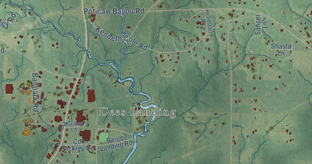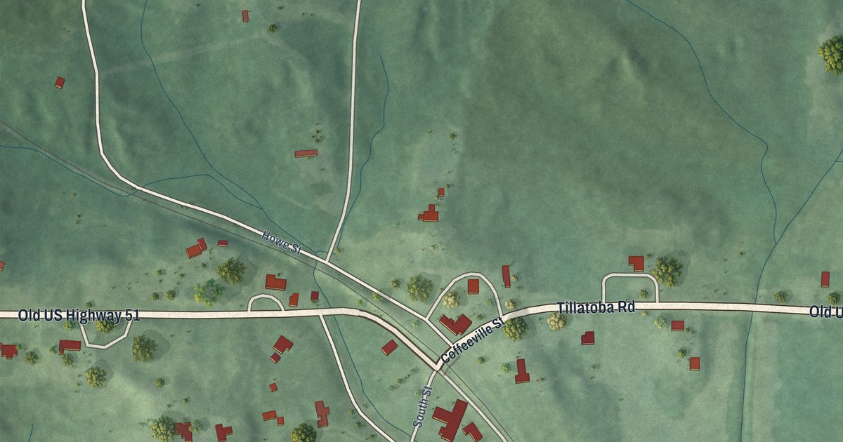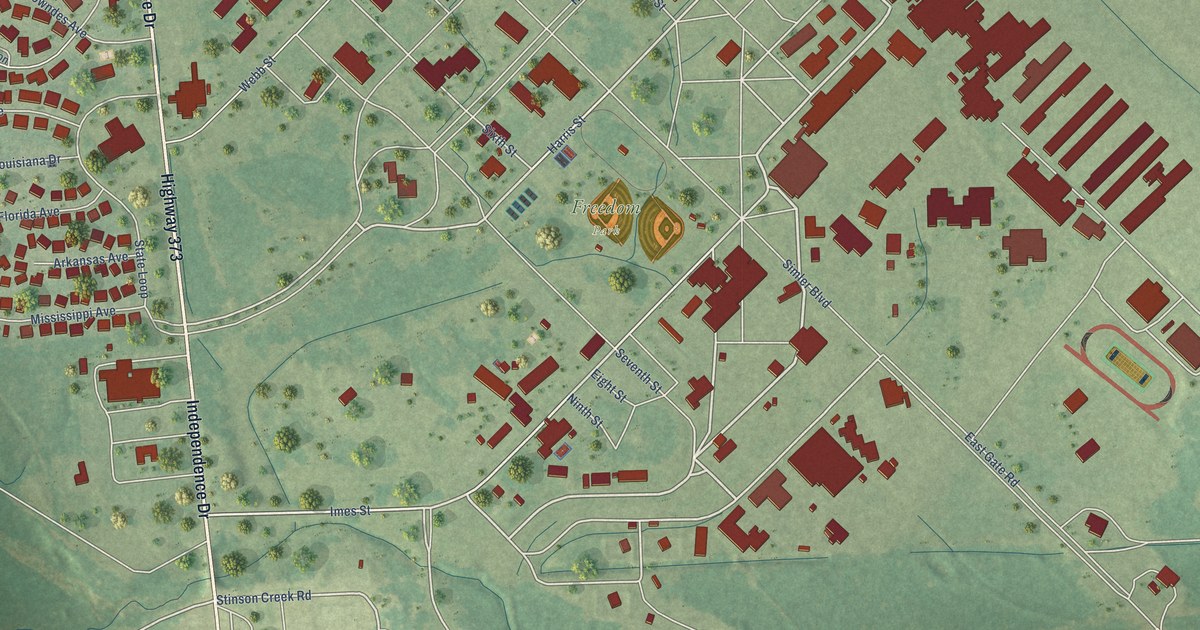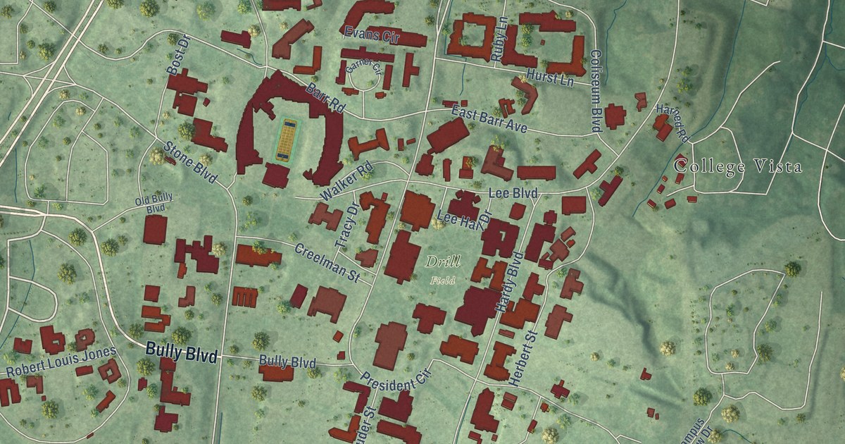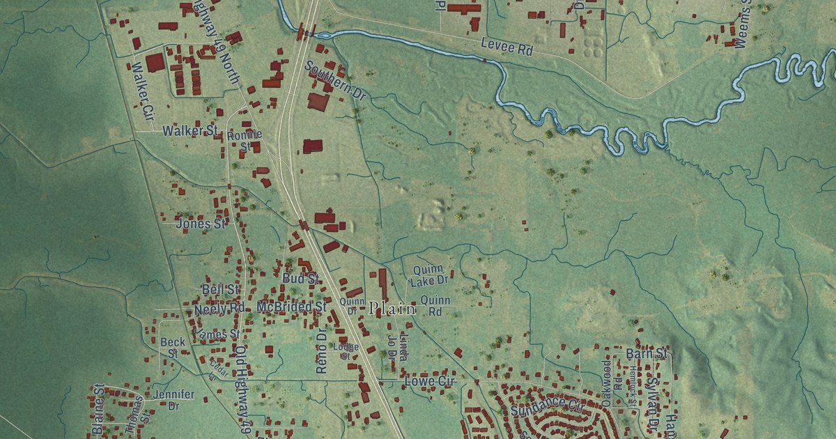
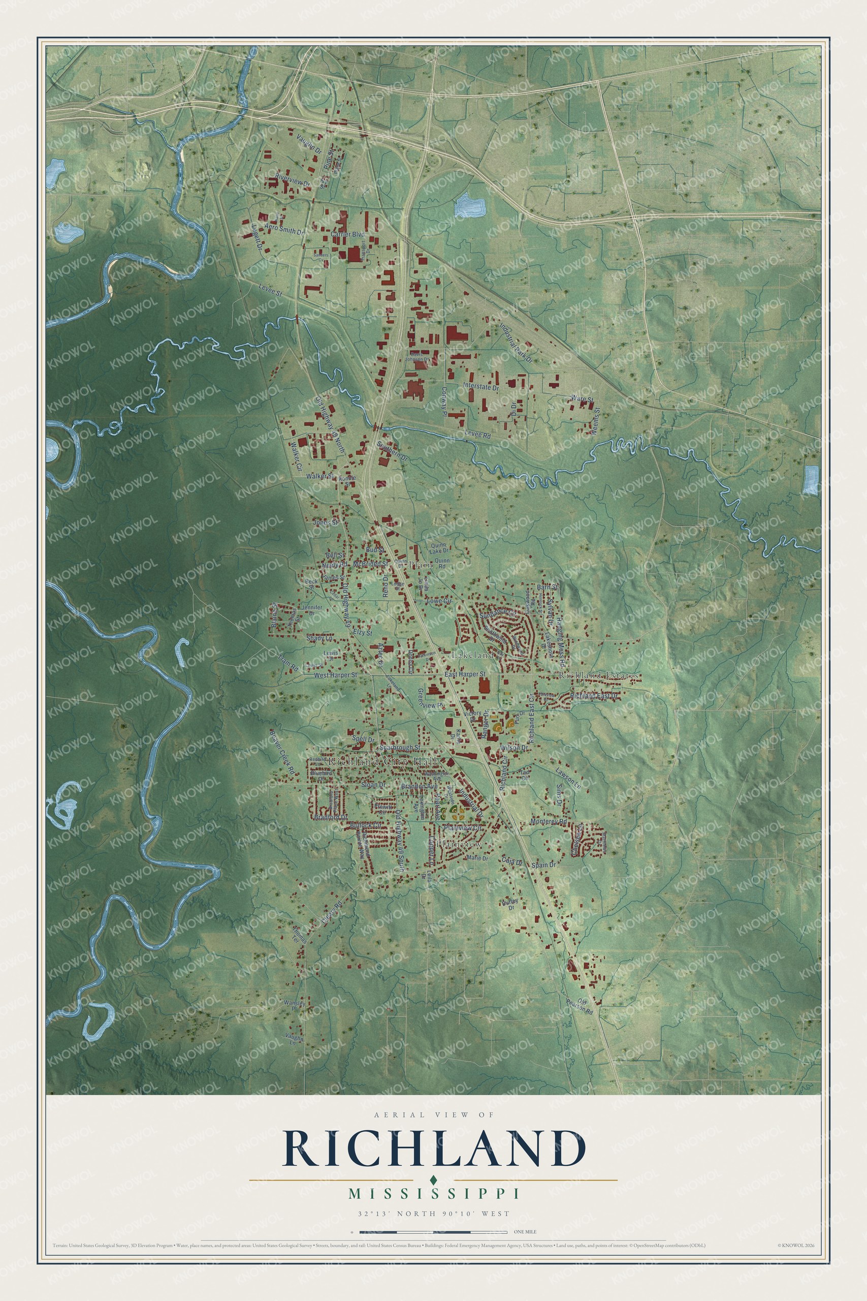
This beautifully detailed map of Richland, Mississippi was created in 2026 using aerial imagery combined with modern topographical, census, street and landmark data. It’s a one-of-a-kind view of Richland that combines accurate data with a vintage aesthetic. The map shows every building in its true location, many of the roads carry their names, and the shaded topographic relief shows the shape of the land.
Explore an aerial view of Richland, Mississippi
On the map you’ll find Richland City Hall, Lakeland, Plain, Plainview, Richland Estates, and Old Highway 49 South, along with Old Highway 49, East Harper Street, West Harper Street, Scarbrough Street, Wilson Drive, Richland East Circle, and more. If you look closely you can even find your house accurately drawn in its correct location. Zoom in on the preview to look for yours.
Did you know this about Richland, Mississippi?
From the U.S. Department of Agriculture: "This large industrial park in the city of Richland is in an area of Tippo-Urban land complex, 0 to 2 percent slopes. This area is protected from the floodwaters of the Pearl River by a levee."
Take a closer look at the Richland map
Street and place names on the Richland, Mississippi map
These names are printed on the map of Richland, Mississippi.
Places: Richland City Hall, Lakeland, Plain, Plainview and Richland Estates.
Streets and roads: Old Highway 49, East Harper Street, West Harper Street, Scarbrough Street, Wilson Drive, Old Highway 49 South, Richland East Circle, Old Highway 49 North, McBrided Street, Barn Street, Cleary Road, Levee Road.
More street names, A to Z
Aero Smith Drive, Aztec Drive, Bay Cv, Beaver Creek Road, Beck Street, Bell Street, Blaine Street, Bluebird Drive, Bradford Drive, Bradford Place West, Brandon Avenue, Bud Street, Bullock Circle, Caja Drive, Carrier Boulevard, Cedar Lane, Chelsea Lane, Conway Place, Copper Lane, Davis Johnson Drive, Di Drive, Donna Circle, Duffey Drive, Elzy Street, Furr Drive, Greenview Place, Hanging Moss Road, Hemlock Street, Industrial Drive, Industrial Park Drive, Interstate Drive, Ivy Street, James Street, Jennifer Drive, Jones Street, Karlie Drive, Katie Street, Lakeland Lane, Lakeshore Drive, Lawson Lane, Legett Drive, Leila Drive, Levee Street, Lewis Drive, Lewis Street, Lexington Avenue, Linda Jo Drive, Lodge Street, Lowe Circle, Marie Drive, Matthews Drive, Monterey Road, Neely Road, Oakwood Road, Old Pearson Road, Parkinson Drive, Parkview Drive, Pearl Avenue, Pine Street, Plainview Circle, Plane Street, Prewitt Circle, Quinn Drive, Quinn Lake Drive, Quinn Road, Ranger Drive, Redbird Lane, Reno Drive, Richland Circle, Richland East Drive, Richmond Pointe Way, Riverview Drive, Ronnie Street, Sanders Cv, Shady Lane, Sims Drive, Sloan Drive, Southern Drive, Southwind Drive, Spain Drive, Spell Drive, Sundance Circle, Sylvan Drive, Ted Circle, Thomas Street, Thomas Terrace, Tram Road, Transport Drive, Vaughn Drive, Vaughn Lane, Victory Drive, Walker Circle, Walker Street, Wansley Place, Ware Street, Washington Avenue, Weems Street, Westside Drive, Windward Drive.
See the Richland, Mississippi map on a wall
The Richland map as an 18 x 24 inch print in a black frame.

This beautifully detailed map of Richland makes an attractive addition to your office, library, or den, and it can even be used to teach children the geography and history of the area. It also makes a great gift for anyone with Richland roots. When you’re done exploring, click here to get your copy of the Richland map.