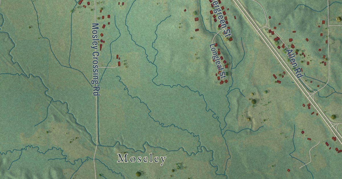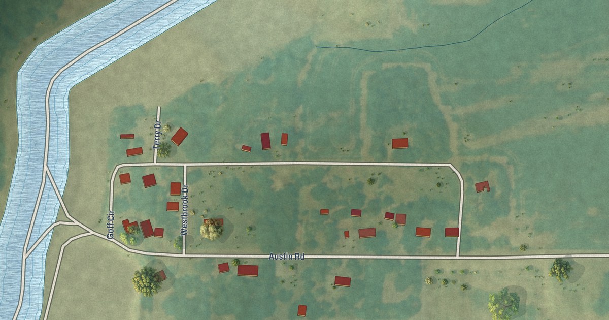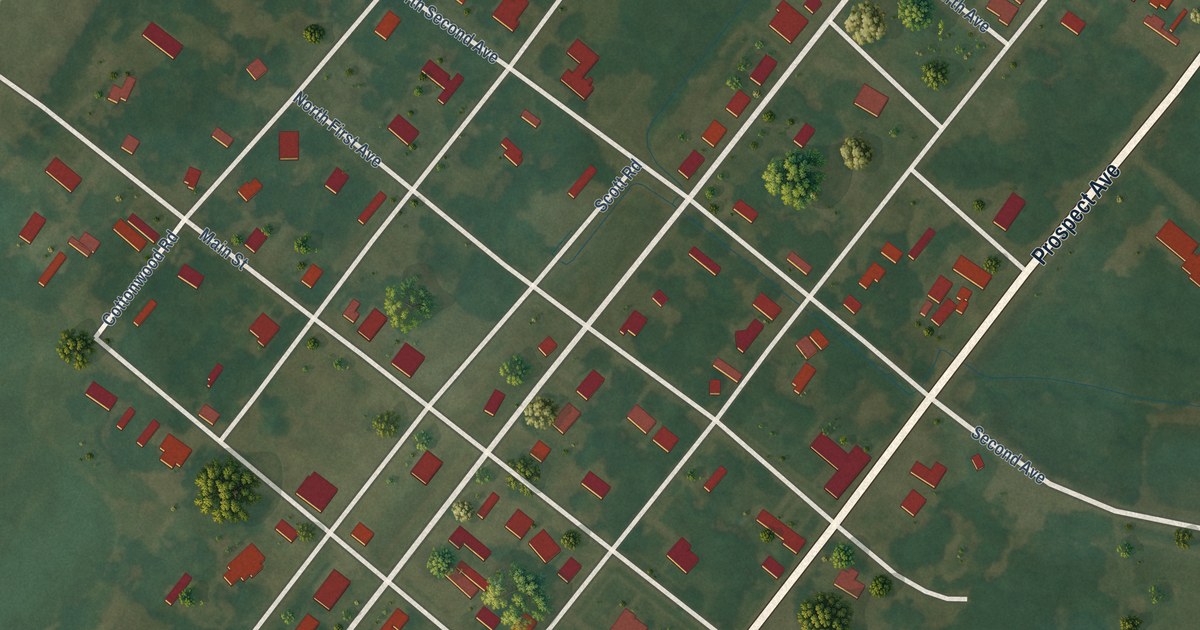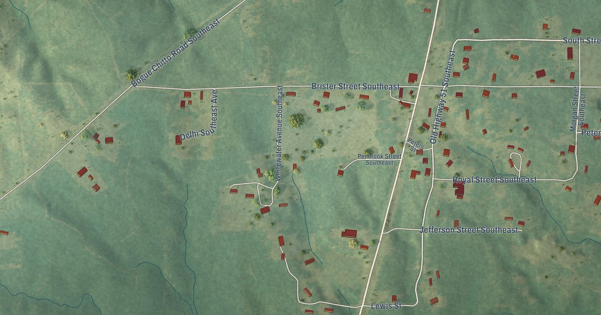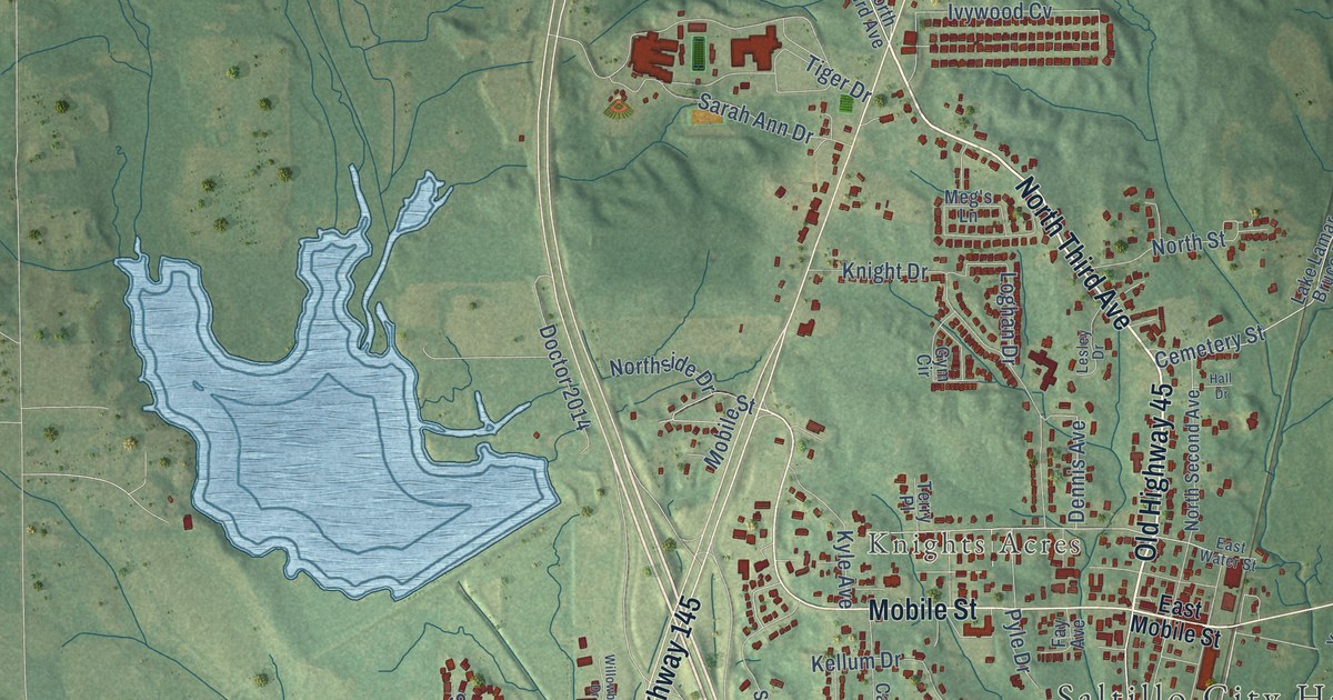
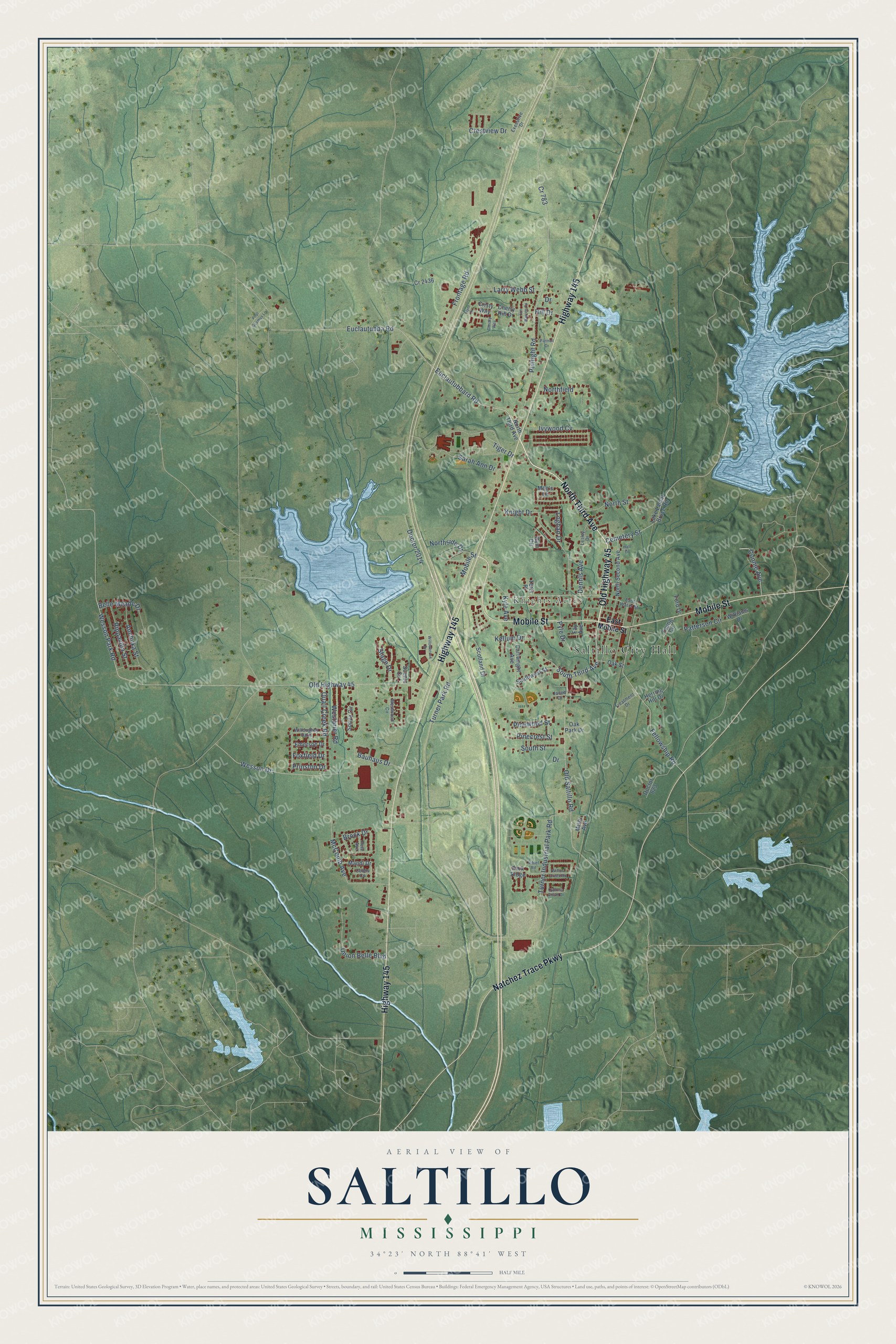
This beautifully detailed map of Saltillo, Mississippi was created in 2026 using aerial imagery combined with modern topographical, census, street and landmark data. It’s a one-of-a-kind view of Saltillo that combines accurate data with a vintage aesthetic. The map shows every building in its true location, many of the roads carry their names, and the shaded topographic relief shows the shape of the land.
Explore an aerial view of Saltillo, Mississippi
On the map you’ll find Saltillo City Hall and Knights Acres, along with North Third Avenue, Old Highway 45, Mobile Street, Highway 145, Natchez Trace Parkway, South Third Avenue, Euclautubbard Road, Euclautubba Road, Fellowship Road, Pulltight Road, and more. If you look closely you can even find your house accurately drawn in its correct location. Zoom in on the preview to look for yours.
Did you know this piece of Saltillo, Mississippi history?
From Dunbar Rowland’s 1907 encyclopedia of Mississippi history: "The five commissioners appointed by the legislature in 1866 to organize the new county of Lee, held their first meeting in Saltillo, November 13, 1866."
Take a closer look at the Saltillo map
Street and place names on the Saltillo, Mississippi map
These names are printed on the map of Saltillo, Mississippi.
Places: Saltillo City Hall and Knights Acres.
Streets and roads: North Third Avenue, Old Highway 45, Mobile Street, Highway 145, Natchez Trace Parkway, South Third Avenue, Euclautubbard Road, Euclautubba Road, Fellowship Road, Pulltight Road, Cemetery Street, Prinston Drive.
More street names, A to Z
Anchuka Street, Bauhaus Drive, Belle Meade Drive, Brock Drive, Cartwright Avenue, Cherry Hill Drive, Christy Way, Cobbs Cv, Connie Avenue, Cr 783, Cr 2436, Crestview Drive, Cristy Way, Cypress Grove Drive, Dennis Avenue, Doctor 823, Doctor 2014, Drive, East Mobile Street, East Water Street, Emerson Drive, Executive Drive, Fay Avenue, Flynt Drive, Ford Drive, Foxfield Drive, Frontage Road, Gym Circle, Hall Drive, Herring Hill Drive, Hill Drive, Ivywood Cv, Jacob Drive, Jim Warren Cv, Kellum Drive, Knight Drive, Kyle Avenue, Lake Lamar Bruce Road, Larry Webb Street, Lesley Drive, Loghan Drive, Mandi Drive, McComb Avenue, Meg's Lane, Misty Avenue, Niblet Road, Northfield, North Second Avenue, Northside Drive, North Street, Oak Park Drive, Oak Street, Old Saltillo Road, Pannell Drive, Park Ridge, Patterson Circle, Pete Avenue, Pinecrest Street, Pinewood Street, Pnul Gusmus Lane, Pyle Drive, Quail Creek Road, Rippavilla Street, Sarah Ann Drive, Scenic Cv, Scotland Drive, Sonya Circle, South Street, Southwest Street, Stage Drive, Terry Place, Tiger Drive, Treatment Drive, Turner Industrial Park Road, Turner Park Road, Union Belle Boulevard, Wesson Drive, Wesson Park Road, Westbrier Road, Westwood Circle, Williams Drive, Willoughby Oaks, Willowbrook Drive, Willow Creek Road, Young Circle.
See the Saltillo, Mississippi map on a wall
The Saltillo map as an 18 x 24 inch print in a black frame.

This beautifully detailed map of Saltillo makes an attractive addition to your office, library, or den, and it can even be used to teach children the geography and history of the area. It also makes a great gift for anyone with Saltillo roots. When you’re done exploring, click here to get your copy of the Saltillo map.