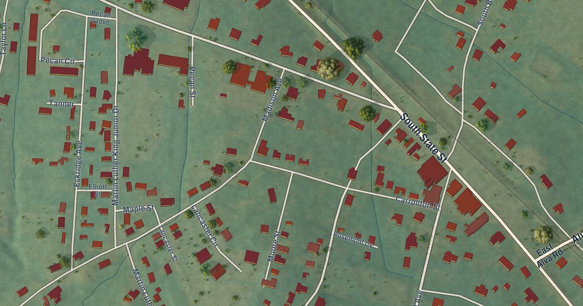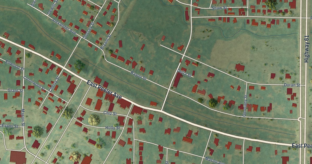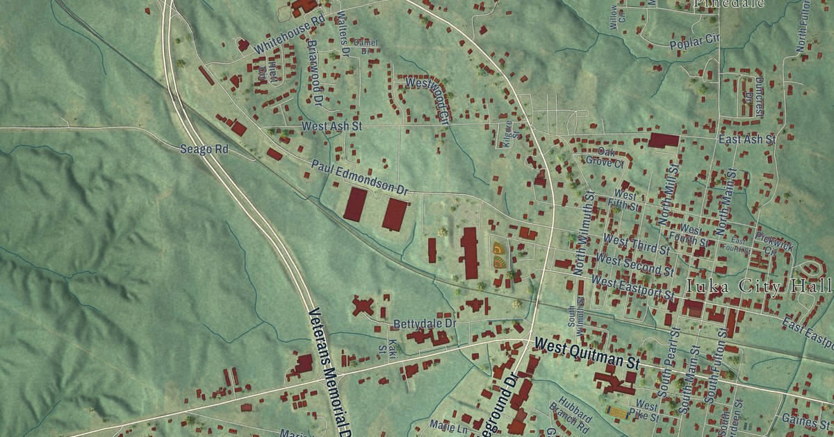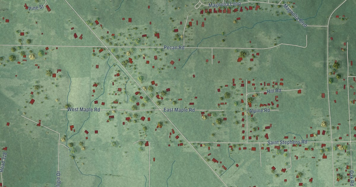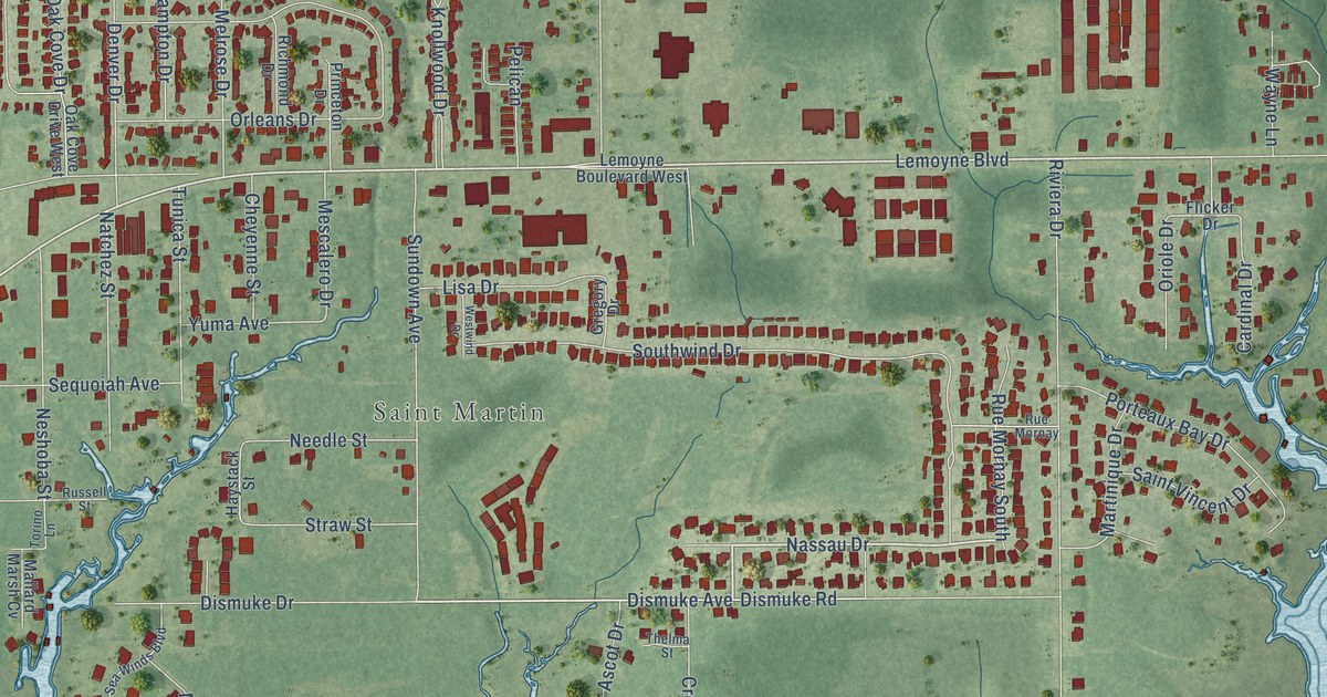
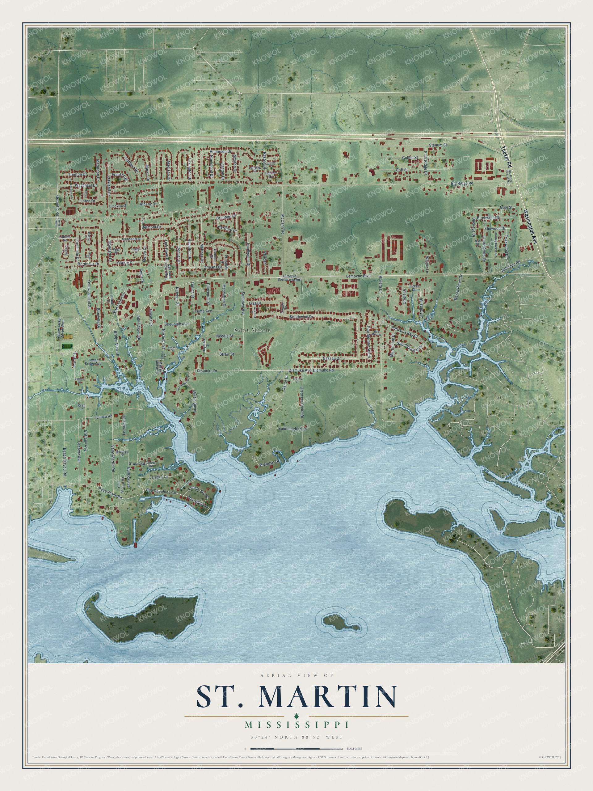
This beautifully detailed map of St. Martin, Mississippi was created in 2026 using aerial imagery combined with modern topographical, census, street and landmark data. It’s a one-of-a-kind view of St. Martin that combines accurate data with a vintage aesthetic. The map shows every building in its true location, many of the roads carry their names, and the shaded topographic relief shows the shape of the land.
Explore an aerial view of St. Martin, Mississippi
On the map you’ll find Washington Avenue, Tucker Road, Yellow Jacket Street, Nassau Drive, Dismuke Avenue, Lemoyne Boulevard, Rue Dauphine Circle, Dismuke Road, Race Track Road, Linten Drive, Elmwood Drive, and more. If you look closely you can even find your house accurately drawn in its correct location. Zoom in on the preview to look for yours.
Did you know this piece of St. Martin, Mississippi history?
From the Ocean Springs Archives: "Between 1902 and 1905, several related families of Italian origin settled in the St. Martin community north of Biloxi, Mississippi."
Take a closer look at the St. Martin map
Street and place names on the St. Martin, Mississippi map
These names are printed on the map of St. Martin, Mississippi.
Places: Saint Martin.
Streets and roads: Washington Avenue, Tucker Road, Yellow Jacket Street, Nassau Drive, Dismuke Avenue, Lemoyne Boulevard, Rue Dauphine Circle, Dismuke Road, Race Track Road, Linten Drive, Elmwood Drive, Cherry Drive.
More street names, A to Z
Albany Drive, Anderson Drive, Apple Drive, April Bayou Drive, Ascot Drive, Ash Street, Avacado Drive, Bayou Pines Drive, Beach Bayou Road, Belmont Drive, Benton Drive, Bienville Drive, Big Ridge Road, Big Ridge Road West, Birchwood Drive, Bordeaux Drive, Borries Street, Bosarge Street, Brandon Drive, Branigar Drive, Bridge View Drive, Brittany Avenue, Brooklyn Drive, Buckeye Drive, Bullock Avenue, Canton Drive, Cardinal Drive, Carlton Drive, Cheyenne Street, Colonial Court, Crescent Shore Drive, Cullen Street, Denver Drive, Dismuke Drive, Flicker Drive, Franklin Drive, Goff Street, Goren Flo Avenue, Gorenflo Road, Gregory Drive, Groue Road, Grove Road, Gulf Stream Road, Gum Street, Hammond Drive, Hampton Drive, Hartford Drive, Haystack Street, Honeysuckle Drive, Hummingbird Lane, Joan D' Arc Street, Kentwood Drive, Knollwood Drive, Lamont Road, Langley Drive, Lansing Drive, Larochelle Drive, Laura Acres Drive, Lawton Drive, Lemoyne Boulevard West, Lepoma Avenue, Letort Lane, Lexington Drive, Lisa Drive, Lorraine Circle, Macon Drive, Madison Drive, Malibar Lane, Mallard Marsh Cv, Mandarin Drive, Marathon Drive, Martin Bayou, Martinique Drive, McCann Road, Melon Drive, Melrose Drive, Mescalero Drive, Natchez Street, Needle Street, Neshoba Street, Newton Drive, Oak Cove Drive, Oak Cove Drive West, Oakland Drive, Omaha Street, Orange Drive, Oriole Drive, Orleans Drive, Park Ridge Drive, Pear Drive, Pelican, Porteaux Bay Drive, Portland Drive, Princeton Drive, Quave Road, Raggio Lane, Reston Drive, Richmond Drive, Riviera Drive, Rue Dauphin, Rue Mornay, Rue Mornay South, Russell Street, Ryan Lane, Saint Martin Road, Saint Vincent Drive, Sea Winds Boulevard, Sequoiah Avenue, Shove Drive, Solomon Road, Southwind Drive, Stenum Street, Straw Street, Sundown Avenue, Teakwood Drive, Thelma Street, Torino Lane, Tower Bridge Avenue, Trenton Drive, Tunica Street, Turk Avenue, Van Eaton Circle, Waycross Drive, Wayne Lane, Westwind Drive, Yellow Jacket Street West, Yuma Avenue.
See the St. Martin, Mississippi map on a wall
The St. Martin map as an 18 x 24 inch print in a black frame.

This beautifully detailed map of St. Martin makes an attractive addition to your office, library, or den, and it can even be used to teach children the geography and history of the area. It also makes a great gift for someone who left St. Martin and still calls it home. When you’re done exploring, click here to get your copy of the St. Martin map.