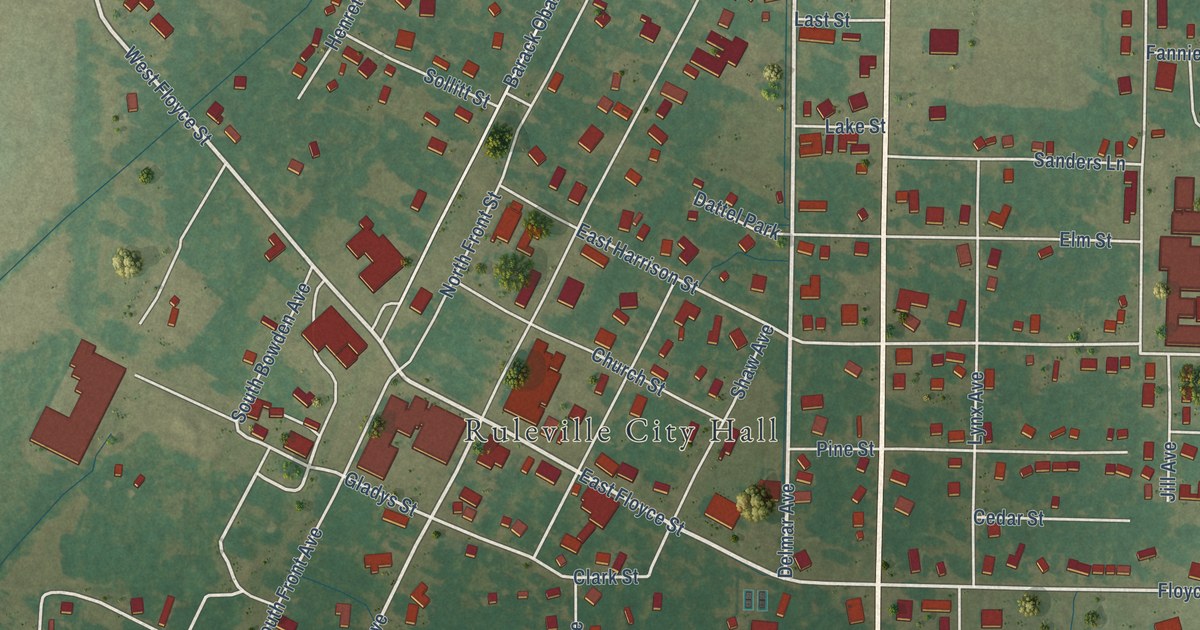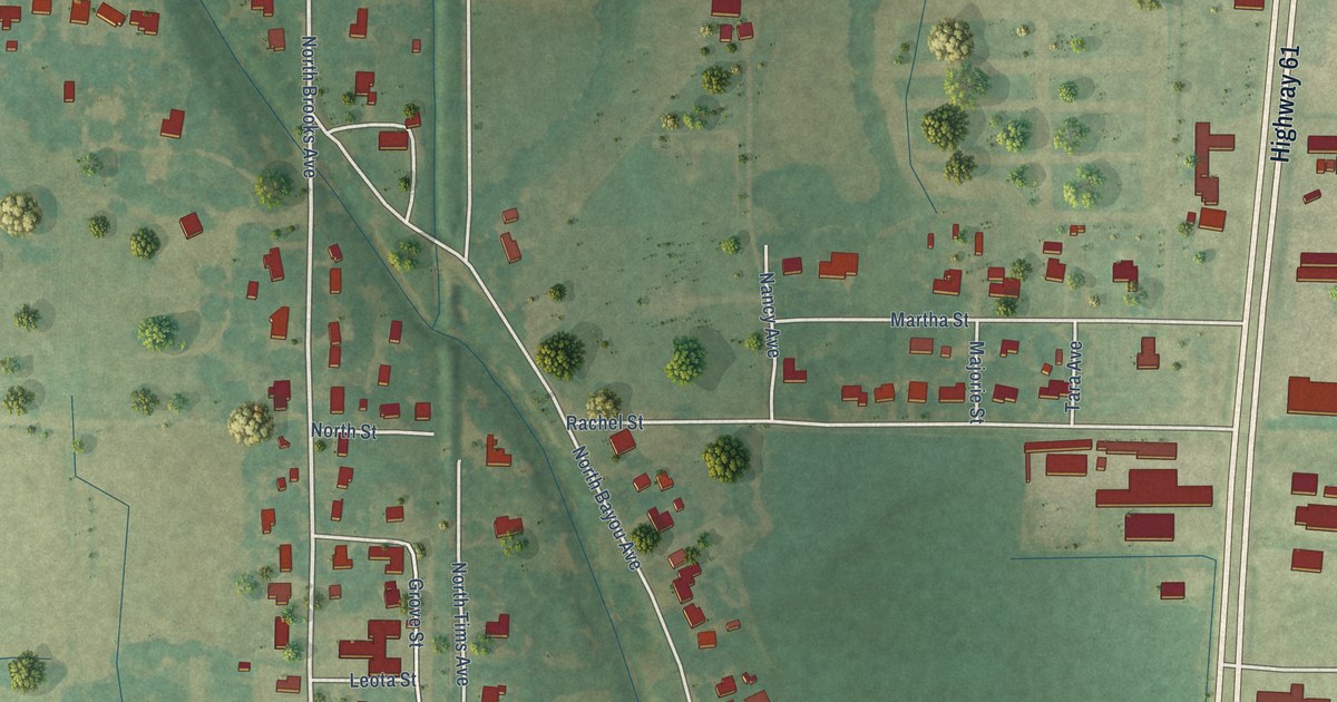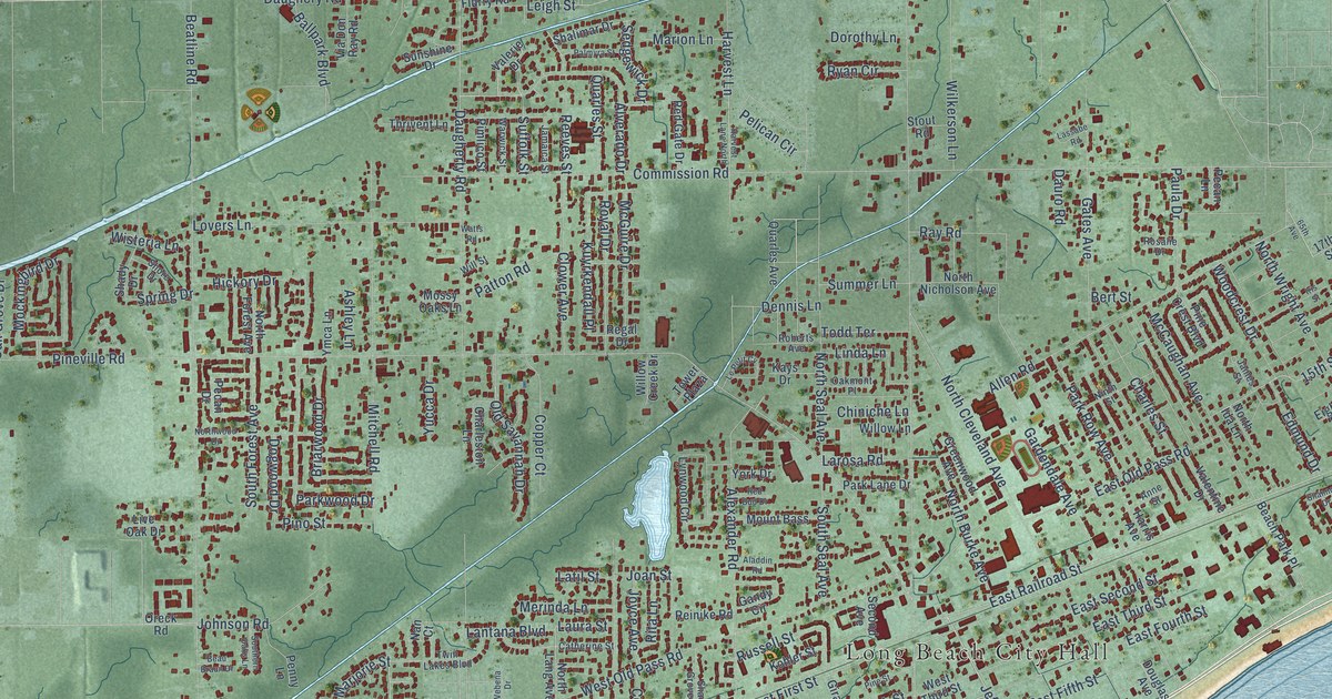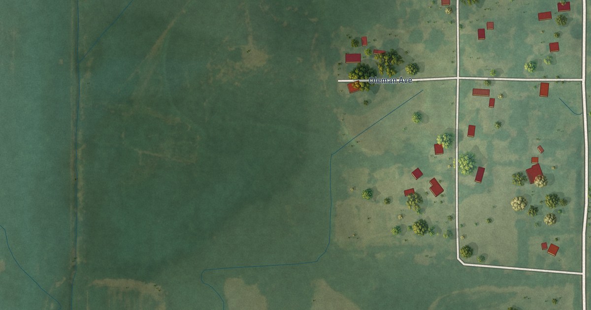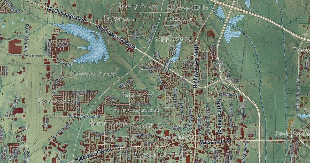
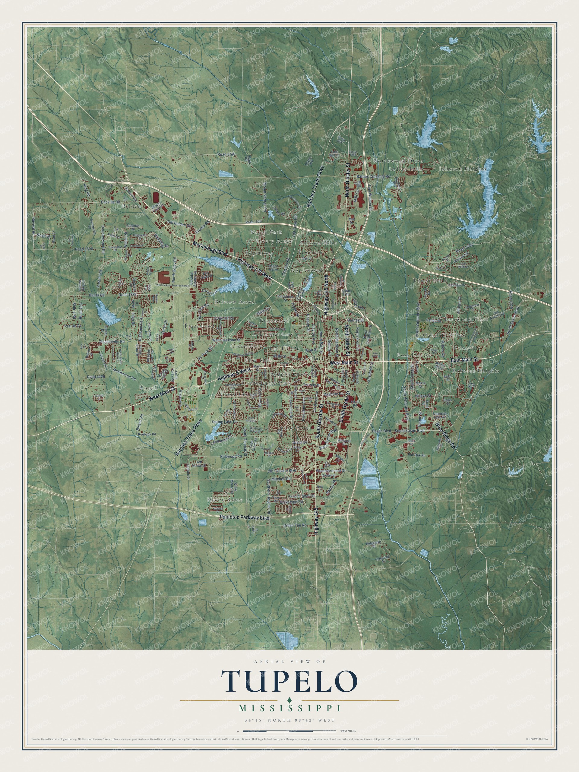
This beautifully detailed map of Tupelo, Mississippi was created in 2026 using aerial imagery combined with modern topographical, census, street and landmark data. It's a modern aerial view of Tupelo in Lee County, Mississippi, that combines modern data with a vintage aesthetic. The roads feature printed names, and if you look closely you can find your exact house accurately shown in its correct location.
Explore an aerial view of Tupelo, Mississippi
On this map you'll find Ballard park, Ackia Gardens, Allyson Hills, Applewood, Belden, Bissell, Boggan Grove, Briarwood, Bristow Acres, Clark Place, Confederate Park, Eastwood Place, and more. Each red shape is a building, so zoom in on the preview and look for yours.
Here is a piece of Tupelo history, in the words of the record. The record at mississippiencyclopedia.org puts it this way: "Tupelo became famous in 1934 as the first city to receive power through the Tennessee Valley Authority."
Tupelo is a city in Lee County. The Census Bureau counted 37,923 people here in 2020.
Take a closer look at the Tupelo map
Names on this map
These names are printed on this map.
Places: Ballard Park, Ackia Gardens, Allyson Hills, Applewood, Belden, Bissell, Boggan Grove, Briarwood, Bristow Acres, Clark Place, Confederate Park, Eastwood Place, Edgemont, Forest Hills, Foxmoor, Green Acres, Haven Acres, Indian Hills, Johnson Heights, Lar-Eli-Do, Lee Acres, North Park, Northwood Drive, Oakcliff Villas, Pine Hill, Post Estates, Priceville, Rebecca Heights, Savery Acres, Traceland, Tracewood and Highland Park.
Streets and roads: McCullough Boulevard, East Main Street, North Gloster Street, Briar Ridge Road, West Main Street, Pontotoc Parkway East, Highway 178 West, Highway 6 West, South Gloster Street, Natchez Trace Parkway, Highway 145 North, Highway 145.
More street names, A to Z
Abby Lane, Adams Farm Road, Air Park Road, Ashley Lane, Ashley Street, Audubon Drive, Auston Street, Autumn Hills Drive, Baker Street, Barnes Crossing Road, Barnes Street, Beasley Drive, Belden Pike, Belledeer Drive, Bickerstaff Street, Big Oaks Boulevard, Bissell Road, Blackwell Street, Blair Street, Bob White Drive, Bonnie Drive, Boone Street, Brooks Road, Bryan Drive, Buse Street, Butler Road, Carver Lane, Cedar Grove Road, Chester Street, Chesterville Road, Clayton Avenue, Clayton Road, Cliff Gookin Boulevard, Coleman Circle, Colonial Estates Road, Columbine Drive, Commerce Street, Confederate Avenue, Convention Drive, Cottonwood Lane, Country Club Road, Countrywood Road, Creeley Road, Crestwood Drive, Crossover Road, Daybrite Drive, Doctor 649, Doctor 1698, Dogwood Drive, Drive 95, Drive 657, Eason Boulevard, East Bristow Drive, East Drive, East First Street, Eckford Street, Elizabeth Street, Endville Road, Erin Street, Fain Lane, Fair Oaks Drive, Fairpark Drive, Fant Avenue, Feemster Lake Road, Fenco Drive, Filgo Road, Fillmore Drive, Free Will Lane, Garden Lane, Garfield Street, Glasgow Lane, Graham Drive, Greenbriar Road, Green Tee Road, Gun Club Road, Hadley Street, Hale Drive, Hamm Street, Hickorywood Drive, Hilda Avenue, Hillsdale Drive, Holly Hill Drive, Huntington Place, Ida Street, Indian Trail, International Drive, Jeff Homan Street, Jim Street, Jones Drive, Joyner Street, Kincannon Street, King Road, Kirkwood Road, Kruger Drive, Lackey Lane, Lakefield Drive, Lakeover Drive, Lake Street, Lakeview Drive, Laos Drive, Lawndale Drive, Leighton Drive, Lemons Drive, Lockridge Street, Locust Lane, Lynn Circle, Main Street, Mall Circle, Mall Drive, Market Street, Martin Hill Drive, Martin Street, Mattox Street, Maynard Drive, McPherson Road, Meadow Circle, Meadow Lake Drive, Mel Drive, Mitchell Road, Mitts Drive, Mount Vernon Road, Muffi Lane, Nelle Street, Nixon Drive, North Coley Road, North Commerce Street, North Eason Boulevard, North Feemster Lake Road, North Front Street, North Green Street, North Lake Drive, North Madison Street, North Park Street, North Sweet Gum Lane, North Veterans Boulevard, Oakcrest Drive, Oakview Drive, Old Auborn Road, Old Belden Circle, Old Towne Circle, Old Town Road, Orchid Circle, Parish Drive, Pecan Grove, Pierce Street, Pinecrest Drive, Plant Road, Polk Street, Poplarville Street, Prairie Cv, President Avenue, Presley Circle, Purnell Road, Quail Creek Road, Ranch Road, Red Oak Road, Revival Road, Rex Drive, Ridgelake Drive, Ridgemoor Drive, Ridgeway Drive, Ripple Road, River Run, Road 35, Road 37, Road 103, Road 461, Road 1029, Road 1226, Road 1378, Road 1460, Road 1500, Road 1558, Road 1740, Rob Drive, Robert East Lee Drive, Robins Street, Roebuck Road, Rowan Oak, Ruffwood Road, Ruth Street, Scott Road, Scott Street, Senter Street, Shea Street, Shelby Drive, Shell Street, Sherry Road, Shonda Circle, Silver Tree Crossing, South Canal Street, South Church Street, South Cla Wood Place, South Coley Road, South Eason Boulevard, Southern Heights Road, South Green Street, South Industrial Road, South President Avenue, South Spring Street, South Thomas Street, South Veterans Boulevard, Spring Lake Drive, Summerlin Drive, Sunningdale Drive, Terry Road, Timberlane Road, Tom Watson Drive, Tulip Road, Turner Drive, Tyler Drive, Tyler Willis Lane, Valley Vista Drive, Van Buren Avenue, Van Street, Varsity Drive, Village Lake Drive, Walsh Road, Wendover Drive, West Eason Boulevard, Westgate Drive, West Jackson Street, West Jackson Street Extended, Westmoreland Drive, Whitaker Drive, William Drive, Willie Moore Road, Willow Road, Wilson Street, Winfield Drive, Winged Foot Road.
Created by KNOWOL in 2026. The buildings are small red shapes, the roads carry their printed names, and shaded relief shows the shape of the land. The title panel reads "AERIAL VIEW OF TUPELO MISSISSIPPI" with 34°15' NORTH 88°42' WEST.
It suits a den, a classroom or a front hall, and it makes a gift for anyone with Tupelo roots. Open the preview and find the block you know. See sizes and frames for the Tupelo map.