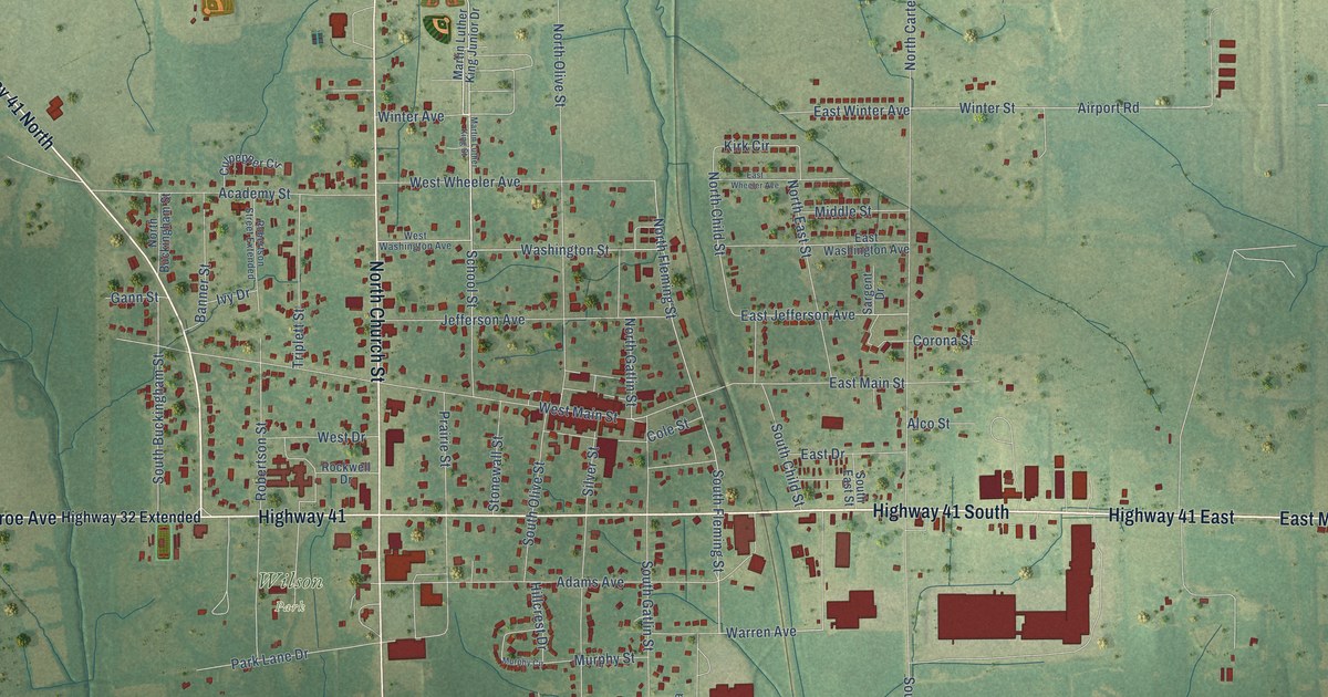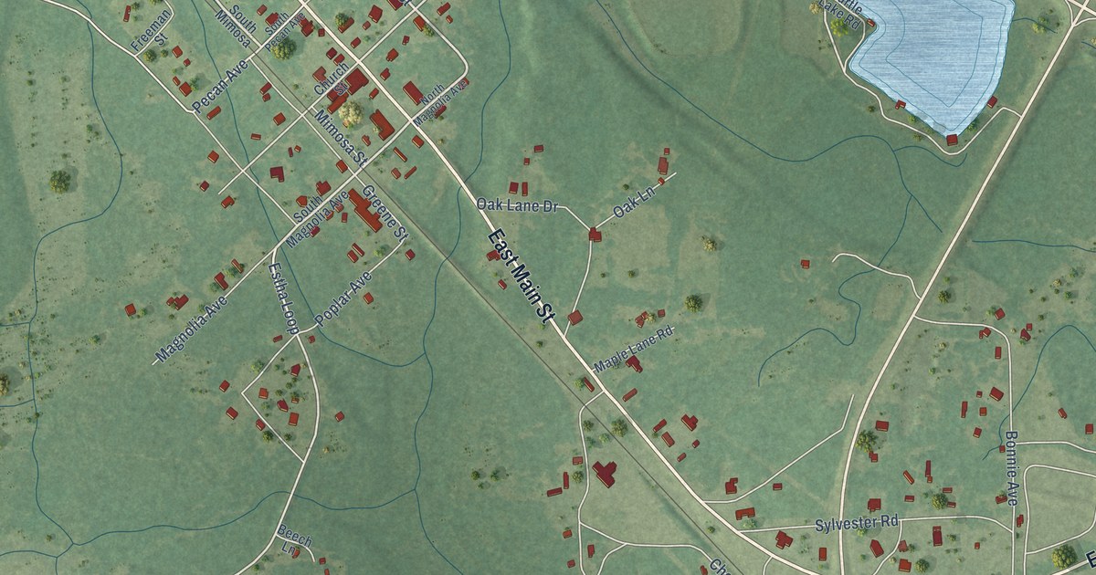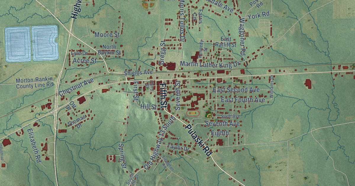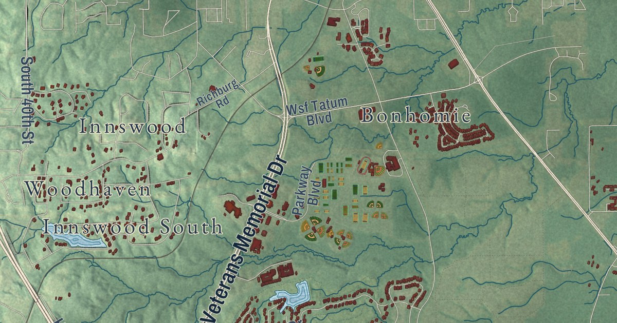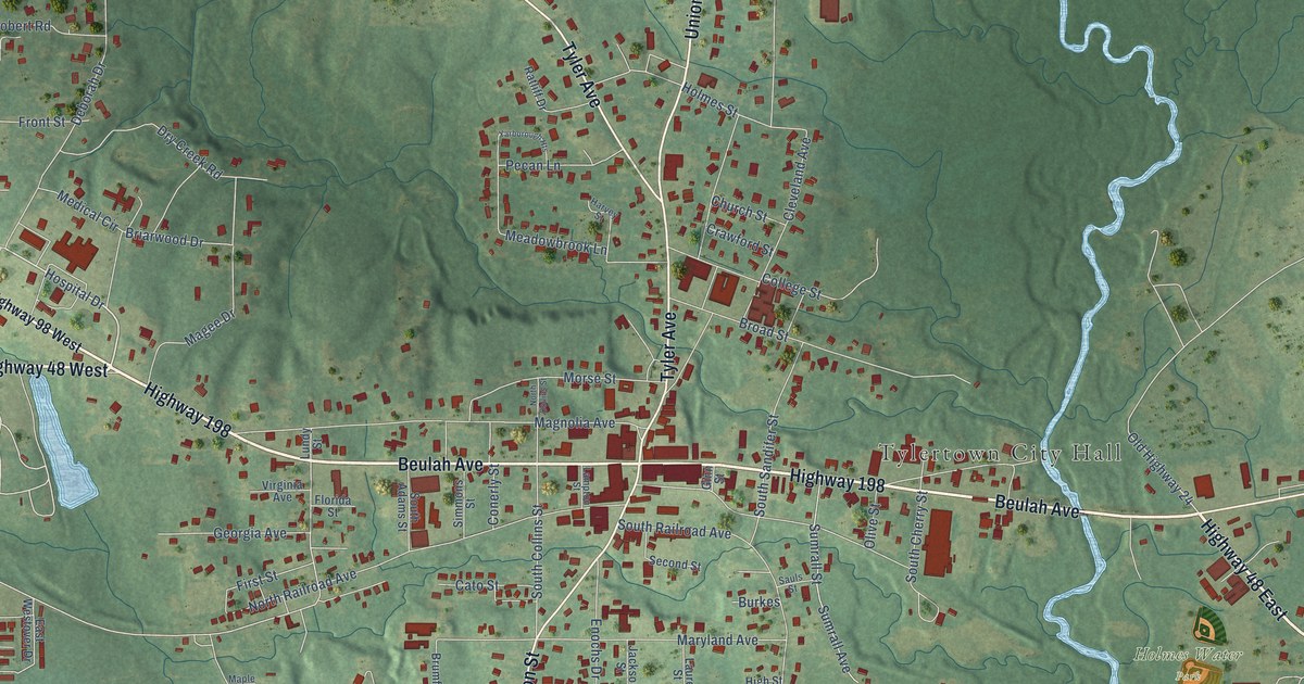
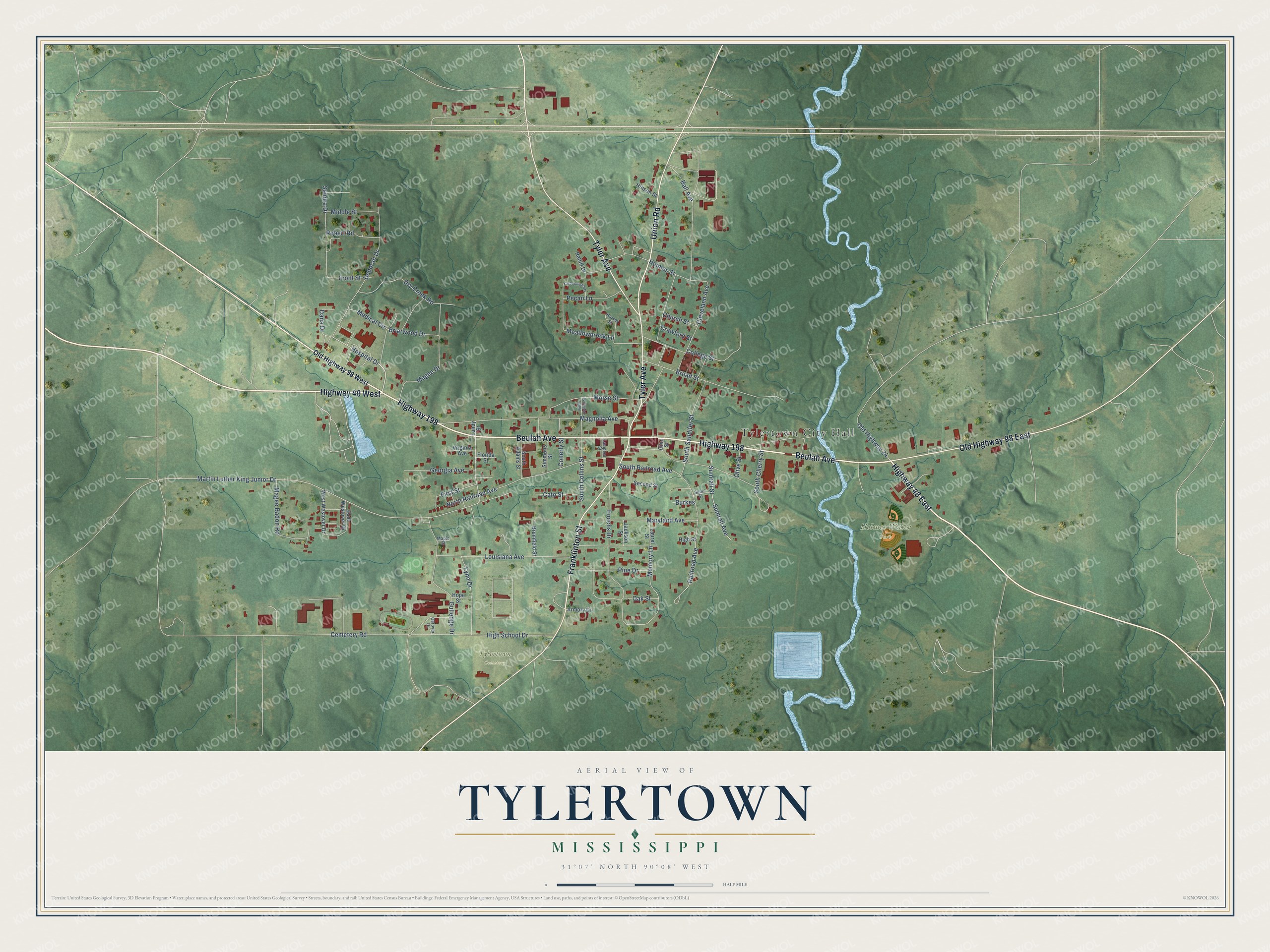
This beautifully detailed map of Tylertown, Mississippi was created in 2026 using aerial imagery combined with modern topographical, census, street and landmark data. It’s a one-of-a-kind view of Tylertown that combines accurate data with a vintage aesthetic. The map shows every building in its true location, many of the roads carry their names, and the shaded topographic relief shows the shape of the land.
Explore an aerial view of Tylertown, Mississippi
On the map you’ll find Tylertown City Hall, Holmes Water Park, Tylertown Cemetery, and Old Highway 98 East, along with Highway 48 East, Highway 48 West, Beulah Avenue, Highway 198, Union Road, Tyler Avenue, Franklinton Street, Hospital Drive, and more. If you look closely you can even find your house accurately drawn in its correct location. Zoom in on the preview to look for yours.
Did you know this piece of Tylertown, Mississippi history?
Tylertown began as the Magee Settlement, started by the Magee and Thornhill families from South Carolina. Storekeeper Cullen Conerly opened a post office there, and the town was called Conerly’s from 1848 to 1879. It was then renamed Tyler Town for William G. Tyler. The two words became one in 1894.
Take a closer look at the Tylertown map
Street and place names on the Tylertown, Mississippi map
These names are printed on the map of Tylertown, Mississippi.
Places: Tylertown City Hall, Holmes Water Park and Tylertown Cemetery.
Streets and roads: Highway 48 East, Highway 48 West, Beulah Avenue, Highway 198, Union Road, Tyler Avenue, Franklinton Street, Old Highway 98 East, Hospital Drive, Old Highway 24, Martin Luther King Junior Drive, Magee Drive.
More street names, A to Z
Armory Drive, Ball Avenue, Briarwood Drive, Broad Street, Brumfield Street, Burkes, Cato Street, Cemetery Road, Church Street, Cleveland Avenue, College Street, Conerly Street, Crawford Street, Dana Drive, Deborah Drive, Dry Creek Road, East Westover Drive, Enochs Drive, First Street, Florida Street, Front Street, Georgia Avenue, Ginn Street, Gulledge Drive, Harvey Street, High School Drive, High Street, Hinson Street, Holmes Street, Hope Street, Jackson Street, Lampton Street, Laurel Street, Louisiana Avenue, Lundy Street, Lynn Drive, Magee Badon Road, Magnolia Avenue, Maple Street, Maryland Avenue, Meadowbrook Lane, Medical Circle, Memory Lane, Middle Street, Morse Street, North Collins Street, North Railroad Avenue, Oak Street, Old Highway 98 West, Olive Street, Ostover Drive, Pecan Lane, Pine Drive, Railroad Avenue, Ratliff Drive, Robert Road, Sandra Drive, Sauls Street, Second Street, Simmons Street, South Adams Street, South Cherry Street, South Collins Street, South Railroad Avenue, South Sandifer Street, Sumrall Avenue, Sumrall Street, Virginia Avenue, West Westover Drive, Yarborough Heights.
See the Tylertown, Mississippi map on a wall
The Tylertown map as an 18 x 24 inch print in a black frame.

This beautifully detailed map of Tylertown makes an attractive addition to your office, library, or den, and it can even be used to teach children the geography and history of the area. It also makes a great gift for anyone with Tylertown roots. When you’re done exploring, click here to get your copy of the Tylertown map.