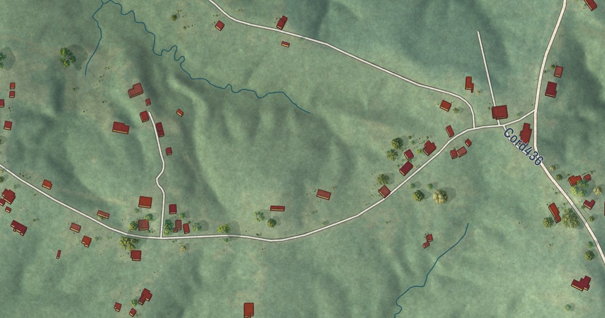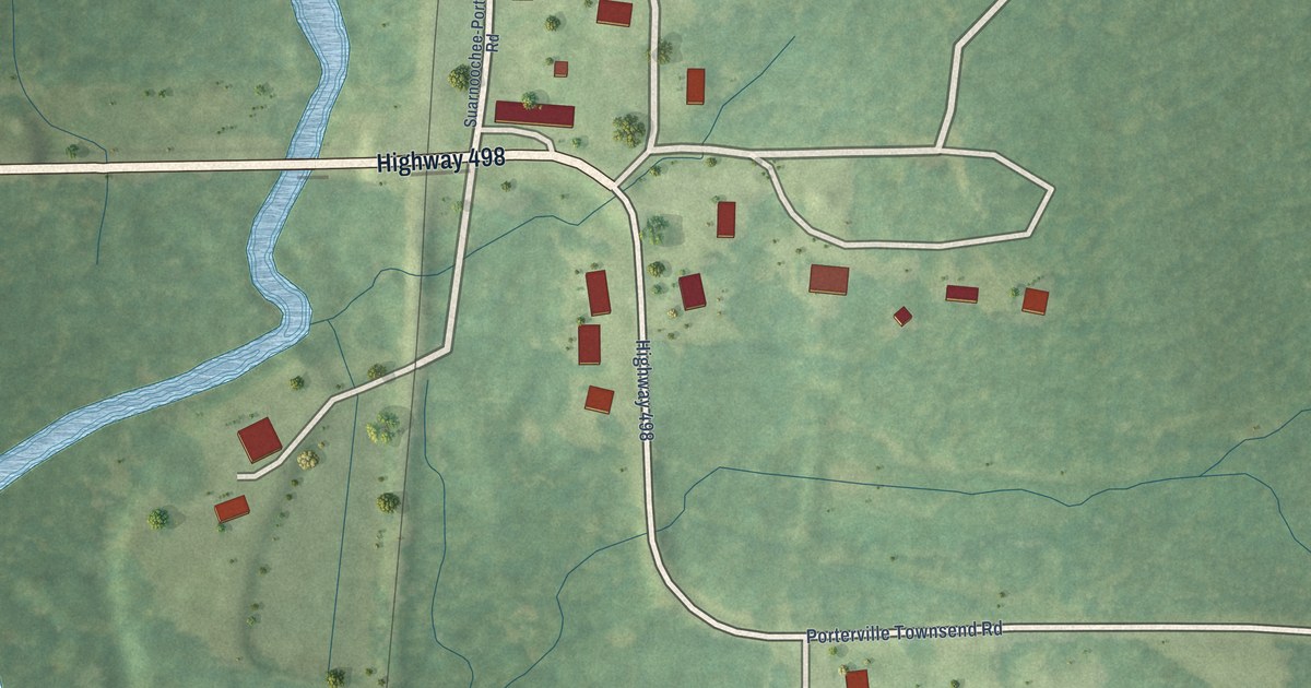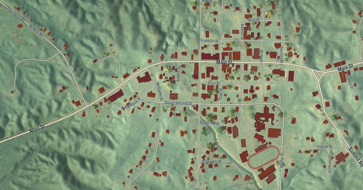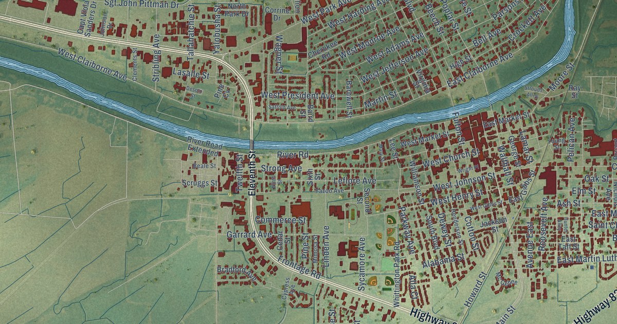
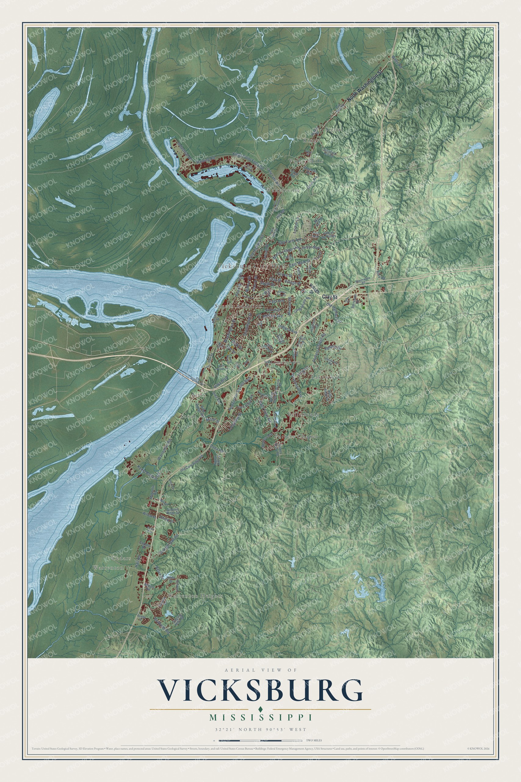
This beautifully detailed map of Vicksburg, Mississippi was created in 2026 using aerial imagery combined with modern topographical, census, street and landmark data. It’s a one-of-a-kind view of Vicksburg that combines accurate data with a vintage aesthetic. The map shows every building in its true location, many of the roads carry their names, and the shaded topographic relief shows the shape of the land.
Explore an aerial view of Vicksburg, Mississippi
On the map you’ll find Vicksburg City Hall, Warrenton Heights, Warrenton, Cedars, Bellemeade, Jetts, Jonestown, Kings, Lakewood, Porters Chapel, Signal, Speeds Addition, and more. If you look closely you can even find your house accurately drawn in its correct location. Zoom in on the preview to look for yours.
Did you know this piece of Vicksburg, Mississippi history?
From Mississippiencyclopedia.org: "Joseph Brunini, born in Vicksburg in 1909, became an important Catholic bishop in Mississippi."
Take a closer look at the Vicksburg map
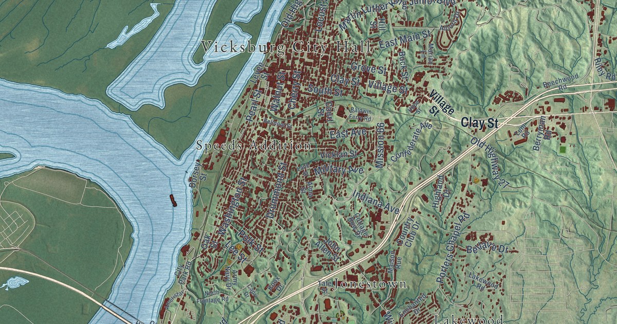
Street and place names on the Vicksburg, Mississippi map
These names are printed on the map of Vicksburg, Mississippi.
Places: Vicksburg City Hall, Warrenton Heights, Warrenton, Cedars, Bellemeade, Jetts, Jonestown, Kings, Lakewood, Porters Chapel, Signal, Speeds Addition, Stout, Valley Mills and Waltersville.
Streets and roads: Clay Street, North Washington Street, Old Highway 61, Washington Street, Hill Road, Lee Street, Pearl Street, Drummond Street, Village Street, Halls Ferry Road, Porters Chapel Road, Haining Road.
More street names, A to Z
Alcorn Drive, Alfred Drive, Alma Street, Ameristar, Army Navy Drive, Baldwin Ferry Road, Bazinsky Road, Beechwood Road, Bellaire Drive, Belmont Street, Belva Drive, Berryman Road, Briar Lane, Buck Street, Buena Vista Drive, Cain Ridge Road, Capri Drive, Cedars Road, Cherry Street, City Park Road, Coast Guard Road, Confederate Avenue, Cottage Row Drive, Country Club Drive, Court Street, Dana Road, Demby Drive, Dorsey Street, East Avenue, East Main Street, Enchanted Drive, Falk Steel Road, First Avenue, Fisher Ferry Road, Ford Road, Fort Hill Drive, Grange Hall Road, Grove Street, Hall Road, Highland Drive, Hilda Drive, Hills of the Valley, Hill Street, Holly Ridge Drive, Hope Street, Hullum Road, Hutson Street, Indiana Avenue, Industrial Drive, Iowa Avenue, Iowa Boulevard, Irene Street, John Allen Street, Kemp Bottom Road, Kendra Drive, Kings Point Ferry Road, Knox Drive, Lakewood Road, Lane Street, Levee Street, Linda Drive, Locust Street, Long Lake Road, Longview Street, Lovers Lane, Lum Road, Magnolia Road, Maison Rue, Marian Lane, Martin Luther King Junior Boulevard, Melrose Avenue, Military Avenue, Miller Street, Mission 66, North Frontage Road, Oak Street, Old Cain Ridge Road, Old Highway 27, Old Highway 80, Pemberton Square Boulevard, Polk Street, Redbone Road, Rifle Range Road, Riley Road, Riverview Drive, Roseland Drive, Rubber Way, Sherman Avenue, Signal Hill Lane, Singing Hills Road, Sky Farm Avenue, Sky Vale Drive, South Street, Standard Hill Road, Summit Ridge Drive, Tate Street, Tennessee Road, Union Avenue, Vicklan Street, Walnut Street, Warrenton Road, Wells Road, Wilbert Lane, Willow Drive, Wisconsin Avenue.
See the Vicksburg, Mississippi map on a wall
The Vicksburg map as an 18 x 24 inch print in a black frame.

This beautifully detailed map of Vicksburg makes an attractive addition to your office, library, or den, and it can even be used to teach children the geography and history of the area. It also makes a great gift for someone who left Vicksburg and still calls it home. When you’re done exploring, click here to get your copy of the Vicksburg map.