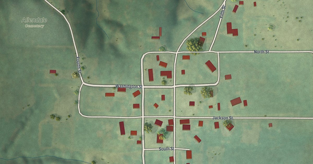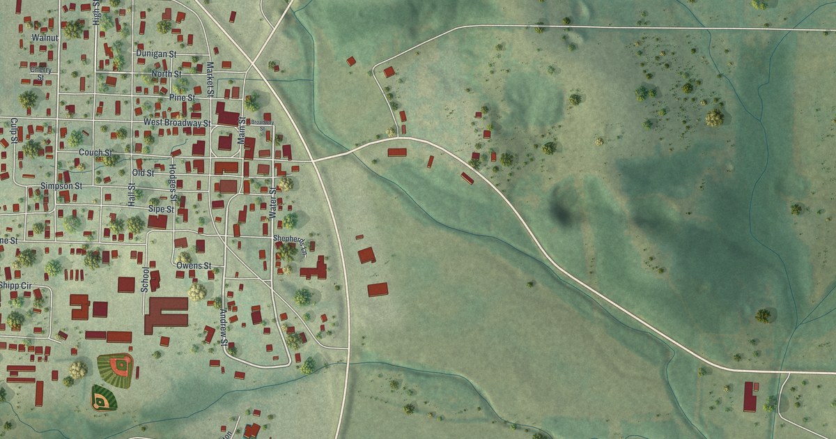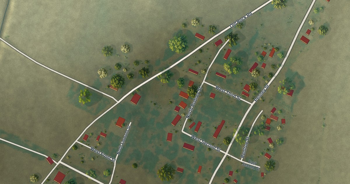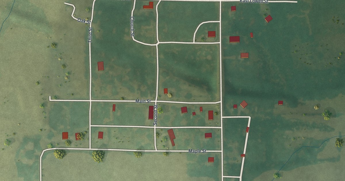
If you grew up in Amity or still have family on Lowell Street or Main Street, this map puts the whole town on one sheet. It's a modern aerial view of Amity in DeKalb County, Missouri, made from modern data and given a vintage look. The town sits in the middle of the sheet as a small grid of streets, with its buildings marked in red. Green fields spread out on every side, split into big blocks by straight country roads. Thin blue creeks wind down through the upper left corner.
Lowell Street, Maple Street and Main Street in Amity
Start on Lowell Street, along the top edge of town. Head east and cross the long, straight road that runs top to bottom through the whole sheet. On the far side, the name changes to East Lowell Street. Now go back west. Oak Street sits at the top left corner of the grid. Head south from there on Third Street and you'll cross Main Street, then come to Maple Street near the bottom of town. Church Street and Second Street are printed in the grid too.
From the west end of Maple Street, a road turns south along the edge of an open field. It meets Southwest Frank Ross Road, which runs straight across the lower part of the map. There are 55 buildings drawn on the sheet, each one a small red shape. Many of the roads are labeled, so zoom in on the preview and look for yours.
Amity's 26 people and the creeks west of town
Amity is a town of 26 people, according to the 2020 Census. The land around it takes up most of the map. In the upper left corner, small creeks run south and join one another as they go. Trees stand in clumps along the banks and out in the fields. East of the long road, the fields turn a deeper green and sit in wide, square blocks. Follow Southwest Frank Ross Road to that road and you'll see where the blocks begin.
For anyone who knows Lowell Street or Main Street in Amity
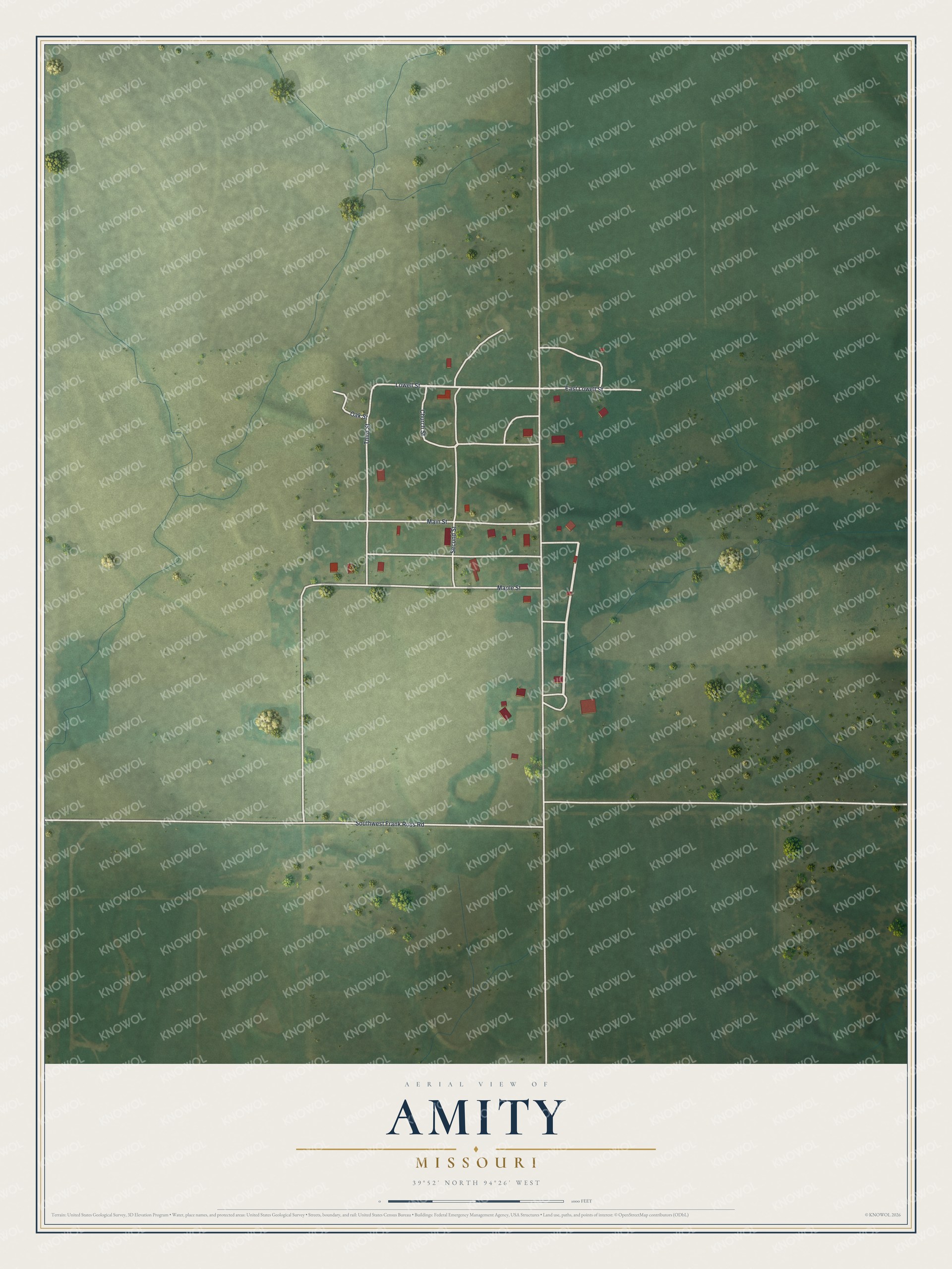
Created by KNOWOL in 2026, this Amity map shows red buildings and pale roads on green fields, with blue creeks and small trees, inside a cream border. The shading comes from USGS elevation data, and the roads come from Census Bureau records. The title panel reads "Aerial View of Amity, Missouri" with 39°52' North, 94°26' West and a scale bar in feet.
It suits a kitchen, a den or a farmhouse hallway where people pass it every day. It's a thoughtful gift for someone who grew up on Lowell Street and moved away, or for family who still live in Amity. Open the preview, zoom in on the grid, and see which houses you can pick out. See sizes and frames for the Amity map.