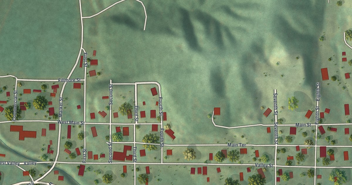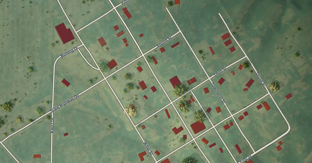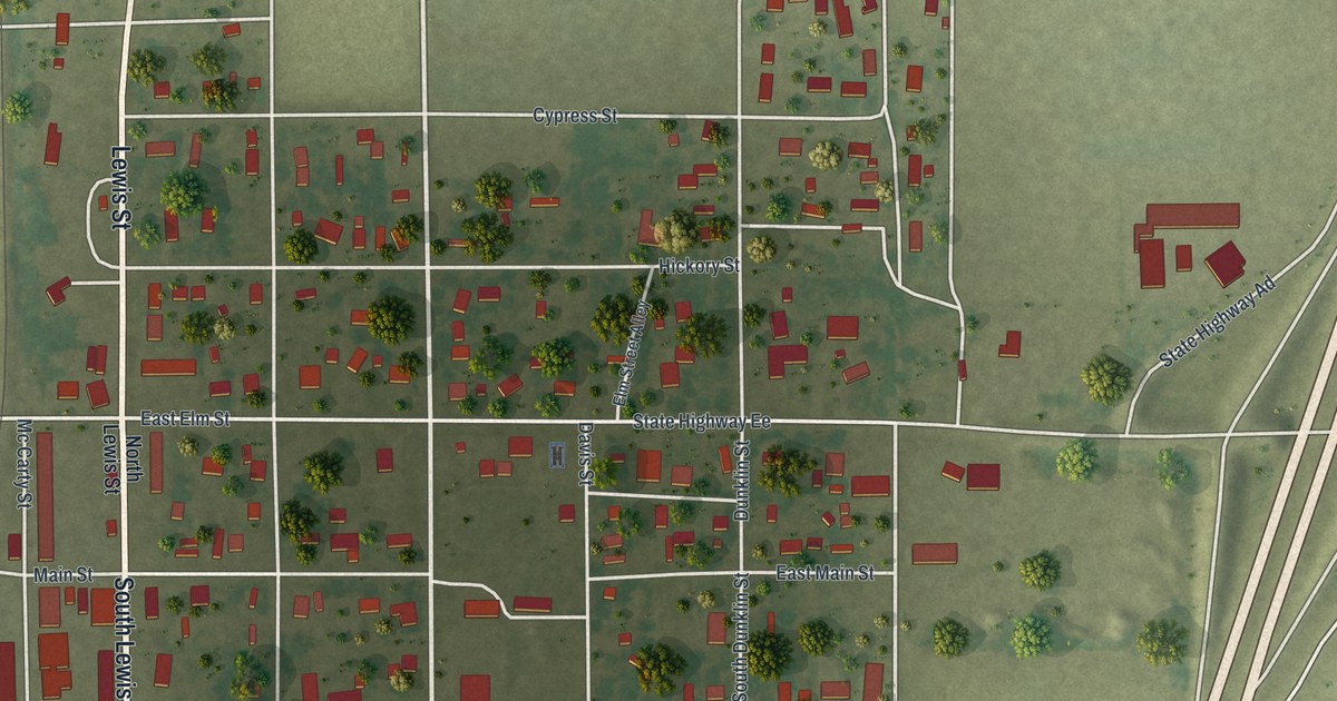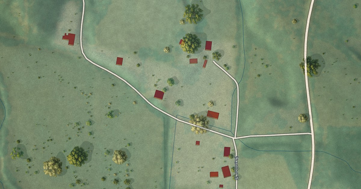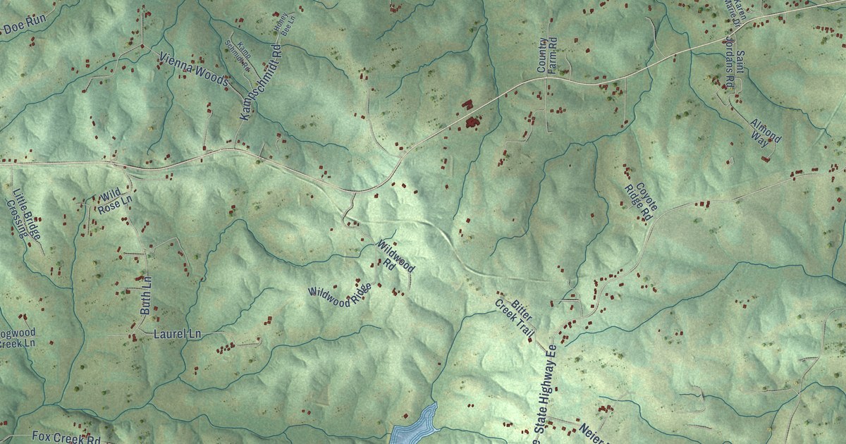
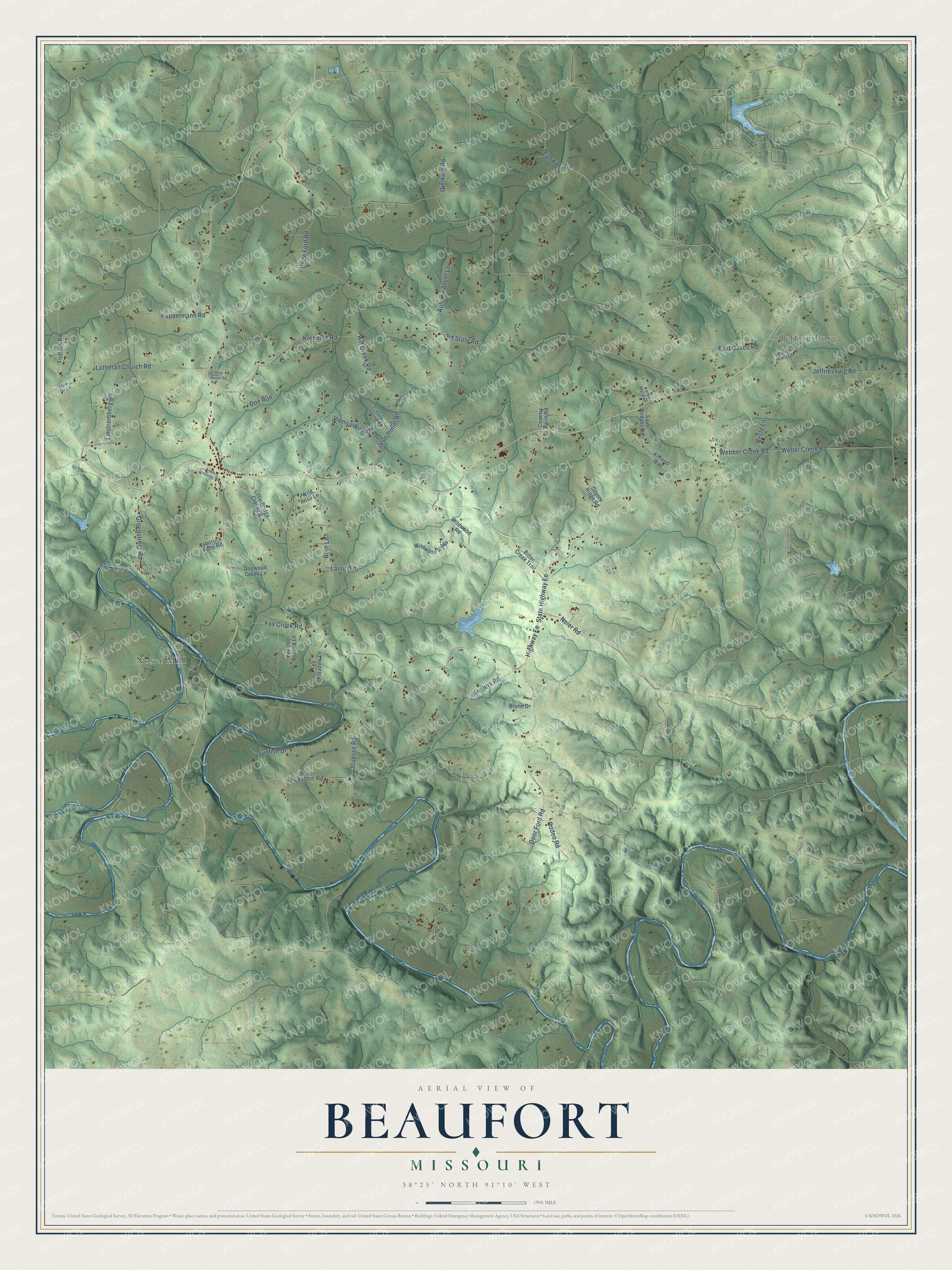
This beautifully detailed map of Beaufort, Missouri was created in 2026 using aerial imagery combined with modern topographical, census, street and landmark data. It’s a one-of-a-kind view of Beaufort that combines accurate data with a vintage aesthetic. The map shows every building in its true location, many of the roads carry their names, and the shaded topographic relief shows the shape of the land.
Explore an aerial view of Beaufort, Missouri
On the map you’ll find Greenstreet, Jeffriesburg, and Noser Mill, along with East Casco Road, Old State Road, Highway Ee, State Highway Ee, Fox Creek Road, Krenning Road, Stuesse Road, Anglers Road, Jeffriesburg Road, and more. If you look closely you can even find your house accurately drawn in its correct location. Zoom in on the preview to look for yours.
Did You Know?
From Internet Archive: "The railroad, connecting Beaufort with the interior of the State, runs northwestward through Newbern to Goldsboro."
Beaufort is a community in Franklin County.
Take a closer look at the Beaufort map
Names on this map
These names are printed on this map.
Places: Greenstreet, Jeffriesburg and Noser Mill.
Streets and roads: East Casco Road, Old State Road, Highway Ee, State Highway Ee, Fox Creek Road, Krenning Road, Stuesse Road, Anglers Road, Jeffriesburg Road, Door Ford Road, Webber Creek Road, Weber Creek Road.
More street names, A to Z
Almond Way, Ariels Crossing Drive, Autumn Angel Lane, Beste Lane, Bitter Creek Trail, Bolte Ford Road, Brune Drive, Buth Lane, Charles Henry Lane, Country Farm Road, Coyote Ridge Road, Dierking Road, Doe Run, Dogwood Creek Lane, Eckstein Road, Flint Hill Road, Flintrock Farm Road, Fox Meadow Lane, Greenstreet Road, Highway Aj, Hill Creek Road, Honey Bee Lane, Kampschmidt Road, Kamp Schmidt Road, Kappelmann Road, Karen Marie Drive, Laurel Lane, Linstromberg Road, Little Bridge Crossing, Little Haven Road, Lutheran Church Road, Neier Road, Rodeo Road, Saint Jordans Road, Snow Fox Lane, Sunfish Drive, Vee Cee Estates Lane, Vienna Woods, Wild Rose Lane, Wildwood Ridge, Wildwood Road.
See it on a wall
The Beaufort map as a framed print. Swipe for more.


This beautifully detailed map of Beaufort makes an attractive addition to your office, library, or den, and it can even be used to teach children the geography and history of the area. It also makes a great gift for anyone who grew up in Beaufort or moved away. When you’re done exploring, click here to get your copy of the Beaufort map.