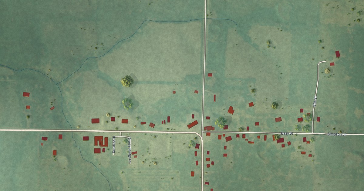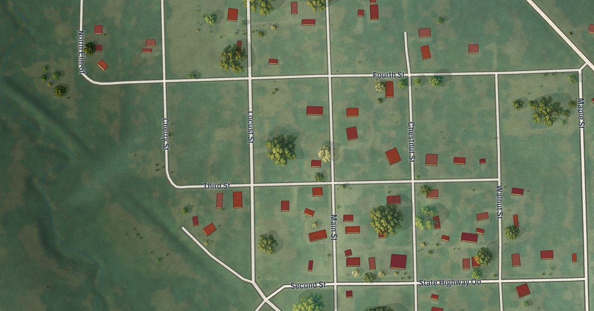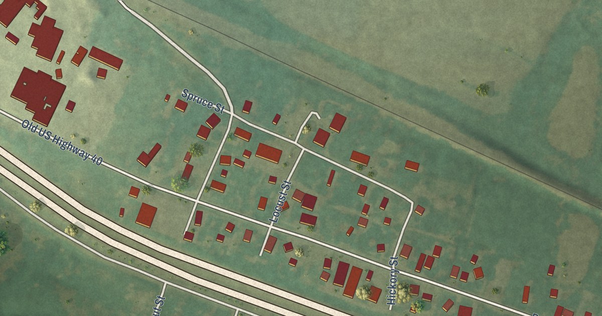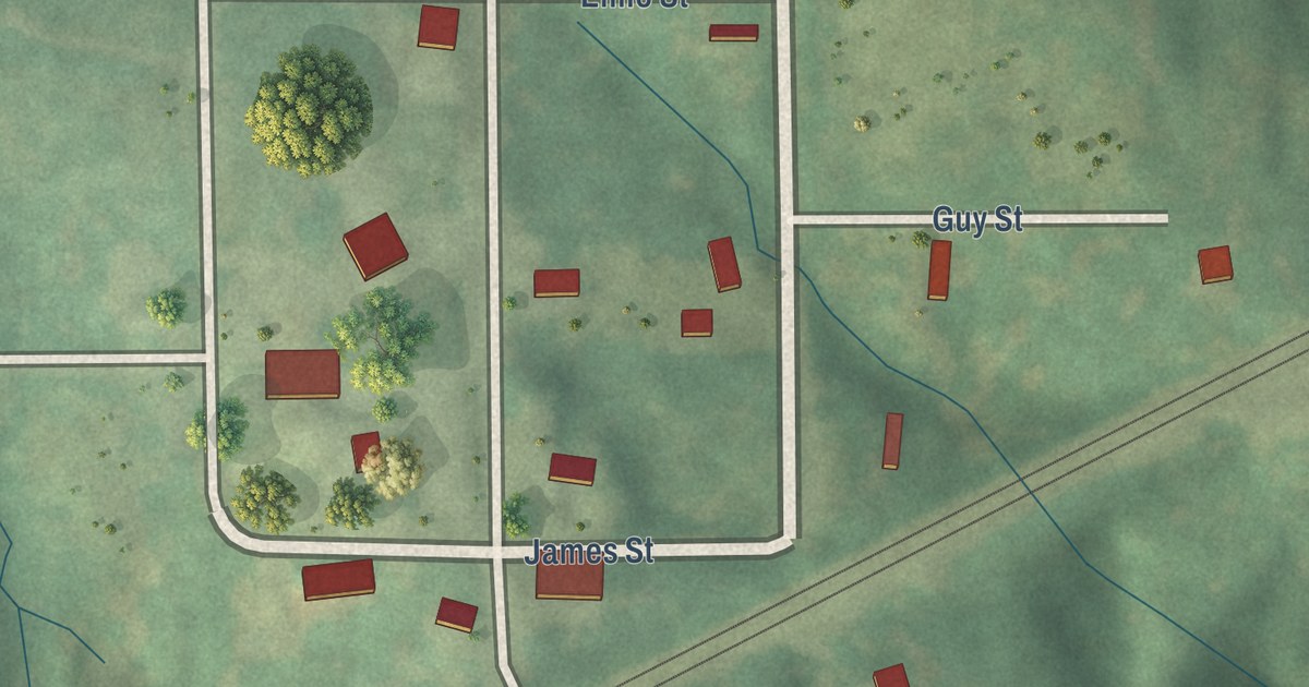
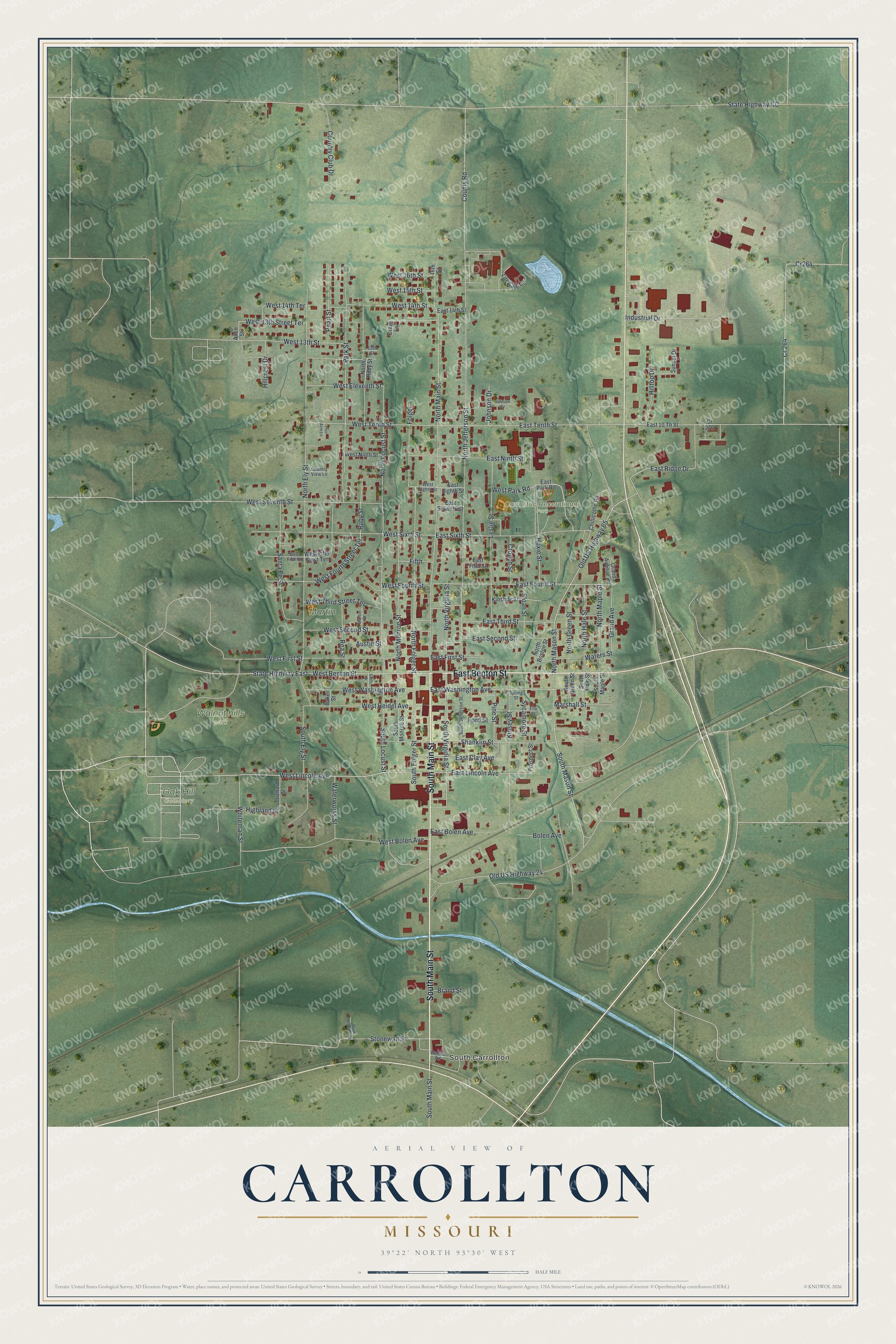
This beautifully detailed map of Carrollton, Missouri was created in 2026 using aerial imagery combined with modern topographical, census, street and landmark data. It’s a one-of-a-kind view of Carrollton that combines accurate data with a vintage aesthetic. The map shows every building in its true location, many of the roads carry their names, and the shaded topographic relief shows the shape of the land.
Explore an aerial view of Carrollton, Missouri
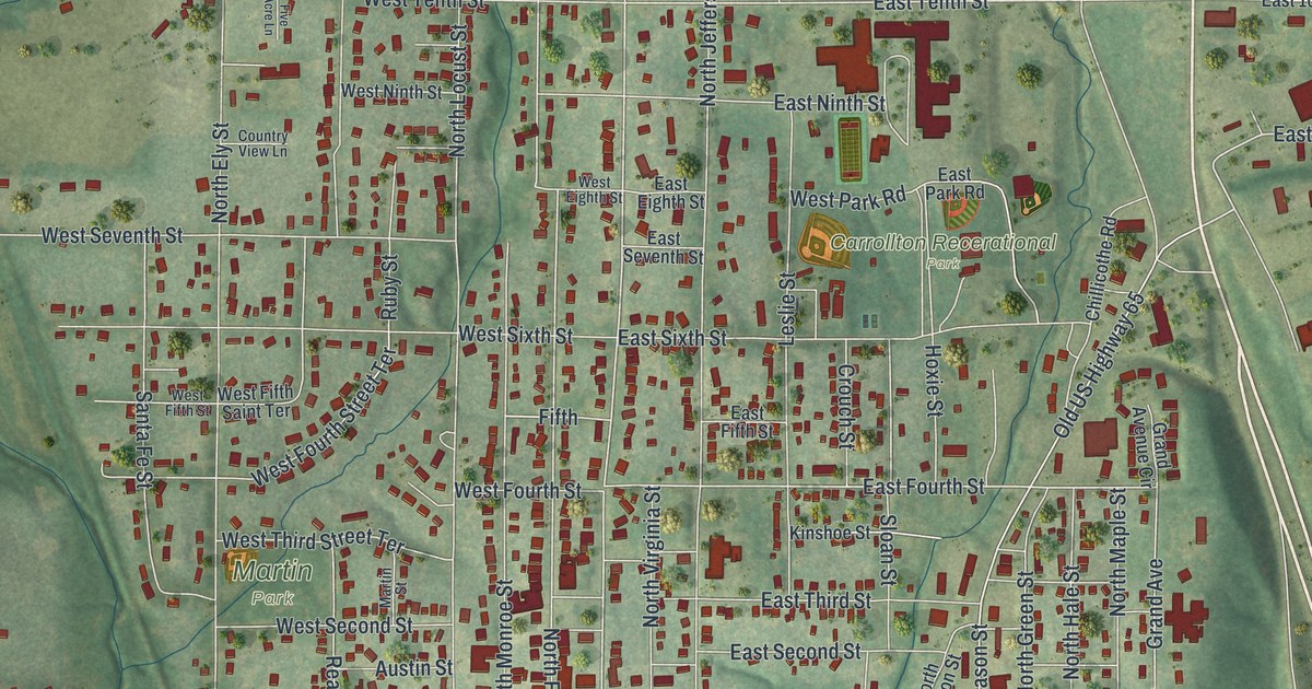
On the map you’ll find South Carrollton, Carrollton Recerational Park, Oak Hill Cemetery, Walnut hills park, and Martin Park, along with South Main Street, East Benton Street, West Lincoln Avenue, West Benton Street, East Lincoln Avenue, County Road, West Bolen Avenue, and more. If you look closely you can even find your house accurately drawn in its correct location. Zoom in on the preview to look for yours.
Did you know this piece of Carrollton, Missouri history?
John Standley of North Carolina settled on land now part of Carrollton in 1819. When two sons of a settler named Splawn were killed, fear spread. Standley and his neighbors built a small blockhouse on the hill in today’s southeast Carrollton. Peace returned, and it was never used. In 1833 Standley gave the land for the county seat. That’s from the 1881 History of Carroll County, Missouri.
Take a closer look at the Carrollton map
Street and place names on the Carrollton, Missouri map
These names are printed on the map of Carrollton, Missouri.
Places: South Carrollton, Carrollton Recerational Park, Oak Hill Cemetery, Walnut hills Park and Martin Park.
Streets and roads: South Main Street, East Benton Street, West Lincoln Avenue, West Benton Street, East Lincoln Avenue, County Road, West Bolen Avenue, East Ridge Drive, North Main Street, East Fourth Street, Cr264, Old US Highway 65.
More street names, A to Z
13th Street, 16th Street, Allen Street, Austin Street, Baker Street, Bolen Avenue, Brand Street, Chillicothe Road, Country Club Drive, Country View Lane, Cr 264, Cr 270, Craig Lane, Crouch Street, East 10 Th Street, East 14th Street, East Bolen Avenue, East Clay Avenue, East Eighth Street, East Fifth Street, East First Street, East Ninth Street, East Park Road, East Second Street, East Seventh Street, East Sixth Street, East Tenth Street, East Third Street, East Washington Avenue, Elm Street, Fifth, Five Acre Lane, Folger, Ford Street, Grand Avenue, Grand Avenue Circle, Highland Street, Hillcrest Drive, Hilltop Drive, Hoxie Street, Industrial Drive, Johnson Circle, Johnson Drive, Kinsey Street, Kinshoe Street, Leslie Street, Life Care Lane, Marshall Street, Martin Street, North Boston Street, North Ely Street, North Folger Street, North Green Street, North Hale Street, North Jefferson Street, North Locust Street, North Maple Street, North Mason Street, North Monroe Street, North Ruby Street, North Virginia Street, Old US Highway 24, Orchard Street, Park Street, Pearl Street, Pine Street, Prospect Street, Rea Street, Ruby Street, Santa Fe Street, Shanklin Street, Sloan Street, Smith Street, South Ely Street, South Folger Street, South Green Street, South Hale Street, South Jefferson Street, South Locust Street, South Maple Street, South Marshall Street, South Mason Street, South Monroe Street, South Virginia Street, Spring Street, State Highway CC, State Highway East, Stonewall Street, Sunset Drive, Sycamore Street, Wabash Road, Waters Street, Waterworks Street, West 13th Street, West 13th Street Terrace, West 14th Street, West 14th Terrace, West 15th Street, West 16th Street, West Eighth Street, West Eleventh Street, West Fifth Saint Terrace, West Fifth Street, West First Street, West Fourth Street, West Fourth Street Terrace, West Heidel Avenue, West Ninth Street, West Park Road, West Second Street, West Seventh Street, West Sixth Street, West Tenth Street, West Third Street Terrace, West Washington Avenue, Whiteman Street.
See the Carrollton, Missouri map on a wall
The Carrollton map as an 18 x 24 inch print in a black frame.

This beautifully detailed map of Carrollton makes an attractive addition to your office, library, or den, and it can even be used to teach children the geography and history of the area. It also makes a great gift for anyone who grew up in Carrollton or moved away. When you’re done exploring, click here to get your copy of the Carrollton map.