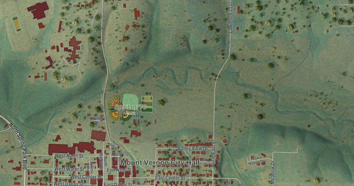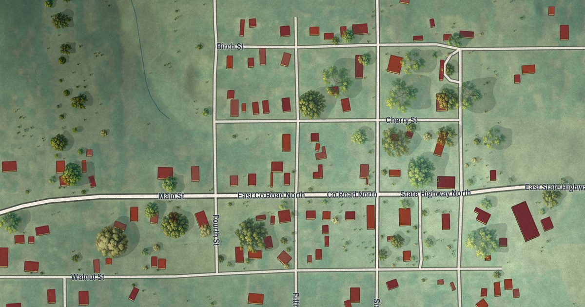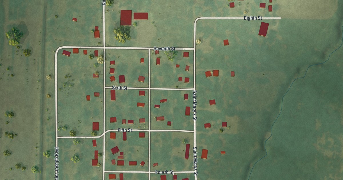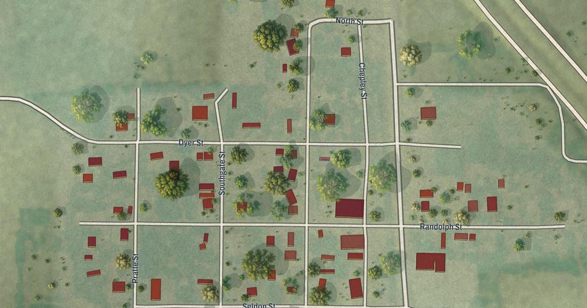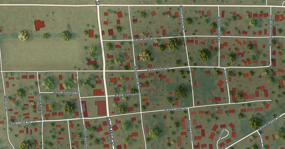
If you grew up in Clarkton, this print gives you familiar streets to find. It's a modern aerial view of Clarkton in Dunklin County, Missouri, made with modern data and a vintage feel. Red buildings line pale roads, with green fields around the town. Ball fields and scattered trees add details to explore.
North Main Street and the Site of Beech
On this map you'll find North Main Street, South Main Street, East Highway 162, West Clark Street, East Clark Street, East Commercial Street, West Commercial Street, East Union Street, West Union Street, West Depot Street, Shelton Drive, and more. Each red shape is a building, so zoom in on the preview and look for yours.
The blocks along North Main Street and South Main Street show Clarkton today. The town's story reaches back to a nearby place called Beech. The State Historical Society of Missouri's place-name account says Clarkton was laid out in 1876. It stood about a quarter mile south of the site of Beech.
The Charles and Bettie Birthright House at 109 S. Main St. is listed on the National Register of Historic Places.
South Main Street and the Clarkton Print
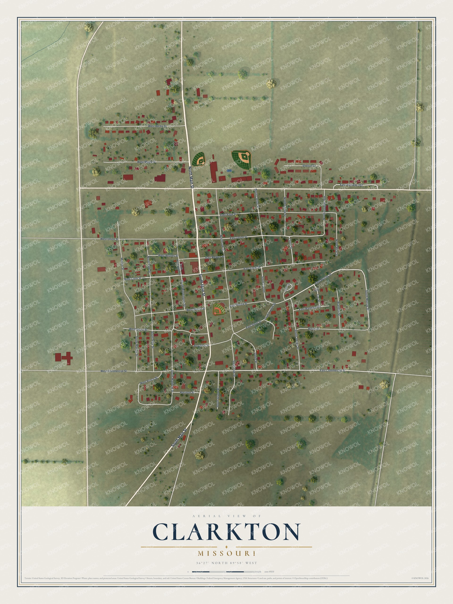
Created by KNOWOL in 2026, the print pairs soft greens with red buildings and pale streets. A cream border surrounds the view. The title panel reads AERIAL VIEW OF, CLARKTON, MISSOURI, with 36°27' NORTH 89°58' WEST below.
Hang it in a living room, home office, or entryway. It's a thoughtful gift for someone who grew up on South Main Street or has family in Clarkton. Open the preview to look for a familiar block and see the whole town view. See sizes and frames for the Clarkton map.