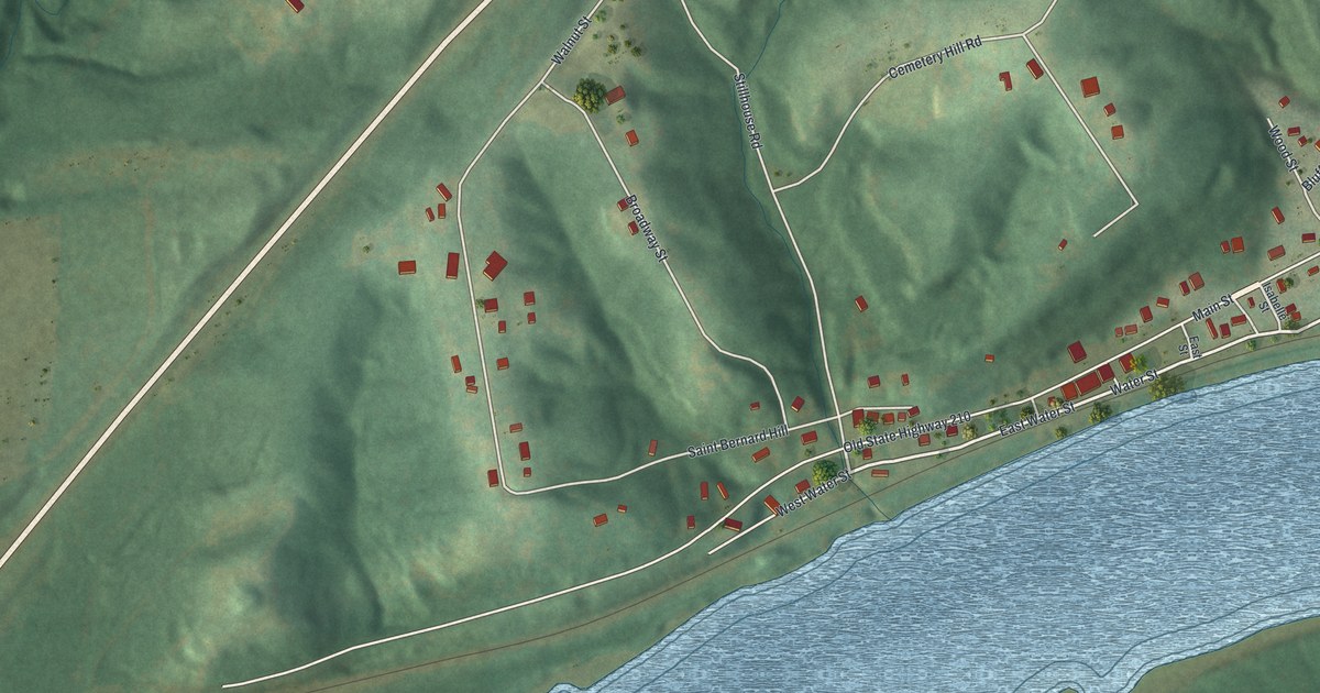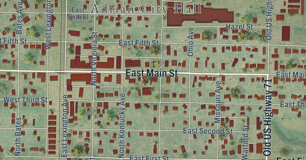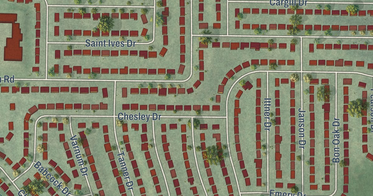
This beautifully detailed map of Dellwood, Missouri was created in 2026 using aerial imagery combined with modern topographical, census, street and landmark data. It’s a one-of-a-kind view of Dellwood that combines accurate data with a vintage aesthetic. The map shows every building in its true location, many of the roads carry their names, and the shaded topographic relief shows the shape of the land.
Explore an aerial view of Dellwood, Missouri
On the map you’ll find Kroeger Drive, Maldon Lane, West Florissant Avenue, Hudson Road, Keelen Drive, Trask Drive, Nashua Drive, Chambers Road, Thatcher Avenue, Tanner Drive, Champlin Drive, Dellridge Lane, and more. If you look closely you can even find your house accurately drawn in its correct location. Zoom in on the preview to look for yours.
Did you know this piece of Dellwood, Missouri history?
From About St. Louis: "Dellwood was incorporated as a city in 1954. The population of the city of Dellwood has remained relatively stable in the last 20 years."
Take a closer look at the Dellwood map
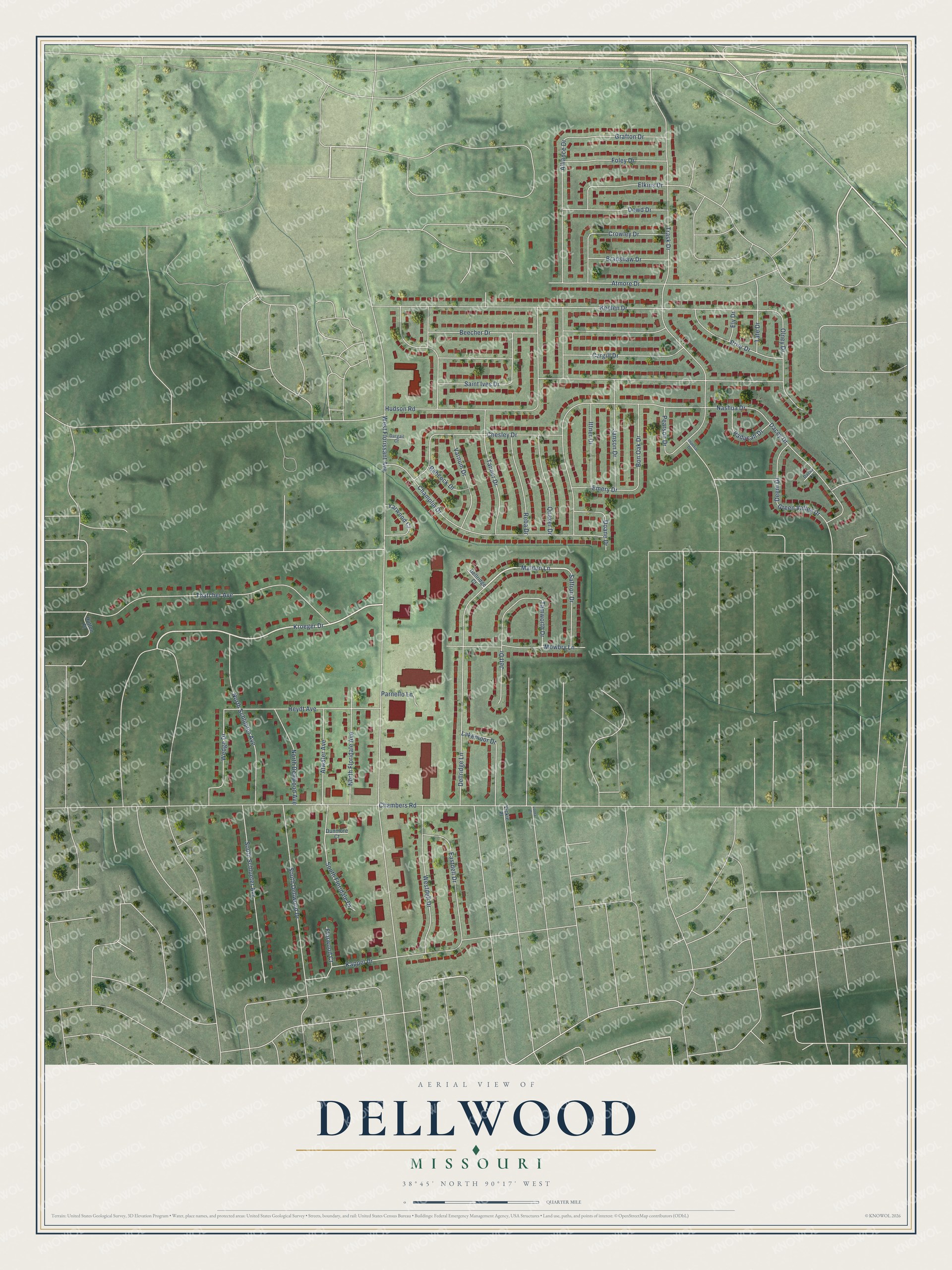
Street names on the Dellwood, Missouri map
These names are printed on the map of Dellwood, Missouri.
Streets and roads: Kroeger Drive, Maldon Lane, West Florissant Avenue, Hudson Road, Keelen Drive, Trask Drive, Nashua Drive, Chambers Road, Thatcher Avenue, Tanner Drive, Champlin Drive, Dellridge Lane.
More street names, A to Z
Alliance Drive, Atmore Drive, Atwater Avenue, Babcock Drive, Beecher Drive, Bon Oak Drive, Bradshaw Drive, Cargill Drive, Chesley Drive, Crowley Drive, Dacey Court, Dacey Drive, Dargail Court, Deem Drive, Dellridge Court, Doane Drive, Dowd Drive, Dunmore Court, Eastdell Drive, Elkins Drive, Ely Drive, Emery Drive, Florwood Court, Foley Drive, Grafton Drive, Green Valley Drive, Heydt Avenue, Hutton Place, Imperial Drive, Ittner Drive, Janson Drive, Jett Drive, Kappel Drive, Lakemoor Drive, Lorna Drive, Mowbry Lane, North Dellwood Avenue, North Floridale Avenue, North Schlueter Avenue, Olney Drive, Paducah Drive, Parnello Lane, Pearson Drive, Prior Drive, Quaker Drive, Reba Drive, Saffron Drive, Saint Ives Drive, South Dellwood Drive, South Floridale Drive, South Schlueter Avenue, Tamworth Drive, Tate Drive, Varnum Drive, Vickie Place, Wedge Drive, Westdell Drive, Yarwood Court.
See the Dellwood, Missouri map on a wall
The Dellwood map as an 18 x 24 inch print in a black frame.

This beautifully detailed map of Dellwood makes an attractive addition to your office, library, or den, and it can even be used to teach children the geography and history of the area. It also makes a great gift for someone who left Dellwood and still calls it home. When you’re done exploring, click here to get your copy of the Dellwood map.