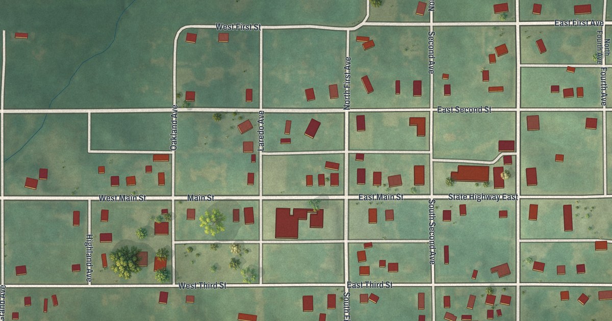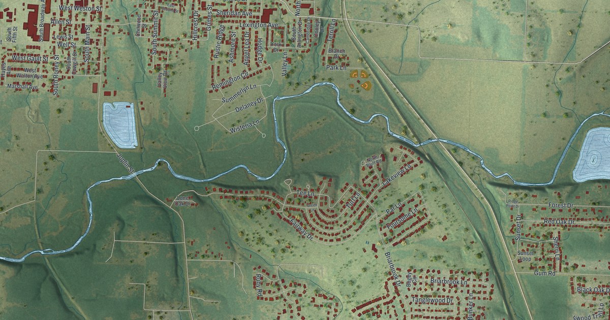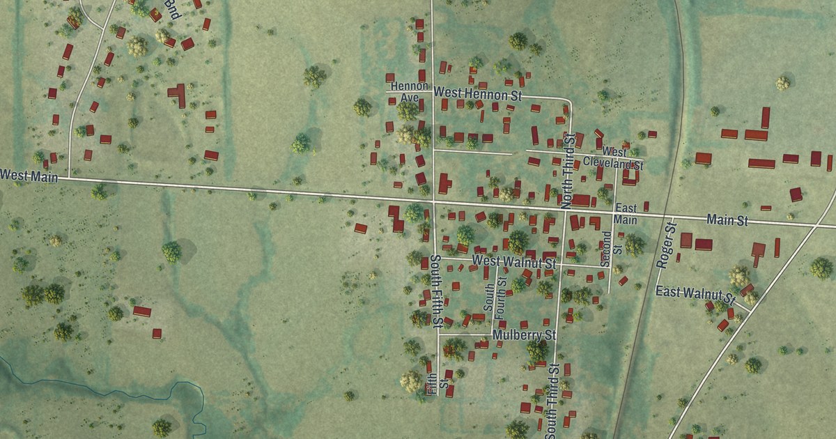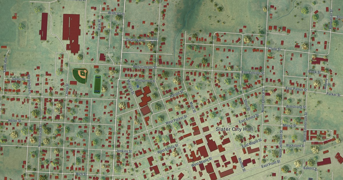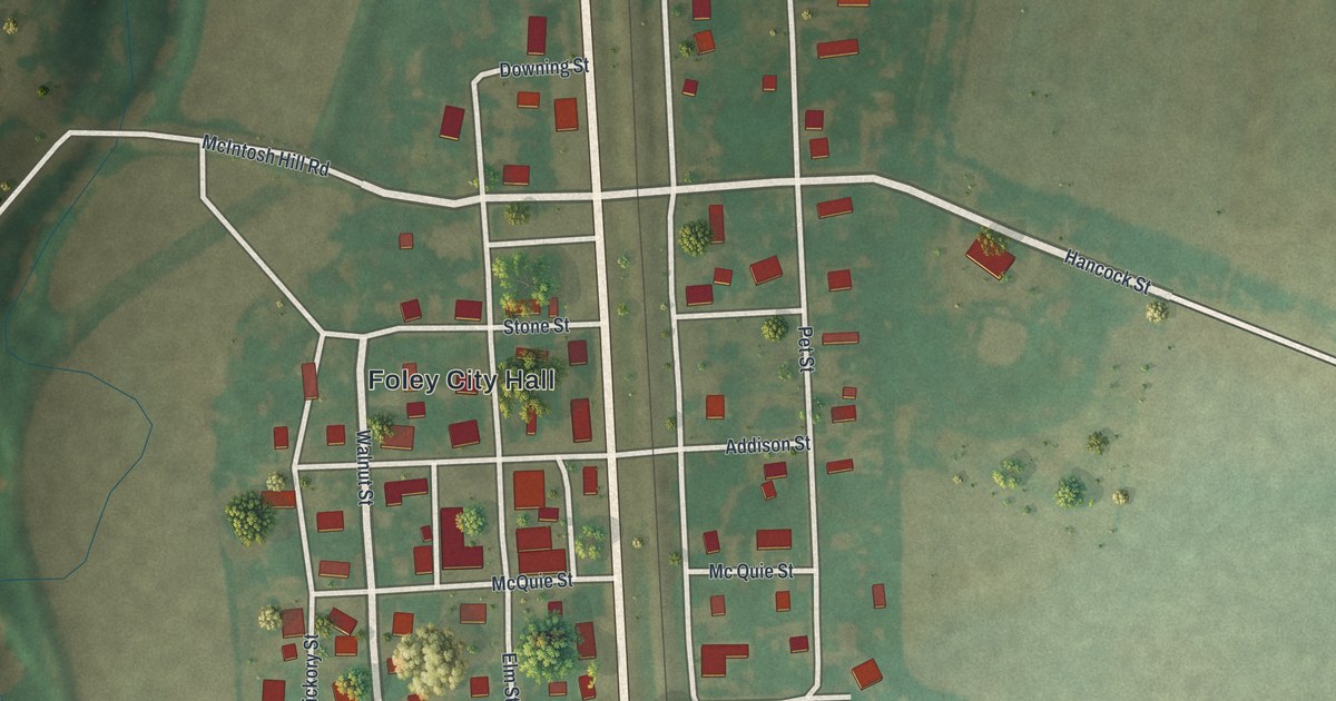
If you grew up in Foley, or your family still has ties to this small railroad town, this map puts home right in front of you. It's a modern aerial view of Foley in Lincoln County, Missouri, made from modern data and finished with a vintage feel. The town sits in the middle, with North State Highway 79 and the rail line running side by side from top to bottom. Green hills rise on the left, and wide, open farm fields fill the right side. Red shapes mark the buildings along the grid of streets.
Foley City Hall and the Streets Around It
On this map you'll find North State Highway 79, Foley City Hall, Railroad Avenue, Hancock Street, Downing Street, Mill Street, Walnut Street, Elm Street, Hickory Street, Addison Street, Stone Street, Adams Street, Pet Street, McQuie Street, McIntosh Hill Road, and more. Each red shape is a building, so zoom in on the preview and look for yours.
How the Railroad Depot Started Foley
Foley started with a deal over a train depot. The 1888 History of Lincoln County, Missouri tells the story. The St. Louis, Keokuk & Northwestern Railroad was coming through, about 51 miles from St. Louis. Just before it got here, B. F. Robertson bought six acres of land. He paid the railroad to put the depot on his land. Then he bought 144 more acres and teamed up with John C. Downing. The two of them laid out the town in October 1879. Downing Street, printed on this map, shares his name.
Why the Town Is Called Foley
The town's name came from a second deal. William McQuire ran the Foley estate, and he laid out another part of town. He gave lots to the railroad on two conditions. The depot had to stay where it was, and the town had to be named Foley. The name honored Miss Addie Foley. The railroad said yes. D. N. Trescott built the first store the same year the depot went up. Soon a building boom followed.
In 1880, a flour mill called the Burr Oak Valley Mills was moved to Foley. It stood at the south end of town. By 1888, its owner used it to store grain instead of grind it.
A Foley Map for Home or Far Away
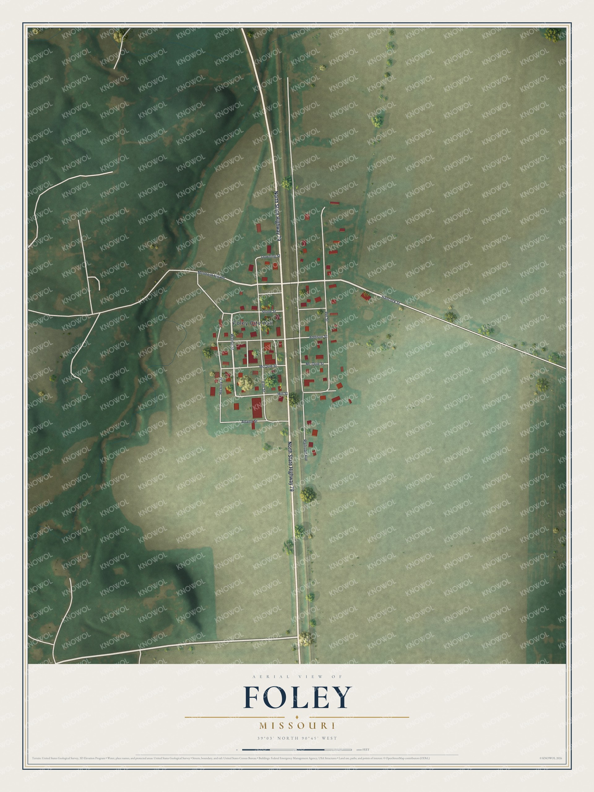
Created by KNOWOL in 2026, this print shows Foley from above in soft greens and tans. Shaded hills roll down the left side, pale fields stretch to the right, and red buildings cluster around the highway and the tracks. The title panel at the bottom reads "Aerial View of Foley, Missouri" with the coordinates 39°03' North 90°45' West.
It fits a living room, a front hall, an office or a den. It makes a good gift for someone who grew up near Foley City Hall, or for family who moved away but still think of the little town along Highway 79. Open the preview and find the streets you know. See sizes and frames for the Foley map.