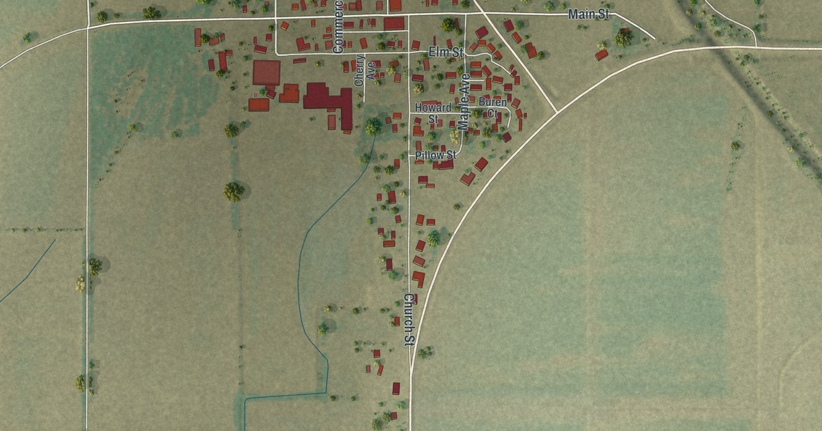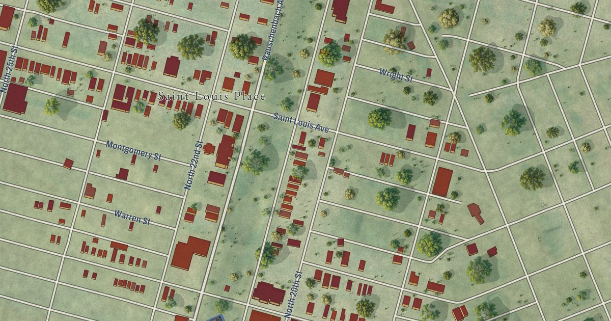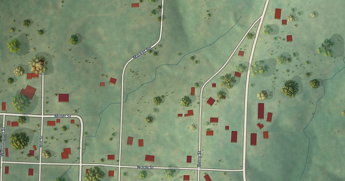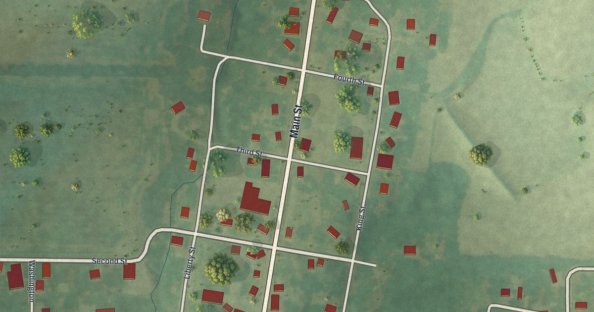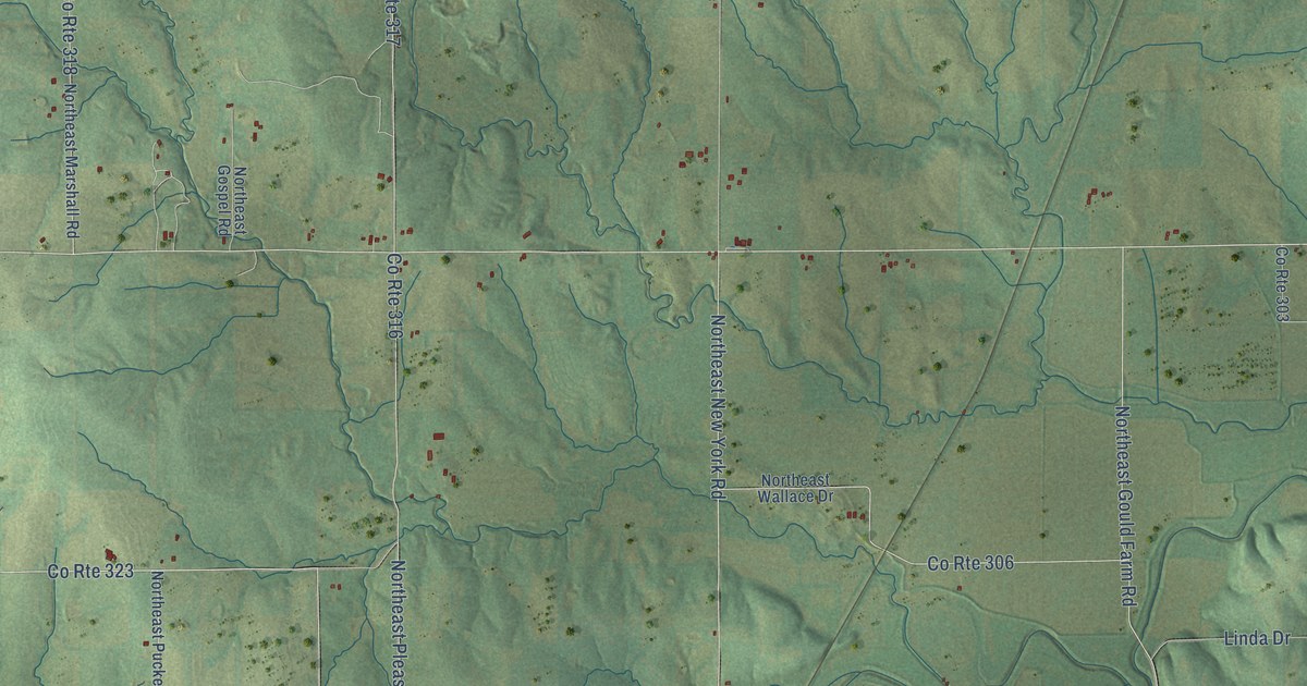
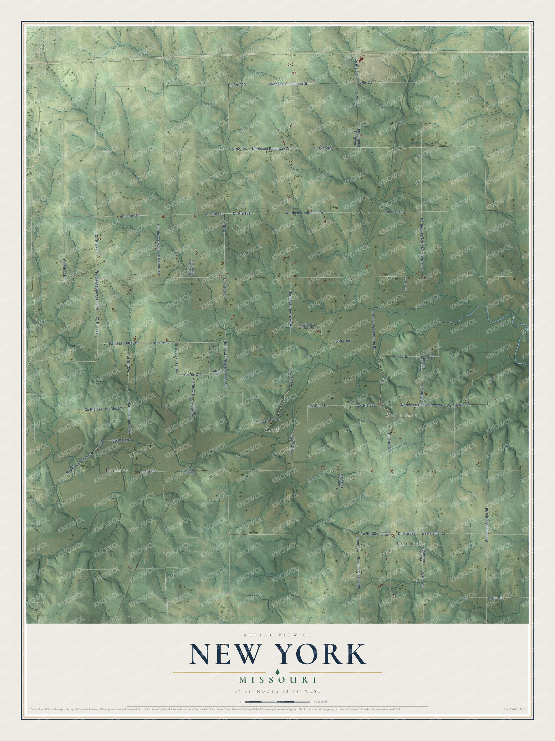
This beautifully detailed map of New York, Missouri was created in 2026 using aerial imagery combined with modern topographical, census, street and landmark data. It’s a one-of-a-kind view of New York that combines accurate data with a vintage aesthetic. The map shows every building in its true location, many of the roads carry their names, and the shaded topographic relief shows the shape of the land.
Explore an aerial view of New York, Missouri
On the map you’ll find Easterville, Bonanza, Gould Farm, and Shoal, along with Northeast Sandstone Drive, Easterville Road, Northeast New York Road, Northeast Bonanza Drive, Northeast Jefferson Drive, Northeast Pleasant Ridge Road, Northeast Gould Farm Road, Linda Drive, and more. If you look closely you can even find your house accurately drawn in its correct location. Zoom in on the preview to look for yours.
Did You Know?
From Internet Archive: "Mill property in Central New York, for much less than it is really worth, with small payment down, or would take a partner with small capital to take charge of and sun the mill."
New York is a community in Caldwell County.
Take a closer look at the New York map
Names on this map
These names are printed on this map.
Places: Easterville, Bonanza, Gould Farm and Shoal.
Streets and roads: Northeast Sandstone Drive, County Route 322, County Route 320, County Route 120, County Route 319, County Route 130, County Route 119, County Route 296, County Route 323, County Route 131, County Route 335, Easterville Road.
More street names, A to Z
Ayres Road, Beaver Road, County Route 115, County Route 117, County Route 118, County Route 126, County Route 295, County Route 299, County Route 301, County Route 302, County Route 303, County Route 304, County Route 305, County Route 306, County Route 307, County Route 309, County Route 310, County Route 311, County Route 312, County Route 313, County Route 314, County Route 315, County Route 316, County Route 317, County Route 318, County Route 324, County Route 325, County Route 326, County Route 327, County Route 333, County Route 334, County Route 342, County Route 344, Linda Drive, Northeast Beaver Drive, Northeast Bonanza Drive, Northeast Gospel Road, Northeast Gould Farm Road, Northeast Hardy Drive, Northeast Hulser Road, Northeast Jefferson Drive, Northeast Marshall Road, Northeast Nettleton Road, Northeast New York Road, Northeast Otter Road, Northeast Pacific Road, Northeast Pleasant Ridge Road, Northeast Puckett Road, Northeast Ridgeway Drive, Northeast Shoal Station Drive, Northeast Spring Hill Road, Northeast Spring Valley Road, Northeast Wallace Drive, Northeast Windgate Drive, Southeast Allis Drive, Southeast Leslie Road, Southeast Lida Road, Southeast Penn Road, Southeast Sparks Road.
See it on a wall
The New York map as a framed print. Swipe for more.


This beautifully detailed map of New York makes an attractive addition to your office, library, or den, and it can even be used to teach children the geography and history of the area. It also makes a great gift for someone who left New York and still calls it home. When you’re done exploring, click here to get your copy of the New York map.