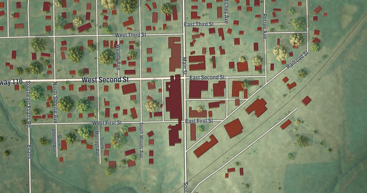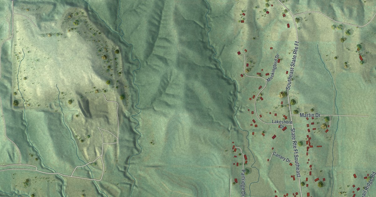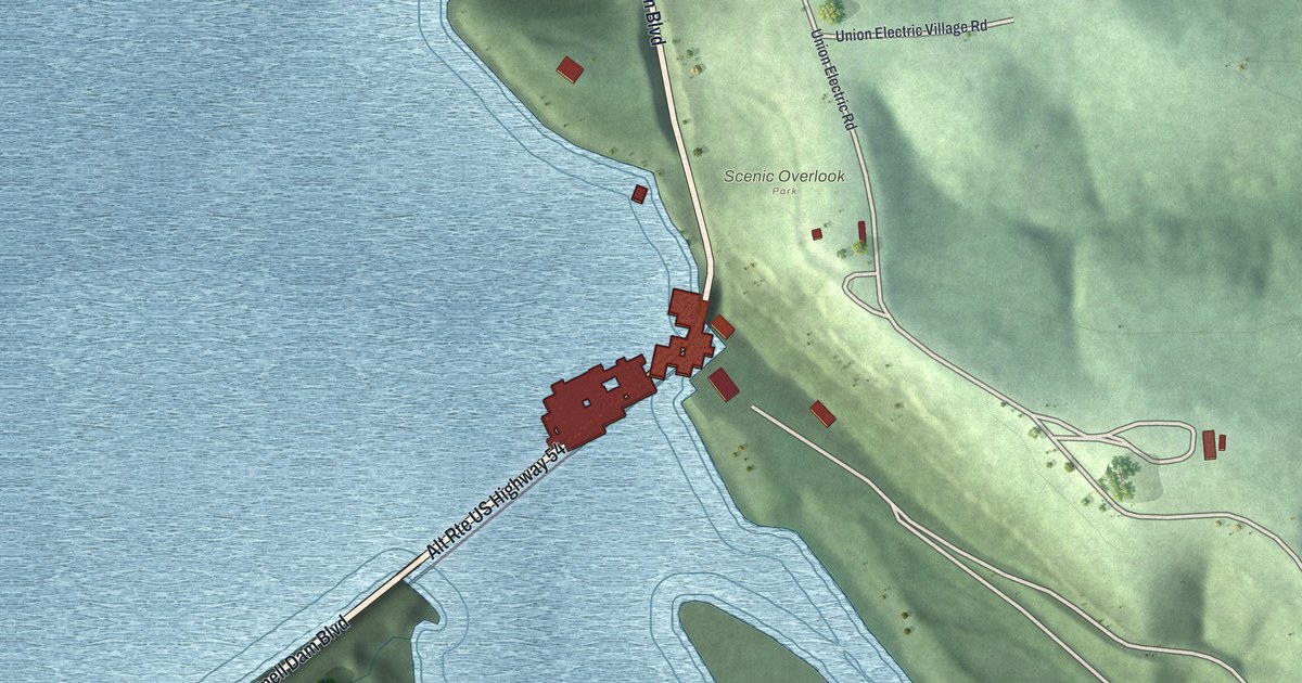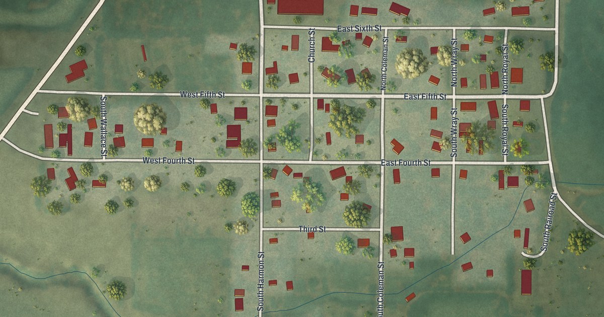
If you grew up in Pickering, this print lets you keep its streets close. It's a modern aerial view of Pickering in Nodaway County, Missouri, made with modern data and a vintage feel. Red buildings gather along a small street grid, with green fields stretching around town.
Railroad Street and the Pickering name
On this map you'll find Railroad Street, North Coleman Street, South Coleman Street, North Royal Street, South Royal Street, East Fifth Street, West Fifth Street, East Fourth Street, West Fourth Street, Church Street, and more. Each red shape is a building, so zoom in on the preview and look for yours.
Pickering's name came from a person connected with the railroad. The 1882 history of Nodaway County says Josiah Coleman surveyed the town. He named it for Pickering Clark, who held a railroad job. Coleman had also farmed the land where Pickering grew. He sold the town site to Judge Andrew Royal. On today's map, you can find Coleman and Royal in the street names, alongside Railroad Street.
Pickering's streets on your wall
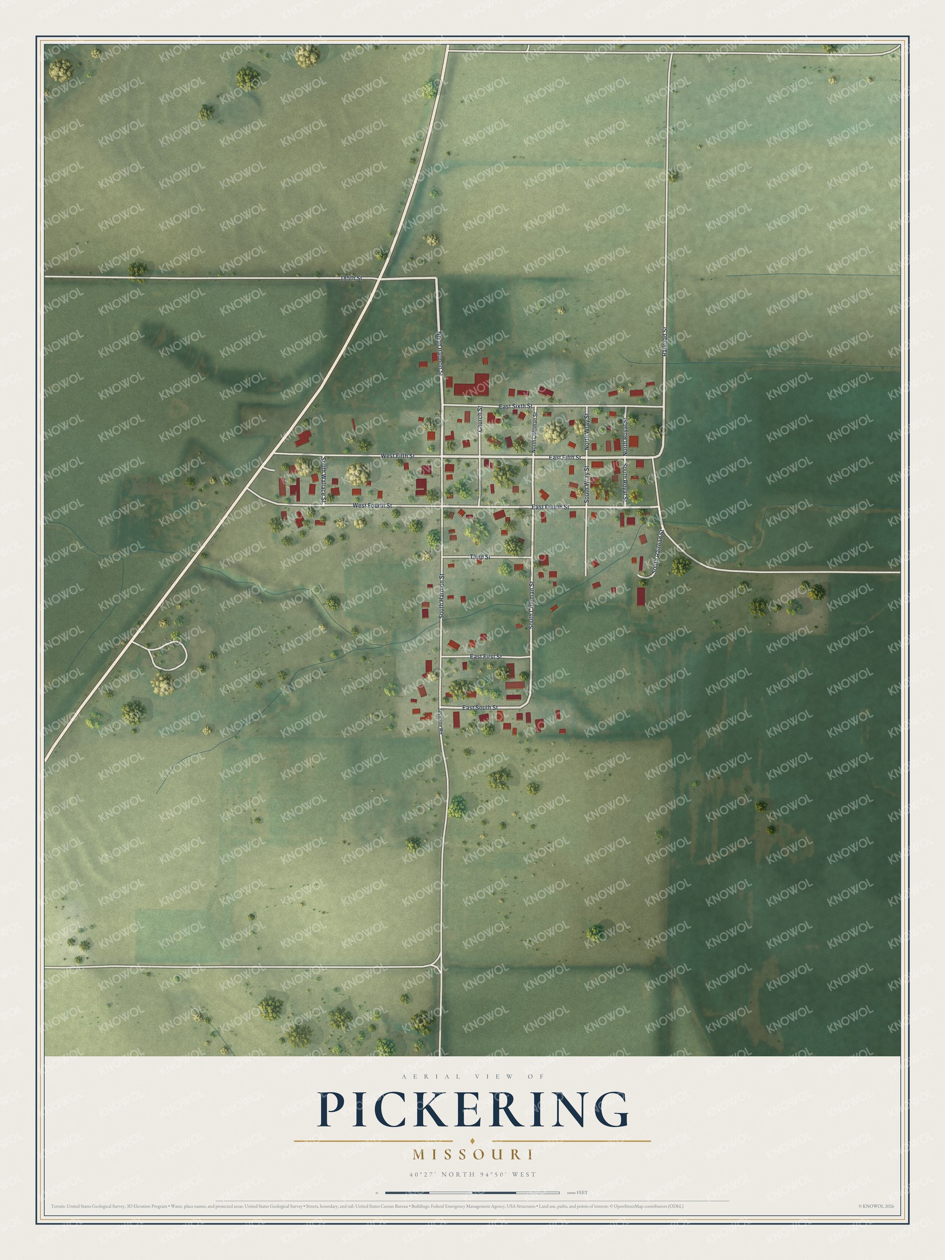
Created by KNOWOL in 2026, the print pairs soft green land with red buildings and pale roads. A cream border surrounds the view. The title panel reads AERIAL VIEW OF PICKERING, MISSOURI, with 40°27' NORTH 94°50' WEST below.
It's a warm fit for a living room, home office, or entryway. Give it to someone who grew up on Church Street and now lives far from home. Open the preview to take a closer look at the streets and buildings. See sizes and frames for the Pickering map.